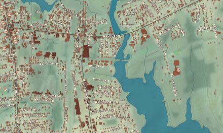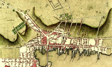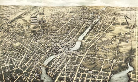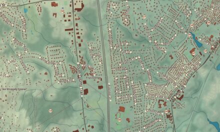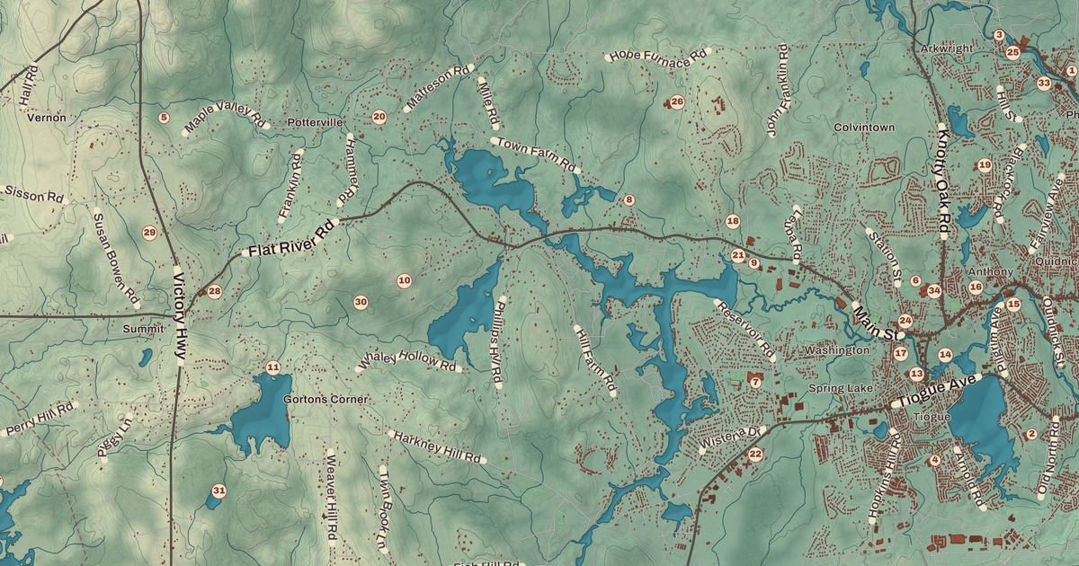
Nathanael Greene built his house in Coventry in 1770, and the village of Greene at the other end of town carries his name. Anthony and Greene are both printed on this map, along with Harris Mill, the Arkwright Bridge, the Coventry Town Farm, the Rice City Historic District, the Anthony Village Historic District, Foster Memorial Park, the Maxwell Mays Wildlife Refuge and Harkney Hill Road.
Coventry is in Kent County, and it runs all the way from West Warwick to the Connecticut line.
KNOWOL made this map in 2026 from public survey records and gave it the look of an old atlas. The shaded relief around Foster Memorial Park and the Maxwell Mays Wildlife Refuge comes from United States Geological Survey elevation data. The streets come from Census Bureau files, down to Harkney Hill Road, and the Census Bureau puts the town at 62.3 square miles, 59.5 of them land; the town page calls it the largest town in Rhode Island by land area. Harris Mill and the Arkwright Bridge are on the National Register of Historic Places, and we checked them against National Park Service records. Coventry had 35,688 people at the 2020 census.
A farm town in Warwick
English colonists settled here in the early 18th century, when the land was a far corner of Warwick, and it filled in slowly. By 1741 about 100 farm families lived here, enough to ask the General Assembly for a town of their own, and the new town was named for the English city of Coventry. It stayed a farming town for the rest of that century. The Waterman Tavern from the 1740s, the Paine Homestead and the Nathanael Greene Homestead all survive from those years, and the Maple Root Baptist congregation was organized in 1762.
Nathanael Greene lived in Coventry when the Revolution began, and he rose to become one of the leading generals of the American army; the town page says that by the war’s end he was second in command after George Washington. He built the house now called the General Nathanael Greene Homestead, or Spell Hall, at 50 Taft Street in 1770, on a property of 2,000 acres, and his family lived there through the war. Its front room held his library of more than 300 books. His brother Jacob owned it after him, and it stayed with the Greenes until 1899. An association formed in 1919 to restore it opened the house as a museum in 1924, and it became a National Historic Landmark in 1972.
The mill villages
The Industrial Revolution reached Coventry with the first mill in Anthony. The village was once called Greenville, for the Greene family, who ran a gristmill, forge and sawmill there, and also the Quaker Village; many of its families, the Greenes among them, were Quakers who met at the meeting house on Meeting Street. William and Richard Anthony built a textile mill there in 1805 and gave the village its name. The heart of the old village, about 250 acres along Washington Street reaching south to the Greene Homestead, became the Anthony Village Historic District in 2010. Over the next century the east end of town filled with mills at Anthony, Washington, Quidnick and Harris, and the jobs drew French Canadian and Irish families. By the end of the 1800s nearly a quarter of the town had been born outside the country, and French was the main language for many people in eastern Coventry.
Harris Mill, at 618 Main Street in Harris village, sits on the North Branch of the Pawtuxet River. Elisha Harris, who had recently been governor of Rhode Island, founded it, and the oldest part of the main mill dates to 1850. It wove cotton twill, became part of Interlaken Mills in 1900, and ran until 1953. In 2014 the ten-building complex was restored as the Harris Mill Lofts apartments, and it’s been on the National Register since 2007.
The Arkwright Bridge carried Hill Street over the Pawtuxet River at the Arkwright mill village, where the river is the line between Coventry and Cranston. Dean and Westbrook built the iron truss in 1888 for the town and the Interlaken Mills, and its page calls it the longest surviving 19th-century truss bridge in Rhode Island. It’s 128 feet, 6 inches long and joined the National Register in 1978. Both communities closed it in 2011, and it has stood unused since.
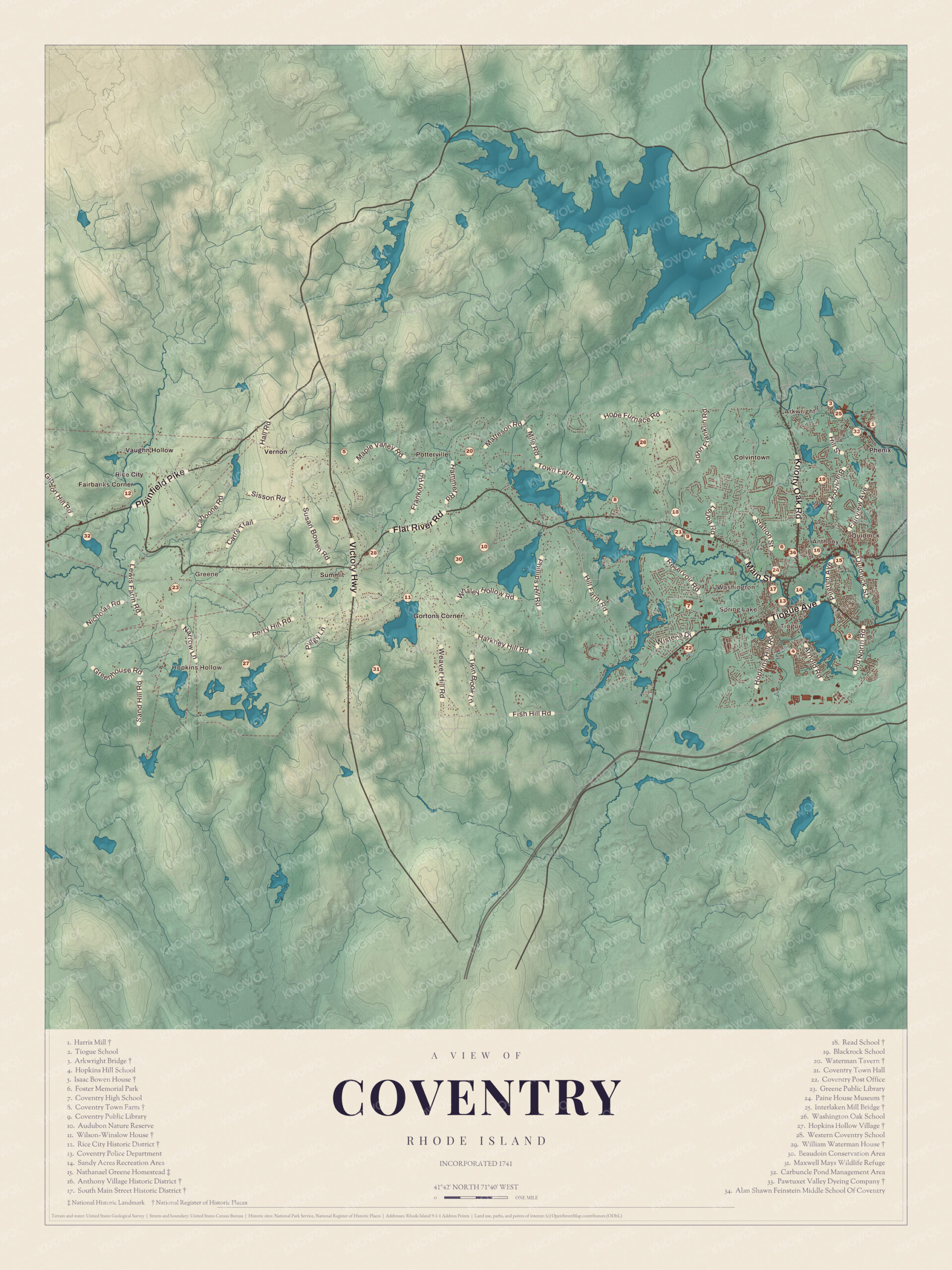
Click to explore a larger preview. The digital watermark does not appear on printed maps.
Names on this map
These names are printed on this map.
Places: Anthony, Greene, Washington, Rice City, Arkwright, Potterville, Hopkins Hollow, Summit and Pawtuxet Valley.
Streets and roads: Nicholas Rd, Sand Hill Rd, Fish Hill Rd, Matteson Rd, Phillips Hill Rd and Hill Rd.
West of the mills
The western end of Coventry stayed rural. Greene was a swamp with a cart path through it until the railroad arrived in the early 1850s; the stop was first called Coffin Station, after the nearest road, and in 1856 the railroad renamed it Greene for the general. Farmers brought their produce to meet the 7:25 milk train to Providence, and the village grew up shipping milk, wood and cranberries. The Advent Christian Church held summer camp meetings there from 1880, and up to 10,000 people came. The depot closed in 1969, and the old rail line is now the Coventry Greenway, a trail of 15 miles from the Connecticut line to West Warwick.
Rice City, in the northwest, strings along Plainfield Pike for several miles. Its center is Rice Tavern, built in 1804 for travelers on their way to Connecticut, with the Rice City Church and the Obadiah Potter House, both from 1846, and the Democrat Schoolhouse nearby. The Rice City Historic District joined the National Register in 1980.
Around Coventry
The Coventry Town Farm is the Joseph Briggs House, built around 1790. The town bought it from Briggs’s heirs in 1851 for its poor farm and ran it into the 1930s, and its page calls it one of the few such farms to remain relatively intact; today it’s a two-family home. The Maxwell Mays Wildlife Refuge is on the farm of Maxwell Mays, the painter known for his whimsical scenes of Rhode Island, who served in a map-making unit in World War II and lived in Greene until his death in 2009; the Audubon Society of Rhode Island cares for it. Foster Memorial Park is on the map as well. Two governors were born in Coventry: Henry B. Anthony, Rhode Island’s 21st governor, who was also a United States senator, and Henry P. Baldwin, governor of Michigan.
This map of Coventry is a natural fit for an office, library or den, and it can help teach children the geography and history of a long town that runs from mill villages to farm country. KNOWOL made it in 2026 for people who call Coventry home, from Anthony to Greene, and it shows the town as it looks today. Zoom in on the preview above to explore the details, then click here to get your copy of the Coventry map.

Sources
- Coventry, Rhode Island, Wikipedia
- General Nathanael Greene Homestead, Wikipedia
- Anthony, Rhode Island, Wikipedia
- Harris Mill, Wikipedia
- Arkwright Bridge, Wikipedia
- Greene, Rhode Island, Wikipedia
- Rice City Historic District, Wikipedia
- Joseph Briggs House (Coventry Town Farm), Wikipedia
- Maxwell Mays, Wikipedia