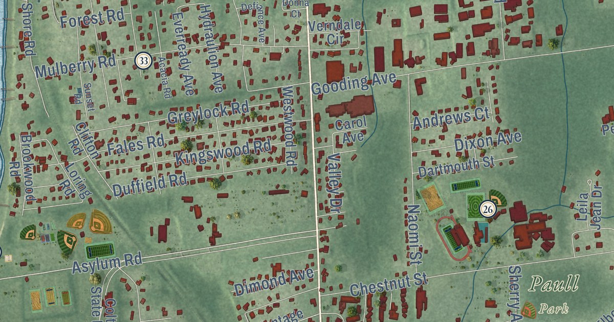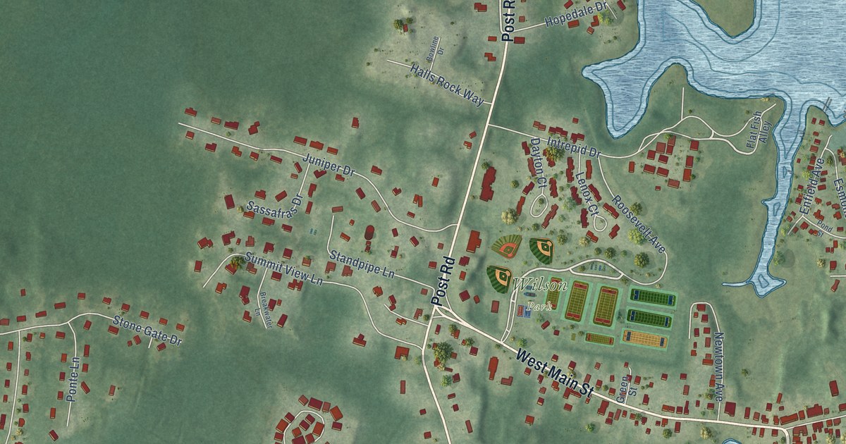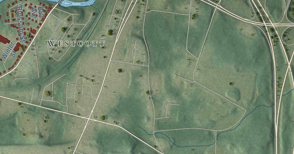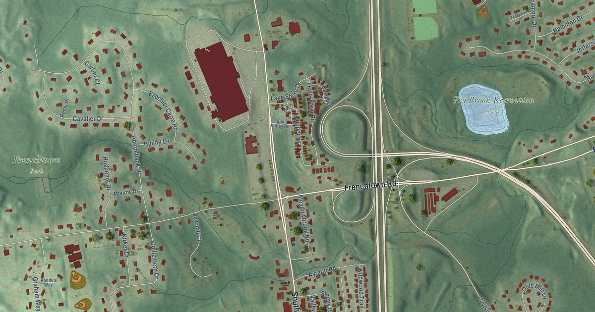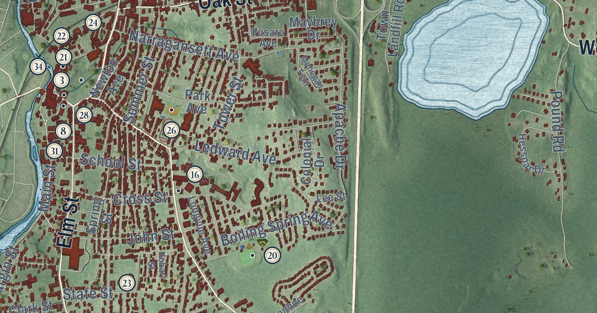
This beautifully detailed map of Westerly, Rhode Island was created in 2026 using aerial imagery combined with modern topographical, census, street and landmark data. It’s a one-of-a-kind view of Westerly that combines accurate data with a vintage aesthetic. The map shows every building in its true location, many of the roads carry their names, and the shaded topographic relief shows the shape of the land.
See the Westerly, Rhode Island map on a wall
The Westerly map as an 18 x 24 inch print in a black frame.

Explore an aerial view of Westerly, Rhode Island
On the map you’ll find Potter Hill, Bradford, Watch Hill, Avondale, McGowan Corners, Weekapaug, White Rock, Dunn Corner, Misquamicut, Langworthy Corner, Stillmanville, Haversham, and more. If you look closely you can even find your house accurately drawn in its correct location. Zoom in on the preview to look for yours.
Did you know this piece of Westerly, Rhode Island history?
Granite cutting began in Westerly when the Crumb Quarry opened in 1834. The Smith Granite Company later employed many skilled stone cutters until the quarries closed in the 1950s. Hundreds of their works stand on the Gettysburg battlefields and at the Georgia State Capitol.
Take a closer look at the Westerly map
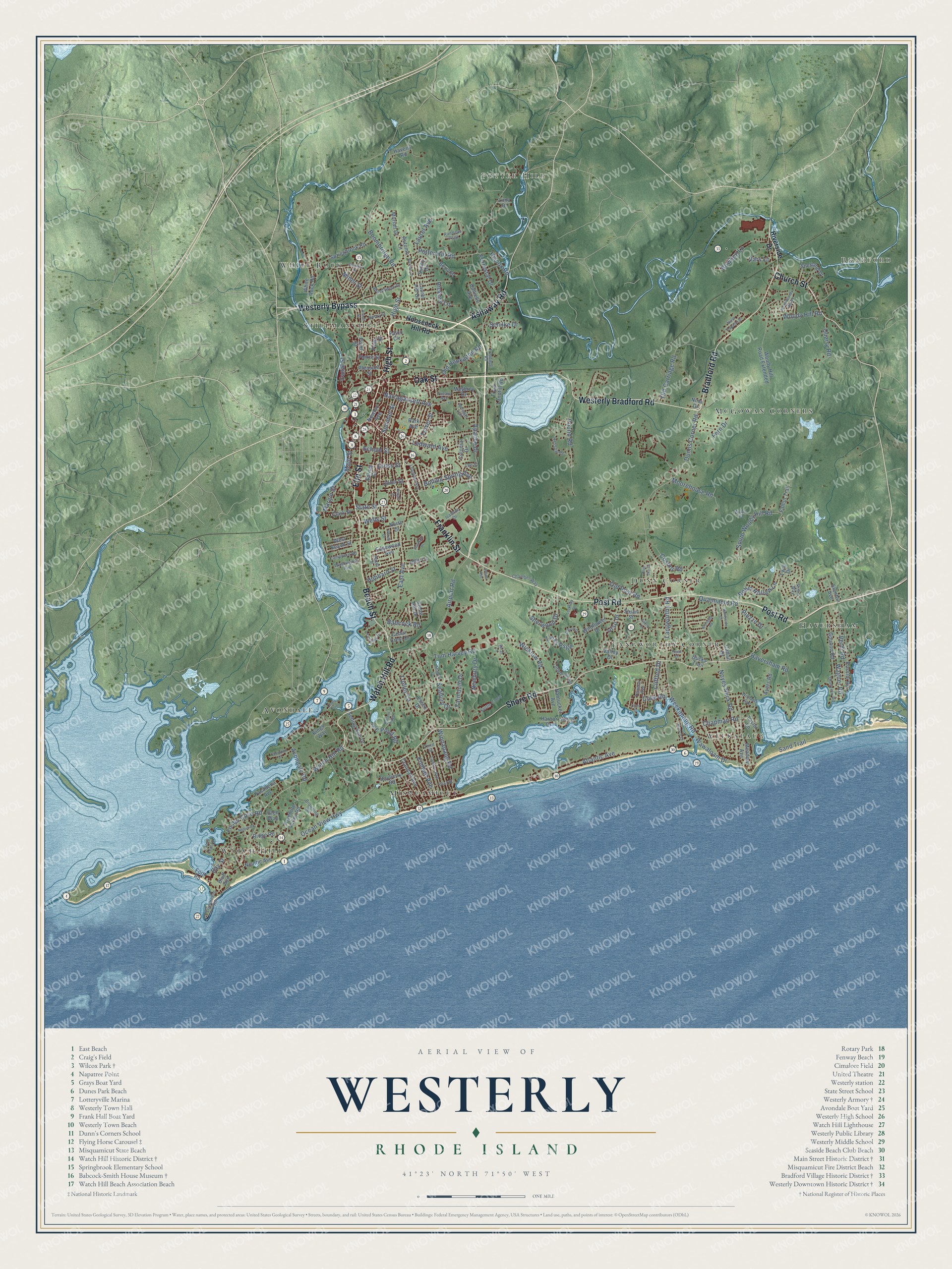
Click to explore a larger preview. The digital watermark does not appear on printed maps.
Street and place names on the Westerly, Rhode Island map
These names are printed on the map of Westerly, Rhode Island.
Places: Potter Hill, Bradford, Watch Hill, Avondale, McGowan Corners, Weekapaug, White Rock, Dunn Corner, Misquamicut, Langworthy Corner, Stillmanville and Haversham.
Streets and roads: Westerly Bypass, Watch Hill Road, Beach Street, High Street, Franklin Street, Ashaway Road, Westerly Bradford Road, Bradford Road, Post Road, Church Street, Oak Street, Shore Road.
More street names, A to Z
Airport Road, Apache Drive, Ashell Street, Atlantic Avenue, Autumn Lane, Avondale Road, Ayers Road, Babcock Road, Bayberry Road, Bay Street, Berry Drive, Blue Sky Drive, Bluff Avenue, Boiling Spring Avenue, Boombridge Road, Bottom Ridge, Bowling Lane, Brandywine Drive, Breach Drive, Browning Road, Bucks Trail, Canal Street, Canyon Drive, Cattail Drive, Cedar Crest Drive, Chamber Way, Champlin Drive, Chapman Road, Clark Street, Clifford Drive, Colonial Drive, Cosmo Road, Cove Road, Crandall Avenue, Cross Street, Danielle Avenue, Donizetti Road, Dunns Corner Road, East Avenue, Edgewood Avenue, Elm Street, Essex Drive, Falco Circle, Fallon Trail, Fern Drive, First Street, Forrestal Drive, Fort Road, Foster Cove Road, Fountain Drive, Frontage Road, Fusaro Avenue, Glen Way, Gounod Road, Harbor Drive, Havens Road, Haversham Road, Hazel Street, Henry Street, Hesspar Drive, Hickory Lane, Hiscox Road, Hobart Street, Hubbard Street, Ice Pond Road, India Point, Ivanhoe Drive, John Street, Jolly Lane, Kettle Close, Kimball Avenue, Kings Way, Lamphere Road, Langworthy Road, Laurel Avenue, Laurel Hill Drive, Lawton Avenue, Ledward Avenue, Lee Street, Lighthouse Road, Lima Drive, Links Psge, Littlebrook Road, Locksley Drive, Longvue Avenue, Main Street, Margin Street, Maybrey Drive, Meadow Avenue, Miner Street, Mohegan Trail, Moorehouse Road, Moriah Drive, Nantucket Avenue, Narragansett Avenue, Nepun Road, Newbury Drive, Newton Avenue, Niantic Avenue, Nichols Lane, Nina Drive, Nooseneck Hill Road, North Capalbo Drive, North Drive, North Woody Hill Road, Noyes Neck Road, Ocean View Highway, Old Carriage Road, Old Hopkinton Road, Old Post Road, Park Avenue, Pasadena Avenue, Pearl Street, Pierce Street, Piezzo Drive, Pleasant Street, Pond Street, Potter Hill Road, Pound Road, Quannacut Road, Quarry Road, Randeau Psge, Reed Drive, Rhody Drive, Ridge Road, Riverside Drive, Robin Hollow Lane, Robin Way, Rossini Road, Sacco Drive, Sand Trail, Sarah Lane, Saundra Drive, Schilke Drive, School Street, Seabury Drive, Seabury Lane, Setting Sun Drive, Shell Drive, Sherwood Drive, Shetland Drive, South Woody Hill Road, Springbrook Road, Spring Street, State Street, Stenton Avenue, Stone Hill Drive, Stuart Street, Summer Street, Sunny Drive, Sunnyside Drive, Taylor Lane, Terrace Avenue, Third Street, Timothy Drive, Tom Harvey Road, Tower Street, Town Landfill Road, Trolley Lane, Twig Drive, Urso Drive, Utter Street, Valley Drive, Vars Lane, Verdi Road, Wagner Road, Washington Avenue, Waters Edge Road, Wawaloam Drive, Weekapaug Road, Wells Street, West Beach Street, White Rock Road, Wicklow Road, Wilder Avenue, Wildflower Drive, Williams Avenue, Winnapaug Road, Wompag Road, Woody Hill Road, Woody Hill Road Extended, Woody Road, Yarmouth Drive, Yosemite Valley Road.
This beautifully detailed map of Westerly makes an attractive addition to your office, library, or den, and it can even be used to teach children the geography and history of the area. It also makes a great gift for anyone who grew up in Westerly or moved away. When you’re done exploring, click here to get your copy of the Westerly map.