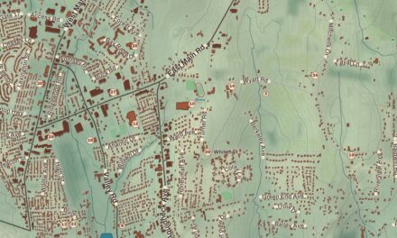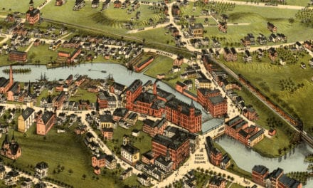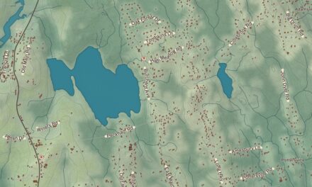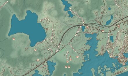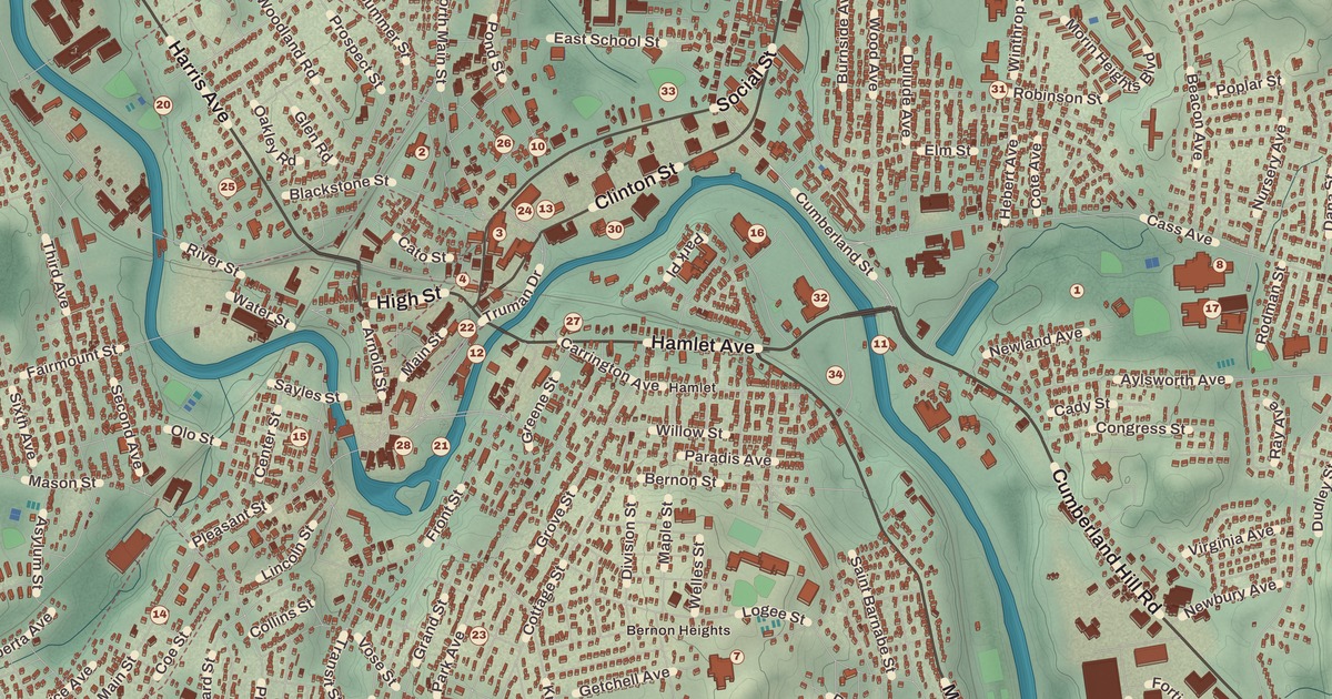
For a good part of the 1900s, most of the talk on Woonsocket’s streets was in French. This map of Woonsocket prints Bernon Heights and Globe, Cass Park and Globe Park, the Museum of Work and Culture, the Allen Street Historic District, the South Main Street Historic District, the Bernon Worsted Mill, the French Worsted Company Mill Historic District and Mendon Road.
Woonsocket is in Providence County, on the Blackstone River, and it’s Rhode Island’s northernmost city, right on the Massachusetts line.
KNOWOL made this map in 2026 from public survey records and gave it the look of an old atlas. The shaded relief around Cass Park and Globe Park comes from United States Geological Survey elevation data. The streets come from Census Bureau files, down to Mendon Road, and the Census Bureau puts the city at 8.0 square miles, 7.7 of them land. The Gov. Aram J. Pothier House and the Allen Street Historic District are on the National Register of Historic Places, and we checked them against National Park Service records. Woonsocket had 43,240 people at the 2020 census, the sixth-largest city in the state.
Six mill villages
The Nipmuc, Wampanoag and Narragansett lived here first, and when Roger Williams bought the area in 1661 he wrote of it as Niswosakit. Its page offers several possible sources for the name Woonsocket, from Nipmuc place names in nearby Massachusetts to Woonsocket Hill in North Smithfield. The city grew as six mill villages along the Blackstone, whose water powered the mills. Woonsocket Falls Village, founded in the 1820s, took in much of the land around Market Square. In Social Village, the Social Manufacturing Company began making cotton thread in a small wooden mill on the Mill River in 1810, the city’s first textile mill. Job and Luke Jenckes founded Jenckesville in 1822 and built Woonsocket’s first stone mill. Hamlet was founded in 1815 by General Edward Carrington, one of the creators of the Blackstone Canal. Globe took its name from the Globe Mill. And Bernon, first called Danville, was renamed by Sullivan Dorr and Crawford Allen, who bought the mill company there in 1832. In 1867, Woonsocket Falls, Social and Jenckesville left the town of Cumberland to become the town of Woonsocket; Hamlet, Bernon and Globe joined from Smithfield in 1871; and Woonsocket became a city in 1888.
The most French city
The mills brought newcomers, most of them from Quebec and other parts of French Canada. In 1899 the Union Saint-Jean-Baptiste d’Amérique, a national French-Canadian cultural and benefit society, chose Woonsocket for its headquarters. By the Great Depression, people of French-Canadian descent made up 75 percent of the city; there were French newspapers, and radio programs, movies and most public conversation were in French. As late as 1980, 70 percent of the city was of French-Canadian descent, and Woonsocket has called itself La ville la plus française aux États-Unis, “the most French city in the United States.” It’s also home to the American-French Genealogical Society. During World War II the mills came back to life making fabric for the war, uniforms among it, and today Woonsocket is the headquarters of CVS Health. Since 1979 the city has held Autumnfest every Columbus Day weekend at World War II Veterans Memorial State Park.
Aram J. Pothier was born in Quebec City in 1854 and followed his parents to Woonsocket. His father bought a modest story-and-a-half house on Pond Street around 1881, and Pothier lived there the rest of his life. He was mayor of Woonsocket in the 1890s, served as governor from 1909 to 1915 and again from 1925 until his death in 1928, and was the first governor of Rhode Island of French-Canadian descent. That Pond Street home is the Gov. Aram J. Pothier House, listed on the National Register.
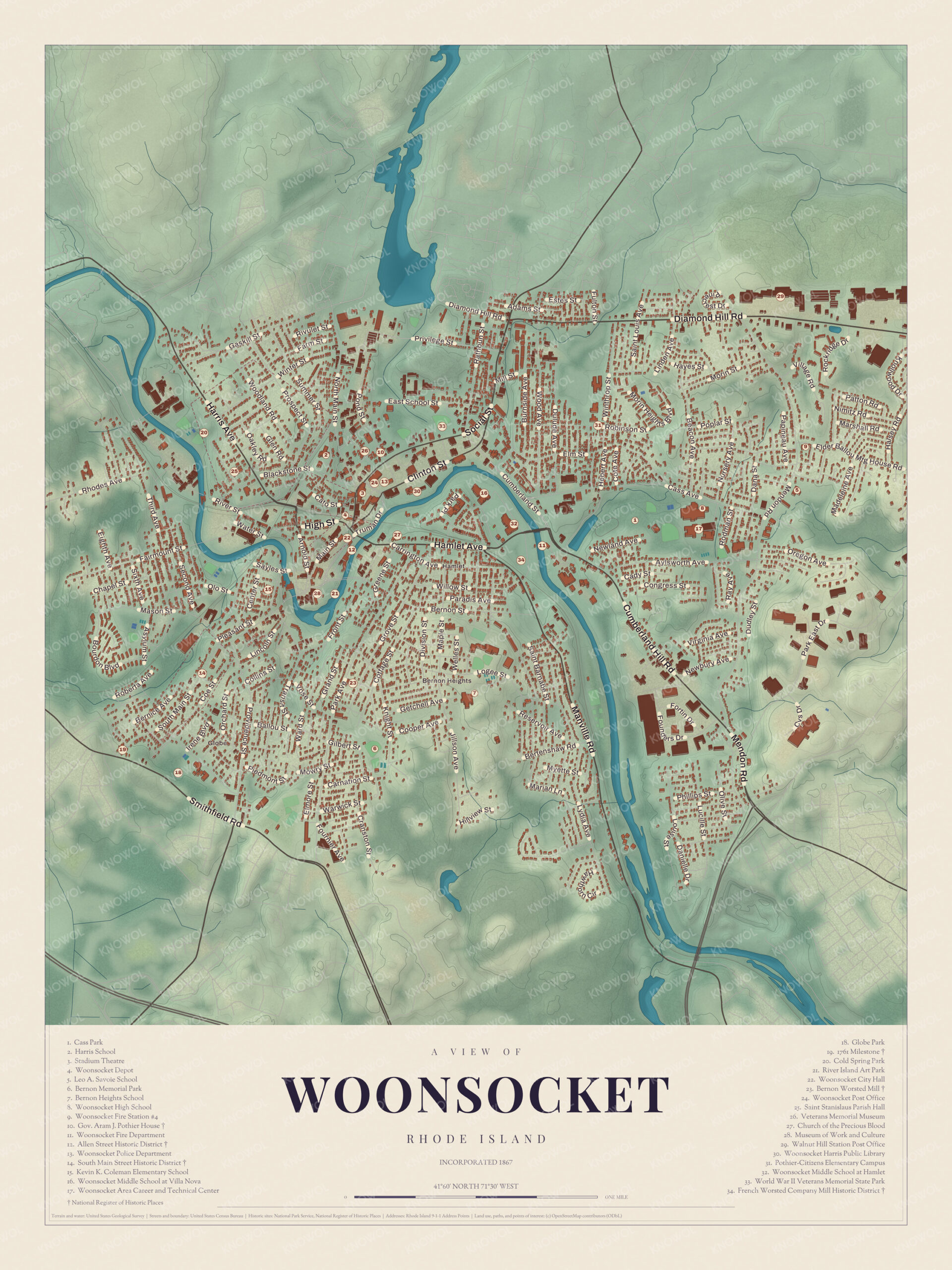
Click to explore a larger preview. The digital watermark does not appear on printed maps.
Names on this map
These names are printed on this map.
Places: Globe and Hamlet.
Streets and roads: Estes St, Diamond Hill Rd, Privilege St, Hill Rd, Pound Hill Rd, High St, Mason St, River St, Main St, Chapel St, Roberta Ave, N Main St.
More street names, A to Z
Cady St, Cranston St, Dudley St, E School St, Grand St, Greene St, Hamlet Ave, Hayes St, Jillson Ave, Marian Ln, Mendon Rd, Morin St, Newland Ave, Patton Rd, Providence St, Rodman St, Winthrop St.
The mills on the map
The Museum of Work and Culture, at 42 South Main Street in Market Square, is run by the Rhode Island Historical Society and tells the story of the families who came to work in the valley’s mills. Visitors start in a farmhouse in 19th-century Quebec, cross into the United States and the working world of the mills, and see the newcomers’ lives at home, at work and at school, along with the story of the Independent Textiles Union. The Allen Street Historic District, beside the Blackstone in the center of the city, keeps five textile mill buildings, four of them brick mills from about 1900 to 1920, and the oldest building in the district, Pond’s Warp Mill of about 1860, at 148 Bernon Street. Beside the warp mill lies a rare visible piece of the canals that once ran all through the industrial center. Many of the old buildings are now homes, and the district joined the National Register in 1990.
The Bernon Worsted Mill at 828 Park Avenue is a long, two-story brick mill that Charles Augustus Proulx built in 1919 to spin custom worsted wool yarns, and it made textiles off and on until 2004. It joined the Register in 2005, the same year it became the Red Mill Lofts. The French Worsted Company Mill Historic District, between Hamlet Avenue, Davison Avenue and Manville Road, was sixteen brick buildings put up from 1906 to the late 1920s for a company started with money from French investors whom Aram Pothier brought over. The company spun fine worsted yarns until 1969, and the complex joined the National Register in 2008, but it was torn down in 2012.
The South Main Street Historic District runs along South Main Street from Mason Street to Andrews and Bradford streets, with Ballou and North Ballou streets. Most of its 65 properties went up between 1880 and 1930, with older Greek Revival houses, some from as early as 1830, at the north end, and its page calls it a typical American main road into town, lined with fine houses on landscaped lots. It joined the Register in 1982. Globe Park, in the old Globe village, is still a popular place for recreation, and Cass Park is on the map as well.
This map of Woonsocket fits an office, library or den, and it can help teach children the geography and history of a mill city with a French-Canadian heart. KNOWOL made it in 2026 for people who call Woonsocket home, from Bernon Heights to Globe, and it shows the city as it looks today. Zoom in on the preview above to explore the details, then click here to get your copy of the Woonsocket map.

Sources
- Woonsocket, Rhode Island, Wikipedia
- Historic mill villages of Woonsocket, Wikipedia
- Aram J. Pothier, Wikipedia
- National Register of Historic Places listings in Woonsocket, Rhode Island, Wikipedia
- Museum of Work and Culture, Wikipedia
- Allen Street Historic District, Wikipedia
- Bernon Worsted Mill, Wikipedia
- French Worsted Company Mill Historic District, Wikipedia
- South Main Street Historic District (Woonsocket, Rhode Island), Wikipedia