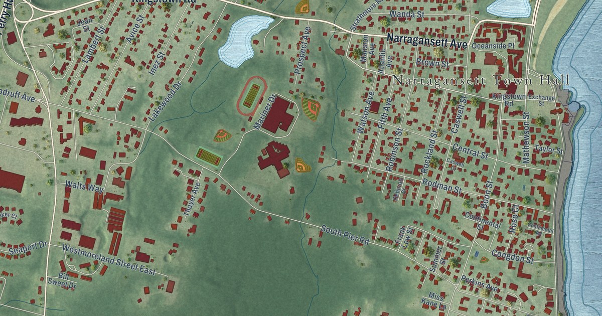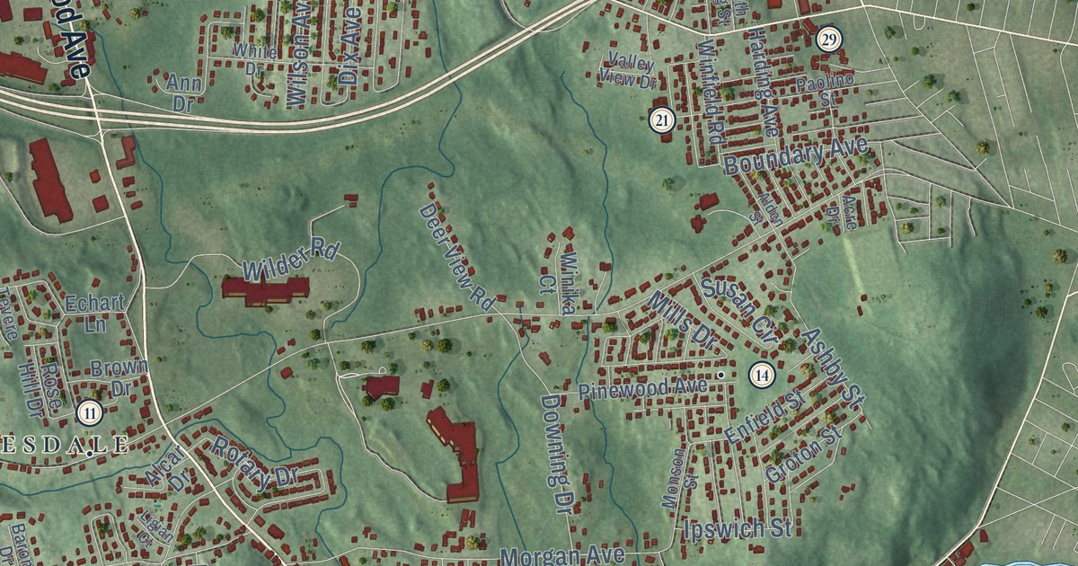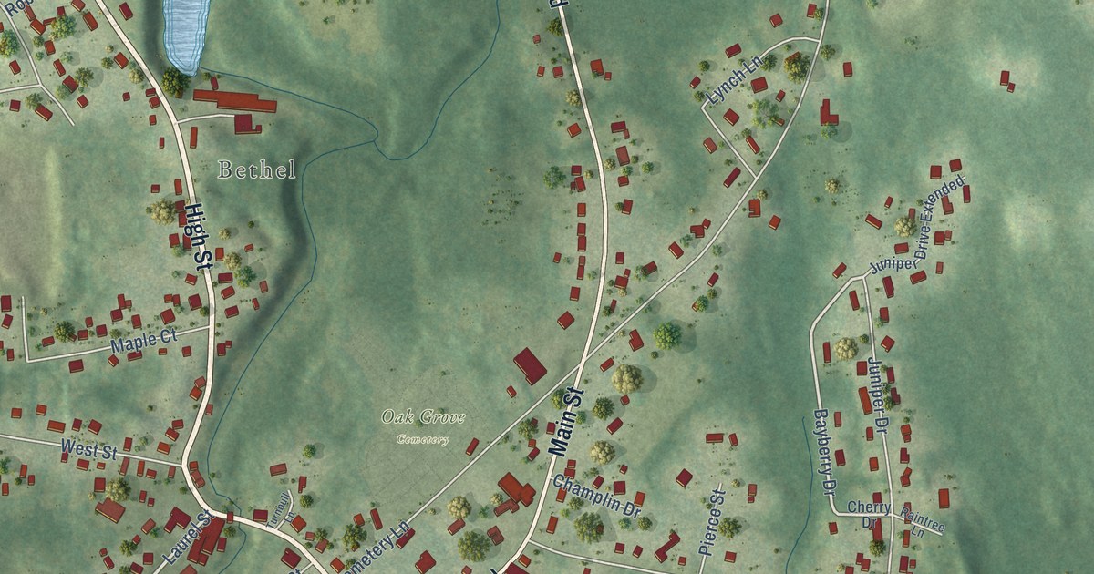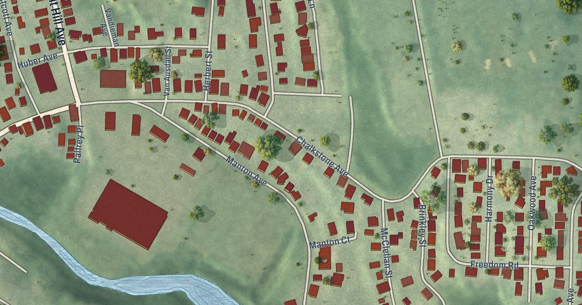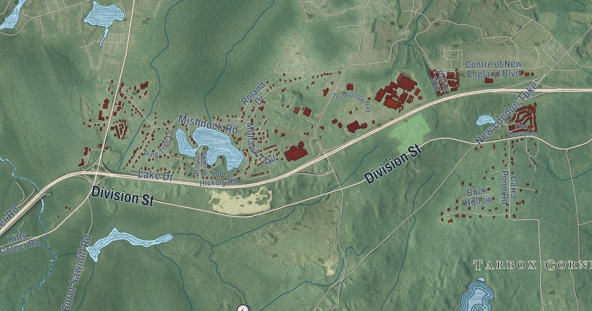
This beautifully detailed map of West Greenwich, Rhode Island was created in 2026 using aerial imagery combined with modern topographical, census, street and landmark data. It’s a one-of-a-kind view of West Greenwich that combines accurate data with a vintage aesthetic. The map shows every building in its true location, many of the roads carry their names, and the shaded topographic relief shows the shape of the land.
See the West Greenwich, Rhode Island map on a wall
The West Greenwich map as an 18 x 24 inch print in a black frame.

Explore an aerial view of West Greenwich, Rhode Island
On the map you’ll find West Greenwich Town Hall, Tarbox Corner, Escoheag, Arcadia Management Area, Queen River Preserve, Kitts Corner, and Nooseneck, along with Victory Highway, Nooseneck Hill Road, Division Street, Plain Road, Weaver Hill Road, and more. If you look closely you can even find your house accurately drawn in its correct location. Zoom in on the preview to look for yours.
Did you know this piece of West Greenwich, Rhode Island history?
The town is named for Greenwich, an old town in Kent, England. In 1741 it split off from East Greenwich to stand alone. Hopkins Hollow Village, which dates from 1728, is one of its historic places.
Take a closer look at the West Greenwich map
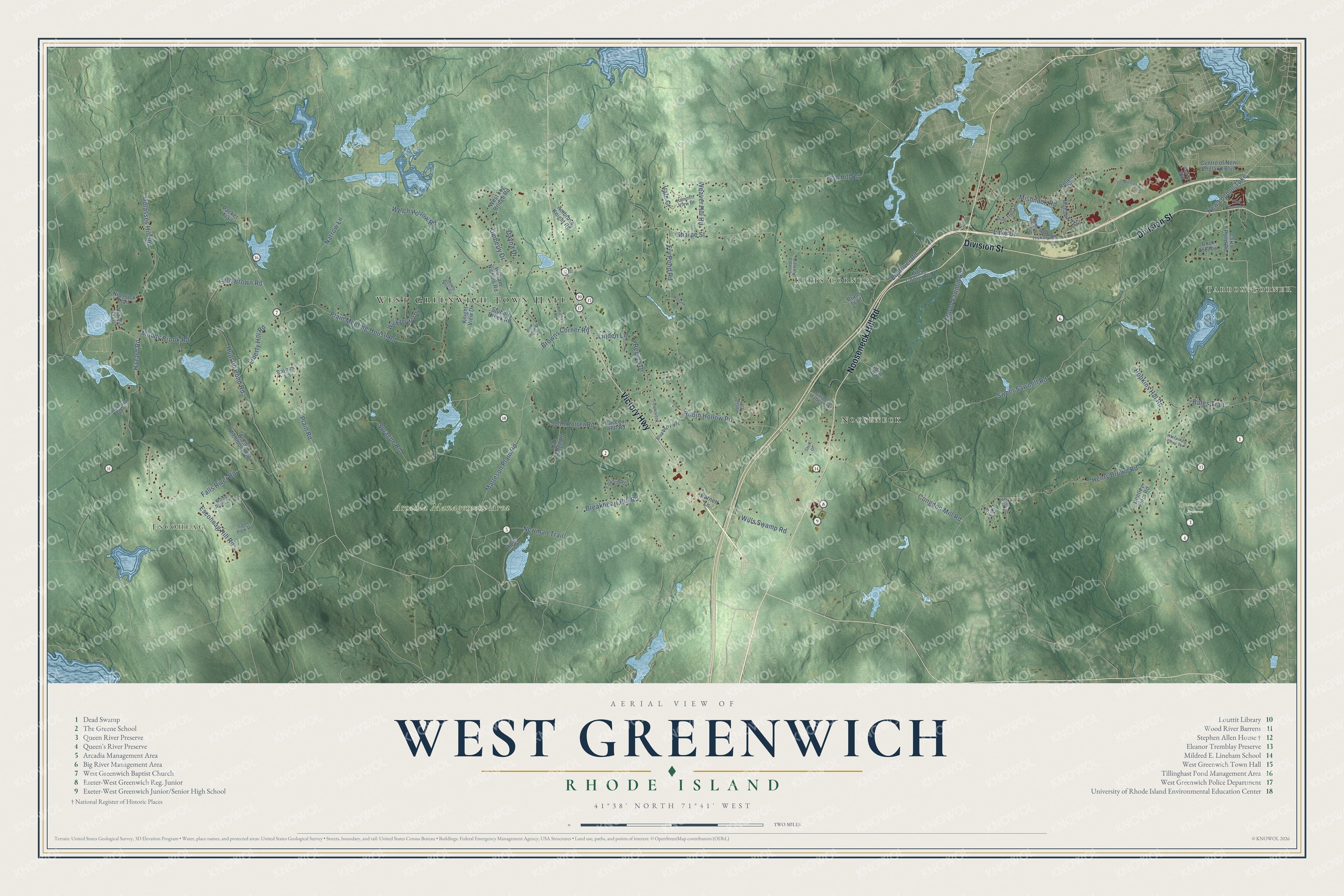
Click to explore a larger preview. The digital watermark does not appear on printed maps.
Street and place names on the West Greenwich, Rhode Island map
These names are printed on the map of West Greenwich, Rhode Island.
Places: West Greenwich Town Hall, Tarbox Corner, Escoheag, Arcadia Management Area, Queen River Preserve, Kitts Corner and Nooseneck.
Streets and roads: Victory Highway, Nooseneck Hill Road, Division Street, Plain Road, Weaver Hill Road, Escoheag Hill Road, New London Turnpike, Hopkins Hill Road, Plain Meeting House Road, Molasses Hill Road, Matteson Plain Road, Robin Hollow Road.
More street names, A to Z
Ambrose Knight Road, Arthur Richmond Road, Barnes Lane, Barnett Lane, Bates Trail, Bentley Farm Road, Big River Road, Blueberry Heights, Blue Ridge Drive, Brant Trail, Breakheart Hill Road, Browns Corner Road, Buck Hollow, Burnt Sawmill Road, Carrs Pond Road, Centre of New England Boulevard, Congdon Mill Road, Dayna Drive, Donald Potter Drive, Falls River Road, Fish Hill Road, Fox Run, Fry Pond Road, Gardner Matteson Lane, Hammitt View Drive, Hazard Road, Henry Brown Road, Hicks Trail, Hoxie Road, Hudson Pond Road, John Potter Road, Jonathan Road, Joslin Lane, Kimberly Drive, Kitts Corner Road, Knight View Drive, Lake Drive, Liberty Hill Road, Linden Lane, Maccue Point Road, Maguire Lane, Mishnock Road, Mohawk Trail, Muddy Brook Road, Narrow Lane, Newman Trail, Niantic Trail, Nipmuck Trail, Oak Ridge Road, Old Hickory Road, Orion View Drive, Packer Trail, Parkside Drive, Patriot Way, Pine Grove Lane, Pine Tree Lane, Raccoon Hill Road, Regina Drive, Roland Drive, Saddle Rock Road, Saint Park Road, Seth Brown Road, Sharpe Street, Sprague Road, Stark Drive, Stubble Brook Road, Sweet Sawmill Road, Tanglewood Drive, Technology Way, Vale Court, Voluntown Turnpike, Welch Hollow Road, West Log Bridge Road, Whispering Pines Terrace, Wickaboxet Drive, William Nichols Road, Wills Swamp Road, Wood River Lane.
This beautifully detailed map of West Greenwich makes an attractive addition to your office, library, or den, and it can even be used to teach children the geography and history of the area. It also makes a great gift for someone who left West Greenwich and still calls it home. When you’re done exploring, click here to get your copy of the West Greenwich map.