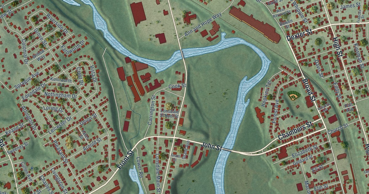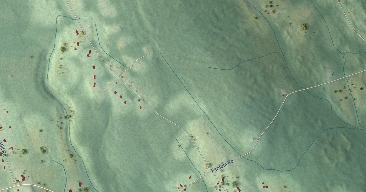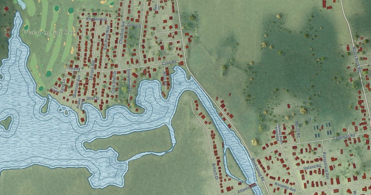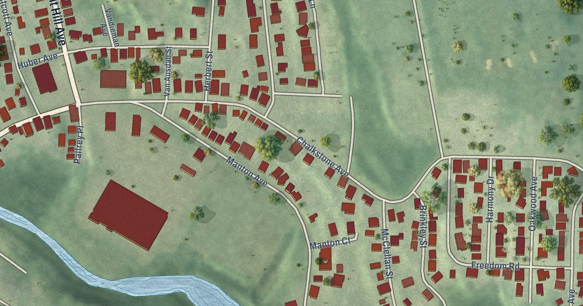
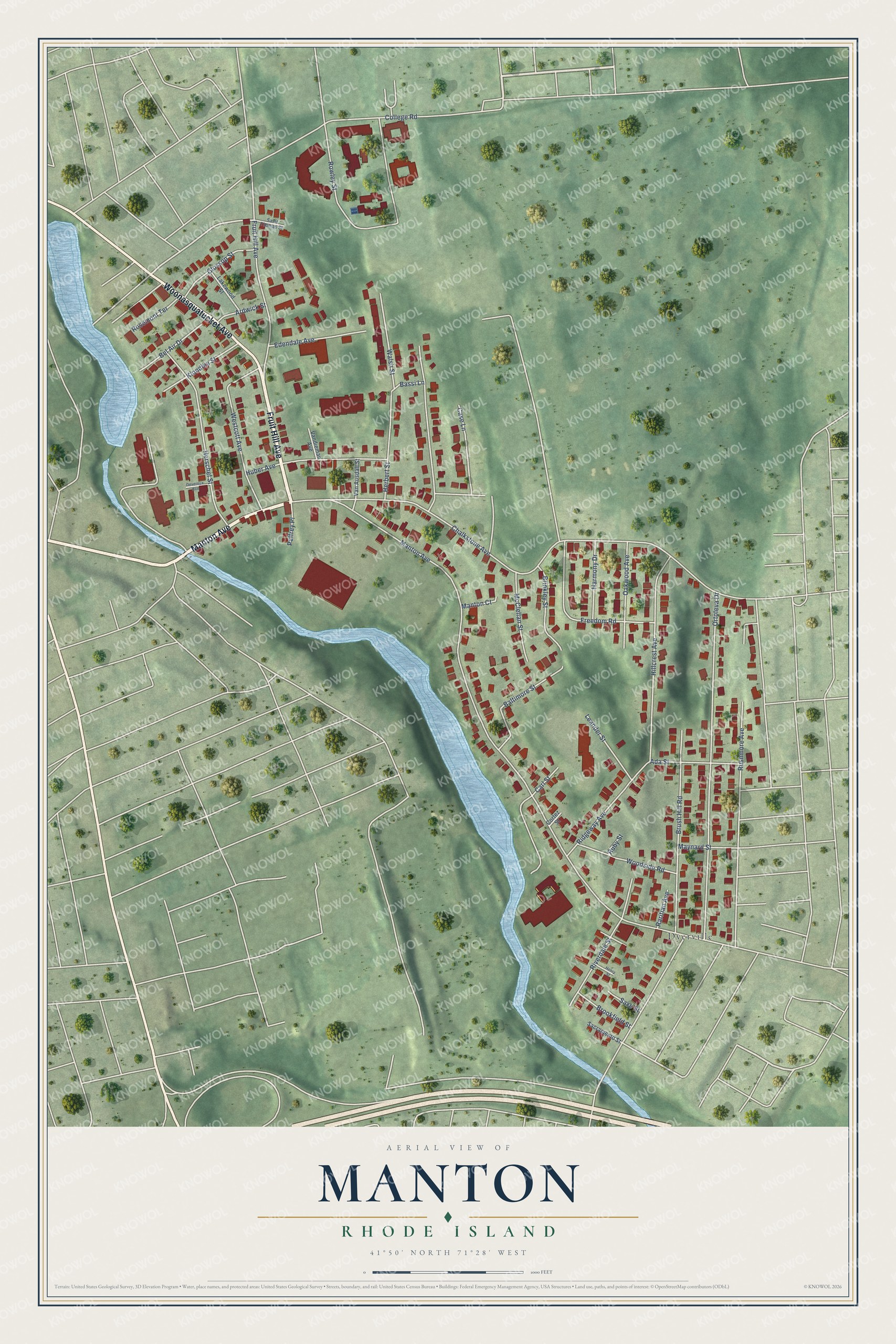
This beautifully detailed map of Manton, Rhode Island was created in 2026 using aerial imagery combined with modern topographical, census, street and landmark data. It’s a one-of-a-kind view of Manton that combines accurate data with a vintage aesthetic. The map shows every building in its true location, many of the roads carry their names, and the shaded topographic relief shows the shape of the land.
Explore an aerial view of Manton, Rhode Island
On the map you’ll find Dyerville, along with Manton Avenue, Fruit Hill Avenue, Woonasquatucket Avenue, Chalkstone Avenue, Rowley Street, Ortoleva Drive, Hillcrest Avenue, Brush Hill Road, Herschel Street, Westcott Avenue, Freedom Road, and more. If you look closely you can even find your house accurately drawn in its correct location. Zoom in on the preview to look for yours.
Did You Know?
The neighborhood takes its name from Edward Manton, one of its first landowners. His family later built up a huge tract of land here. Manton stayed rural farm country through the 1600s and 1700s. Its first two mills rose in 1827 and 1830, powered by the Woonasquatucket River.
Manton is a place in Providence County.
Take a closer look at the Manton map
Names on this map
These names are printed on this map.
Places: Dyerville.
Streets and roads: Manton Avenue, Fruit Hill Avenue, Woonasquatucket Avenue, Chalkstone Avenue, Rowley Street, Ortoleva Drive, Hillcrest Avenue, Brush Hill Road, Herschel Street, Westcott Avenue, Freedom Road, Riverdale Street.
More street names, A to Z
Ada Street, Ardwick Street, Baltimore Street, Bassi Lane, Bel Air Drive, Brinkley Street, Brookfield Street, Carl Street, Case Lane, College Road, Cortez Street, Devereux Avenue, Edendale Avenue, Glossop Street, Harmony Drive, Henry Street, Herbert Street, Huber Avenue, Klondike Street, Lakewood Street, Leander Street, Manton Court, Maynard Street, McClellan Street, Oakwood Avenue, Palfrey Place, Raritian Avenue, Ridgeway Avenue, Rosemont Terrace, Ruby Street, Rushmore Avenue, Sacramento Street, Saint Thomas Street, Saxe Street, Van Ausdall Street, Vandieman Avenue, Walsh Street, Woodside Road.
See it on a wall
The Manton map as a framed print. Swipe for more.


This beautifully detailed map of Manton makes an attractive addition to your office, library, or den, and it can even be used to teach children the geography and history of the area. It also makes a great gift for anyone with Manton roots. When you’re done exploring, click here to get your copy of the Manton map.