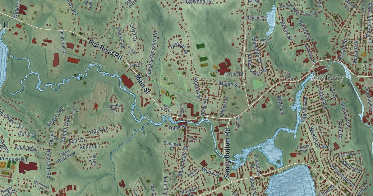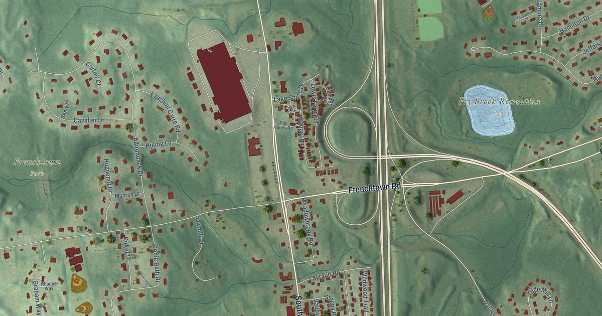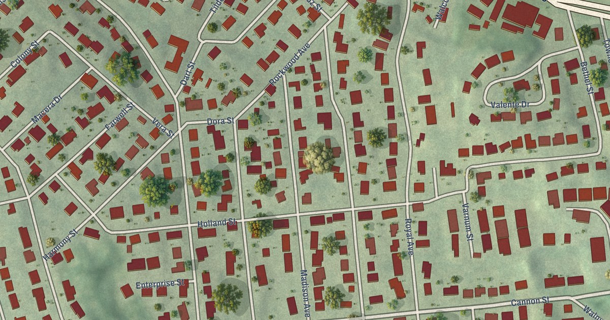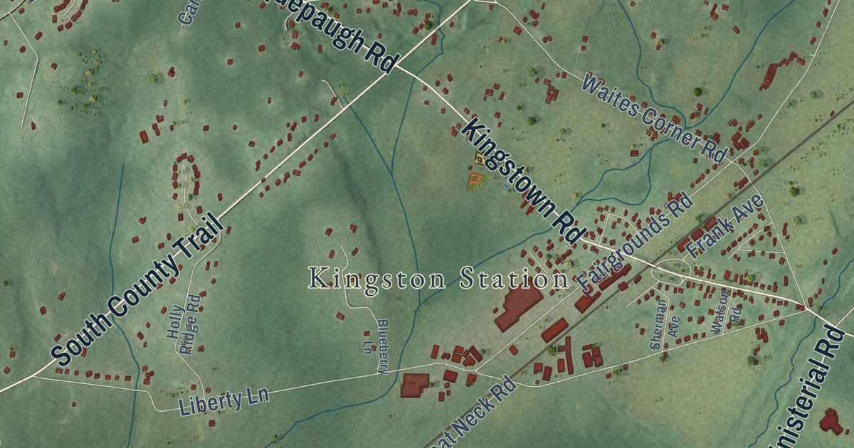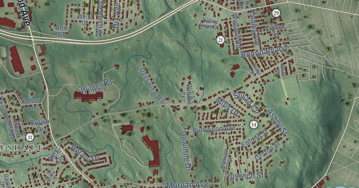
This beautifully detailed map of Johnston, Rhode Island was created in 2026 using aerial imagery combined with modern topographical, census, street and landmark data. It’s a one-of-a-kind view of Johnston that combines accurate data with a vintage aesthetic. The map shows every building in its true location, many of the roads carry their names, and the shaded topographic relief shows the shape of the land.
See the Johnston, Rhode Island map on a wall
The Johnston map as an 18 x 24 inch print in a black frame.

Explore an aerial view of Johnston, Rhode Island
On the map you’ll find Johnston Town Hall, Highland Memorial Park, Bishop Heights, Simmonsville, Fountain Spring, and Hughesdale, along with Atwood Avenue, Greenville Avenue, Hartford Avenue, Killingly Street, Plainfield Pike, George Waterman Road, and more. If you look closely you can even find your house accurately drawn in its correct location. Zoom in on the preview to look for yours.
Did you know this piece of Johnston, Rhode Island history?
Johnston split off from Providence and became a town in 1759. It took its name from Augustus Johnston, the colonial attorney general. The honor soured fast. Stamp Act protesters burned him in effigy in 1765. He fled Rhode Island as a Tory in 1779, during the Revolution.
Take a closer look at the Johnston map
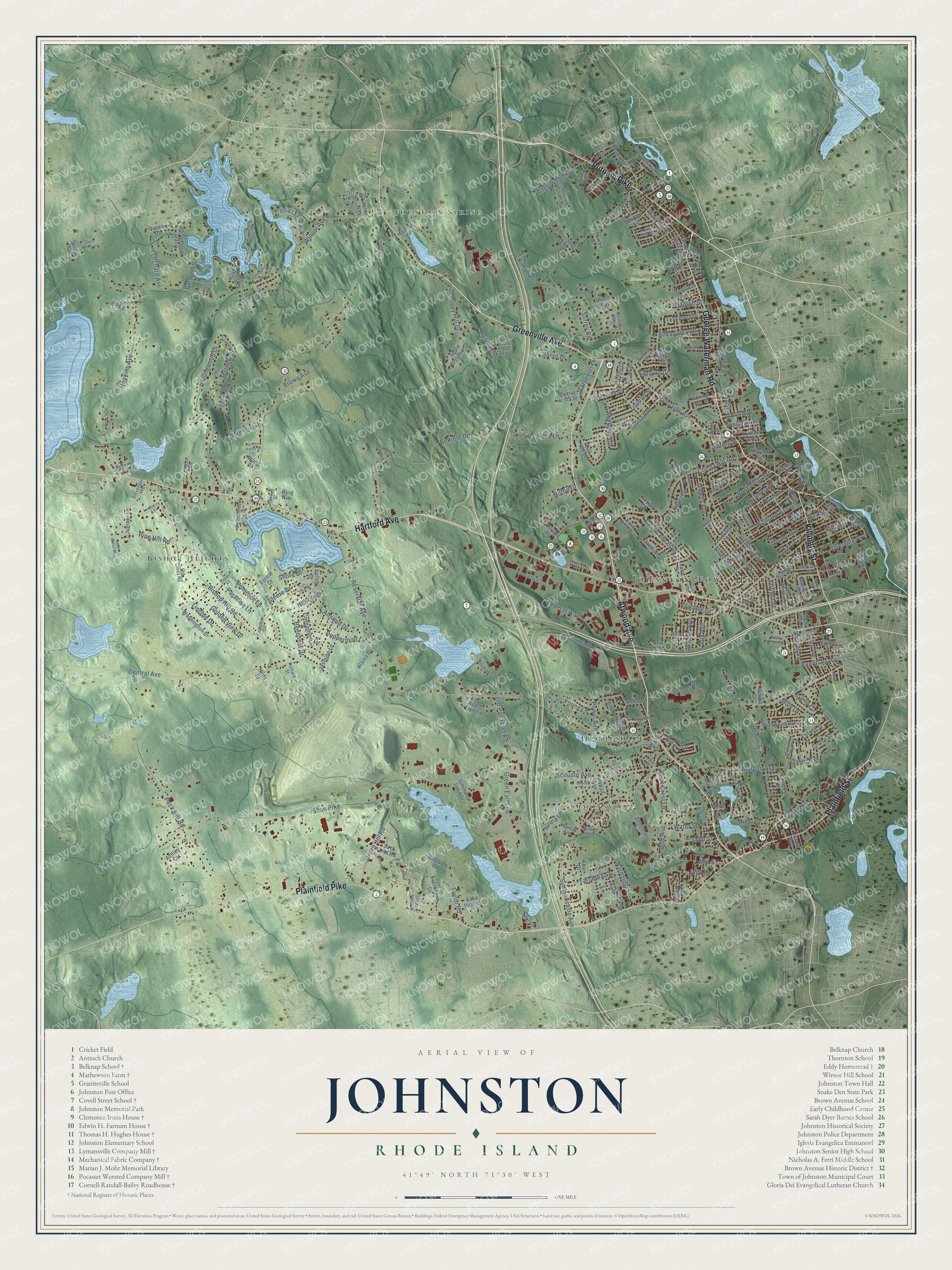
Click to explore a larger preview. The digital watermark does not appear on printed maps.
Street and place names on the Johnston, Rhode Island map
These names are printed on the map of Johnston, Rhode Island.
Places: Johnston Town Hall, Highland Memorial Park, Bishop Heights, Simmonsville, Fountain Spring and Hughesdale.
Streets and roads: Atwood Avenue, Greenville Avenue, Hartford Avenue, Killingly Street, Plainfield Pike, George Waterman Road, Plainfield Street, Putnam Pike, Central Avenue, Shun Pike, Brown Avenue, Winsor Avenue.
More street names, A to Z
Abatecola Way, Acre Drive, Aetna Way, Alaina Drive, Alcar Drive, Alden Street, Allendale Avenue, Almond Drive, Almy Street, Alvina Drive, Angelico Street, Angell Avenue, Anglewood Avenue, Ann Drive, Apple Blossom Drive, Apple Tree Lane, Argonne Street, Ashby Street, Ashley Court, Atwells Avenue, Audubon Street, Baldwin Drive, Barbato Drive, Barden Lane, Barone Drive, Beacon Street, Becker Avenue, Beechnut Drive, Belaire Drive, Belfield Drive, Bell Drive, Belmont Avenue, Bigelow Road, Birchtree Drive, Bishop Hill Road, Blueberry Lane, Borden Avenue, Boundary Avenue, Bowen Street, Brenda Drive, Bridle Way, Brown Drive, Buck Hill Road, Buena Vista Street, Burnett Street, Burrati Road, Byrd Avenue, Cady Street, Calumet Avenue, Camelot Circle, Candice Court, Capitol Street, Capri Drive, Carl Street, Carpenter Drive, Carriage Way, Cavalcade Boulevard, Cedar Grove Court, Charlies Way, Cherry Hill Road, Cinnamon Drive, Colwell Drive, Contillo Drive, Countryside Drive, Crystal Court, Dante Avenue, Day Street, Dean Avenue, Deer Run Trail, Deer View Road, Diaz Street, Di Ponte Drive, Dix Avenue, Downing Drive, Dyerville Avenue, Eagle Street, Echart Lane, Edna Street, Elizabeth Ann Drive, Elks Drive, Elmdale Avenue, Elmgrove Avenue, Emerald Lane, Enfield Street, Everbloom Drive, Fairmount Avenue, Falcon Crest Drive, Federal Way, Finne Road, Forest Drive, Forest Hill Drive, Foxtail Drive, Gano Avenue, Gina Drive, Golden View Drive, Goldsmith Street, Golini Drive, Green Earth Lane, Green Hill Road, Groton Street, Harding Avenue, Harrilla Lane, Harris Avenue, Harrison Street, Hawkes Street, Hedley Avenue, Heywood Lane, Highland Avenue, Hilda Street, Hillside Avenue, Hilltop Drive, Hilton Drive, Hopkins Avenue, Indian Valley Drive, Industrial Lane, Ipswich Street, Irons Avenue, Ivanhoe Street, Janet Drive, Jasmine Lane, John Street, Juniper Lane, Kern Acre Drive, Killian Road, Kimball Avenue, King Philip Street, King Street, La Fazia Drive, Lake Shore Drive, Lakeside Drive, Lake View Court, Leading Street, Lee Street, Lewis Drive, Ligian Court, Lincoln Drive, Linda Circle, Lyman Avenue, Maple Avenue, Maria Circle, Maribeth Drive, Mathew Drive, Memorial Avenue, Meriline Street, Mills Drive, Mill Street, Milnerfield Road, Milton Street, Mohr Street, Monson Street, Morgan Avenue, Morgan Mill Road, Morton Avenue, Mulberry Circle, Nardolillo Street, Newman Avenue, Niverville Street, North Williams Street, Oak Hill Drive, Oak Tree Drive, Old Cross Road, Old Pocasset Road, Orchard Avenue, Ostend Street, Paolino Street, Paradise Lane, Parasol Court, Parkside Drive, Park Street, Paula Road, Peck Hill Road, Peppermint Lane, Pico Circle, Pine Hill Avenue, Pine Hill Road, Pine Lane, Pinewood Avenue, Poppy Hill Drive, Power Avenue, Primrose Lane, Quaker Road, Railroad Avenue, Randall Avenue, Ray Street, Reservoir Avenue, Rice Street, Richard Street, River Drive, Riverside Avenue, Rock Crest Lane, Roger Road, Roger Williams Drive, Rollingwood Drive, Rose Hill Drive, Rosemont Avenue, Rotary Drive, Ruffstone Road, Sage Court, Salina Avenue, Santa Circle, Saran Drive, Scenery Lane, School Street, Scituate Avenue, Serrel Sweet Road, Setian Circle, Seville Street, Shari Drive, Sheridan Street, Shore Drive, Simmons Lake Drive, Simmonsville Avenue, South Long Street, Sprague Circle, Spring Drive, Spring Hill Drive, Spring Street, Starline Way, Starr Street, Steere Avenue, Steere Drive, Stevenson Avenue, Stonehill Drive, Sunnyside Avenue, Surrey Road, Susan Avenue, Susan Circle, Swan Street, Sweet Hill Drive, Tara Street, Tartaglia Street, Taylor Road, Teaberry Lane, Teakwood Drive, Tevere Drive, Truman Street, Valley View Drive, Venice Avenue, Victor Avenue, Vincent Drive, Violet Street, Washington Drive, Waterman Avenue, Water Street, West Scenic View Drive, White Drive, Wilcomb Road, Wilder Road, Wilson Avenue, Winfield Road, Winika Court, Winsor Lane, Wood Drive, Woodlake Drive, Woodvale Drive, Young Lane.
This beautifully detailed map of Johnston makes an attractive addition to your office, library, or den, and it can even be used to teach children the geography and history of the area. It also makes a great gift for anyone who grew up in Johnston or moved away. When you’re done exploring, click here to get your copy of the Johnston map.