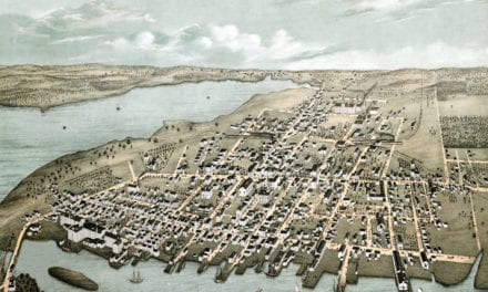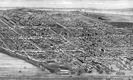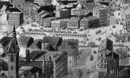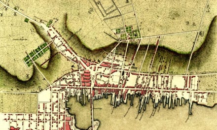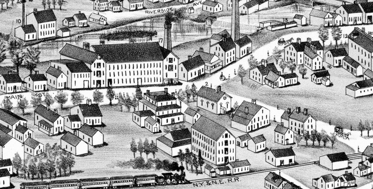
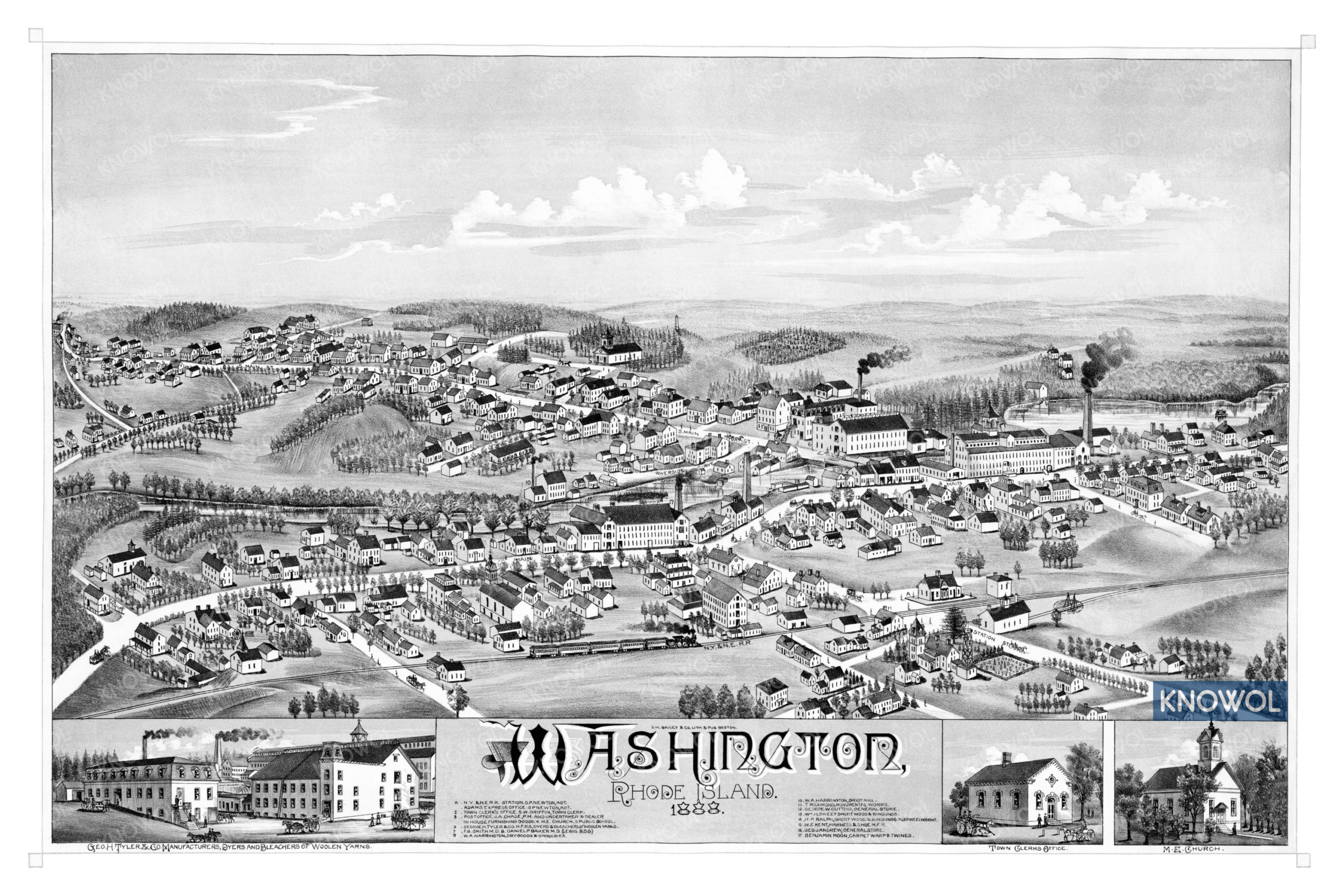
This historic map of Washington Village in Coventry, Rhode Island was created in 1888 by O.H. Bailey, a prominent 19th century map maker. The map shows a bird’s eye view of the village as it looked, including street names and old landmarks.
Landmarks on the map include the New York & New England Railroad Station, Adams Express Office, Harrington Dry Goods & Groceries, Andrew’s General Store, Benjamin Moon’s Carpet & Twines, Sweet’s Short Woods & Kindling, and more.
This historic map of Washington has been restored by KNOWOL. Reproductions of the restored map are available here.
Historic Old Map of Washington Village, RI from 1888
This vintage map of Washington makes an attractive addition to your office, library, or den, and can even be used to teach children the geography and history of the area. When you’re done exploring, click here to get your copy of the restored map.