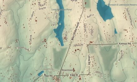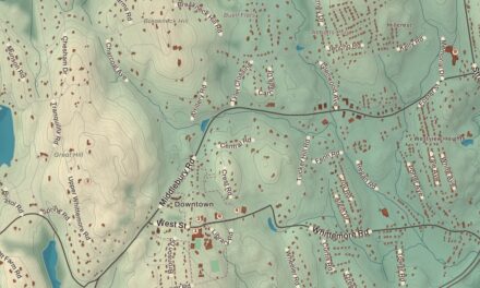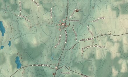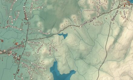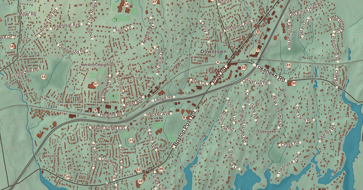
If you grew up in Darien, or you’ve ever spent a June afternoon at Weed Beach, you’ll find your town on this map just as it stands in 2026. Look for your road. Stephen Mather Road, Mansfield Avenue, Hollow Tree Ridge Road, Hoyt Street, the Boston Post Road, Old Kings Highway North, Noroton Avenue, Tokeneke Road, Goodwives River Road, Pear Tree Point Road, Ring’s End Road, Middlesex Road, Stony Brook Road and Brookside Road are all printed by name, along with many more.
Darien is in Fairfield County, on Long Island Sound between Stamford and Norwalk.
KNOWOL made this map in 2026 from public survey data, and gave it the look of an old atlas. The shaded hills, from the ridges in the north down to the Goodwives River and Pear Tree Point Cove, come from United States Geological Survey elevation data, and the streets and the town line come from the Census Bureau. Noroton, Noroton Heights and Tokeneke are printed by name, along with the Woodway and Wee Burn country clubs. A guide of 34 numbered landmarks runs along the bottom, with the National Register sites marked, and we checked those against National Park Service records.
Middlesex Parish
The Siwanoy, a band of the Wappinger, lived here before the English came. Until 1820 this land was part of Stamford. Settlers gathered first in three places: around Noroton Cove, now Holly Pond, in the 1680s; at Gorham’s Landing on the Goodwives River; and at the head of the Five Mile River, on today’s Norwalk line. In the late 1730s hard winters made the trip to church in Stamford dangerous, so families here formed a parish of their own, Middlesex Parish. Its church held its first meeting on June 15, 1739, and the Reverend Moses Mather served it until his death in 1806, a career of 64 years.
Middlesex Parish became the Town of Darien in 1820, the year on the title panel: Incorporated 1820. The neighbors couldn’t agree on a name, and some families wanted the town named for themselves. In the end a sailor who had traveled to the Isthmus of Darien, in what’s now Panama, suggested Darien, and the town took it. Click here to learn more about the history of Darien.
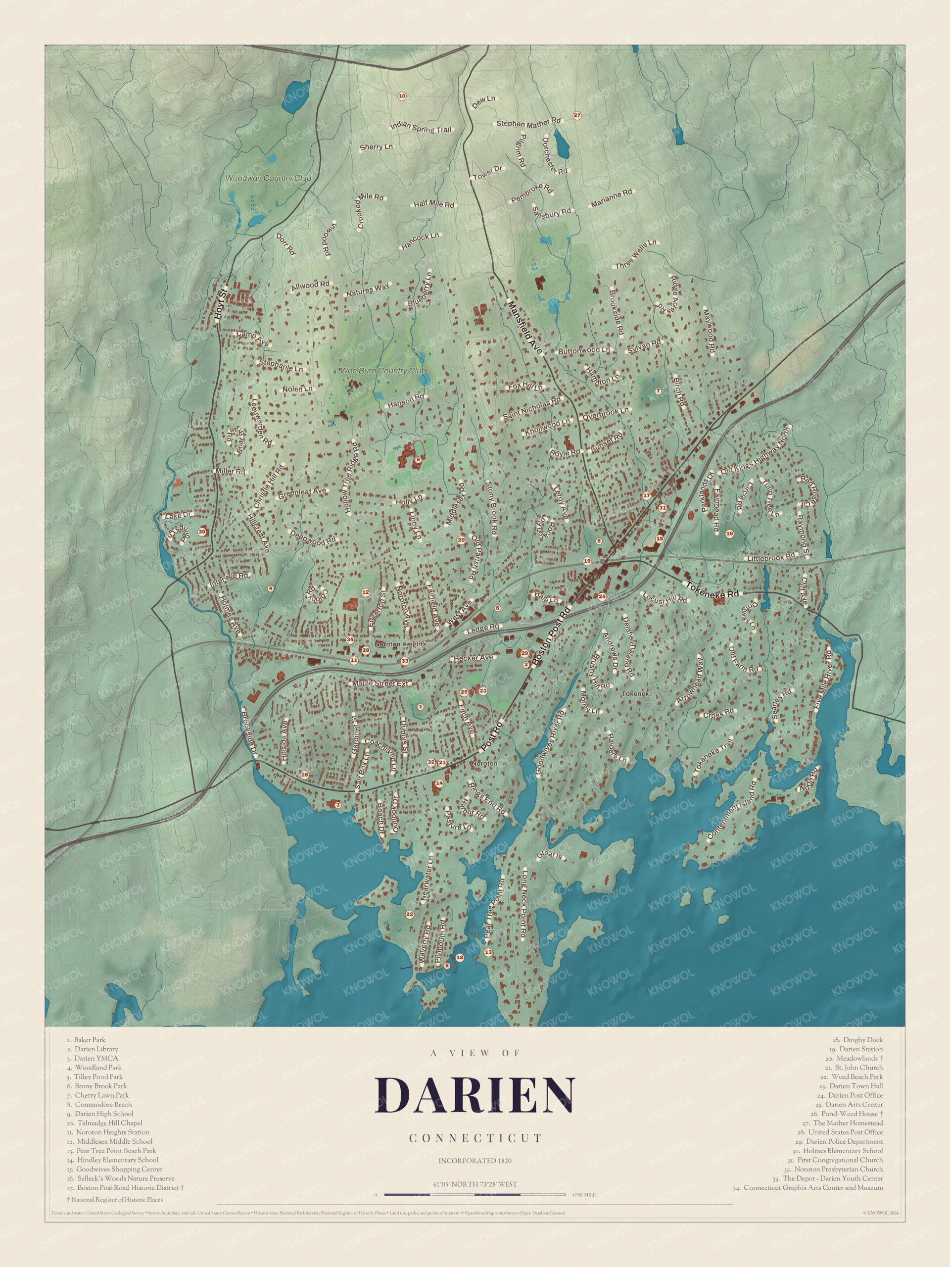
Click to explore a larger preview. The digital watermark does not appear on printed maps.
Names on this map
These names are printed on this map.
Places: Noroton Heights, Tokeneke, Baker Park, Boston Post Road Historic District, Cherry Lawn Park, Commodore Beach, Connecticut Graphis Arts Center and Museum, Darien Arts Center, Darien High School, Darien Library, Darien Post Office, Darien YMCA, Dinghy Dock, First Congregational Church, Fivemile River, Goodwives Shopping Center, Hindley Elementary School, Holmes Elementary School, Middlesex Middle School, Noroton Presbyterian Church, Pear Tree Point Beach Park, Pond-Weed House, Selleck's Woods Nature Preserve, Stony Brook Park, Talmadge Hill Chapel, The Depot - Darien Youth Center, The Mather Homestead, Tilley Pond Park, United States Post Office, Wee Burn Country Club, Weed Beach Park, Woodland Park and Woodway Country Club.
Streets and roads: Sherry Ln, Nolen Ln, Hanson Rd, Berry Ln, Miller Rd, Buttonwood Ln, Royle Rd, Hill Rd, Hecker Ave, Post Rd, River Rd, Parklands Dr.
More street names, A to Z
Dubois St, Fairmead Rd, Five Mile River Rd, Nearwater Ln, Point Rd, Waverly Rd.
The Post Road
The Boston Post Road runs through the middle of the map. Near the start of the Revolution, George Washington and 19,000 soldiers marched from Boston to New York through Middlesex Parish on the old Country Road, part of which is now Old Kings Highway. The guide marks the center of town along the Post Road as the Boston Post Road Historic District (17), listed on the National Register of Historic Places in 1982. It takes in 23 historic properties on about 17 acres, with houses from 1800 to the 1920s.
The First Congregational Church (31) stands at Brookside Road and the Post Road, on the site of the parish’s first meetinghouse. The present Greek Revival church was built in 1837. Darien Town Hall (23) is at the other end of the district. It was built in 1910 as a school and became the town hall in 1949. The Bates-Scofield House, from 1736, where the meeting that organized the parish was held, is just east of the church.
The Darien Library (2) was founded in 1894, and in 2012 it was the most heavily used library in Connecticut. The Darien Arts Center (25), the Darien Police Department (29), Darien Station (19), the Darien Post Office (24) and the United States Post Office (28) are close by. The railroad reached Darien in 1848, and before that the town was a quiet place of about 1,000 farmers, shoemakers, fishermen and coastal traders.
Noroton and the Oldest House
Noroton is printed by name in the west, near the Stamford line. The Pond-Weed House (26) is there, at the corner of the old Post Road and Hollow Tree Ridge Road, and it’s thought to be the oldest building in Darien. Nathaniel Pond, a blacksmith from Branford, bought the land in 1696, and in 1716 he sold the house to Nathaniel Weed, another blacksmith. The Weed family kept it until 1926. In the 1700s it was a tavern called the Half-Way House, because it stood halfway between Stamford and Norwalk on the Post Road.
Across the Post Road from the old Union Chapel grounds, the Noroton Presbyterian Church (32) was organized in 1863, and St. John Church (21) was founded next door to that site in 1888 by Irish Catholics. Hindley Elementary School (14) stands across from the spot where Noroton’s school district was set up in 1703. Noroton Heights, printed by name farther north, has Noroton Heights Station (11) and The Depot, the Darien Youth Center (33), and the Darien YMCA (3) is near Holly Pond, where a small shipyard was founded in the early days.
Meadowlands and the Mather Homestead
Meadowlands (20), at 274 Middlesex Road, began as the 1876 Victorian home of Frank Green, a New York grocer, on a farm with cattle, chickens and fruit trees. In the 1930s it was remade as a Georgian Revival house, with gardens by Ellen Biddle Shipman, one of the leading landscape architects of her day. Since 1950 it’s been the home of the Darien Community Association.
The Mather Homestead (27), on Stephen Mather Road, was built in 1778 by Deacon Joseph Moses Mather, the minister’s son. His great grandson, Stephen Tyng Mather, called it his true home. Stephen Mather campaigned for the creation of the National Park Service in 1916 and became its first director, and he’s buried in the family cemetery there. The house is a National Historic Landmark.
Beaches, Parks and Schools
Darien’s shore is home to Weed Beach Park (22), where the town holds Weed Beach Fest every June, and Pear Tree Point Beach Park (13). Commodore Beach (8) and the Dinghy Dock (18) are in the guide too. Inland are Baker Park (1), Woodland Park (4), Tilley Pond Park (5), Stony Brook Park (6), Cherry Lawn Park (7) and Selleck’s Woods Nature Preserve (16).
Darien High School (9) was ranked the best high school in Connecticut by U.S. News in 2019. Middlesex Middle School (12) and Holmes Elementary School (30) are in the north and west of town. The guide also lists Talmadge Hill Chapel (10), the Goodwives Shopping Center (15) and the Connecticut Graphis Arts Center and Museum (34).
This map of Darien makes a handsome addition to a living room, office, library or den, and it can even help teach children the geography and history of the town. It’s a thoughtful gift for anyone who calls Darien home, grew up here, or moved away. Created by KNOWOL in 2026, it’s printed on museum quality archival paper in three sizes. Zoom in on the preview above to explore the details, then click here to get your copy of the Darien map.

Sources