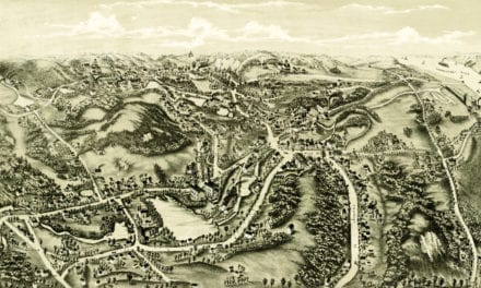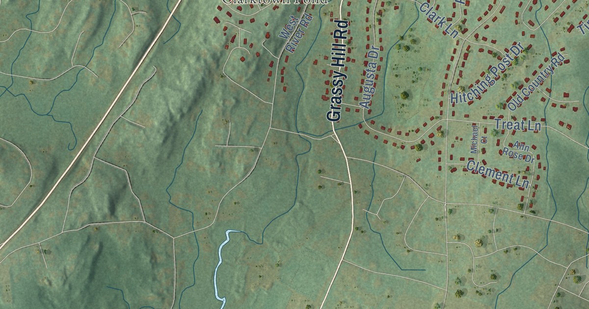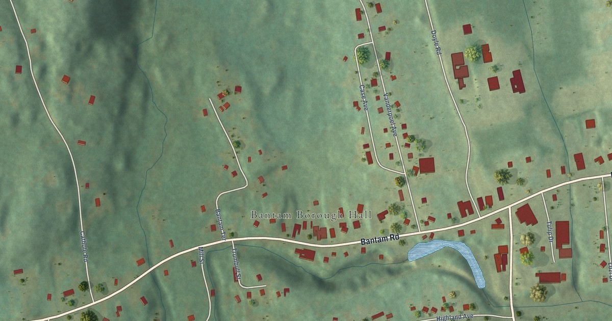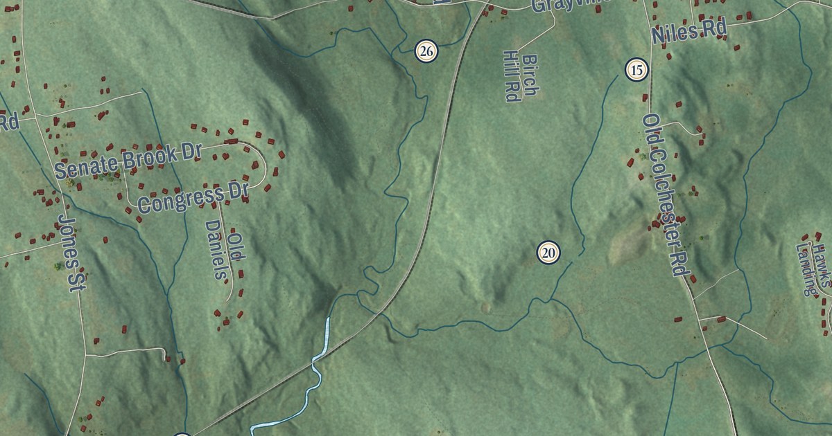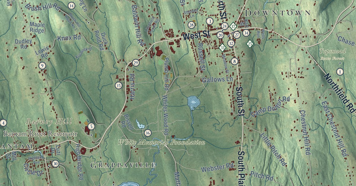
This beautifully detailed map of Litchfield, Connecticut was created in 2026 using aerial imagery combined with modern topographical, census, street and landmark data. It’s a one-of-a-kind view of Litchfield that combines accurate data with a vintage aesthetic. The map shows every building in its true location, many of the roads carry their names, and the shaded topographic relief shows the shape of the land.
See it on a wall
The Litchfield map as an 18 x 24 inch print in a black frame.

Explore an aerial view of Litchfield, Connecticut
On the map you’ll find Downtown, Northfield, Apple Hill, Barney Hill, Besse Hill, Camp Hill, Bantam Lake, Bantam River Reservoir, Mattatuck State Forest, Topsmead State Forest, White Memorial Foundation, Milton, and more. If you look closely you can even find your house accurately drawn in its correct location. Zoom in on the preview to look for yours. Click here to learn more about the history of Litchfield.
Take a closer look at the Litchfield map
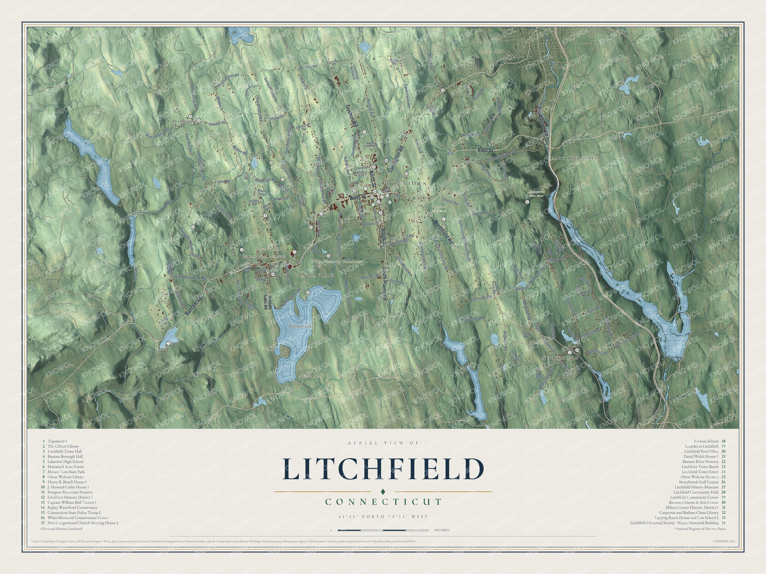
Click to explore a larger preview. The digital watermark does not appear on printed maps.
Names on this map
These names are printed on this map.
Places: Downtown, Northfield, Apple Hill, Barney Hill, Besse Hill, Camp Hill, Bantam Lake, Bantam River Reservoir, Mattatuck State Forest, Topsmead State Forest, White Memorial Foundation, Milton, East Litchfield, Grappaville and Bantam.
Streets and roads: Bantam Road, East Street, Torrington Road, South Street, South Plains Road, West Street, North Street, Thomaston Road, Goshen Road, Northfield Road, Mattatuck Trail, Norfolk Road.
More street names, A to Z
Andre Drive, Avalon Lane, Baldwin Hill Road, Bantam Lake Road, Beach Street, Bertoli Drive, Bigos Road, Bissell Road, Blakeslee Road, Blue Swamp Road, Brook Hill Road, Brooks Road, Brush Hill Road, Brush Hill Road No 1, Buell Road, Buell Road South, Butternut Road, Camp Dutton Road, Camphill Road, Campville Road, Carriage Lane, Cathole Road, Chase Road, Chestnut Hill Road, Circle Drive, Clark Road, Cross Road, Deming Road, Duck Pond Road, Dudley Road, Dugway Road, East Chestnut Hill Road, East Litchfield Road, Ethan Allen Road, Fenn Road, Fern Avenue, Fox Crossing Lane, Gallows Lane, Goodhouse Road, Goslee Road, Haas Road, Harris Road, Hart Drive, Headquarters Road, Hemlock Hill Road, Hidden Pond Lane, High Bridge Road, Highland Avenue, Hopkins Road, Howe Road, Hutchinson Parkway, Jefferson Hill Road South, Karl Street, Kilravock Drive, Knox Road, Lewis Road, Litchfield Hollow Drive, Litchfield Ponds Road, Little Pitch Road, Litwin Road, Lutz Drive, Luzi Drive, Maple Ridge, Maple Street, Marsh Road, Mason Hill Road, McBride Road, Meadow Street, Mike Road, Mill Street, Milton Road, Moosehorn Road, Naser Road, Newton Road, North Lake Street, North Shore Road, Old Farm Road, Old Forge Hollow Road, Old Highway, Old Mount Tom Road, Old Newton Road, Old Northfield Road, Old Smith Road, Osborn Road, Perkins Road, Pitch Road, Plumb Hill Road, Potash Road, Prospect Mountain Road, Prospect Street, Reder Road, Remsen Road, Richards Road, Richards Road Extended, Russell Street, Sarcka Lane, Saw Mill Road, Scenic View Drive, School House Road, Sears Drive, Seherr Thoss Drive, Shear Shop Road, Sheldon Lane, Smith Road, Stoddard Road, Talmadge Lane, Town Farm Road, Un Drway, Valley Road, Webster Road, Wells Run, West Morris Road, Wheeler Road, Whiskers Lane, White Road, Whites Wood Road, Wigwam Road, Wilson Road, Windsong Drive.
This beautifully detailed map of Litchfield makes an attractive addition to your office, library, or den, and it can even be used to teach children the geography and history of the area. It also makes a great gift for someone who left Litchfield and still calls it home. When you’re done exploring, click here to get your copy of the Litchfield map.