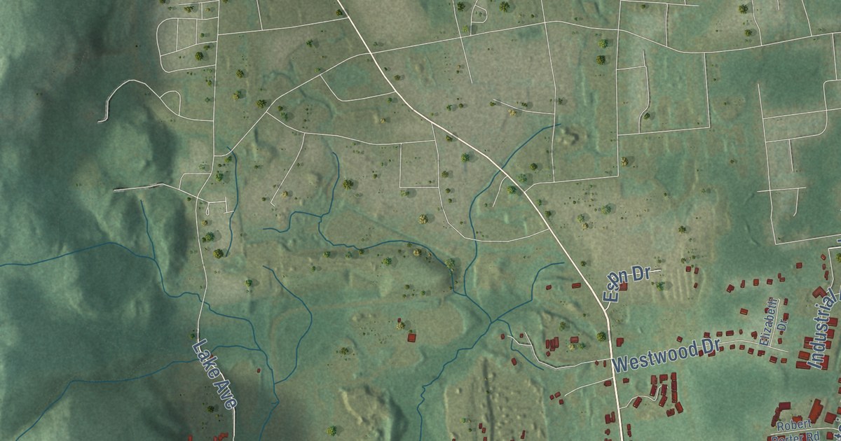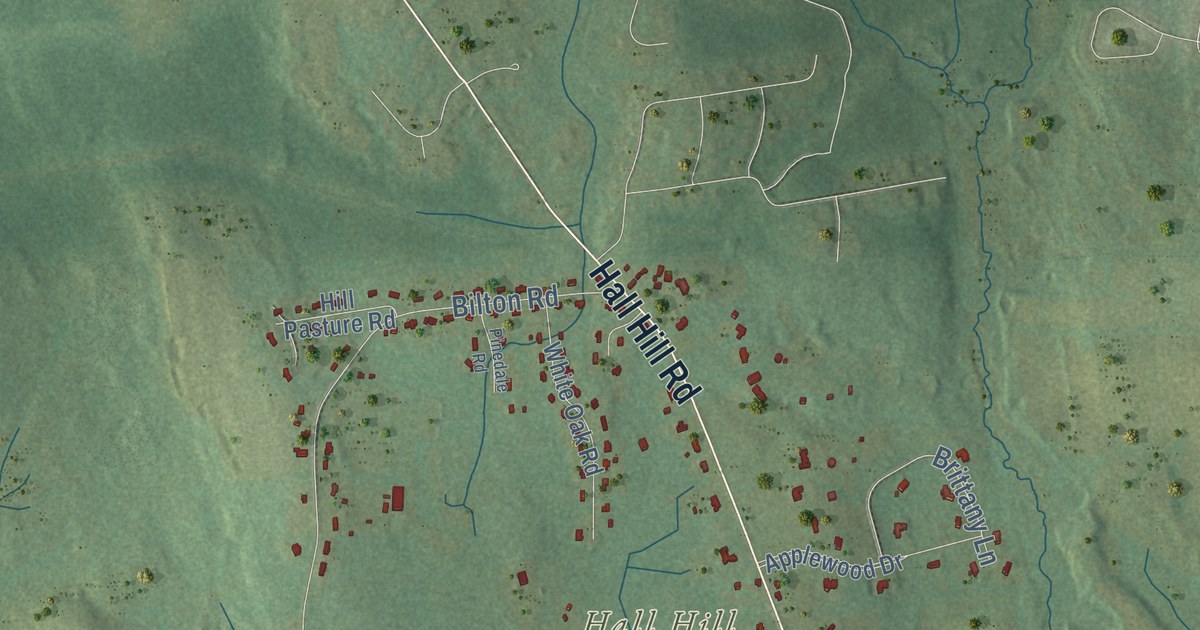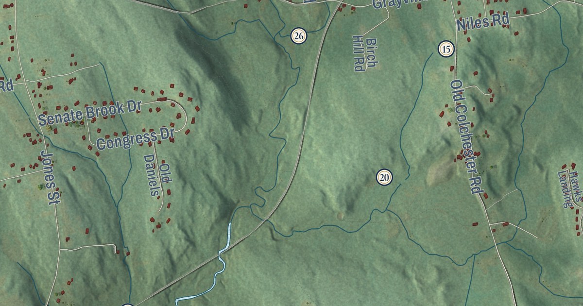
This beautifully detailed map of Hebron, Connecticut was created in 2026 using aerial imagery combined with modern topographical, census, street and landmark data. It’s a one-of-a-kind view of Hebron that combines accurate data with a vintage aesthetic. The map shows every building in its true location, many of the roads carry their names, and the shaded topographic relief shows the shape of the land.
See it on a wall
The Hebron map as an 18 x 24 inch print in a black frame.

Explore an aerial view of Hebron, Connecticut
On the map you’ll find Downtown, Amston, Hope Valley, Gilead, Burnt Hill, Burrows Hill, Chalker Hill, Frankel Hill, Andover Lake, Clubhouse Pond, Gay City State Park, Meshomasic State Forest, and more. If you look closely you can even find your house accurately drawn in its correct location. Zoom in on the preview to look for yours. Click here to learn more about the history of Hebron.
Take a closer look at the Hebron map
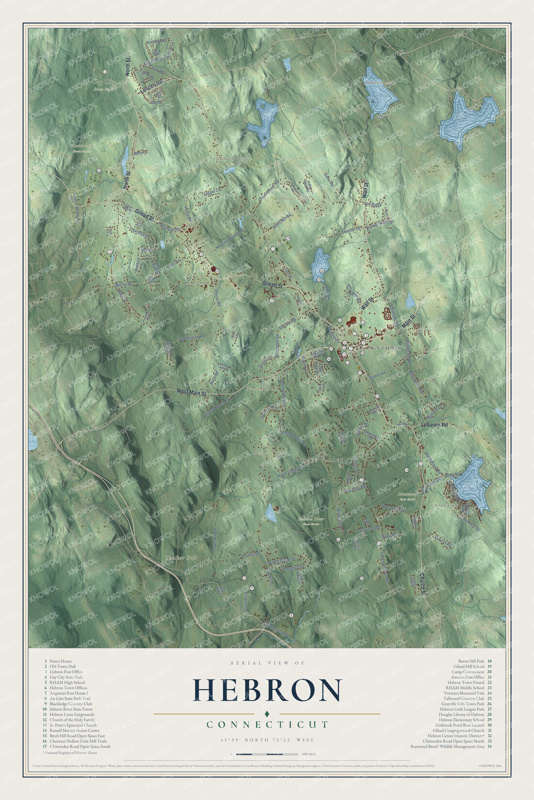
Click to explore a larger preview. The digital watermark does not appear on printed maps.
Names on this map
These names are printed on this map.
Places: Downtown, Amston, Hope Valley, Gilead, Burnt Hill, Burrows Hill, Chalker Hill, Frankel Hill, Andover Lake, Clubhouse Pond, Gay City State Park, Meshomasic State Forest, Mussman Open Space and Salmon River State Forest.
Streets and roads: Gilead Street, West Main Street, Main Street, Church Street, North Street, Wall Street, London Road, Lebanon Road, Deepwood Drive, Paper Mill Road, Martin Road, Old Hartford Road.
More street names, A to Z
Abby Drive, Alice Lane, Ames Road, Attawanhood Trail, Basket Shop Road, Bass Lake Road, Birch Hill Road, Blackman Road, Bluebird Lane, Brennan Road, Brian Drive, Brighton Road, Buck Road, Burnt Hill Road, Burrows Hill Road, Cannon Drive, Carriage Drive, Carver Lane, Cedar Ridge Drive, Charles Lane, Chestnut Hill Road, Chittenden Road, Coates Farm Road, Cone Road, Congress Drive, Country Lane, Crouch Road, Daly Road, East Street, Elizabeth Drive, Foote Lane, Forest View Drive, Fox Ridge, Golf Lane, Grayville Road, Hall Road, Hardy Road, Hawks Landing, Heron Hill Road, Hickory Drive, Highland Drive, Hillcrest Drive, Hills Lane, Hoadly Road, Holbrook Pond Road, Hope Valley Road, Indian Field Road, Jagger Lane, Jan Drive, Jennifer Drive, Joel Drive, Jones Street, Kinney Road, Knollwood Drive, Kristem Lane, Lake Road, Laura Drive, Loveland Road, Mai Road, Majorie Circle, Meeting House Road, Mill Stream Road, Millstream Road, Murphy Road, Niles Road, Northam Road, North Pond Road, Oak Drive, Old Andover Road, Old Colchester Road, Old Daniels, Olde Hall Road, Old Route 2, Old Slocum Road, Porter Road, Prentice Hill Road, Reed Road, Reidy Hill Road, Ridge Road, Salt Box Road, Sawmill Way, Scarboro Road, School House Road, Senate Brook Drive, Sentinal Woods, Settlement Road, Silverwoods Farm, Skinner Lane, Slocum Road, Smith Farm Road, Stone House Road, Uncas Drive, Webster Lane, West Branch Drive, West Street.
This beautifully detailed map of Hebron makes an attractive addition to your office, library, or den, and it can even be used to teach children the geography and history of the area. It also makes a great gift for anyone with Hebron roots. When you’re done exploring, click here to get your copy of the Hebron map.