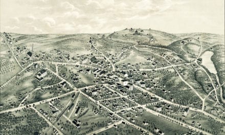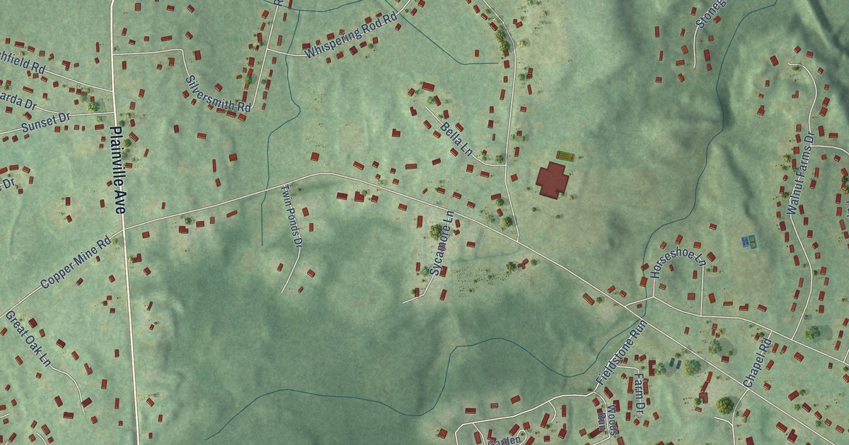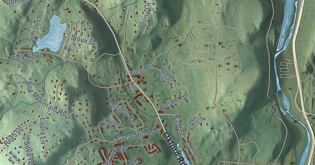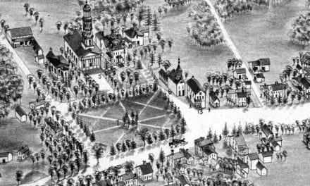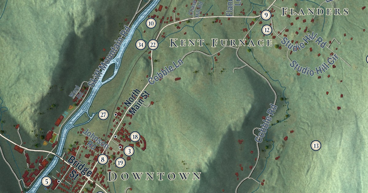
This beautifully detailed map of Kent, Connecticut was created in 2026 using aerial imagery combined with modern topographical, census, street and landmark data. It’s a one-of-a-kind view of Kent that combines accurate data with a vintage aesthetic. The map shows every building in its true location, many of the roads carry their names, and the shaded topographic relief shows the shape of the land.
See it on a wall
The Kent map as an 18 x 24 inch print in a black frame.

Explore an aerial view of Kent, Connecticut
On the map you’ll find Downtown, Bulls Bridge, South Kent, North Kent, East Kent, Macedonia, Bald Hill, Birch Hill, Bromica Mountain, Bull Mountain, Beaman Pond, Blatz Pond, and more. If you look closely you can even find your house accurately drawn in its correct location. Zoom in on the preview to look for yours. Click here to learn more about the history of Kent.
Take a closer look at the Kent map
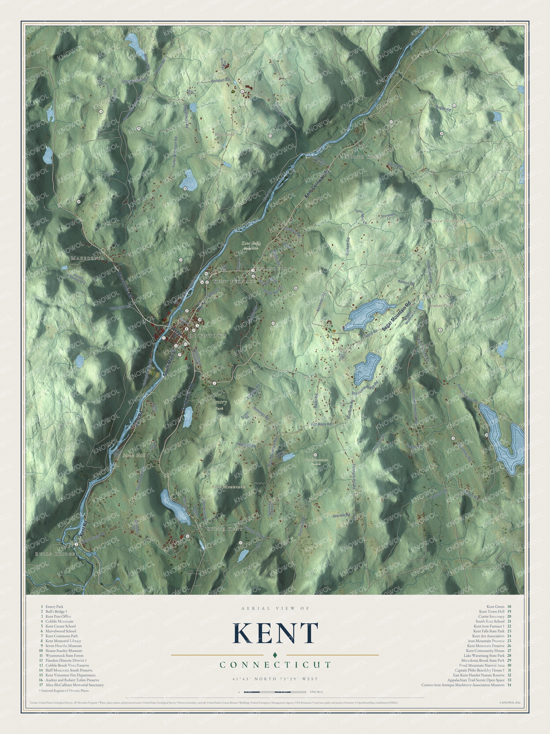
Click to explore a larger preview. The digital watermark does not appear on printed maps.
Names on this map
These names are printed on this map.
Places: Downtown, Bulls Bridge, South Kent, North Kent, East Kent, Macedonia, Bald Hill, Birch Hill, Bromica Mountain, Bull Mountain, Beaman Pond, Blatz Pond, Emery Park, Iron Mountain Preserve, Kent Falls State Park, Wyantenock State Forest, Kent Furnace and Flanders.
Streets and roads: Macedonia Road, South Main Street, Segar Mountain Road, Kent Road, South Kent Road, Kent Cornwall Road, Chippewalla Road, Treasure Hill Road, Flat Rock Road, Jennings Road, Skiff Mountain Road, Kent Hollow Road.
More street names, A to Z
Anderson Acres Road, Anderson Road, Appalchian Road, Bald Hill Road, Beardsley Road, Berkshire Road, Birch Hill Lane, Botsford Road, Bridge Street, Brown Road, Bulls Bridge Road, Camps Flat Road, Camps Road, Carter Road, Chase Hill Road, Cobble Lane, Cobble Road, Davis Road, Dolldorf Road, Dugan Road, Eber Road, Flanders Lane, Fuller Mountain Road, Geer Mountain Road, Gorham Road, Halls Lane, Henderson Road, Hidden Hollow Road, Hidden Meadow Lane, Highland Road, Howland Road, Johnson Road, Keeler Road, Kelly Drive, Kenico Road, Kenmont Road, Macedonia Brook Road, Maple Street Extended, Mountain Road, Mud Pond Road, Muller Road, Nodine Pasture Road, North Kent No 1 Road, North Kent No 2 Road, North Main Street, Old Barn Road, Ore Hill Road, Peet Hill Road, Pond Road, Preston Mountain Road, Richards Road, River Road, Saddle Ridge Road, Schaghticoke Road, South Road, Spaulding Farm Lane, Spectacle Ridge Road, Spooner Hill Road, Stonewall Lane, Straight Road, Studio Hill Circle, Studio Hill Road, Summer Road, Tanguay Road, Ten Rod Road, Upper Kent Hollow Road, Ward Road, Weber Road, West Woods Road, Yuzi-Mini Lane.
This beautifully detailed map of Kent makes an attractive addition to your office, library, or den, and it can even be used to teach children the geography and history of the area. It also makes a great gift for someone who left Kent and still calls it home. When you’re done exploring, click here to get your copy of the Kent map.