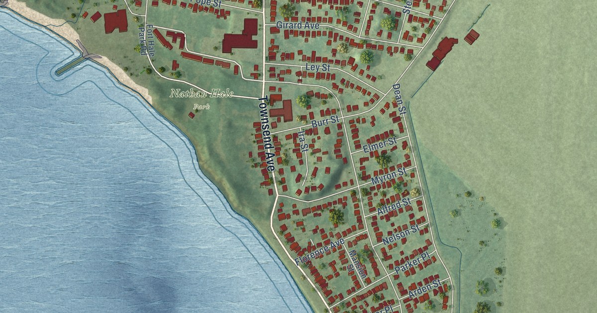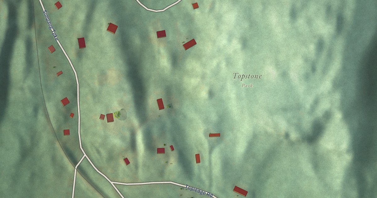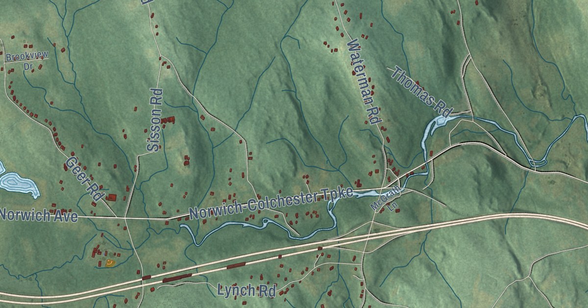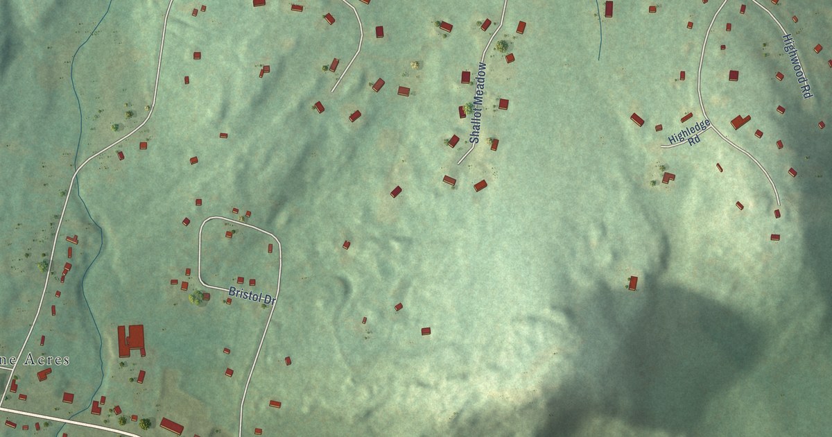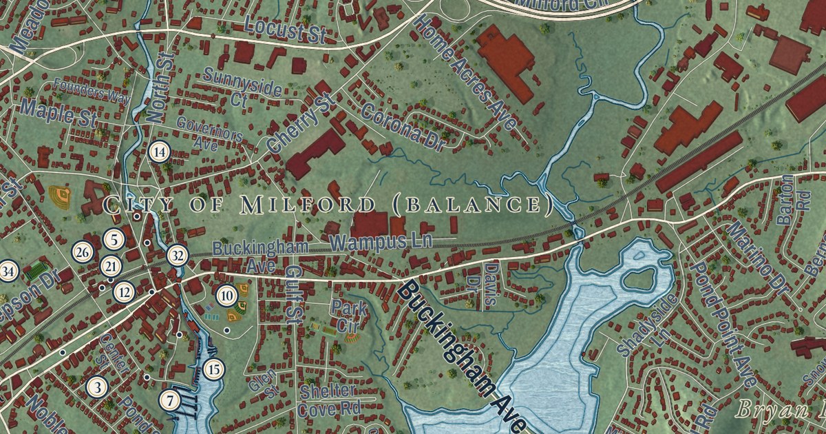
This beautifully detailed map of Milford, Connecticut was created in 2026 using aerial imagery combined with modern topographical, census, street and landmark data. It’s a one-of-a-kind view of Milford that combines accurate data with a vintage aesthetic. The map shows every building in its true location, many of the roads carry their names, and the shaded topographic relief shows the shape of the land.
See it on a wall
The Milford map as an 18 x 24 inch print in a black frame.

Explore an aerial view of Milford, Connecticut
On the map you’ll find Downtown, Cedar Beach, Baldwin Point, Bryan Hill, Burns Point, Burwell Hill, Baird Millpond, Beaver Brook Ponds, Eisenhower Park, Silver Sands State Park, Solomon Woods, Baldwins Crossing, and more. If you look closely you can even find your house accurately drawn in its correct location. Zoom in on the preview to look for yours. Click here to learn more about the history of Milford.
Take a closer look at the Milford map
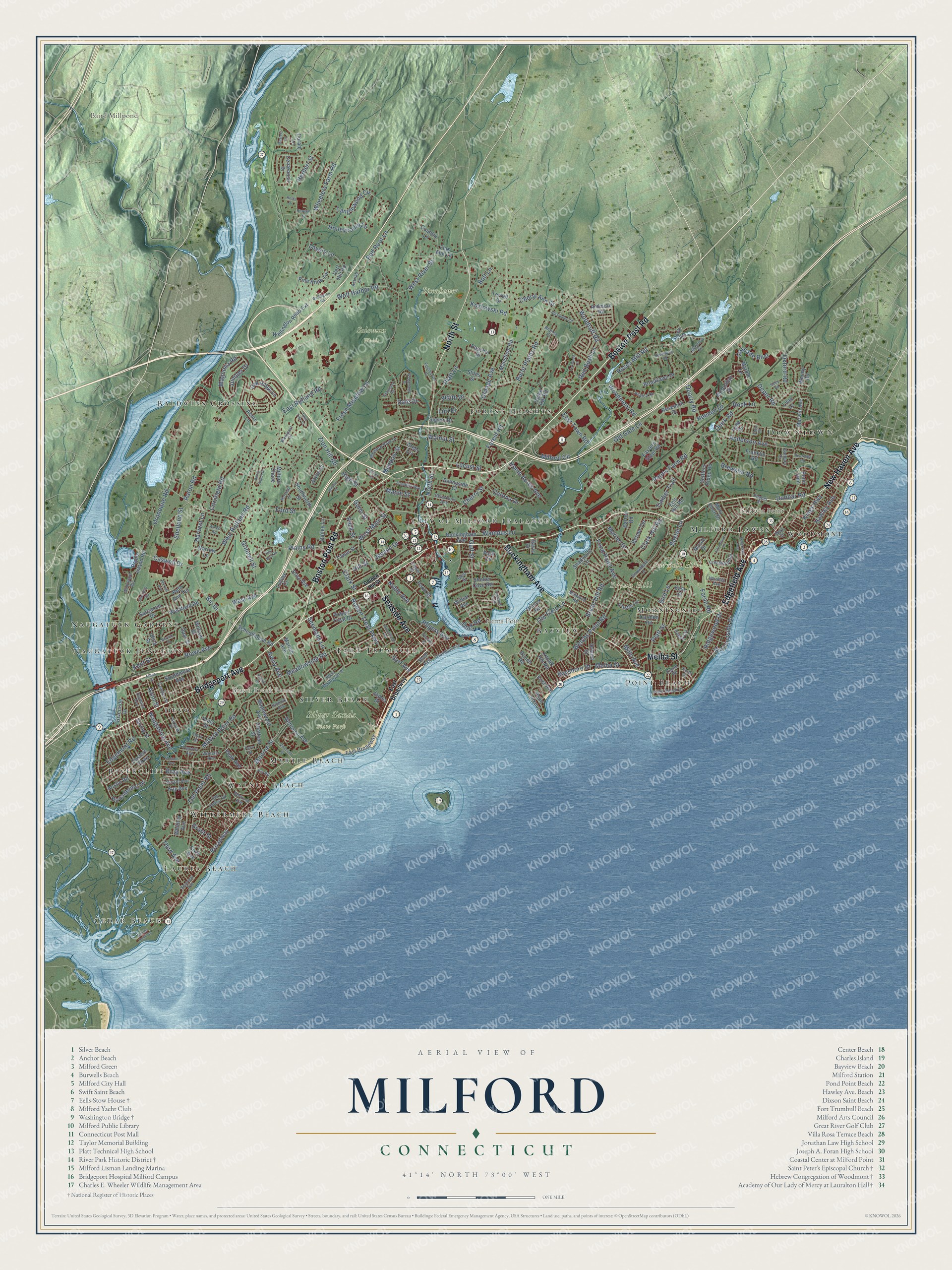
Click to explore a larger preview. The digital watermark does not appear on printed maps.
Names on this map
These names are printed on this map.
Places: Downtown, Cedar Beach, Baldwin Point, Bryan Hill, Burns Point, Burwell Hill, Baird Millpond, Beaver Brook Ponds, Eisenhower Park, Silver Sands State Park, Solomon Woods, Baldwins Crossing, Rivercliff, Forest Heights, Walnut Beach, Point Beach, Devon, Morningside, Naugatuck Gardens, Laurel Beach, Myrtle Beach, Wildermere Beach, Bayview, Silver Beach, Fort Trumbull, Naugatuck Junction, Woodmont and Milford Lawns.
Streets and roads: Boston Post Road, New Haven Avenue, Bridgeport Avenue, Seaside Avenue, North Street, Buckingham Avenue, Edgefield Avenue, Melba Street, West Main Street, Broadway, Plains Road, Roses Mill Road.
More street names, A to Z
Acorn Lane, Alexander Road, Alfred Road, Anderson Avenue, Ardmore Road, Astriab Lane, Austin Road, Avalon Drive, Avery Avenue, Avon Street, Bailey Lane, Barbara Drive, Barton Road, Baxter Lane, Bayshore Drive, Berner Terrace, Bertrose Avenue, Bic Drive, Bird Lane, Bolt Lane, Branca Court, Bray Avenue, Brewster Road, Brooklawn Drive, Bryan Hill Road, Burnt Plains Road, Camden Street, Captains Walk, Carmen Road, Cascade Boulevard, Castle Lane, Caswell Drive, Cedar Hill Road, Centennial Drive, Center Street, Chapel Street, Charles Street, Chatham Street, Cherry Street, Cheryl Ann Drive, Clark Hill Road, Clark Street, Coram Lane, Cornfield Road, Cornflower Drive, Corona Drive, Country Lane, Crestwood Road, Dale Drive, Dart Hill Road, Davis Drive, Daytona Avenue, Depot Road, Dock Road, Dunbar Road, Earle Street, East Broadway, Eastern Parkway, Eastern Steel Road, East Rutland Road, East Town Road, Easy Street, Edgemont Road, Eels Hill Road, Eisenhower Drive, Elaine Road, Elbon Street, Elgin Road, Erna Avenue, Fairview Street, Fern Street, First Avenue, Flax Mill Lane, Flora Street, Foran Road, Ford Street, Forest Road, Founders Way, Foxwood Lane, Franklin Road, Fresh Meadow Lane, Glen Street, Golden Hill Street, Governors Avenue, Grant Street, Grassland Road, Greenfield Road, Greer Circle, Grinnell Street, Gulf Street, Gunn Street, Harvest Lane, Hawley Avenue, Heenan Drive, Henry Albert Drive, Herbert Street, Hickory Avenue, High Street, Hill Street, Hilltop Circle, Hobson Avenue, Hollis Drive, Holly Street, Home Acres Avenue, Honeycomb Lane, Housatonic Drive, James Street, Jepson Drive, Joyce Court, Joy Road, Judith Drive, Juniper Drive, Kay Avenue, Kent Street, Kings Highway, Knobb Hill Road, Kozlowski Road, Lakeview Drive, Lavery Lane, Lilac Lane, Lincoln Avenue, Locust Street, Lori Drive, Lucille Drive, Lucius Court, Lyda Drive, Magnolia Road, Mansfield Road, Maple Street, Maplewood Avenue, Marble Lane, Marino Drive, Marion Avenue, Mark Street, Marshall Street, Mary Ellen Drive, Masters Lane, McQuillan Drive, Meadow Park Drive, Meadowside Road, Meadow Street, Merwin Avenue, Midwood Road, Milford Chase, Milford Circle, Milford Point Road, Mills Avenue, Monroe Street, Morningside Drive, Morrell Avenue, Narrow Lane, Naugatuck Avenue, Nettleton Avenue, Newton Street, Nicole Drive, Noble Avenue, Norway Street, Oak Ridge Lane, Old Field Lane, Old Gate Lane, Old Point Road, Opal Street, Orange Avenue, Orland Street, Oronoque Road, Oxford Road, Park Circle, Paschal Drive, Peak Avenue, Peck Lane, Peck Street, Penn Cmn, Pepes Farm Road, Pine Knob Terrace, Platt Lane, Platt Street, Point Beach Drive, Point Lookout, Pond Point Avenue, Pond Street, Popes Island Road, Quarry Road, Quirk Road, Ranch Road, Raton Road, Ray Bob Road, Red Bush Lane, Red Root Lane, Research Drive, Ridgewood Drive, Riverdale Road, Riverside Drive, Robert Treat Drive, Robert Treat Parkway, Rock Lane, Rogers Avenue, Roller Terrace, Rosebrook Road, Rowe Avenue, Ruth Ann Terrace, Saley Road, Sassacus Drive, Schoolhouse Road, Seabreeze Avenue, Sea Flower Road, Seaview Avenue, Seemans Lane, Settlers Ridge Road, Shadyside Lane, Shelland Street, Shell Avenue, Shelter Cove Road, Sigwin Drive, Sixth Avenue, Smiths Point Road, Snowapple Lane, Southworth Street, Spring Street, Stiles Street, Strathmore Avenue, Sunnyside Court, Sunset Avenue, Surf Avenue, Tanglewood Circle, Terrell Drive, Third Avenue, Timber Trail, Tower Street, Trumbull Avenue, Tulip Tree Court, Utica Street, Viscount Drive, Walnut Street, Wampus Lane, Welchs Point Road, Wellington Road, Wellington Road Extension, Wendy Road, Wepawaug Drive, West Avenue, Westfield Road, West Mayflower Place, Westport Place, West River Street, West Rutland Road, Whalley Avenue, Wheeler Avenue, Wheelers Farm Road, Whitney Avenue, Wilbar Avenue, Wilcox Road, William Street, Wilson Street, Windward Road, Wolf Harbor Road, Woodhill Road, Woodmont Road, Woodruff Road, Zion Hill Road.
This beautifully detailed map of Milford makes an attractive addition to your office, library, or den, and it can even be used to teach children the geography and history of the area. It also makes a great gift for someone who left Milford and still calls it home. When you’re done exploring, click here to get your copy of the Milford map.