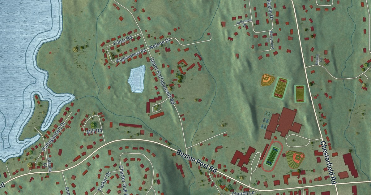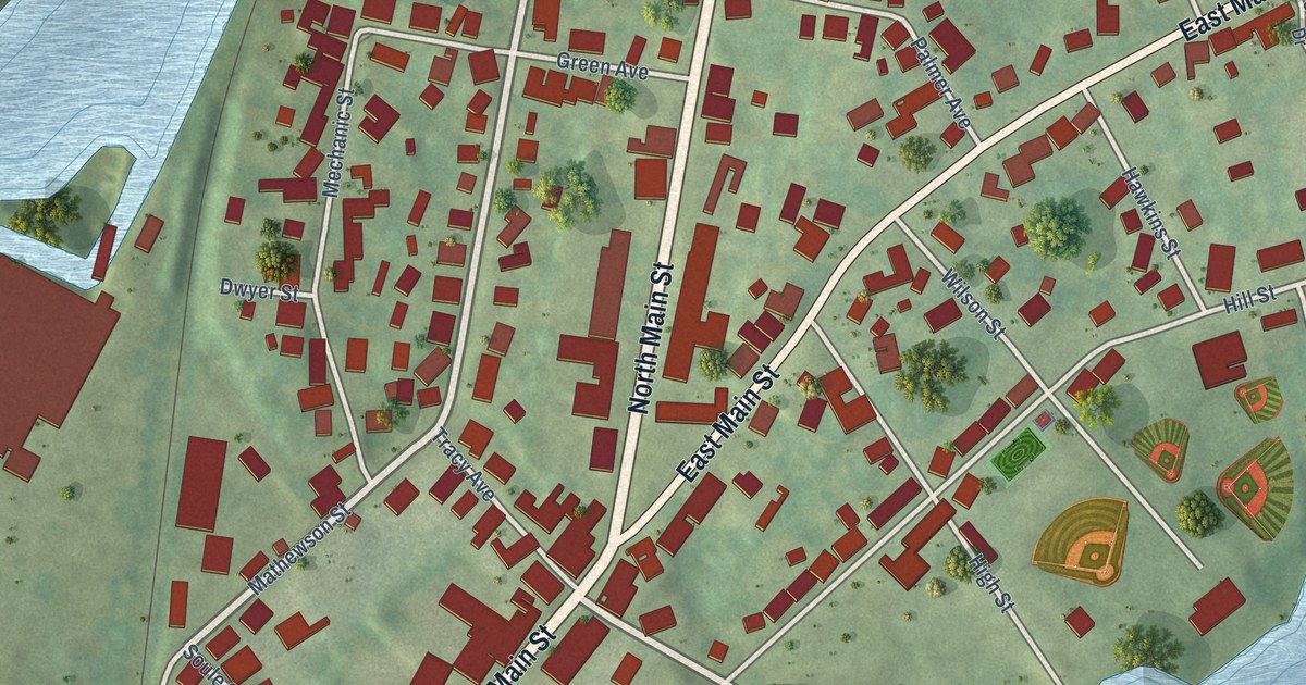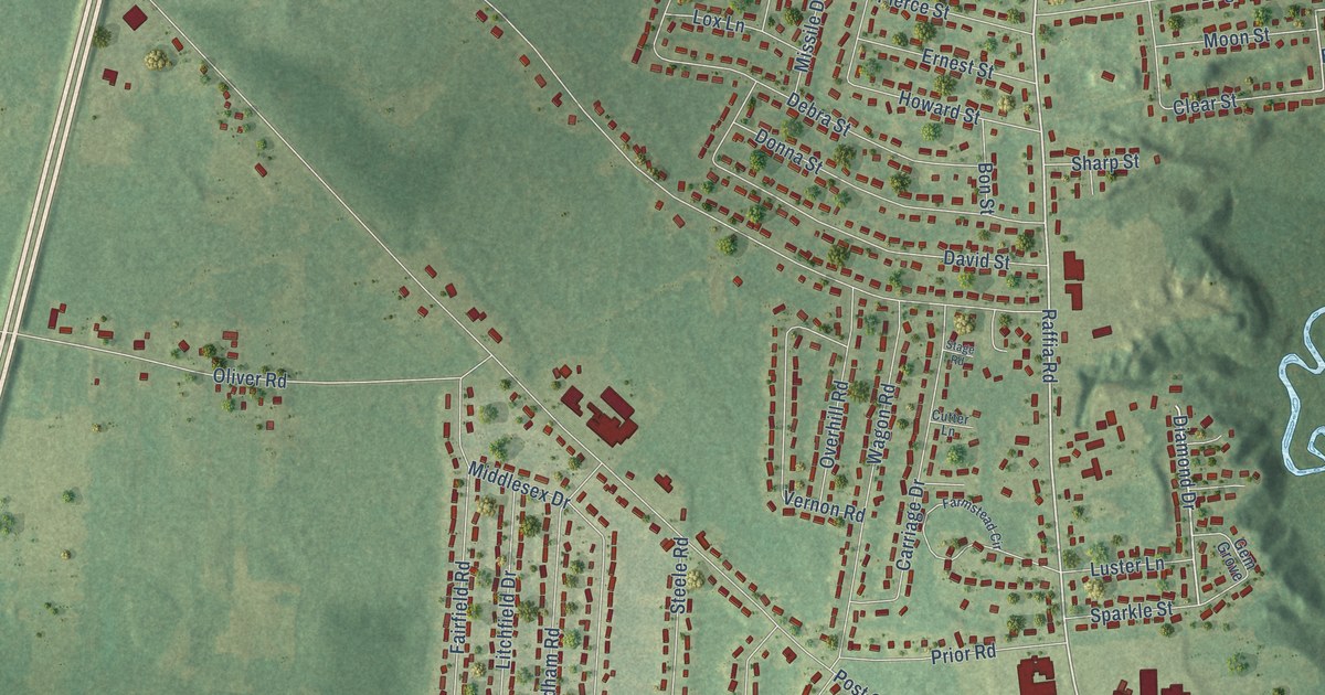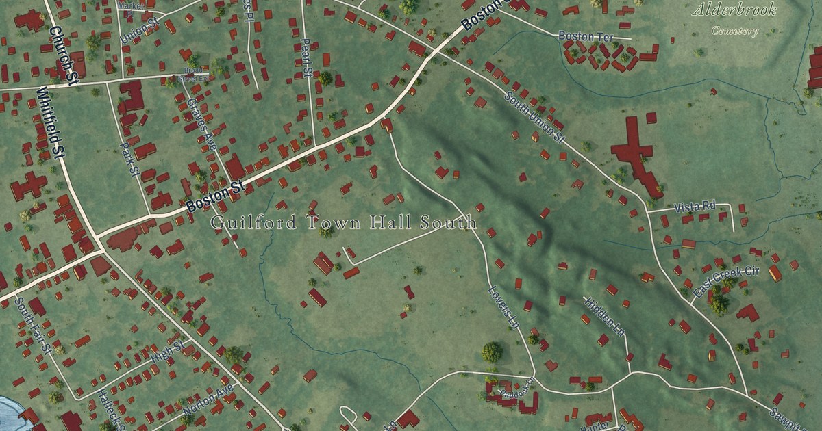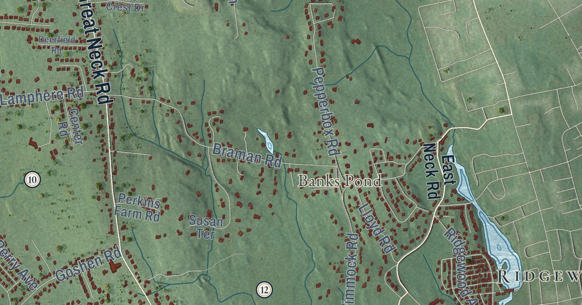
This beautifully detailed map of Waterford, Connecticut was created in 2026 using aerial imagery combined with modern topographical, census, street and landmark data. It’s a one-of-a-kind view of Waterford that combines accurate data with a vintage aesthetic. The map shows every building in its true location, many of the roads carry their names, and the shaded topographic relief shows the shape of the land.
See it on a wall
The Waterford map as an 18 x 24 inch print in a black frame.

Explore an aerial view of Waterford, Connecticut
On the map you’ll find Downtown, Bartlett, Bailey Point, Baptist Hill, Barnville Hill, Bartlett Hill, Banks Pond, Bush Pond, Silver Falls, Sandy Point, Pleasure Beach, Quaker Hill, and more. If you look closely you can even find your house accurately drawn in its correct location. Zoom in on the preview to look for yours. Click here to learn more about the history of Waterford.
Take a closer look at the Waterford map
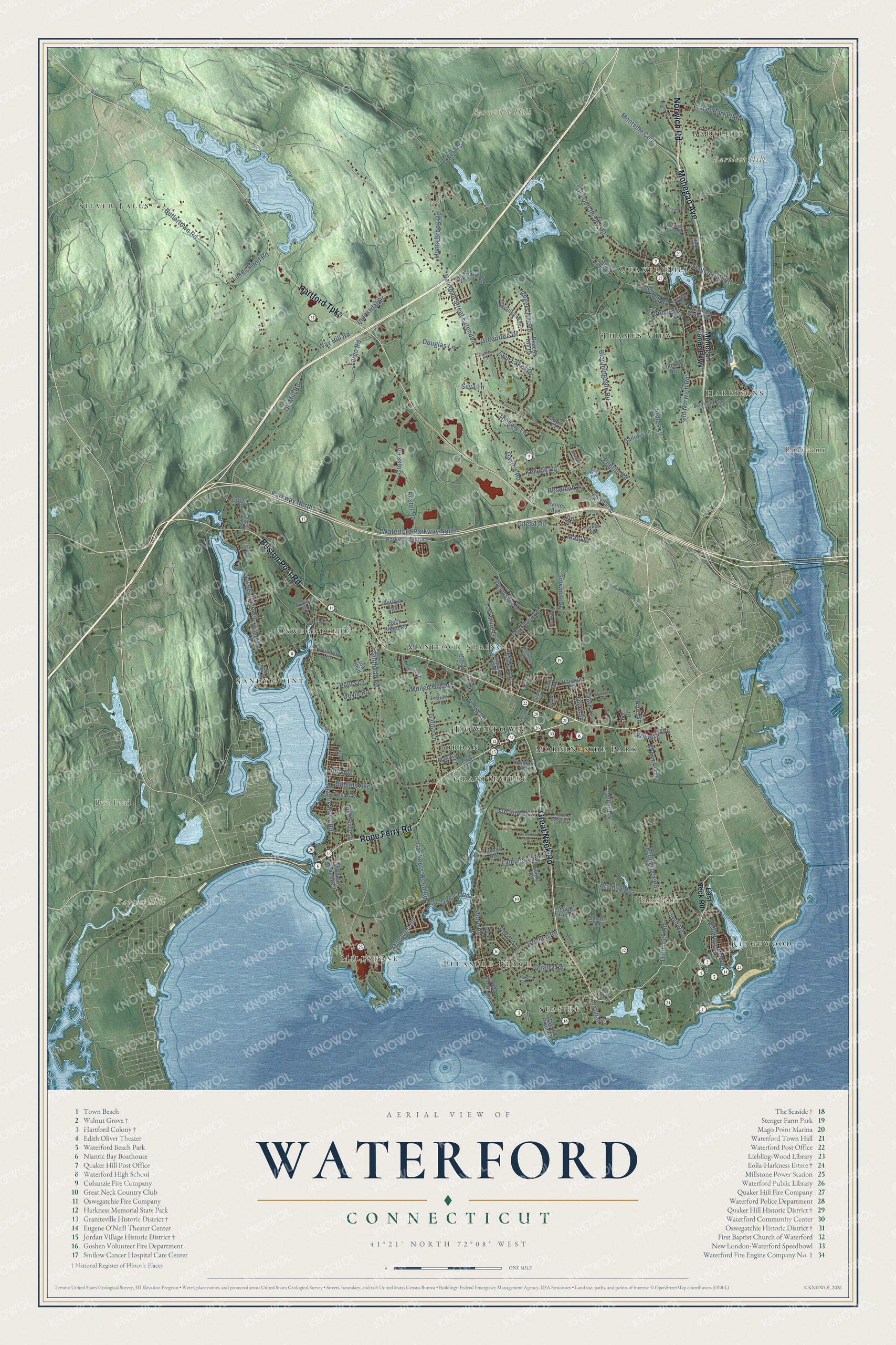
Click to explore a larger preview. The digital watermark does not appear on printed maps.
Names on this map
These names are printed on this map.
Places: Downtown, Bartlett, Bailey Point, Baptist Hill, Barnville Hill, Bartlett Hill, Banks Pond, Bush Pond, Silver Falls, Sandy Point, Pleasure Beach, Quaker Hill, Graniteville, Millstone, Manitock Spring, Thames View, Ridgewood, Oswegatchie, Jordan, Harrisons, Seaside and Morningside Park.
Streets and roads: Boston Post Road, Rope Ferry Road, Great Neck Road, Norwich Road, Hartford Turnpike, Mohegan Avenue, Vauxhall Street Extended, Ridgewood Avenue, Bloomingdale Road, Spithead Road, Niantic River Road, Parkway North.
More street names, A to Z
Avery Lane, Beacon Hill Drive, Benham Avenue, Bolles Lane, Braman Road, Brook Street, Butlertown Road, Center Road, Chapman Avenue, Cinderella Lane, Circle Street, Clark Lane, Clark Place, Coit Court, Colonial Drive, Cross Road, Daniels Avenue, Dayton Road, Deerfield Road, Devonshire Drive, Dimmock Road, Douglas Lane, Doyle Road, Dunbar Road, East Neck Road, Edgewood Avenue, Ellen Ward Road, Fargo Road, Ferri Drive, Fifth Avenue, First Avenue, Fog Plain Road, Foster Road, Fulmore Drive, Gallows Lane, Gallup Lane, Gardiners Wood Road, Gilead Road, Giovanni Drive, Goshen Road, Grabner Drive, Greentree Drive, Gurley Road, Harvey Avenue, Hickory Lane, High Ridge Drive, Hunts Brook Road, Ina Boulevard, Industrial Drive, Jordan Cove Road, Josan Drive, Kenyon Road, Kingfisher Way, Ladley Road, Lakes Pond Road, Lamphere Road, Laurel Crest Drive, Laurel Glen Road, Lee Road, Lincoln Road, Lindross Lane, Lloyd Road, Logger Hill Road, Lois Avenue, Lower Bartlett Road, Magonk Point Road, Manitock Hill, Maple Court, Maple Road, Maple Terrace, Marilyn Road, Mary Street, Meadow Drive, Millers Pond Road, Millstone Road, Millstone Road West, Miner Avenue, Miner Lane, Mohegan Avenue Parkway, Monroe Street, Montville Con, Mullen Hill Road, Myrock Avenue, New Shore Road, Norman Street, North Road, Oil Mill Road, Old Barry Road, Old Colchester Road, Old Mill Road, Old Norwich Road, Olive Street, Oswegatchie Road, Overlook Drive, Park Drive, Parkway South, Paula Lane, Pepperbox Road, Perkins Farm Road, Perry Avenue, Phillips Street, Pilgrim Road, Pine Street, Quarry Road, Quinley Way, Richards Grove Road, Riverside Drive, Rock Ridge Road, Rockwood Drive, Rogers Hill Road, Roseleah Drive, Savi Avenue, Scenic View Drive, Scotch Cap Road, Shore Road, Silva Lane, Stoneheights Drive, Summer Street, Susan Terrace, The Strand, Tiffany Avenue, Totoket Road, Trumbull Road, Twin Lakes Drive, Unger Road, Vauxhall Street, Waterford Parkway North, Way Hill Road, West Neck Road, Willetts Avenue, Yorkshire Drive.
This beautifully detailed map of Waterford makes an attractive addition to your office, library, or den, and it can even be used to teach children the geography and history of the area. It also makes a great gift for anyone who grew up in Waterford or moved away. When you’re done exploring, click here to get your copy of the Waterford map.