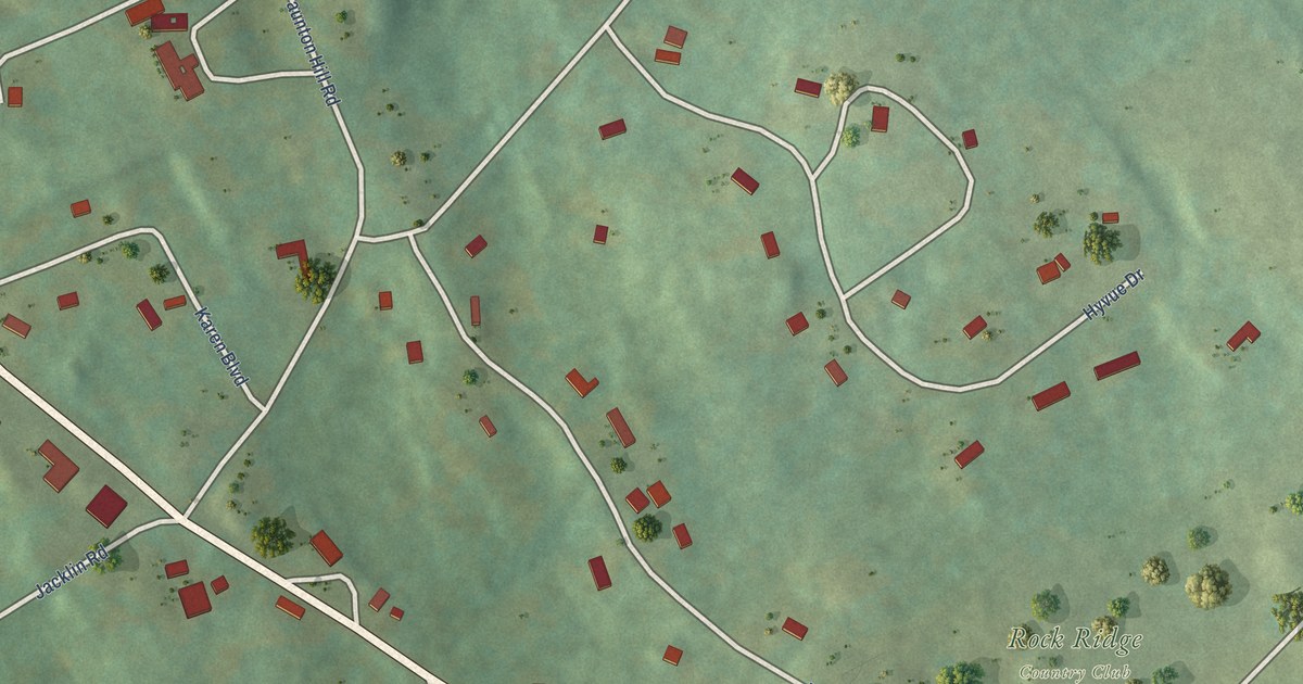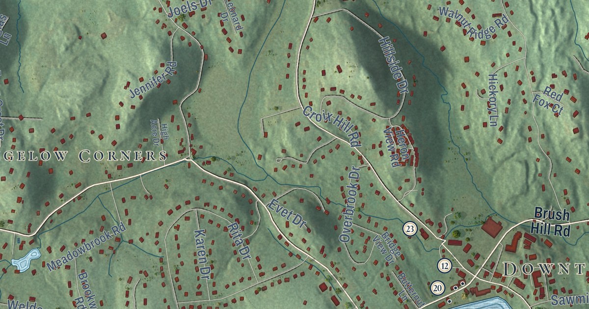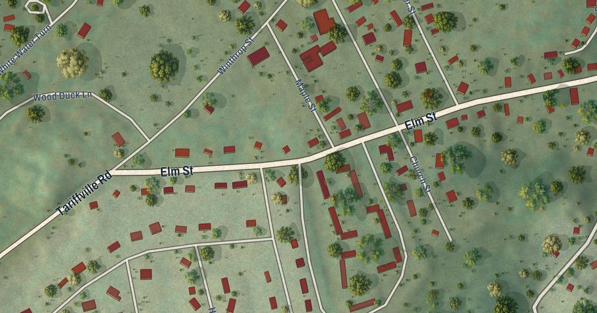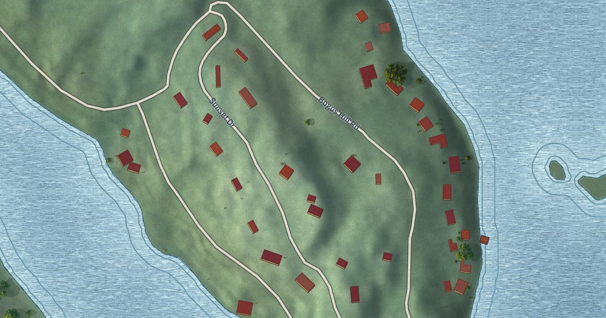
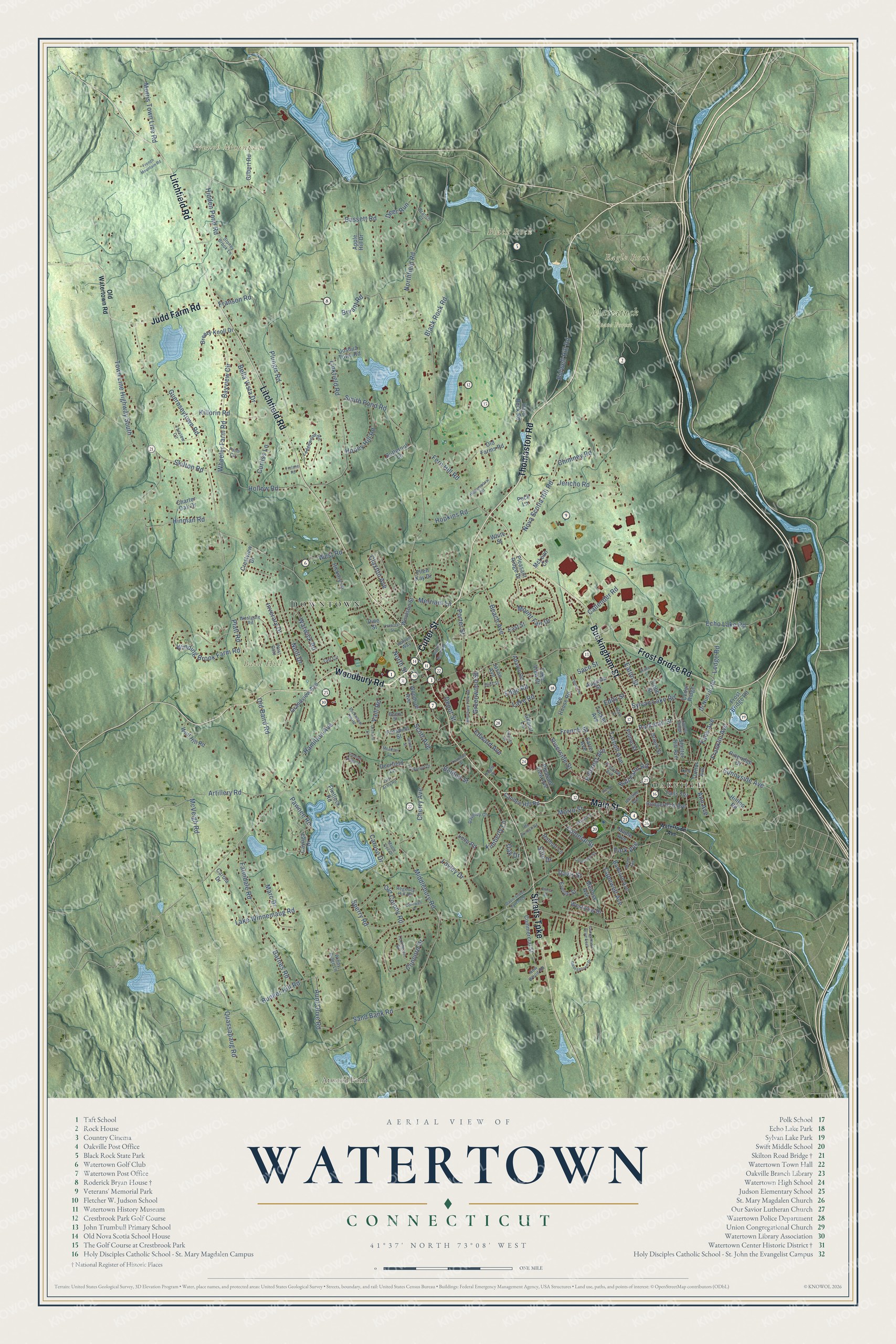
This beautifully detailed map of Watertown, Connecticut was created in 2026 using aerial imagery combined with modern topographical, census, street and landmark data. It’s a one-of-a-kind view of Watertown that combines accurate data with a vintage aesthetic. The map shows every building in its true location, many of the roads carry their names, and the shaded topographic relief shows the shape of the land.
See it on a wall
The Watertown map as an 18 x 24 inch print in a black frame.

Explore an aerial view of Watertown, Connecticut
On the map you’ll find Downtown, Oakville, Bald Hill, Black Rock, Eagle Rock, French Mountain, Atwood Pond, and Mattatuck State Forest, along with Thomaston Road, Woodbury Road, Cutler Street, Main Street, and more. If you look closely you can even find your house accurately drawn in its correct location. Zoom in on the preview to look for yours. Click here to learn more about the history of Watertown.
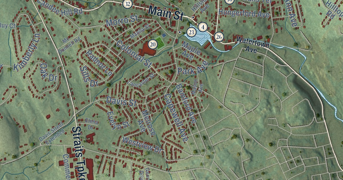
Take a closer look at the Watertown map
Click to explore a larger preview. The digital watermark does not appear on printed maps.
Names on this map
These names are printed on this map.
Places: Downtown, Oakville, Bald Hill, Black Rock, Eagle Rock, French Mountain, Atwood Pond and Mattatuck State Forest.
Streets and roads: Thomaston Road, Woodbury Road, Cutler Street, Main Street, Litchfield Road, Buckingham Street, Frost Bridge Road, Straits Turnpike, Judd Farm Road, Hamilton Avenue, Middlebury Road, Colonial Street.
More street names, A to Z
Adams Road, Ann Avenue, Apple Hill Drive, Artillery Road, Augusta Street, Aunt Olive Road, Ball Farm Road, Bamford Avenue, Barnes Road, Bassett Road, Bayview Circle, Beach Avenue, Beers Street, Belden Street, Bella Vista Drive, Bidwell Hill Road, Black Rock Road, Branch Court, Breezy Knoll Drive, Bryant Road, Buckwheat Hill Road, Bunker Hill Road, Butternut Lane, Callender Road, Candee Hill Road, Cannon Ridge Drive, Capewell Avenue, Carola Drive, Caruso Drive, Cayuga Drive, Cedar Ridge, Center Street, Charles Street, Charter Oak Drive, Cherry Avenue, Chimney Road, Claxton Avenue, Cliff Street, Cobb Street, Commercial Street, Concord Drive, Cornwall Drive, Crestview Drive, Curtiss Lane, Daveluy Court, Davis Street, Davis Street Extended, Deerfield Lane, Deer Run, Depot Street, Di Nunzio Road, Earle Avenue, East Street, Eaton Street, Echo Lake Road, Eddy Street, Edge Road, Edward Avenue, Elena Drive, Ellen Kay Drive, Evelyn Street, Fairview Avenue, Falls Avenue, Falls Terrace, Farm Circle, Farmdale Road, Farview Circle, Fern Hill Road, Fiume Street, Flintlock Road, Franklin Avenue, Franson Road, French Mountain Road, French Street, Georgetown Drive, Georgetown Drive East, Gilbert Lane, Gilbert Road, Grandview Avenue, Greenwood Street, Guernseytown Road, Hard Rock Road, Hawley Street, Heath Street, Henry Street, Hickory Lane, Hidden Pond Road, Highmeadow Road, Hillcrest Avenue, Hillside Avenue, Hilltop Road, Hinman Road, Hollow Road, Honey Hill Road, Hopkins Road, Hungerford Avenue, Ice House Road, Inverary Drive, Jason Avenue, Jericho Road, Joshua Town Road, Killorin Road, Kimberly Lane, Knight Street, Lake Road, Lake View Drive, Lake Winnemaug Road, Lancaster Street, Laurel Ridge, Ledge Road, Ledgewood Road, Lexington Drive, Libson Street, Linkfield Road, Lockwood Drive, Loop Road, Lovley Drive, Manila Street, Maple Avenue, Maple Tree Drive, Marc Drive, Mason Avenue, Mc Donnell Road, McLean Circle, McVeigh Road, Meadow Lane, Melrose Avenue, Merriam Lane, Morris Town Line Road, Morro Street, Mount Fair Drive, Neill Drive, New Wood Road, Northfield Road, North Street, Nova Scotia Hill Road, Oak Drive, Old Army Road, Old Baird Road, Old Colony Road, Old Farms Road, Old Watertown Road, Orchard Lane, Orient Street, Park Avenue, Parkman Street, Pawnee Road, Peck Lane, Pineridge Drive, Pine Street, Platt Road, Pleasant Ridge Drive, Pleasant View Avenue, Plungis Road, Porter Street, Prospect Street, Quassapaug Road, Radnor Lane, Regency Hill Road, Riverside Street, Saco Street, Sand Bank Road, Scott Avenue, Shelter Hill Avenue, Sills Drive, Skilton Road, Slade Street, Smith Pond Road, Sperry Road, Steele Brook Road, Stoney Brook Lane, Sunnyside Avenue, Sylvan Lake Road, Taft Circle, Tarbell Avenue, Town Line Highway South, Trolane Road, Trumbull Street, Tucker Avenue, Turnor Avenue, Vaill Road, Viola Street, Warren Way, Warwick Road, Watertown Avenue, Westbury Park Road, West Gate, Westgate Road, West Road, Westview Drive, Wheeler Farm Road, White Street, Winding Brook Farm Road, Windy Ridge Lane, Wolf Hill Road, Woodruff Avenue, Woolson Street.
This beautifully detailed map of Watertown makes an attractive addition to your office, library, or den, and it can even be used to teach children the geography and history of the area. It also makes a great gift for anyone who grew up in Watertown or moved away. When you’re done exploring, click here to get your copy of the Watertown map.