
The KNOWOL atlas ConnecticutFind your place
Your streets. Your story.
Connecticut Map PrintsToday’s towns.
Old atlas detail.
The streets you know. The place you carry with you. Discover Connecticut, drawn with the detail and character of an old atlas.
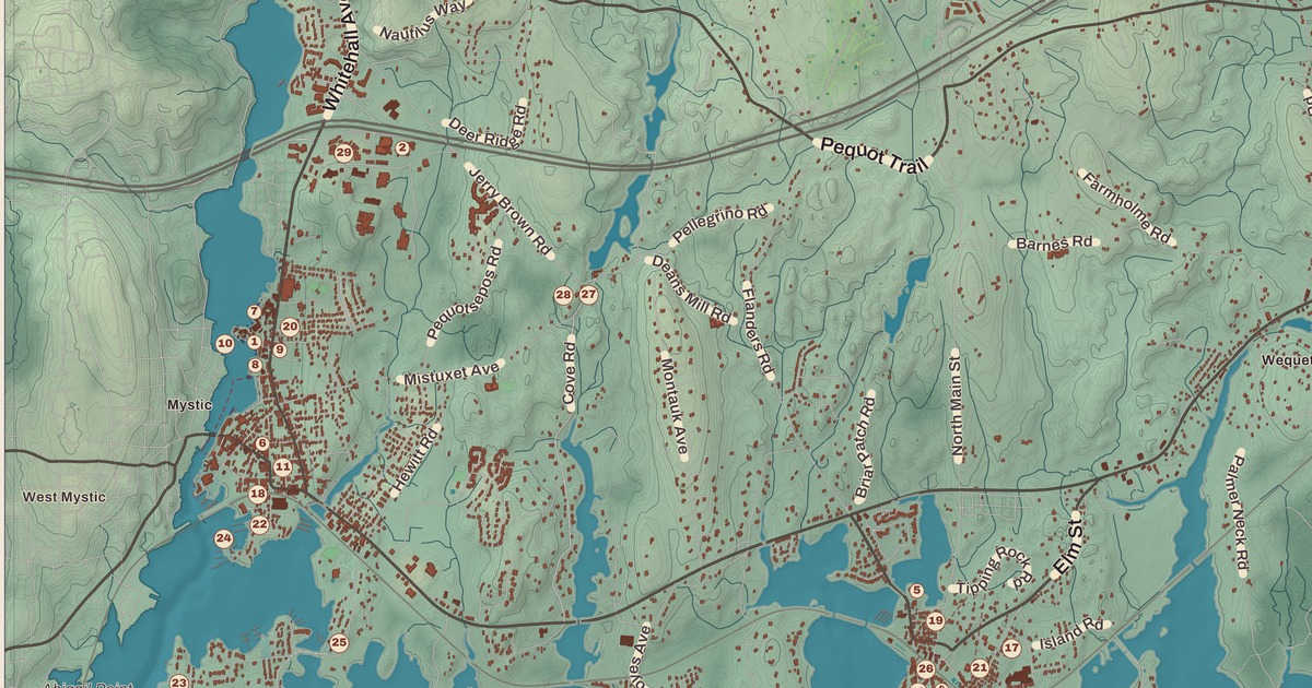
Southeastern Connecticut RegionStonington
↗Every place has a story
Let’s find yours.
Find your town on the map,
or search it by name.
Capitol Region
- Andover
- Avon
- Berlin
- Bloomfield
- Bolton
- Canton
- Columbia
- Coventry
- East Granby
- East Hartford
- East Windsor
- Ellington
- Enfield
- Farmington
- Glastonbury
- Granby
- Hartford
- Hebron
- Manchester
- Mansfield
- Marlborough
- New Britain
- Newington
- Plainville
- Rocky Hill
- Simsbury
- Somers
- South Windsor
- Southington
- Stafford
- Storrs
- Suffield
- Tolland
- Vernon
- West Hartford
- Wethersfield
- Willington
- Windsor
- Windsor Locks
Greater Bridgeport Region
Lower Connecticut River Valley Region
Naugatuck Valley Region
Northeastern Connecticut Region
Northwest Hills Region
South Central Connecticut Region
Southeastern Connecticut Region
Western Connecticut Region
Your place might still be on its way.
Try another spelling, choose a different region, or reset your search.
Request a map of your town ↗Each place opens its map.Take a little detour ↓
Worth a closer look
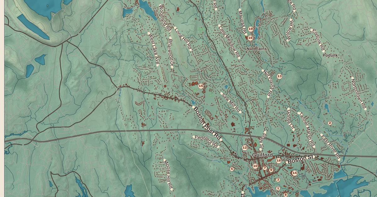
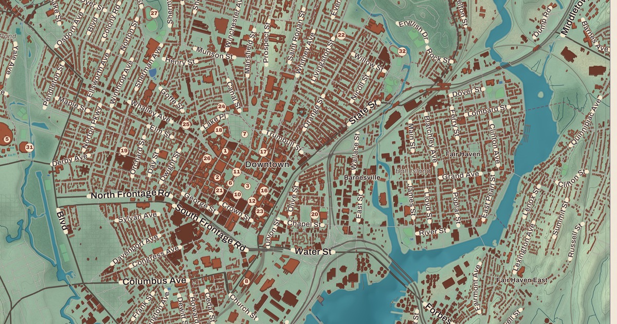
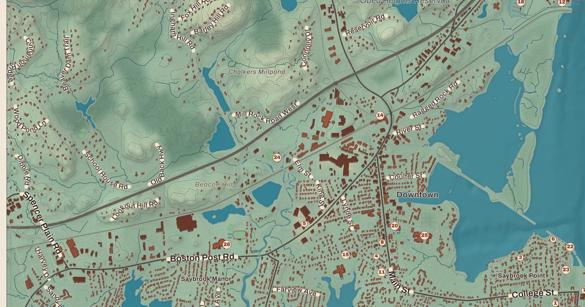
A few places to begin.
Follow a familiar street. Find a new favorite. There is a story in the detail.
Made for the place you love
A little closer.
A little more familiar.
A bend in the river. The street you grew up on. The shape of the town you still call home. A map brings those small, familiar things together in one place.
- 01Start with the real place.
Streets, buildings, terrain, and water form the map.
- 02Bring the details together.
Local research and an old atlas style give each place its character.
- 03Make room for home.
Explore the map, then choose a print to keep or give.
Connecticut, one place at a time.Find your town ↑