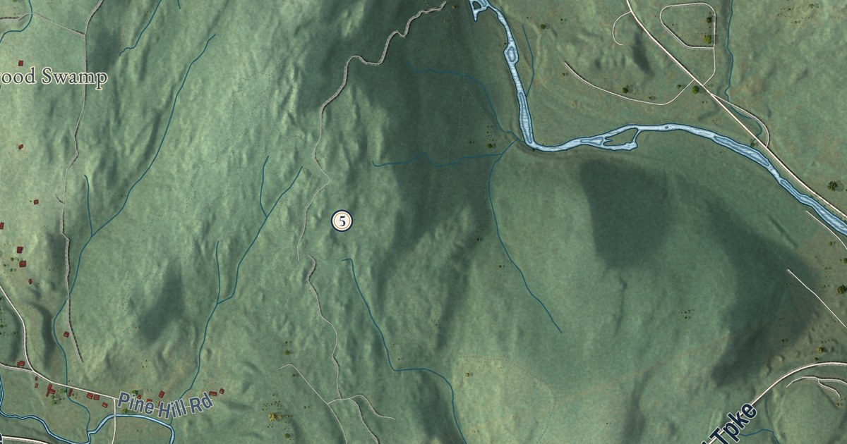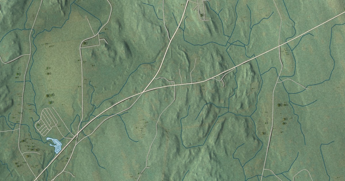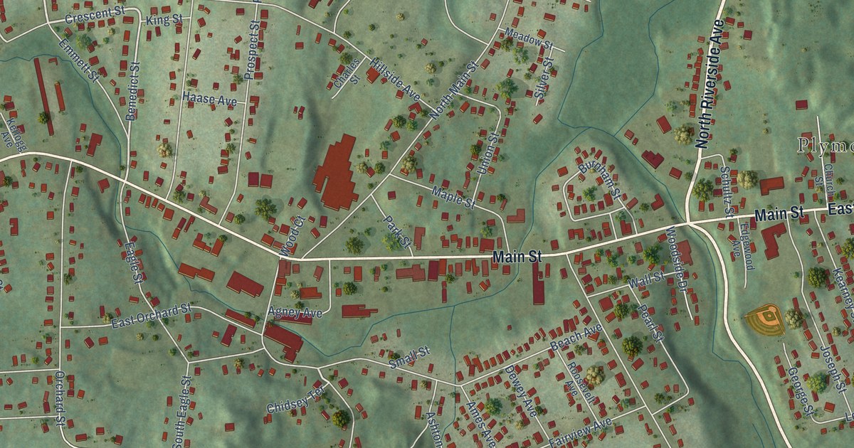
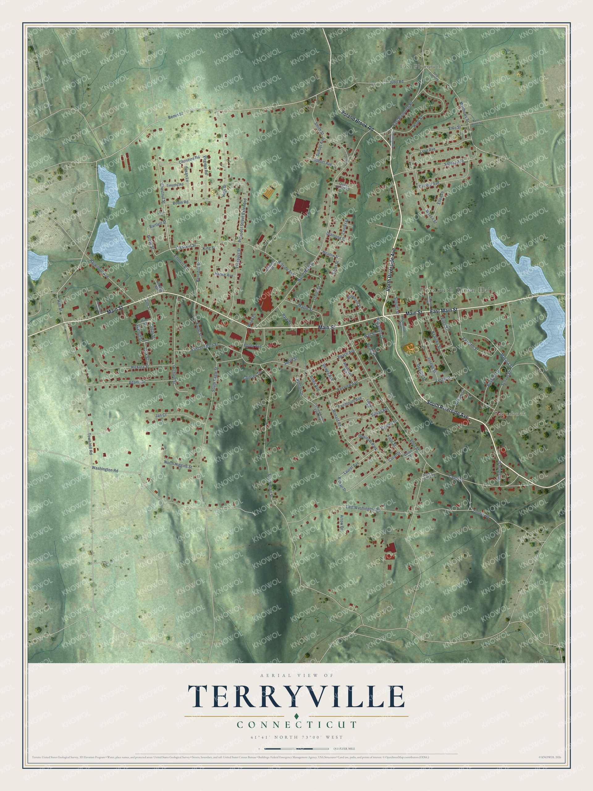
This beautifully detailed map of Terryville, Connecticut was created in 2026 using aerial imagery combined with modern topographical, census, street and landmark data. It's a modern aerial view of Terryville in Naugatuck Valley Planning Region, Connecticut, that combines modern data with a vintage aesthetic. The roads feature printed names, and if you look closely you can find your exact house accurately shown in its correct location.
Explore an aerial view of Terryville, Connecticut
On this map you'll find Plymouth Town Hall, Pequabuck, East Plymouth, North Riverside Avenue, East Main Street, South Riverside Avenue, Main Street, Poland Brook Road, East Plymouth Road, Crescent Street, Chestnut Street, Christine Road, and more. Each red shape is a building, so zoom in on the preview and look for yours.
Terryville is a community in Naugatuck Valley Planning Region. The Census Bureau counted 5,202 people here in 2020. Terryville sits about 3 miles west of Bristol, 4 miles east of Thomaston and 7 miles northeast of Oakville. The map prints the town name in its title panel, with the coordinates below it.
Take a closer look at the Terryville map
Names on this map
These names are printed on this map.
Places: Plymouth Town Hall, Pequabuck, East Plymouth and Gosinski Park.
Streets and roads: North Riverside Avenue, East Main Street, South Riverside Avenue, Main Street, Poland Brook Road, East Plymouth Road, Crescent Street, Chestnut Street, Christine Road, Benedict Street, Laurel Avenue, Bemis Street.
More street names, A to Z
Abbott Avenue, Adams Drive, Agney Avenue, Allen Street, Ames Avenue, Arrow Drive, Ashton Drive, Bartlett Street, Beach Avenue, Birch Street, Bobin Road, Burnham Street, Bushnell Street, Canal Street, Cedar Street, Center Street, Charles Street, Chidsey Terrace, Church Street, Coral Drive, Dewey Avenue, Diamond Street, Dilion Drive, Eagle Street, East Hill Street, East Minor Street, East Orchard Street, East Washington Road, Edgewood Avenue, Elko Street, Ellen Drive, Elm Street, Emmett Street, Fairmount Avenue, Fairview Avenue, Fairview Avenue Extended, Field Street, Forest Street, Garden Street, George Street, Grove Street, Haase Avenue, Harwinton Avenue, Hickory Street, High Street, Hillside Avenue, Holt Street, Hoye Street, Jan Court, Joseph Street, Judd Road, Kearney Street, Kellogg Avenue, King Street, Leslie Street, Liberty Street, Lynn Avenue, Makara Street, Maple Street, Matthews Street, Meadow Street, Meridian Street, Michael Drive, North Higgins Street, North Main Street, Oak Street, Orchard Street, Park Street, Patricia Avenue, Pearl Street, Pines Crossing, Pine Street, Prospect Street, Prospect Street Extended, Quail Hollow Court, Ronald Road, Roosevelt Avenue, Sandra Avenue, School Street, Schultz Street, Silver Street, Small Street, Smith Street, South Eagle Street, South Main Street, Steven Street, Sunset Avenue, Susan Lane, Sylvan Avenue, Timothy Road, Tomlinson Avenue, Tory Crossing, Town Hill Road, Tulip Street, Tunnel Road, Union Street, Virginia Road, Wall Street, Walnut Street, Washington Road, William Street, Wood Court, Woodside Drive.
Created by KNOWOL in 2026. The buildings are small red shapes, the roads carry their printed names, and shaded relief shows the shape of the land. The title panel reads "AERIAL VIEW OF TERRYVILLE, CONNECTICUT" with 41°41' NORTH 73°00' WEST.
It suits a den, a classroom or a front hall, and it makes a gift for anyone with Terryville roots. Open the preview and find the block you know. See sizes and frames for the Terryville map.