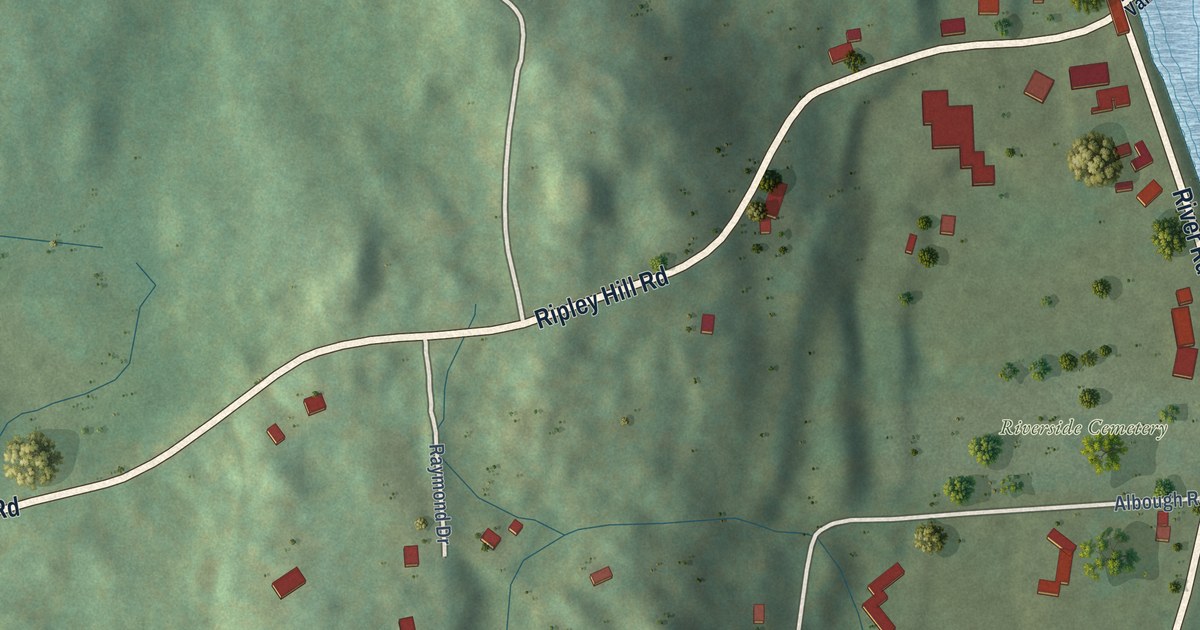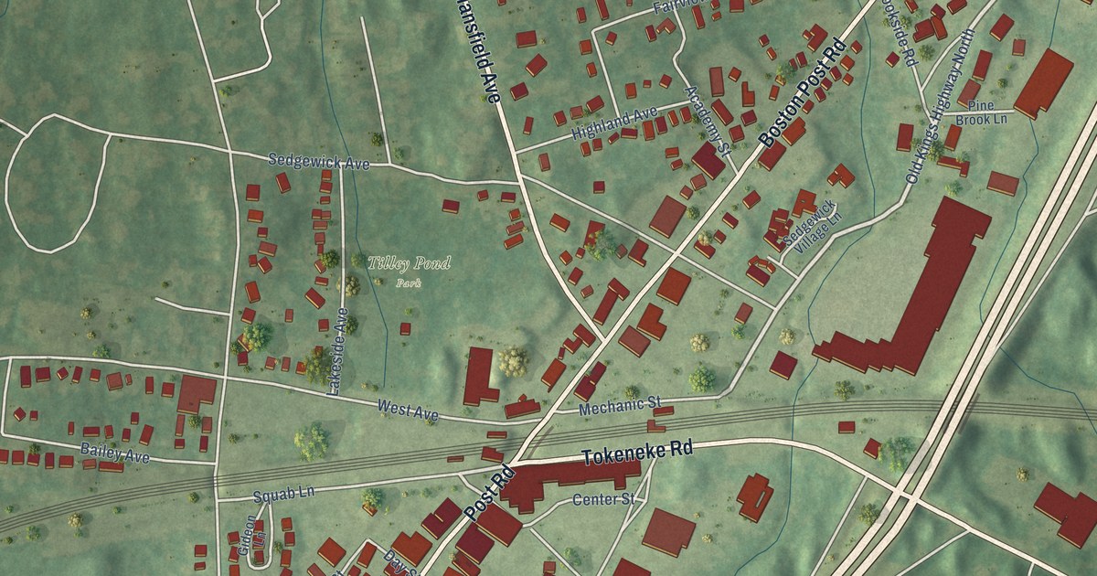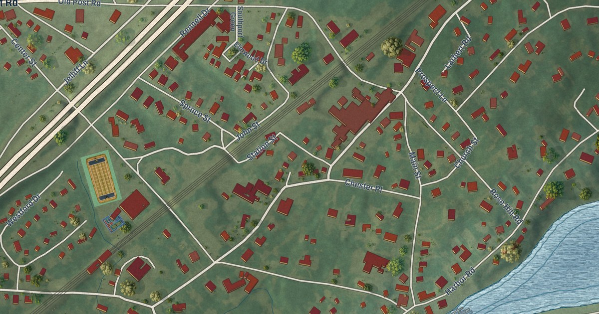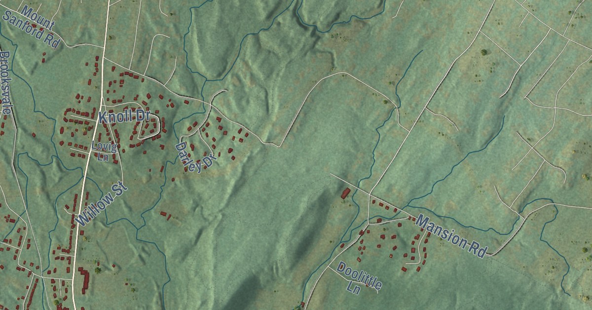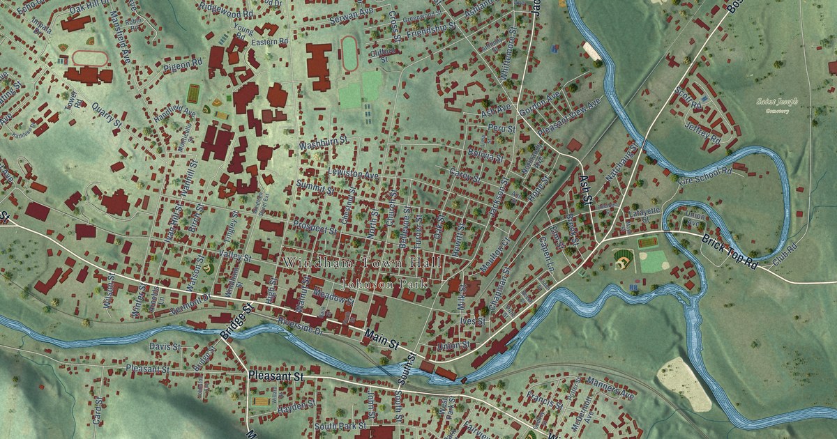
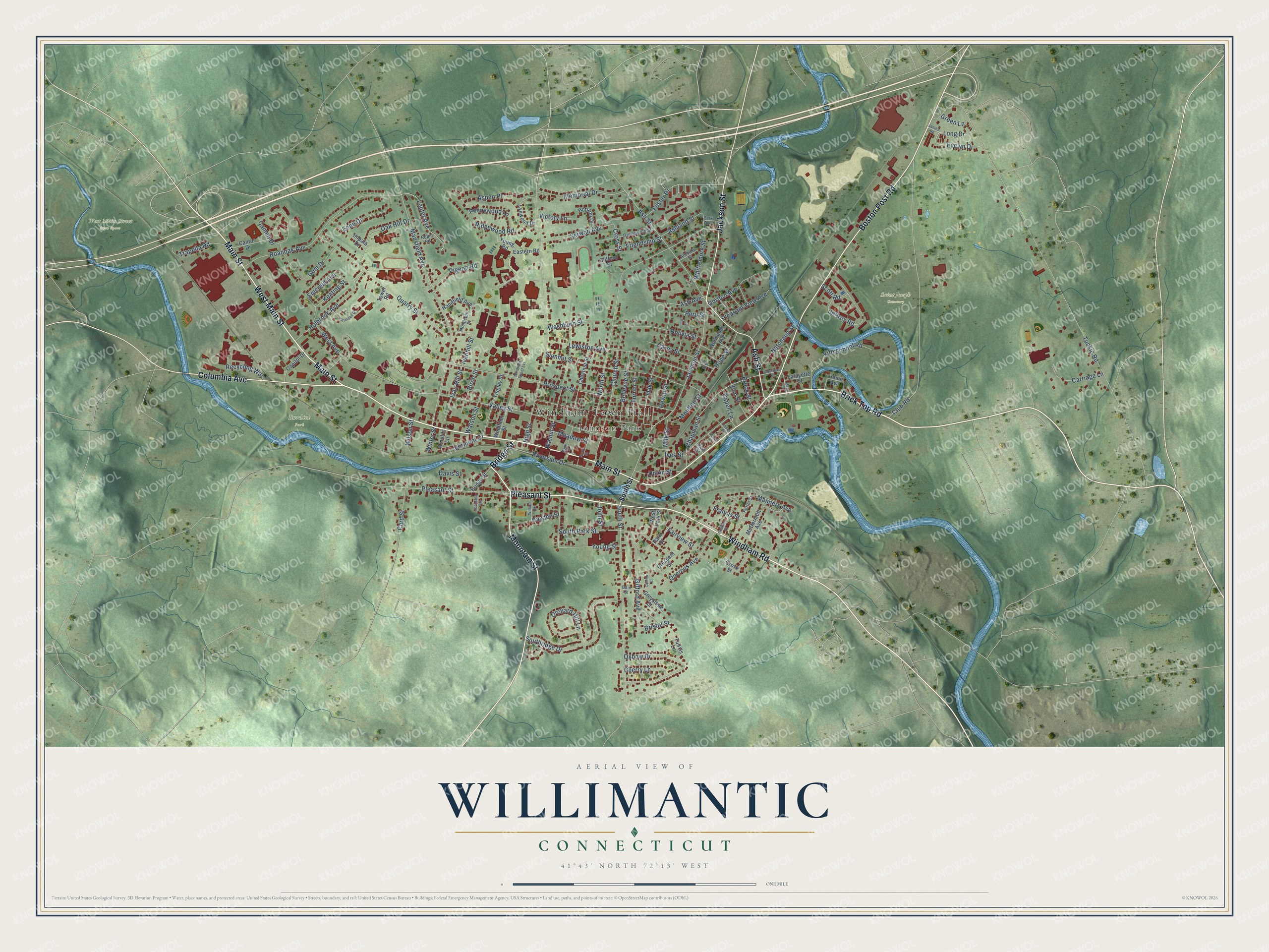
This beautifully detailed map of Willimantic, Connecticut was created in 2026 using aerial imagery combined with modern topographical, census, street and landmark data. It's a modern aerial view of Willimantic in Southeastern Connecticut Planning Region, Connecticut, that combines modern data with a vintage aesthetic. The roads feature printed names, and if you look closely you can find your exact house accurately shown in its correct location.
Explore an aerial view of Willimantic, Connecticut
On this map you'll find Windham Town Hall, Johnson Park, Burdick Park, Saint Joseph Cemetery, West Main Street Open Space, Main Street, Windham Road, Brick Top Road, Pleasant Street, Boston Post Road, Mountain Street, West Main Street, and more. Each red shape is a building, so zoom in on the preview and look for yours.
Willimantic is a community in Southeastern Connecticut Planning Region. The Census Bureau counted 18,149 people here in 2020. Willimantic sits about 3 miles northwest of South Windham, 4 miles south of Mansfield Center and 5 miles southeast of South Coventry. The map prints the town name in its title panel, with the coordinates below it.
Take a closer look at the Willimantic map
Names on this map
These names are printed on this map.
Places: Windham Town Hall, Johnson Park, Burdick Park, Saint Joseph Cemetery and West Main Street Open Space.
Streets and roads: Main Street, Windham Road, Brick Top Road, Pleasant Street, Boston Post Road, Mountain Street, West Main Street, Columbia Avenue, Jackson Street, Ash Street, Bridge Street, Chapman Street.
More street names, A to Z
Adelbert Street, Ann Street, Anthony Street, Arnolds Lane, Ash Avenue, Ashland Street, Aspen Place, Bain Street, Bank Street, Beech Street, Bellevue Street, Birch Street, Bolivia Street, Bristol Street, Brook Street, Cameo Drive, Cantor Drive, Capen Lane, Capitol Drive, Card Street, Carey Street, Carriage Lane, Cherry Lane, Chestnut Street, Church Street, Clifford Street, Club Road, Connor Street, Crescent Street, Cross Street, Davis Street, Eastern Road, Echo Drive, Elm Street, Emerald Avenue, Evelyn Drive, Fairview Street, Fire School Road, Foster Drive, Francis Street, Friendship Street, Gem Drive, Gifford Avenue, Godfrey Street, Gordon Avenue, Green Lane, Greenwood Street, Greystone Street, Grove Street, Handfield Avenue, Hayden Street, Hewitt Street, High Street, Holbrook Avenue, Hope Street, Horizon Drive, Impala Drive, Ivan Hill Street, Ivanhill Street, Ives Street, James Road, Jeffrey Road, Johnston Avenue, John Street, Kathleen Drive, Keating Street, Lafayette Street, Lauter Avenue, Lewiston Avenue, Lima Street, Linden Street, Long Drive, Lynwood Drive, Manners Avenue, Mansfield Avenue, Mayo Street, McDermott Avenue, Meadow Street, Memorial Drive, Milk Street, Monticello Street, Moulton Court, Natchaug Street, Normandy Avenue, North Street, Oak Hill Drive, Oak Street, Orchard Hill Lane, Oxbow Drive, Park Avenue, Park Street, Pennywood Lane, Peru Street, Pigeon Road, Pine Street, Pleasant View Avenue, Potter Street, Prospect Street, Quarry Street, Quercus Avenue, Recycling Way, Ridgewood Road, Riverside Drive, Roanoak Avenue, Robin Road, Scott Road, Serwan Avenue, South Park Street, Southridge Drive, South Street, Summit Street, Tingley Street, Tower Road, Trapella Road, Tuckie Road, Tunxis Lane, Turner Street, Union Avenue, Union Street, Valley Street, Vermont Drive, Victory Lane, Walnut Street, Washburn Street, Watson Street, West Avenue, West Park Street, Whittemore Street, Willard Street, Wilson Street, Windham Street, Windham Street Extension, Winter Street, Young Road, Young Street.
See it on a wall
The Willimantic map as a framed print. Swipe for more.


Created by KNOWOL in 2026. The buildings are small red shapes, the roads carry their printed names, and shaded relief shows the shape of the land. The title panel reads "AERIAL VIEW OF WILLIMANTIC, CONNECTICUT" with 41°43' NORTH 72°13' WEST.
Hang it in the hallway, the office or the cabin, or give it to someone who left Willimantic and still calls it home. Open the preview and look for a street you know. See sizes and frames for the Willimantic map.