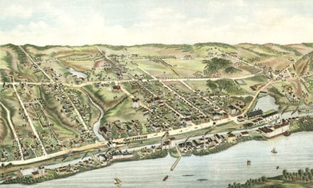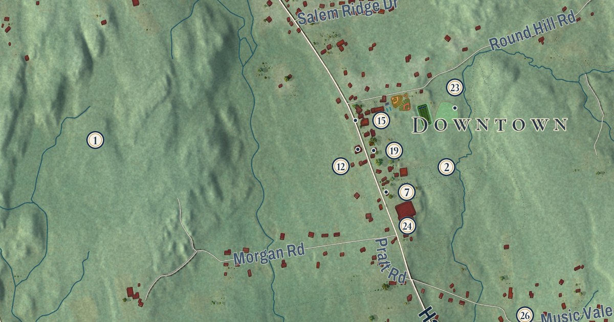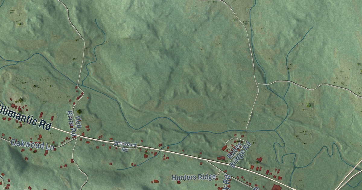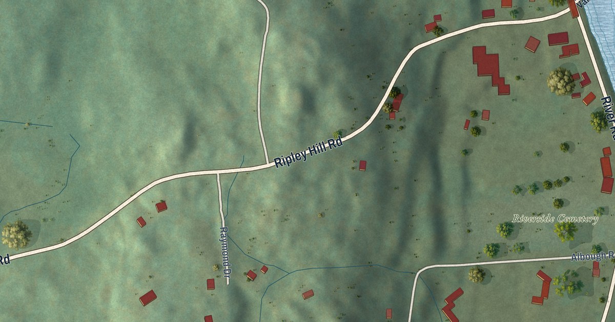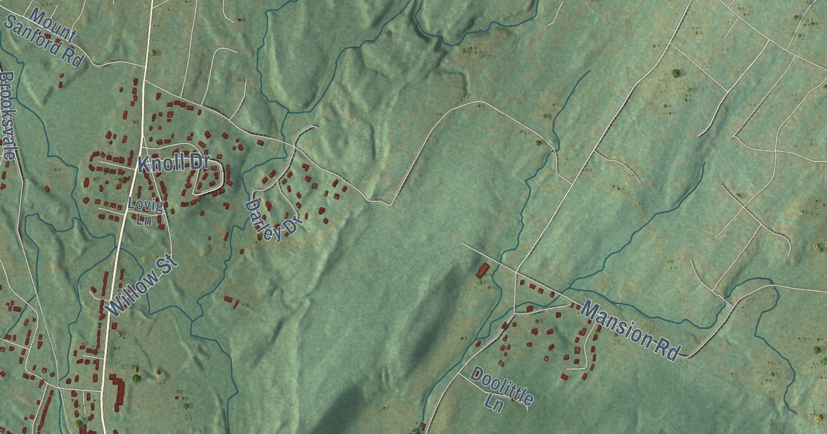
This beautifully detailed map of Hamden, Connecticut was created in 2026 using aerial imagery combined with modern topographical, census, street and landmark data. It’s a one-of-a-kind view of Hamden that combines accurate data with a vintage aesthetic. The map shows every building in its true location, many of the roads carry their names, and the shaded topographic relief shows the shape of the land.
See it on a wall
The Hamden map as an 18 x 24 inch print in a black frame.

Explore an aerial view of Hamden, Connecticut
On the map you’ll find Downtown, Carrington Hill, Cherry Hill, East Rock, High Rock, Axle Shop Pond, Bruces Ice Pond, Brooksvale Park, Naugatuck State Forest, Sleeping Giant State Park, West Rock Ridge State Park, Centerville, and more. If you look closely you can even find your house accurately drawn in its correct location. Zoom in on the preview to look for yours. Click here to learn more about the history of Hamden.
Take a closer look at the Hamden map
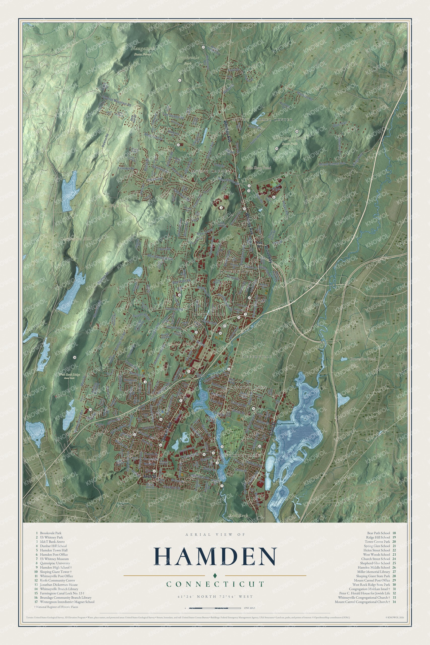
Click to explore a larger preview. The digital watermark does not appear on printed maps.
Names on this map
These names are printed on this map.
Places: Downtown, Carrington Hill, Cherry Hill, East Rock, High Rock, Axle Shop Pond, Bruces Ice Pond, Brooksvale Park, Naugatuck State Forest, Sleeping Giant State Park, West Rock Ridge State Park, Centerville, Whitneyville, Spring Glen, Mount Carmel Center, Augerville and Mount Carmel.
Streets and roads: Whitney Avenue, Dixwell Avenue, State Street, Broadway, Arch Street, Shepard Avenue, West Woods Road, Woodin Street, River Road, Hamden Hills Drive, Pine Rock Avenue, Riverside Drive.
More street names, A to Z
Adla Drive, Ardmore Street, Arents Road, Armory Street, Ash Drive, Augur Street, Autumn Ridge, Baldwin Drive, Battis Road, Beacon Street, Bear Path Road, Belden Road, Bender Road, Benham Street, Blacy Street, Blake Road, Bliss Avenue, Blue Trail, Bob Cat Way, Booth Terrace, Bradley Avenue, Braeside Drive, Brook Hill Road, Brook Street, Brooksvale Avenue, Building Brook Road, Busher Lane, Calamus Meadow Road, Cannon Street, Carmalt Road, Chatterton Way, Cherry Ann Street, Cherry Hill Road, Chester Street, Chestnut Lane, Choate Avenue, Circular Avenue, Clifford Street, Colonial Drive, Columbus Street, Connolly Parkway, Cooper Lane, Corbin Road, Corene Drive, Country Hills Road, Daniel Road, Darley Drive, Davis Street, Deerfield Drive, Deer Hill Road, Deer Pond Trail, Denslow Hill Road, Dessa Drive, Dest Drive, Dix Street, Doolittle Lane, Dorrance Street, Downs Road, Dudley Street, Dunbar Hill Road, Dunbar Lane, Dunn Road, Earl Avenue, Edgehill Road, Edmund Street, Elmer Avenue, Eramo Terrace, Evergreen Avenue, Exeter Road, Fairview Avenue, Fans Rock Road, Farm Brook Court, Flower Drive, Forest Street, Four Rod Road, Fourth Street, Franklin Road, Garvin Road, Gate Way, Gaylord Mountain Road, Gilbert Avenue, Giles Street, Glen Parkway, Goebel Road, Goodrich Street, Gorham Drive, Grandview Avenue, Hall Street, Hamden Park Drive, Handy Road, Harmon Street, Hartford Turnpike, Helen Street, Hepburn Road, Hesse Road, Highland Avenue, High Lane, High Ridge Road, High Top Circle, Hillfield Road, Hill Street, Hill Top Road, Hillview Avenue, Hodder Drive, Hogan Road, Howard Drive, Hubbard Road, Hume Drive, Hunters Way, Hunting Ridge, Ingram Street, Ives Street, Jackson Road, James Street, Johnson Road, Jones Road, Joseph Lane, Joyce Road, Julian Drive, Kaye Vue Drive, Kelly Road, Kenwood Avenue, Killdeer Road, Kimberly Avenue, Kings Highway, Kirk Road, Knob Hill Drive, Knoll Drive, Lake Road, Lakeview Avenue, Lane Street, Laura Road, Laurel View Drive, Leeder Hill Drive, Lee Street, Linden Avenue, Long Driveway, Lovig Lane, Lucien Drive, Magee Drive, Maher Avenue, Main Street, Mansion Road, Marne Street, Martin Terrace, Mather Street, Merritt Street, Midwood Court, Mill Rock Road, Mix Avenue, Morse Street, Mountain Road, Mount Carmel Avenue, Mount Sanford Road, Mueller Drive, Murlyn Road, Nature Trail, Newhall Street, New Road, Nicholas Court, Norman Road, Norris Street, North Lake Drive, North Street, North Woods Road, Oakwood Lane, October Hill Road, Old Coach Highway, Old Hill Road, Olds Street, Palmer Avenue, Paradise Avenue, Park Avenue, Park Road, Partridge Crossing, Pearl Avenue, Peck Lane, Pembroke Road, Perry Road, Phelps Drive, Piper Road, Post Falls Lane, Prospect Street, Putnam Avenue, Quarry Lane, Rayzoe Terrace, Richard Drive, Ridge Road, Robertson Drive, Rocky Top Road, Rolling Ridge Road, Russo Drive, Sandquist Circle, Sanford Street, Santa Fe Avenue, School Street, Sebec Street, Second Street, Serafin Court, Sherman Avenue, Sherman Lane, Side Hill Road, Skiff Street, Skiff Street Extension, Smith Drive, South New Road, Spruce Bank Road, Stanley Road, Still Hill Road, Stonewall Drive, Talmadge Road, Thomas Street, Thornton Street, Timberwood Trail, Todd Street, Tom Swamp Road, Town Walk Drive, Treadwell Street, Troiano Road, Tuttle Avenue, Ursini Drive, Valerie Court, Valley Road, Vantage Road, Vernon Street, Villa Road, Waite Street, Washington Avenue, Welton Street, West Shepard Avenue, West Side Drive, West Todd Street, White Drive, Willow Street, Wilmot Road, Wintergreen Avenue, Worth Avenue.
This beautifully detailed map of Hamden makes an attractive addition to your office, library, or den, and it can even be used to teach children the geography and history of the area. It also makes a great gift for anyone who grew up in Hamden or moved away. When you’re done exploring, click here to get your copy of the Hamden map.