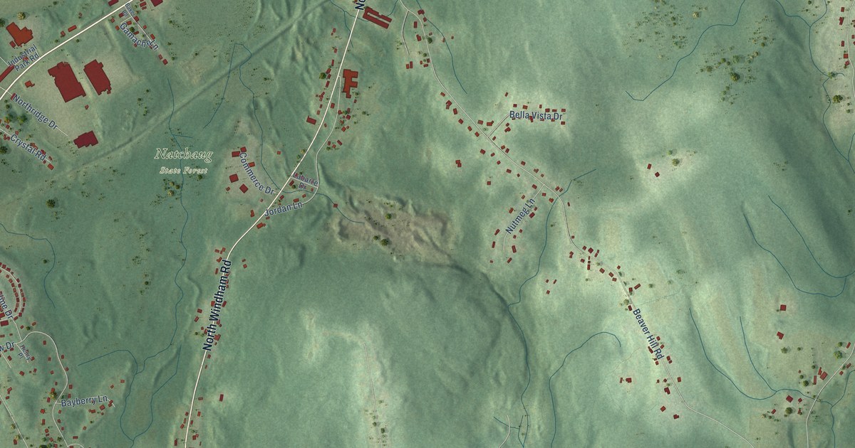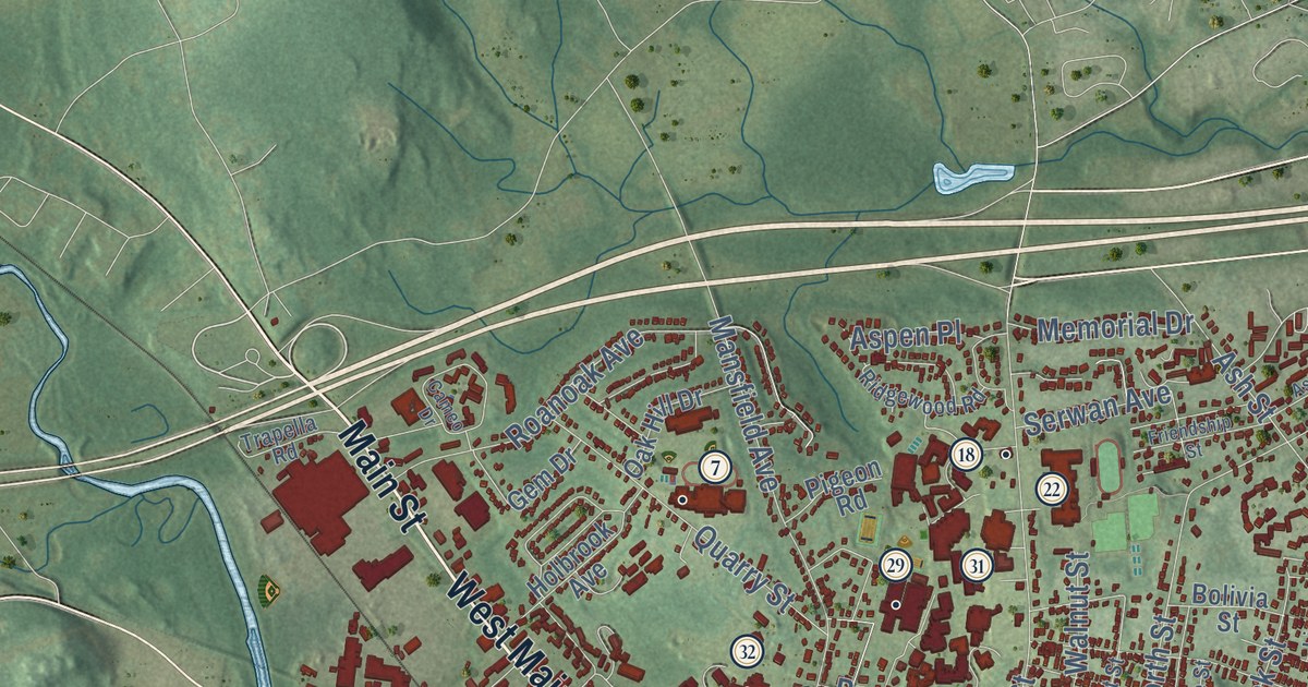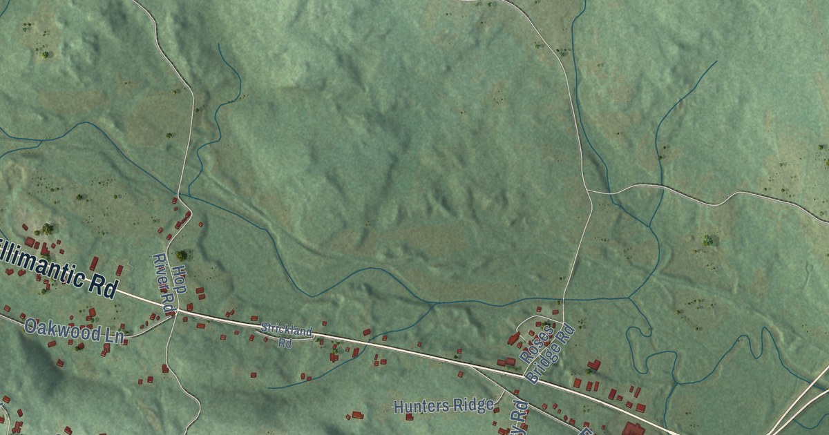
This beautifully detailed map of Columbia, Connecticut was created in 2026 using aerial imagery combined with modern topographical, census, street and landmark data. It’s a one-of-a-kind view of Columbia that combines accurate data with a vintage aesthetic. The map shows every building in its true location, many of the roads carry their names, and the shaded topographic relief shows the shape of the land.
See it on a wall
The Columbia map as an 18 x 24 inch print in a black frame.

Explore an aerial view of Columbia, Connecticut
On the map you’ll find Downtown, Bunker Hill, Chestnut Hill, Clarks Hill, Cooks Hill, Andover Lake, Brousseous Pond, and Utley Hill Preserve, along with Willimantic Road, Middletown Road, Jonathan Trumbull Highway, West Street, and more. If you look closely you can even find your house accurately drawn in its correct location. Zoom in on the preview to look for yours. Click here to learn more about the history of Columbia.
Take a closer look at the Columbia map
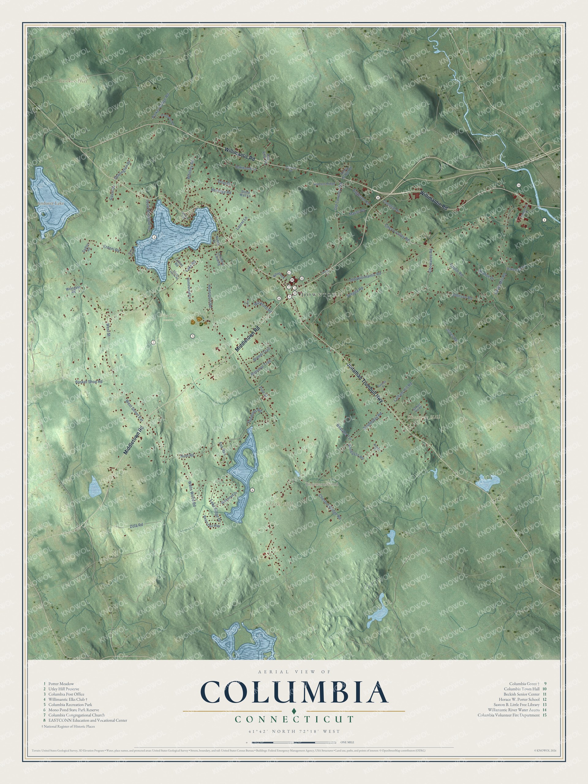
Click to explore a larger preview. The digital watermark does not appear on printed maps.
Names on this map
These names are printed on this map.
Places: Downtown, Bunker Hill, Chestnut Hill, Clarks Hill, Cooks Hill, Andover Lake, Brousseous Pond, Utley Hill Preserve and Lakeview Park.
Streets and roads: Willimantic Road, Middletown Road, Jonathan Trumbull Highway, West Street, Macht Road, West Street Extension, Cards Mill Road, Latham Hill Road, Old Coventry Road, Russmar Trail, Pine Street, Old Willimantic Road.
More street names, A to Z
Baker Hill Road, Basket Shop Road, Bears Den Way, Beaudet Terrace, Brendi Trail, Cherry Valley Road, Chesbro Bridge Road, Chowanec Road, Collins Road, Colonial Drive, Columbia Landing, Commerce Drive, Dilaj Drive, Doubleday Road, Edgarton Road, Erdoni Road, Fox Run, Gaulin Road, Gavin Drive, Henniquin Road, Heritage Road, Hilltop Lane, Homestead Lane, Hop River Road, Hunters Ridge, Hunt Road, Johnson Road, Jones Road, Lake Ridge Drive, Lake Road, Laurel Lane, Nuhfer Drive, Oakwood Lane, Parker Bridge Road, Randazzo Road, Robert Drive, Roses Bridge Road, Sadlon Road, Samuel Hill Road, Scalise Drive, Sharington Drive, Sleepy Hollow Road, Stone Wall Lane, Strickland Road, Sunny Slopes, Sunrise Drive, Szegda Road, Tunxis Drive, Upper Woodland Terrace, Wells Wood Road, Westgate Road, Wheelock, Whitney Road, Wickford Road, Wildwood Drive, Woodward Road, Yeomans Road, Zola Road.
This beautifully detailed map of Columbia makes an attractive addition to your office, library, or den, and it can even be used to teach children the geography and history of the area. It also makes a great gift for anyone who grew up in Columbia or moved away. When you’re done exploring, click here to get your copy of the Columbia map.