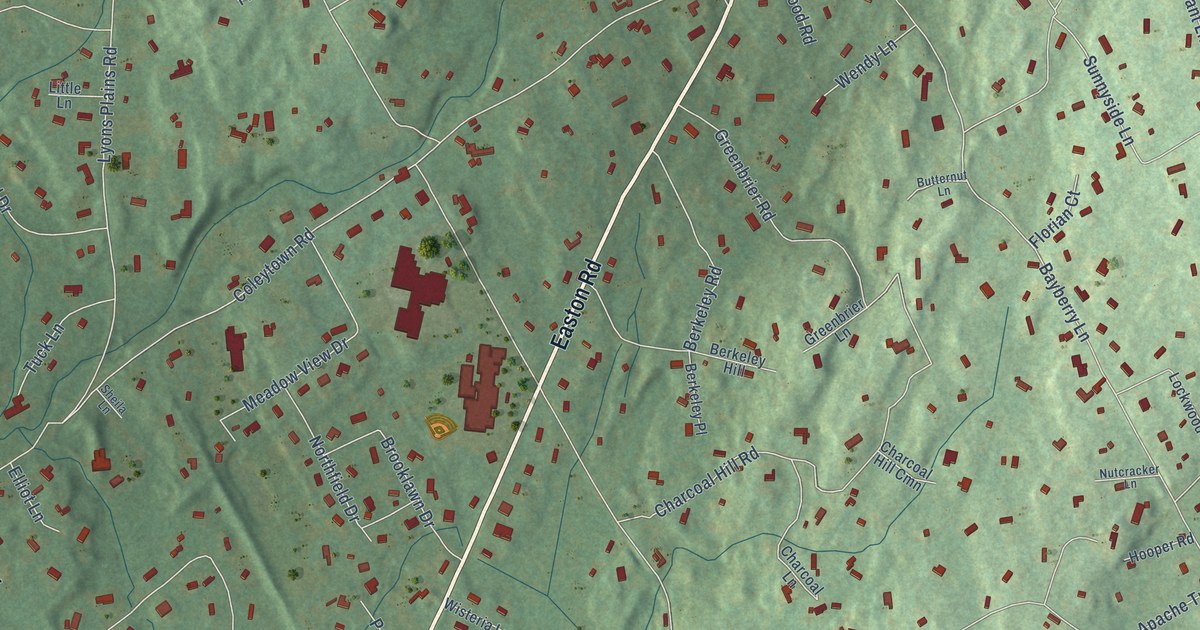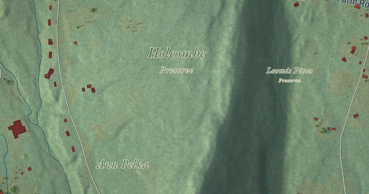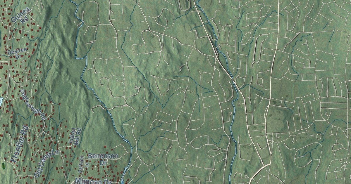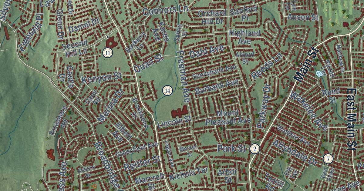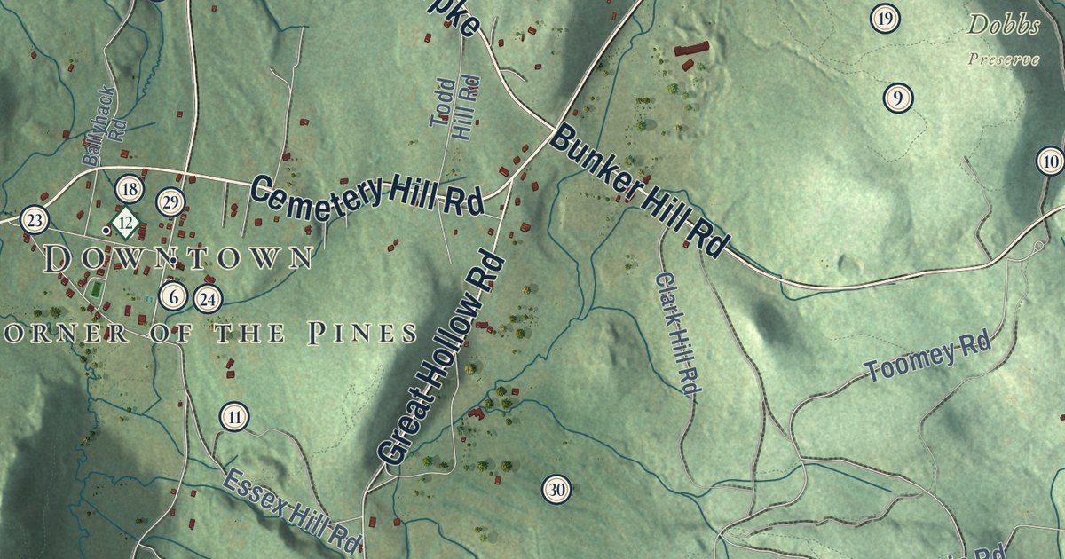
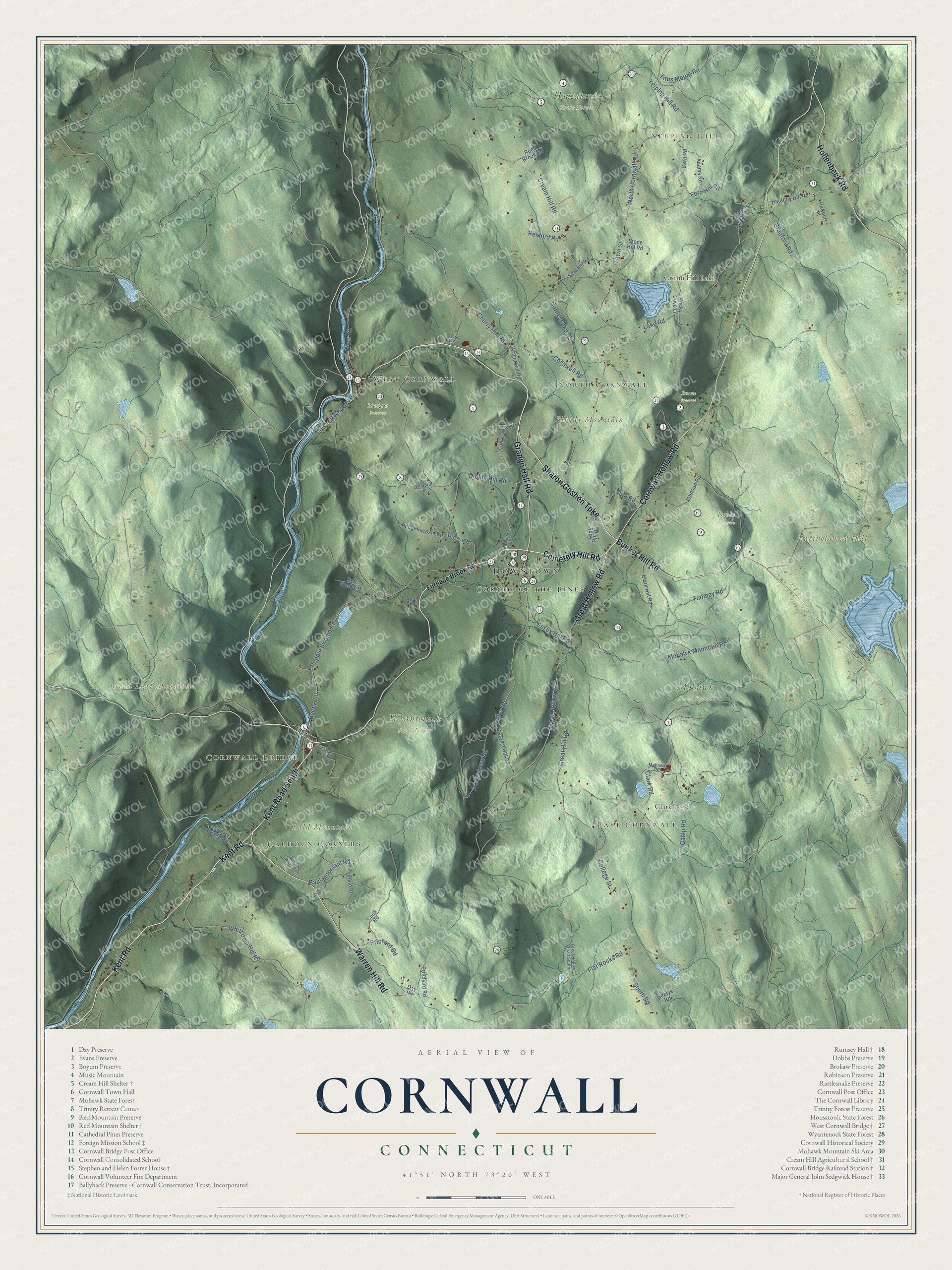
This beautifully detailed map of Cornwall, Connecticut was created in 2026 using aerial imagery combined with modern topographical, census, street and landmark data. It’s a one-of-a-kind view of Cornwall that combines accurate data with a vintage aesthetic. The map shows every building in its true location, many of the roads carry their names, and the shaded topographic relief shows the shape of the land.
See it on a wall
The Cornwall map as an 18 x 24 inch print in a black frame.

Explore an aerial view of Cornwall, Connecticut
On the map you’ll find Downtown, Calhoun Corners, Yelping Hill, Cornwall Bridge, East Cornwall, Bald Mountain, Bartholomew Hill, Bloody Mountain, Bread Loaf Mountain, Clark Pond, Cream Hill Lake, Brokaw Preserve, and more. If you look closely you can even find your house accurately drawn in its correct location. Zoom in on the preview to look for yours. Click here to learn more about the history of Cornwall.
Take a closer look at the Cornwall map
Click to explore a larger preview. The digital watermark does not appear on printed maps.
Names on this map
These names are printed on this map.
Places: Downtown, Calhoun Corners, Yelping Hill, Cornwall Bridge, East Cornwall, Bald Mountain, Bartholomew Hill, Bloody Mountain, Bread Loaf Mountain, Clark Pond, Cream Hill Lake, Brokaw Preserve, Dobbs Preserve, Evans Preserve, Housatonic State Forest, Mohawk State Forest, Wyantenock State Forest, North Cornwall, Corner of the Pines and West Cornwall.
Streets and roads: Cemetery Hill Road, Kent Road, Hollenbeck Road, Sharon Goshen Turnpike, Bunker Hill Road, Warren Hill Road, Cornwall Hollow Road, Kent Road South, Grange Hall Road, Great Hollow Road, Ford Hill Road, River Road.
More street names, A to Z
Adams Road, Bald Mountain Road, Ballyhack Road, Barn Road, Beers Hill, Bell Road Extension, Bradford Road, Camp Road, Cherry Hill Road, Clark Hill Road, Clark Road, Cobble Hill Road, Cogswell Road, College Street, Cook Road, Cream Hill Road, Dark Entry Road, Day Road, Dibble Hill Road, Dudleytown Road, Essex Hill Road, Everest Hill Road, Flat Rocks Road, Fox Road, Furnace Brook Road, Great Hill Road, Great Hollow Road South, Hall Road, Hart Hill Road, Hautboy Hill Road, Hurlburt Place, Johnson Road, Lake Road, Lower River Road, Mohawk Mountain Road, Mohawk Road, North Cornwall Road, Pierce Lane, Pond Road, Popple Swamp Road, Poughkeepsie Road, Prichard Road, Pritchard Road, Rattlesnake Road, Reed Brook Road, Rexford Road, Rocky Cove Lane, Scoville Road, Seelye Road, South Road, Stone Hill Road, Swifts Bridge Road, Titus Mount Road, Todd Hill Road, Toomey Road, Town Street, Valley Road, West Drive, Whitcomb Hill Road, Windy Ways Road, Woodruff Lane, Wright Hill Road, Yelping Hill Road.
This beautifully detailed map of Cornwall makes an attractive addition to your office, library, or den, and it can even be used to teach children the geography and history of the area. It also makes a great gift for someone who left Cornwall and still calls it home. When you’re done exploring, click here to get your copy of the Cornwall map.