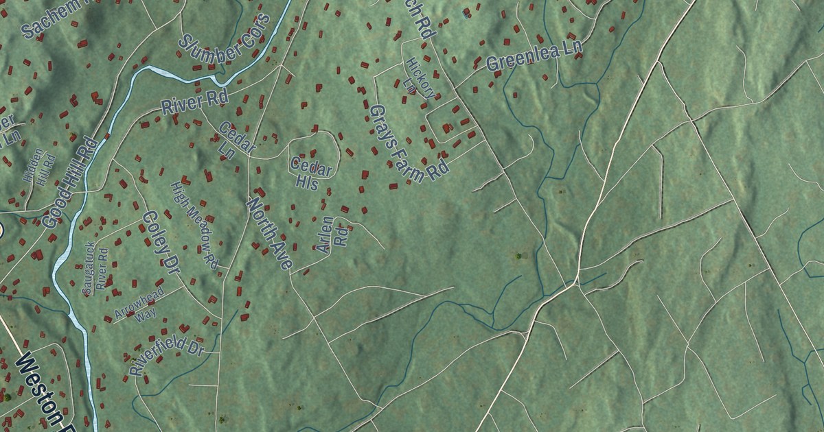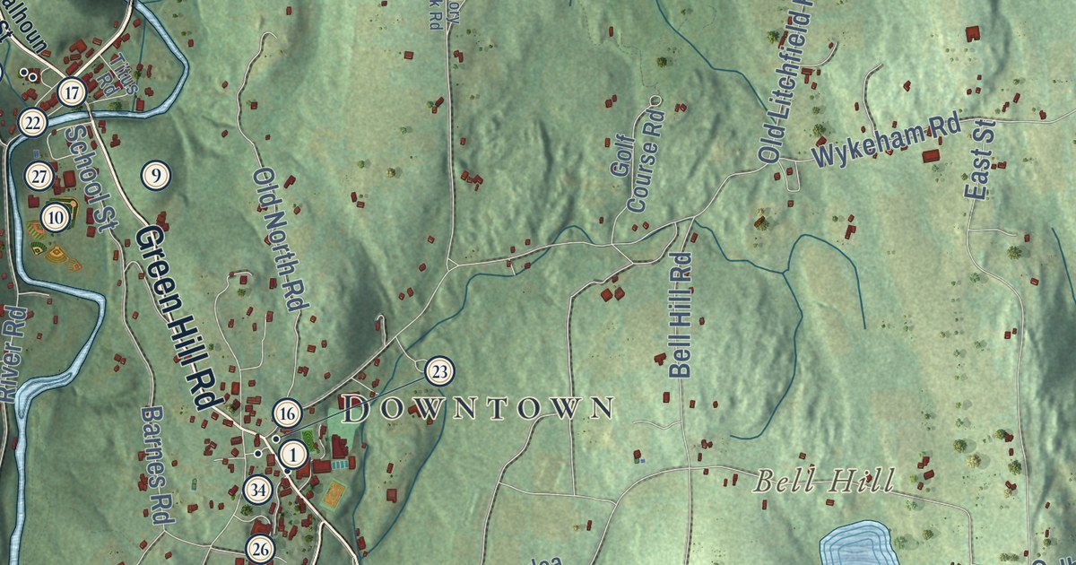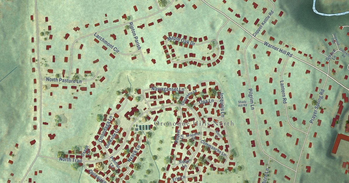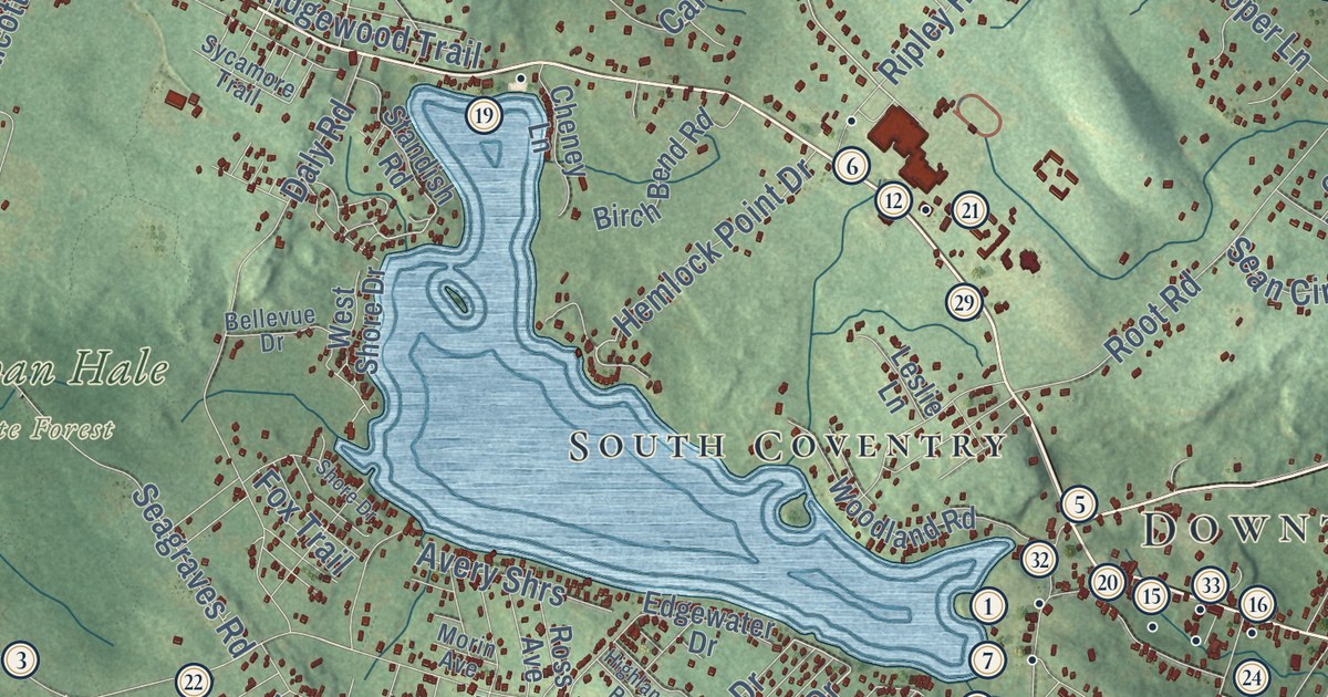
This beautifully detailed map of Coventry, Connecticut was created in 2026 using aerial imagery combined with modern topographical, census, street and landmark data. It’s a one-of-a-kind view of Coventry that combines accurate data with a vintage aesthetic. The map shows every building in its true location, many of the roads carry their names, and the shaded topographic relief shows the shape of the land.
See it on a wall
The Coventry map as an 18 x 24 inch print in a black frame.

Explore an aerial view of Coventry, Connecticut
On the map you’ll find Downtown, Ball Hill, Bunker Hill, Cassidy Hill, Grant Hill, Andover Lake, Decew Pond, Nathan Hale State Forest, North Coventry, and South Coventry, along with Stonehouse Road, Main Street, and more. If you look closely you can even find your house accurately drawn in its correct location. Zoom in on the preview to look for yours. Click here to learn more about the history of Coventry.
Take a closer look at the Coventry map
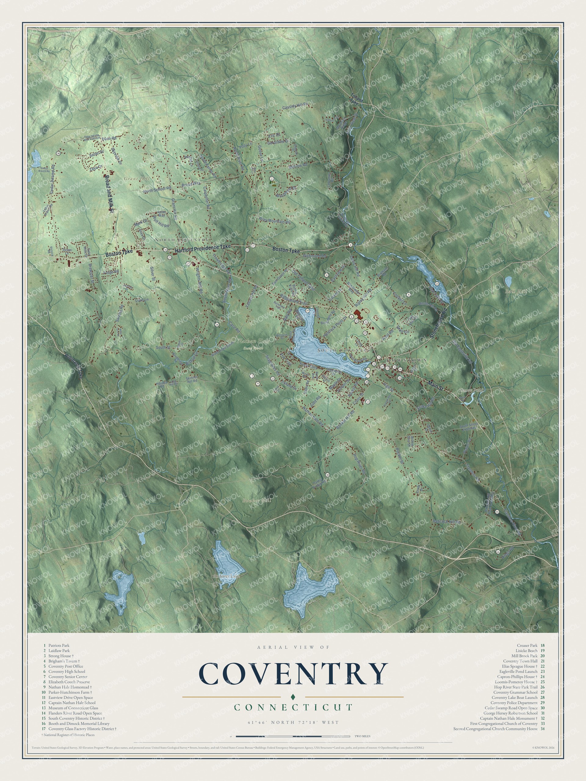
Click to explore a larger preview. The digital watermark does not appear on printed maps.
Names on this map
These names are printed on this map.
Places: Downtown, Ball Hill, Bunker Hill, Cassidy Hill, Grant Hill, Andover Lake, Decew Pond, Nathan Hale State Forest, North Coventry and South Coventry.
Streets and roads: Stonehouse Road, Main Street, Boston Turnpike, Hartford Providence Turnpike, Bread and Milk Street, Juniper Drive, Carver Lane, Snake Hill Road, Cedar Swamp Road, Flanders Road, South Street, North River Road.
More street names, A to Z
Adelma Drive, Alice Drive, Apian Way, Avery Shrs, Babcock Hill Road, Babcock Hill Road Extended, Bellevue Drive, Birch Bend Road, Bishop Lane, Bolton Branch Road, Brewster Street, Brigham Road, Brigham Tavern Road, Broad Way, Buena Vista Road, Bunker Hill Road, Carol Drive, Carpenter Road, Case Road, Cassidy Hill Road, Cedar Swamp Road Extended, Cheney Lane, Cindy Drive, Cooper Lane, Cross Street, Daly Road, Deborah Drive, Deer Hill Lane, Depot Road, Dunn Road, Eastview Drive, Edgewater Drive, Eric Drive, Flanders River Road, Folly Lane, Forest Road, Forge Road, Fox Trail, Gable Road, Geraldine Drive, Goose Lane, Grant Hill Road, Hannah Lane, Hemlock Point Drive, Hendee Road, Highland Road, High Street, Hop River Road, Ireland Drive, Joshua Lane, Judd Road, Kings Road, Lancaster Road, Leslie Lane, Lewis Hill Road, Long Hill Road, Love Lane, Majus Drive, Maple Drive, Mark Drive, Merrow Road, Miller Farm Road, Morin Avenue, Mountain Ridge, Nathan Hale Road, North Farms Road, North School Road, Oak Leaf Circle, Old Eagleville Road, Old Tolland Turnpike, Parker Bridge Road, Pine Lake Drive, Plains Road, Pucker Street, Richmond Road, Ridgewood Trail, Riley Mountain Road, Ripley Hill Road, River Road South, River View Drive, Root Road, Ross Avenue, Sam Green Road, Satari Drive, School Street, Seagraves Road, Sean Circle, Shore Drive, Silver Street, Skinner Hill Road, Skyview Drive, South River Road, South Street Extended, Standish Road, Stonebridge Road, Susan Lane, Swamp Road, Sycamore Trail, Talcott Hill Road, Timber Trail, Tolland Turnpike, Trowbridge Road, Twin Hills Drive, Upton Drive, Vernon Branch Road, Victoria Road, West Shore Drive, Whites Hill Road, Willimantic Turnpike, Willow Glen Drive, Windswept Way, Wolf Hill Road, Woodbridge Road, Woodland Road, Woodmont Drive, Wrights Mill Road, Zeya Drive.
This beautifully detailed map of Coventry makes an attractive addition to your office, library, or den, and it can even be used to teach children the geography and history of the area. It also makes a great gift for anyone who grew up in Coventry or moved away. When you’re done exploring, click here to get your copy of the Coventry map.