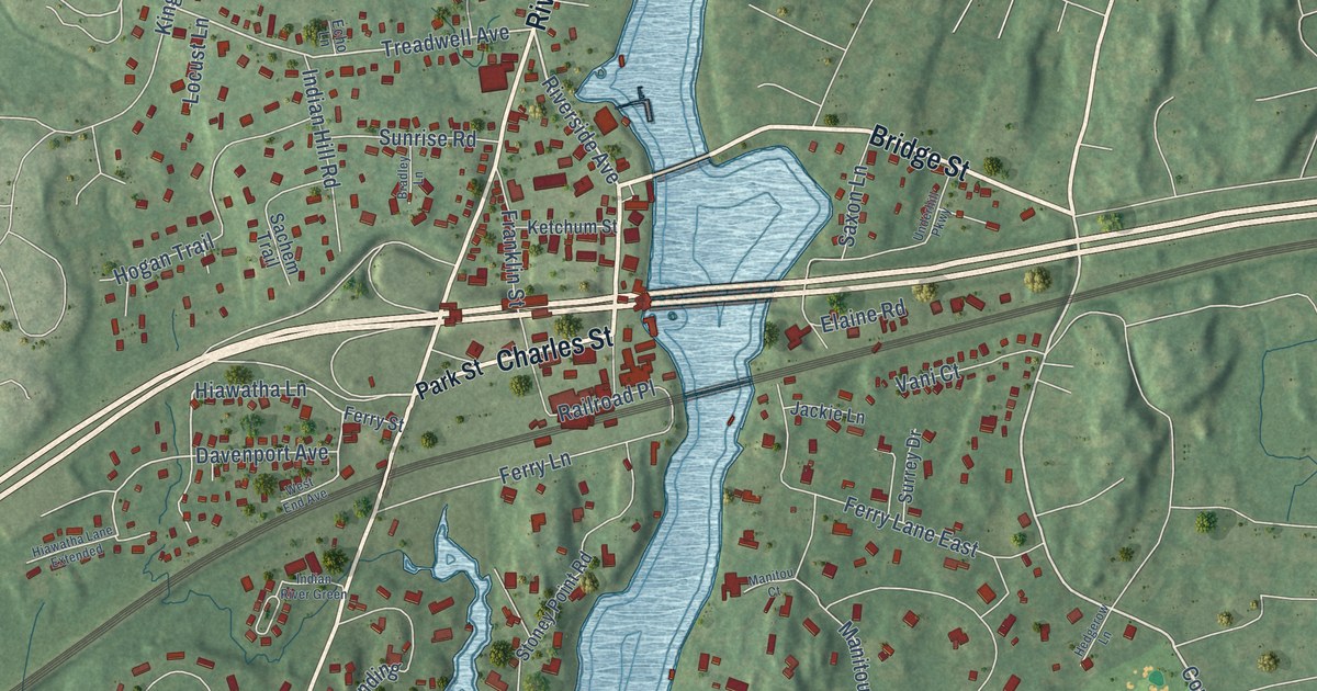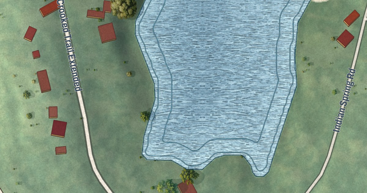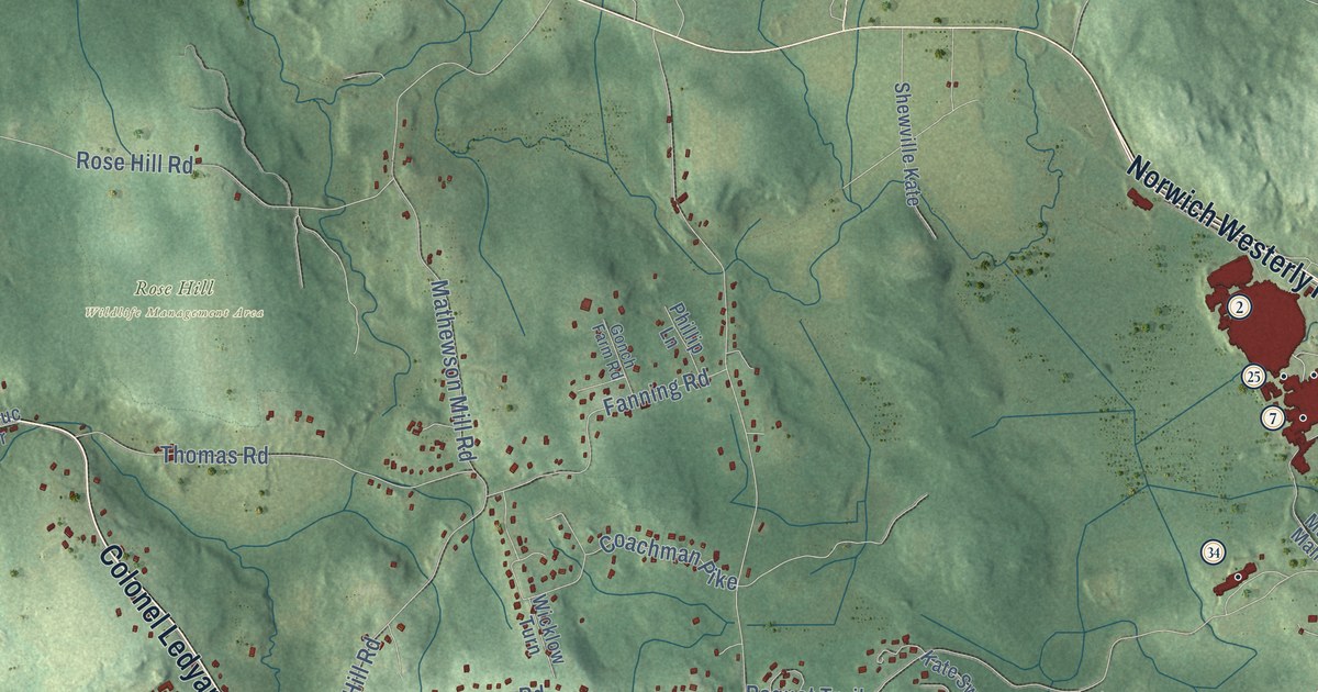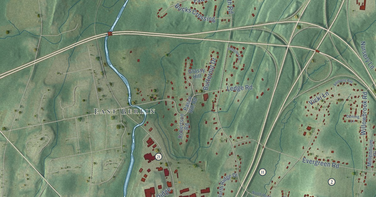
This beautifully detailed map of Cromwell, Connecticut was created in 2026 using aerial imagery combined with modern topographical, census, street and landmark data. It’s a one-of-a-kind view of Cromwell that combines accurate data with a vintage aesthetic. The map shows every building in its true location, many of the roads carry their names, and the shaded topographic relief shows the shape of the land.
See it on a wall
The Cromwell map as an 18 x 24 inch print in a black frame.

Explore an aerial view of Cromwell, Connecticut
On the map you’ll find Downtown, Mustard Bowl, Nooks Hill, Ice House Pond, River Highlands State Park, Watrous Park, East Berlin, Cromwell Hills, Oxford Park, Goodrich Heights, North Cromwell, Fox Meadows, and more. If you look closely you can even find your house accurately drawn in its correct location. Zoom in on the preview to look for yours. Click here to learn more about the history of Cromwell.
Take a closer look at the Cromwell map
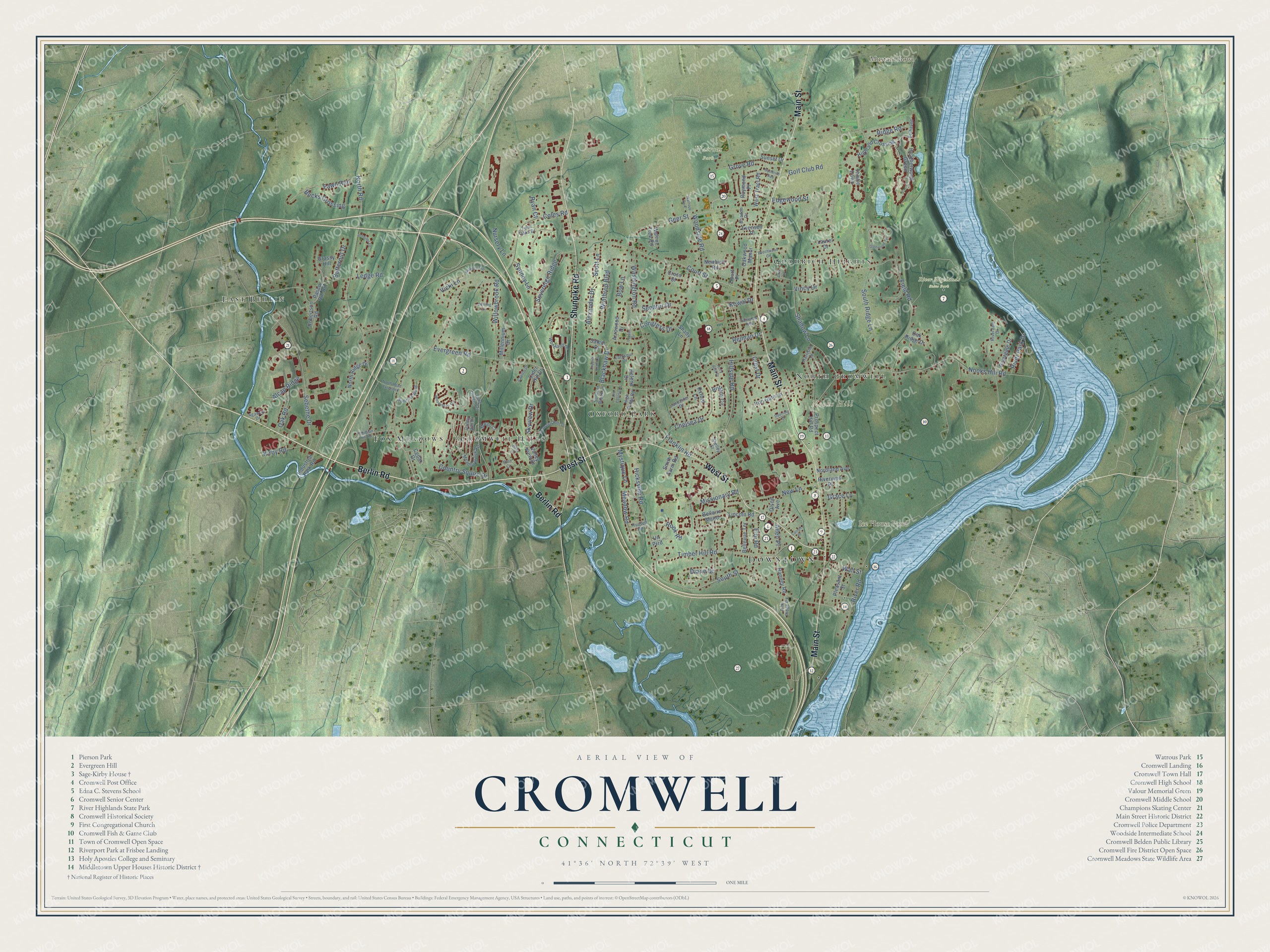
Click to explore a larger preview. The digital watermark does not appear on printed maps.
Names on this map
These names are printed on this map.
Places: Downtown, Mustard Bowl, Nooks Hill, Ice House Pond, River Highlands State Park, Watrous Park, East Berlin, Cromwell Hills, Oxford Park, Goodrich Heights, North Cromwell and Fox Meadows.
Streets and roads: Berlin Road, Main Street, Shunpike Road, West Street, Evergreen Road, Coles Road, Nooks Hill Road, Field Road, North Road, South Street, Willowbrook Road, Washington Road.
More street names, A to Z
Agawam Drive, Alcap Ridge, Alexander Drive, Allen Place, Amy Lane, Anthony Avenue, Arrowood Drive, Beechwood Circle, Belhaven, Bellaire Manor, Bellevue Terrace, Blackhaw Drive, Bow Lane, Briadon Drive, Brittany Circle, Bucks Crossing, Butternut Drive, Capilos Drive, Carroll Place, Cedar Drive, Chelsea Drive, Christian Hill Road, Cider Hill Drive, Congress Drive, Copper Knoll Lane, Country Squire Drive, Court Place, Court Street, Crest Drive, Cromwell Hills Drive, Cross Street, Deming Lane, Diane Drive, Doerring Drive, Edgewood Street, Elm Road, Evensen Place, Fairview Heights, Fawn Run, Franklin Road, Geer Street, Glenwood Terrace, Golf Club Road, Goodrich Avenue, Grace Lane, Grassy Hill, Grove Road, Harrison Drive, Heatherwood Green, Helena Drive, Hicksville Road, Highland Crossing, High Ridge Road, Hillside Road, Holly Court, Holly Hills Drive, Industrial Park Road, Iron Gate Lane, Jennifer Lane, Kirby Road, Kowal Drive, Lancaster Drive, Larkspur Drive, Laurel Drive, Ledge Road, Lincoln Road, Long Green Terrace, Loquat Drive, Margo Court, Meadowbrook Road, Meadow Road, Millennium Drive, Missionary Road, Mystique Lane, Newbury Road, New Lane, Nordland Avenue, North Ridge Drive, North Road Extended, Nursery Lane, Oak Ridge Drive, Oak Road, Oakwood Manor, Old Colony Lane, Olson Avenue, Oxford Lane, Pasco Hill Road, Pine Court, Pine Ridge Road, Pleasant Street, Prospect Hill Road, Ranney Road, Raymond Place, Reiman Drive, Ridge Road, Riverdale Drive, Rivergate Drive, River Park Drive, River Road, Riverview Place, Robertson Road, Rook Road, Russell Road, Ryan Court, Salem Drive, Scott Lane, Sebethe Drive, Senator Drive, Shadow Lane, Shady Lane, Shelley Street, Skyview Drive, Smith Farm Road, South Ridge Lane, Sovereign Ridge, Summer Brook Lane, Summer Wind, Sunset Drive, Sydney Lane, Thistle Down, Timber Hill Road, Twin Oaks Drive, Un Prrd, Valley Run Drive, Valley View Drive, Vicki Lane, Vincy Drive, Wall Street, Walnut Tree Road, West Tract Road, Winthrop Boulevard, Woodland Drive, Woodsboro Circle, Woodside Road.
This beautifully detailed map of Cromwell makes an attractive addition to your office, library, or den, and it can even be used to teach children the geography and history of the area. It also makes a great gift for someone who left Cromwell and still calls it home. When you’re done exploring, click here to get your copy of the Cromwell map.