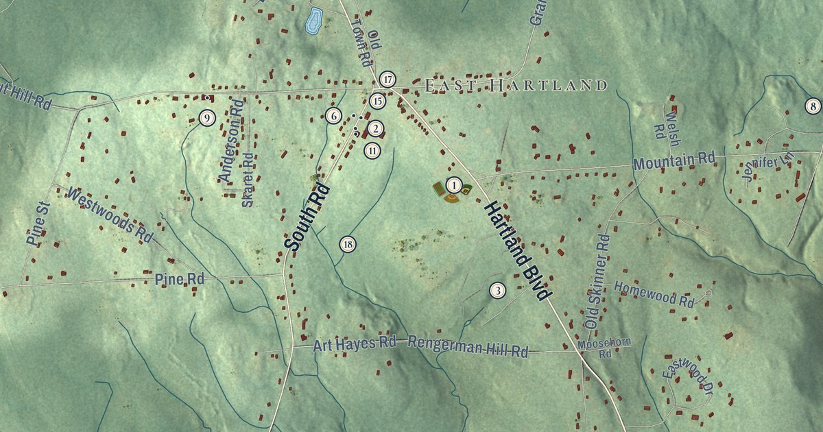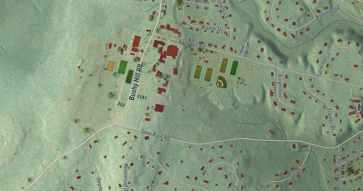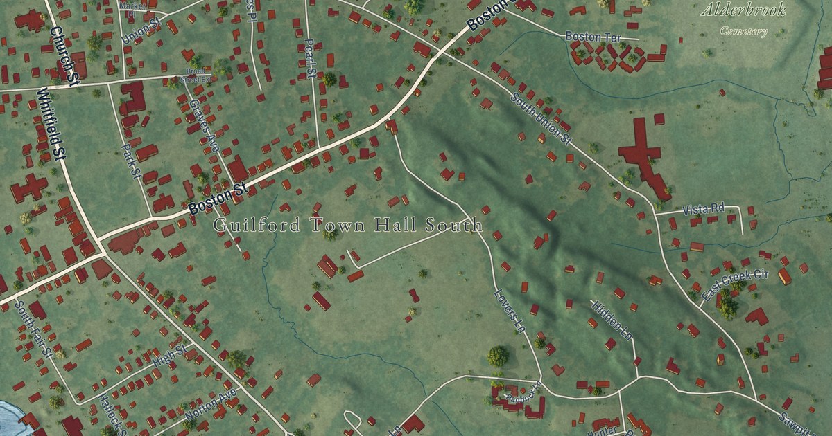
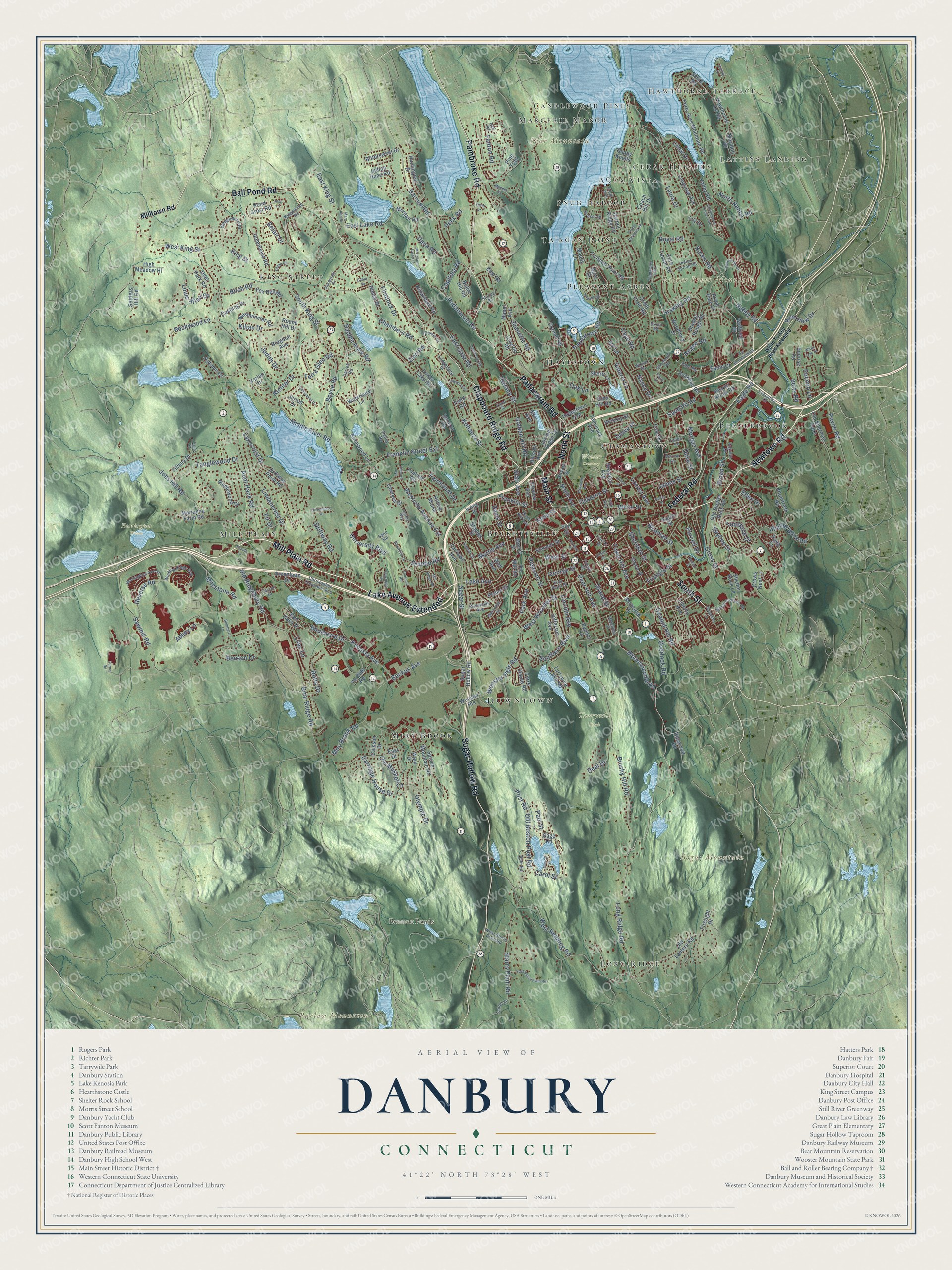
This beautifully detailed map of Danbury, Connecticut was created in 2026 using aerial imagery combined with modern topographical, census, street and landmark data. It’s a one-of-a-kind view of Danbury that combines accurate data with a vintage aesthetic. The map shows every building in its true location, many of the roads carry their names, and the shaded topographic relief shows the shape of the land.
See it on a wall
The Danbury map as an 18 x 24 inch print in a black frame.

Explore an aerial view of Danbury, Connecticut
On the map you’ll find Downtown, Barlow Mountain, Bear Mountain, Beaver Brook Mountain, Bogus Mountain, Bennett Ponds, Farrington Woods, Tarrywile Park, Wooster Cemetery, and Beaverbrook, along with Hawthorne Terrace, King Street, and more. If you look closely you can even find your house accurately drawn in its correct location. Zoom in on the preview to look for yours. Click here to learn more about the history of Danbury.
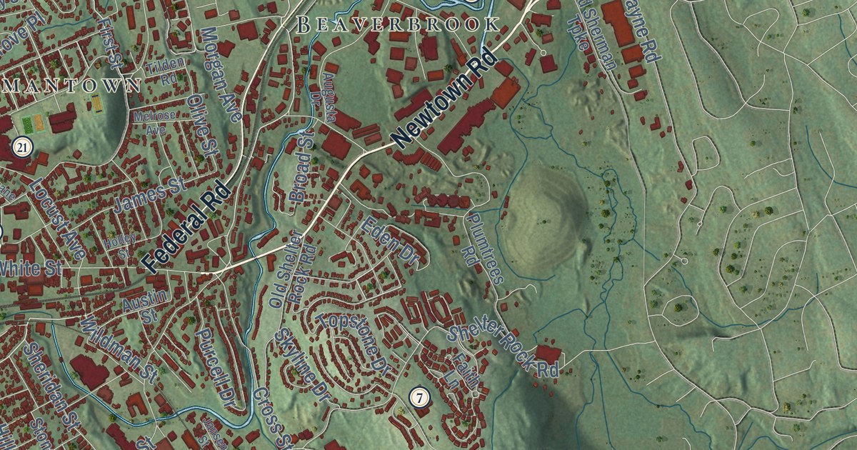
Take a closer look at the Danbury map
Click to explore a larger preview. The digital watermark does not appear on printed maps.
Names on this map
These names are printed on this map.
Places: Downtown, Hawthorne Terrace, Barlow Mountain, Bear Mountain, Beaver Brook Mountain, Bogus Mountain, Bennett Ponds, Farrington Woods, Tarrywile Park, Wooster Cemetery, King Street, Beaverbrook, Long Ridge, Miry Brook, Beckettville, Mill Plain, Cedar Heights, Ta'agan Point, Candlewood Pines, Germantown, Aqua Vista, Pleasant Acres, Snug Harbor, Lattins Landing, Margerie Manor, Hayestown and Candlewood Trailer Park.
Streets and roads: Mill Plain Road, Newtown Road, Lake Avenue Extended, Clapboard Ridge Road, Federal Road, Sugar Hollow Road, Main Street, Pembroke Road, Ball Pond Road, Padanaram Road, South Street, North Street.
More street names, A to Z
Abbey Lane, Acre Drive, Alan Avenue, Alan Road, Augusta Drive, Aunt Hack Road, Austin Street, Autumn Drive, Backus Avenue, Barnum Road, Beaver Brook Road, Belair Drive, Benson Drive, Betts Road, Birch Road, Birchwood Lane, Bittersweet Drive, Blueberry Lane, Boulevard Drive, Boxwood Lane, Boyce Road, Bragdon Avenue, Briar Ridge Road, Broad Street, Brushy Hill Road, Bullet Hill Road, Caisson Drive, Capitola Road, Carla Drive, Carol Street, Carriage House Drive, Caye Road, Cedar Drive, Centennial Drive, Center Street, Chambers Road, Chelsea Drive, Christopher Columbus Avenue, Churchill Road, Claremont Avenue, Clayton Road, Coach Hill Drive, Coalpit Hill Road, Cornell Road, Corn Tassle Road, Crane Street, Crest Avenue, Crestdale Road, Cross Street, Crows Nest Lane, Cushing Drive, Damia Drive, Dana Road, Darrell Road, Davis Street, Deal Drive, Deer Hill Avenue, Deer Park Road, Delno Drive, Devonshire Drive, Dixon Road, Dogwood Drive, Driftway Point Road, Driftway Road, Eagle Road, East Drive, East Gate Road, East King Street, East Lake Road, East Pearl Street, East Road, East Starrs Plain Road, Eastwood Road, Eaton Court, Eden Drive, Elizabeth Road, Ellsworth Avenue, Elmar Drive, Elm Street, Executive Drive, Fairlawn Avenue, Fairmount Drive, Faith Lane, Fanton Road, Farm Street, Farview Avenue, Field Road, Fifth Avenue, Filmore Avenue, Fir Drive, Firelight Drive, First Street, Flintlock Drive, Forty Acre Mountain Road, Foster Street, Fox Den Road, Franklin Street, Franklin Street Extension, George Street, Glen Hill Road, Glen Road, Golden Hill Road, Golfview Drive, Grand Street, Great Pasture Road, Great Plain Road, Greenlawn Drive, Grove Place, Harbor Ridge Road, Hawley Road, Hawthorne Cv Road, Hayestown Avenue, Hayestown Road, Henso Drive, Hickory Street, High Meadow Hl, Hillandale Road, Hillside Avenue, Hillside Road, Hilltop Manor, Holley Street, Hospital Avenue, Housman Street, Hull Road, Huntington Drive, Indian Head Road, Indian Spring Road, Irving Place, Ivy Lane, James Street, Jansen Street, Jarrod Drive, Jeanette Road, Jefferson Avenue, Joes Hill Road, Josh Lane, Judith Drive, Juniper Ridge Drive, Karen Road, Kelley Road, Ken Oaks Drive, Kenosia Avenue, Kevin Drive, Kilian Drive, Kingswood Road, Kohanza Street, Lake Avenue, Lakecrest Drive, Larson Drive, Laura Drive, Laurel Lane, Laurel Street, Ledgemere Drive, Liberty Avenue, Liberty Street, Lilac Lane, Lily Drive, Lincoln Avenue, Lindencrest Drive, Locust Avenue, Logans Way, Long Ridge Road, Longview Avenue, Louis Allan Drive, Lower Lake Road, Mabel Avenue, Mannions Lane, Maple Avenue, Maplewood Drive, Marianna Farm Road, Marion Street, Marldon Drive, Mary Ann Drive, Melrose Avenue, Memorial Drive, Mendes Road, Merrimac Street, Middle River Road, Milestone Road, Mill Ridge Road, Milltown Road, Miry Brook Road, Moody Lane, Morgan Avenue, Morgan Road, Morris Street, Mountain Laurel Lane, Mountainville Road, Myrtle Avenue, Nabby Road, Nancy Drive, North Nabby Road, Oak Lane, Oil Mill Road, Old Boston Post Road, Old Brookfield Road, Old Lantern Road, Old Ridgebury Road, Old Shelter Rock Road, Old Sherman Turnpike, Ole Musket Lane, Olive Street, Olympic Drive, Osborne Street, Overlook Road, Park Avenue, Paul Street, Payne Road, Peace Street, Peck Road, Pine Trail, Pleasant Street, Plumtrees Road, Pocono Lane, Pond Crest Road, Post Road, Prindle Lane, Purcell Drive, Ralto Court, Regen Road, Reservoir Road, Reverse Road, Richter Drive, Riverview Drive, Robinhood Road, Rockwell Road, Rockwood Lane, Rolfs Drive, Rose Hill Avenue, Rose Street, Round Hill Drive, Rowan Street, Royal Pine Drive, Royal Road, Ryders Lane, Saddle Rock Road, Sage Road, Sand Pit Road, Sand Road, Sawmill Road, Scuppo Road, Segar Street, Seneca Road, Settlers Hill Road, Shady Knolls, Shelter Rock Lane, Shelter Rock Road, Sheridan Street, Sherry Lane, Shore Road, Silversmith Drive, Skyline Drive, Southern Boulevard, South King Street, Spruce Mountain Road, Stacey Road, Stadley Rough Road, Staples Street, Starr Avenue, Starrs Plain Road, Stevens Street, Stone Street, Sturdevant Drive, Sunrise Road, Sunset Cv, Sunset Drive, Ta Agan Point Road, Tamanny Trail, Tamarack Avenue, Tanglewood Drive, Tarrywile Lake Road, Terrace Place, Terrace Street, Terra Glen Road, Terre Haute Road, Three Partners Road, Tiffany Drive, Tilden Road, Topfield Road, Topstone Drive, Town Hill Avenue, Triangle Street, Turner Road, University Boulevard, Valerie Lane, Valley Road, Varian Drive, Ward Drive, Warrington Round, Waterbury Lane, Wedgewood Drive, Well Avenue, West King Street, Westminster Road, West Redding Road, West Starrs Plain Road, West Street, Westville Avenue Extension, West Wooster Street, White Oak Drive, White Street, White Turkey Road Extended, Wildman Street, Winding Ridge Way, Wixon Road, Woodbury Drive, Wooster Heights, Wooster Hgts Road, Ye Olde Road, Zinn Road.
This beautifully detailed map of Danbury makes an attractive addition to your office, library, or den, and it can even be used to teach children the geography and history of the area. It also makes a great gift for anyone with Danbury roots. When you’re done exploring, click here to get your copy of the Danbury map.