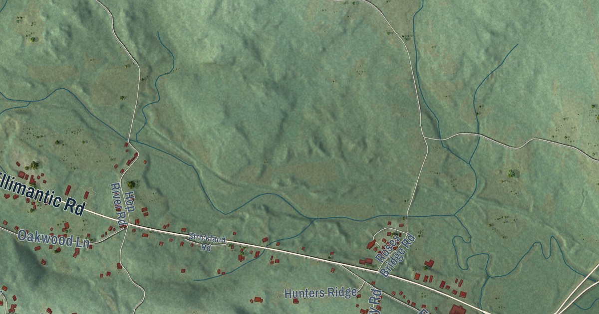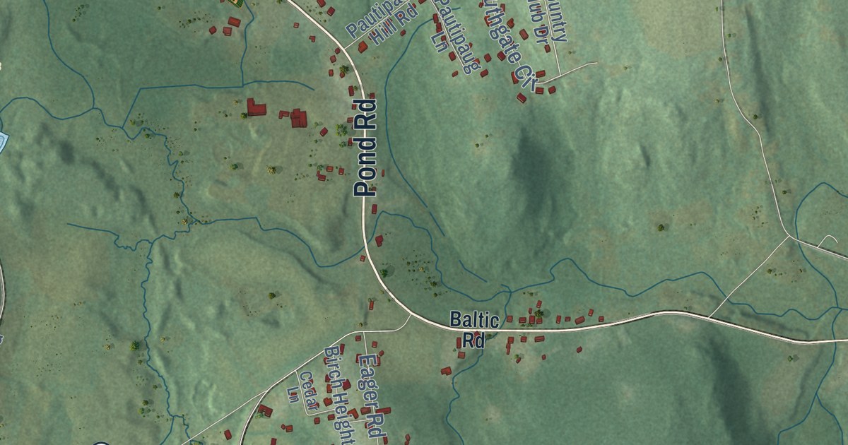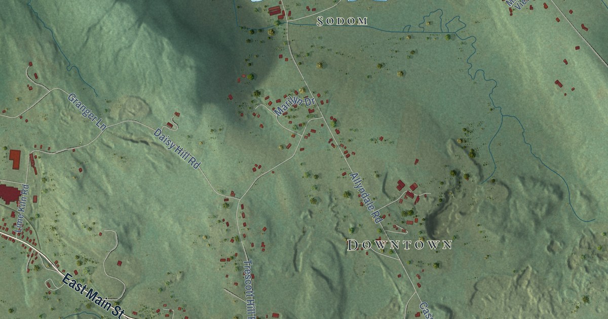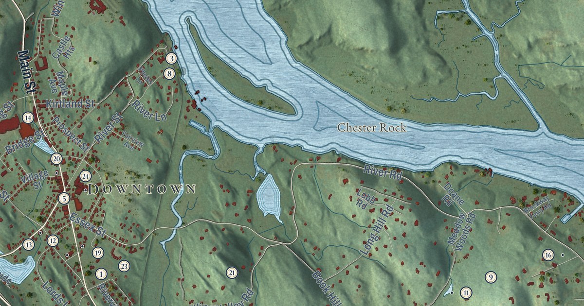
This beautifully detailed map of Deep River, Connecticut was created in 2026 using aerial imagery combined with modern topographical, census, street and landmark data. It’s a one-of-a-kind view of Deep River that combines accurate data with a vintage aesthetic. The map shows every building in its true location, many of the roads carry their names, and the shaded topographic relief shows the shape of the land.
See it on a wall
The Deep River map as an 18 x 24 inch print in a black frame.

Explore an aerial view of Deep River, Connecticut
On the map you’ll find Downtown, Book Hill, Bushy Hill, Chester Rock, Bushy Hill Pond, Comstock Pond, Cockaponset State Forest, Incarnation Center, Lake View, and Winthrop, along with Middlesex Turnpike, Elm Street, and more. If you look closely you can even find your house accurately drawn in its correct location. Zoom in on the preview to look for yours. Click here to learn more about the history of Deep River.
Take a closer look at the Deep River map
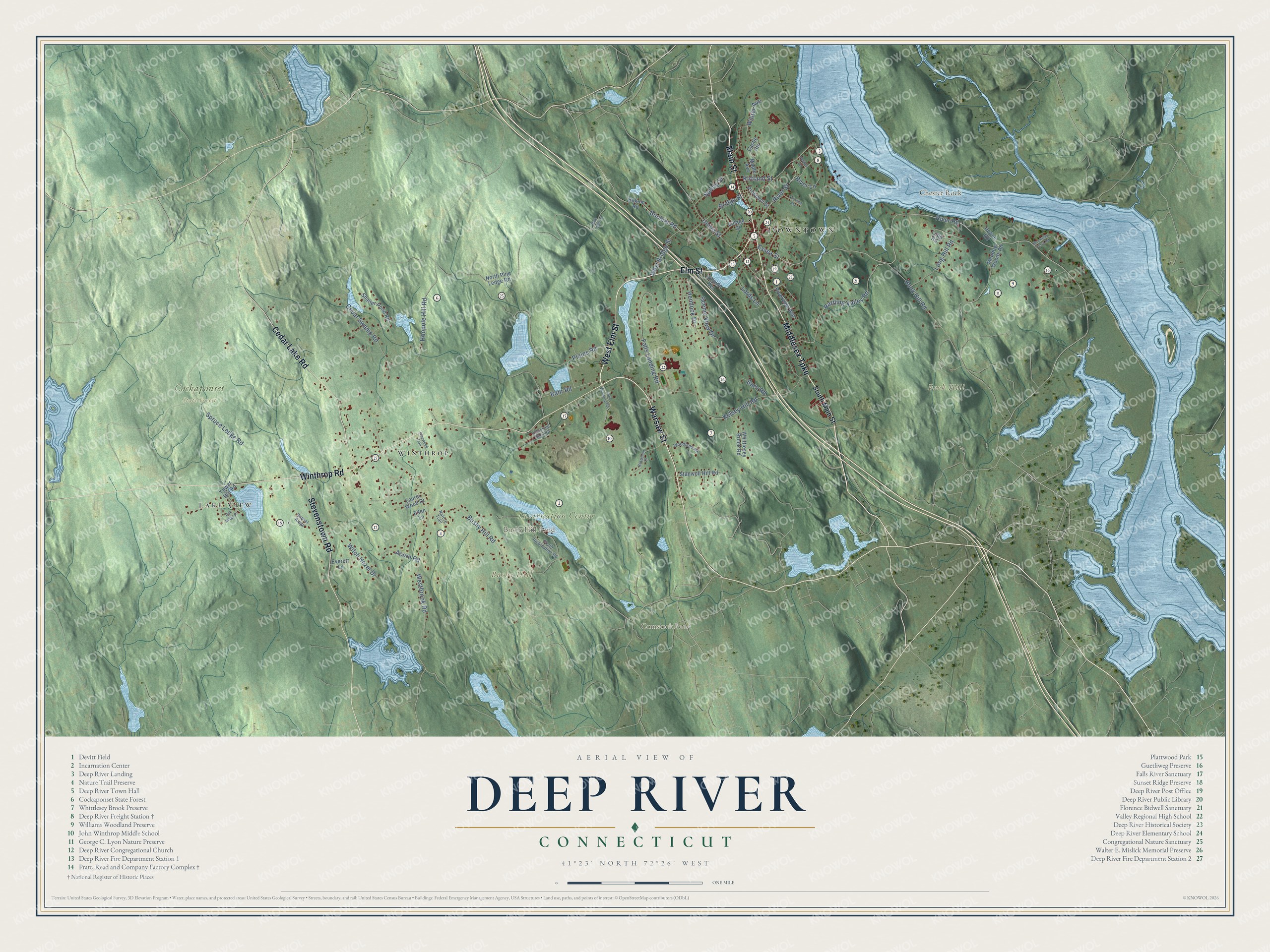
Click to explore a larger preview. The digital watermark does not appear on printed maps.
Names on this map
These names are printed on this map.
Places: Downtown, Book Hill, Bushy Hill, Chester Rock, Bushy Hill Pond, Comstock Pond, Cockaponset State Forest, Incarnation Center, Lake View and Winthrop.
Streets and roads: Middlesex Turnpike, Elm Street, West Elm Street, Main Street, Winthrop Road, Warsaw Street, Cedar Lake Road, Stevenstown Road, River Road, Essex Street, Rattling Valley Road, Union Street.
More street names, A to Z
Acorn Road, Bahr Road, Barn Road, Bochim Road, Bokum Road, Book Hill Road, Bridge Street, Brockway Ferry Road, Bushy Hill Road, Castle Heights, Cedar Swamp Road, Doane Road, Ellen Lane, Everett Lane, Fairview Avenue, Falls Landing Road, Hemlock Drive, Hillside Terrace, Hoopole Hill Road, Industrial Park Road, John Winthrop Road, Kelsey Hill Road, Kirtland Street, Laurel Wood Drive, Lobb Road, Long Hill Road, Lords Lane, Maple Avenue, Meadow Woods Road, Nature Trail, North Pine Ledge Road, Oak Ridge Drive, Phelps Lane, Pine Ledge Road, Pinewood Trail, Plains Road, Prospect Street, River Lane, River Street, Riverview Avenue, Rosemont Drive, Scenic View Drive, Shailer Pond Road, South Incarnation Road, South Main Street, Spring Street, Spruce Ledge Road, Stanwoll Hill Road, Sunset Ridge, Tower Hill Road, Village Street, West Bridge Street, Westbrook Road, Whittlesey Brook Road, Winter Avenue, Witch Hazel Drive, Woodland Road.
This beautifully detailed map of Deep River makes an attractive addition to your office, library, or den, and it can even be used to teach children the geography and history of the area. It also makes a great gift for anyone who grew up in Deep River or moved away. When you’re done exploring, click here to get your copy of the Deep River map.