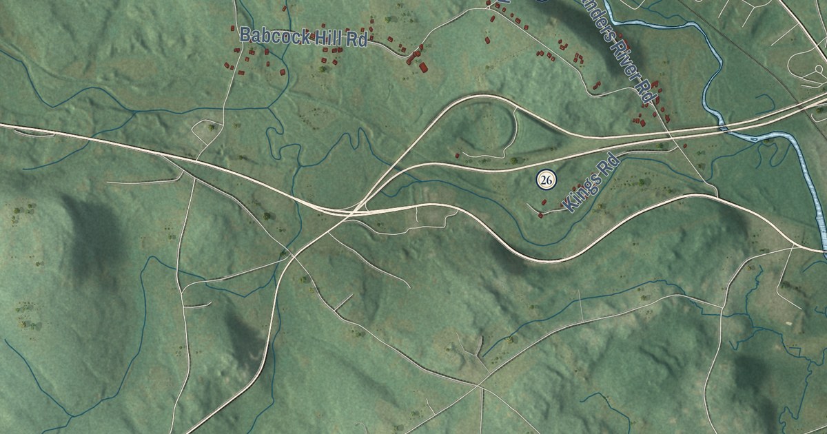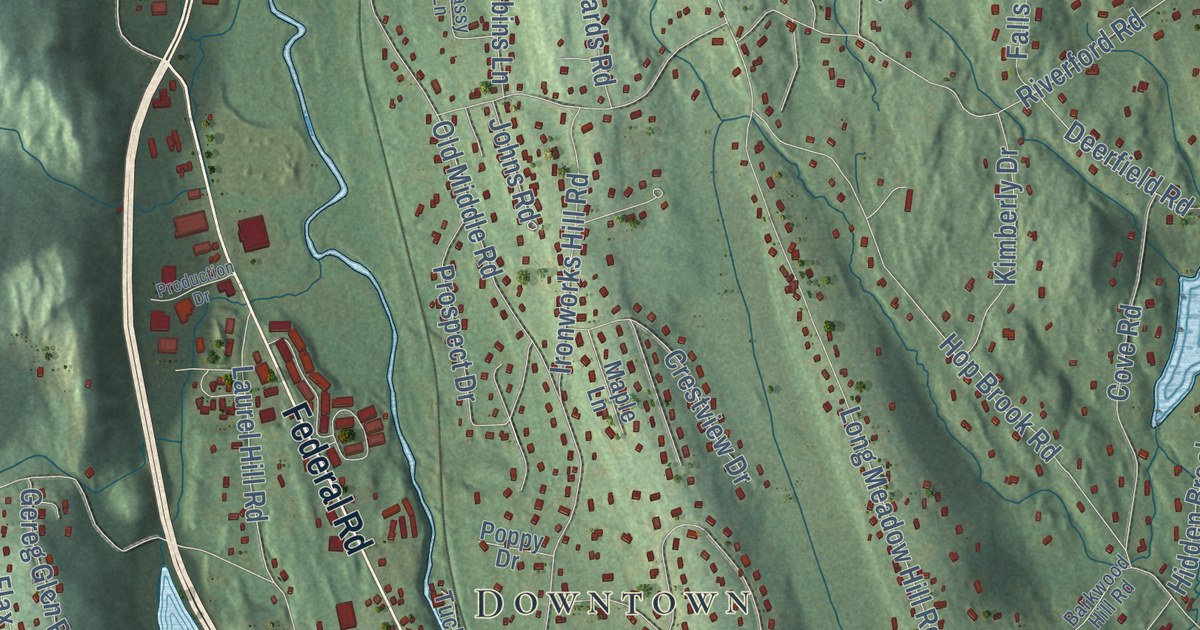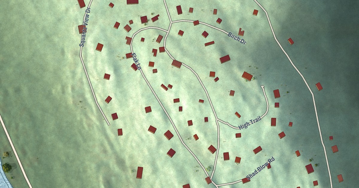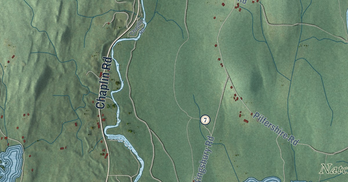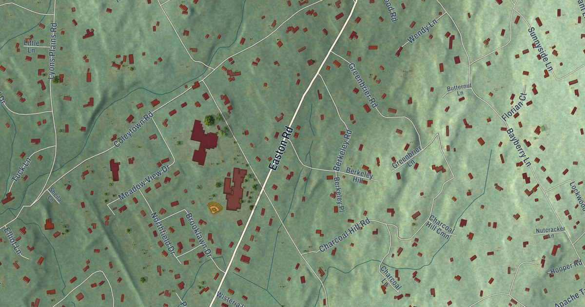
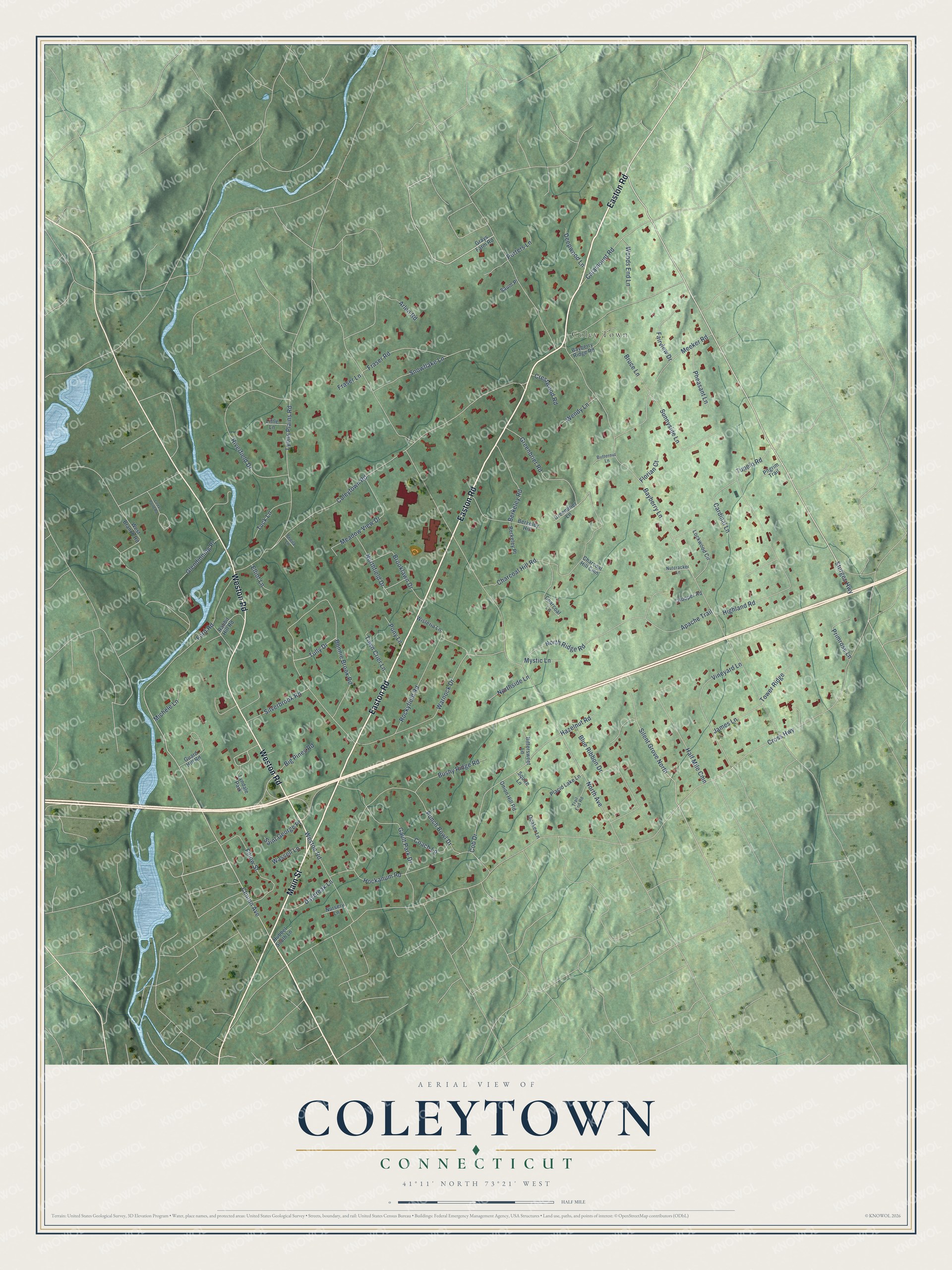
This beautifully detailed map of Coleytown, Connecticut was created in 2026 using aerial imagery combined with modern topographical, census, street and landmark data. It's a modern aerial view of Coleytown in Western Connecticut Planning Region, Connecticut, that combines modern data with a vintage aesthetic. The roads feature printed names, and if you look closely you can find your exact house accurately shown in its correct location.
Explore an aerial view of Coleytown, Connecticut
On this map you'll find Coley Town, Easton Road, Main Street, Weston Road, Sturges Highway, Clinton Avenue, Silent Grove North, Cross Highway, Bayberry Lane, North Avenue, Coleytown Road, Bonnie Brook Road, and more. Each red shape is a building, so zoom in on the preview and look for yours.
Coleytown is a community in Western Connecticut Planning Region. The Census Bureau counted 3,522 people here in 2020. Coleytown sits about 2 miles northwest of Staples, 2 miles east of Poplar Plains and 2 miles north of Westport Village. The map prints the town name in its title panel, with the coordinates below it.
Take a closer look at the Coleytown map
Names on this map
These names are printed on this map.
Places: Coley Town and Lyndale Park.
Streets and roads: Easton Road, Main Street, Weston Road, Sturges Highway, Clinton Avenue, Silent Grove North, Cross Highway, Bayberry Lane, North Avenue, Coleytown Road, Bonnie Brook Road, Lyons Plains Road.
More street names, A to Z
Apache Trail, Arlen Road, Bayberry Ridge Road, Berkeley Hill, Berkeley Place, Berkeley Road, Big Pines Road, Bittersweet Lane, Blue Ribbon Drive, Brooklawn Drive, Bruce Lane, Bushy Ridge Road, Butternut Lane, Cardinal Lane, Catamount Road, Cedar Pond Road, Charcoal Hill Cmn, Charcoal Hill Road, Charcoal Lane, Coach Lane, Cob Drive, Crestwood Road, Daybreak Lane, Deepwood Lane, Elliot Lane, Fairview Drive, Fillow Street, Florian Court, Ford Road, Fraser Lane, Fraser Road, Gault Park Drive, Glendinning Place, Grays Farm Road, Greenbrier Lane, Greenbrier Road, Guard Hill Road, Half Mile Cmn, Hazelnut Road, Highland Road, Hockanum Road, Hooper Road, Hubbel South Lane, James Lane, Little Lane, Lockwood Circle, Meadow View Drive, Meeker Road, Michele Lane, Mystic Lane, Northfield Drive, North Ridge Road, Northside Lane, Nursery Lane, Nutcracker Lane, Onion Hill Road, Pheasant Lane, Pilgrim Trail, Placid Lake Lane, Pony Lane, Porters Lane, Primrose Lane, Punch Bowl Drive, Quaker Lane, Rabbit Hill Road, Riverfield Drive, Rockyfield Road, Saint George Place, Saum Place, Sheila Lane, Silverbrook Road, Snowflake Lane, Squire Lane, Sunnyside Lane, Tower Ridge, Town Crier Lane, Trail End Road, Tuck Lane, Tully Drive, Tupelo Road, Vineyard Lane, Warnock Drive, Wassell Lane, Wendy Lane, West Branch Road, Wisteria Lane, Woods End Lane.
See it on a wall
The Coleytown map as a framed print. Swipe for more.


Created by KNOWOL in 2026. The buildings are small red shapes, the roads carry their printed names, and shaded relief shows the shape of the land. The title panel reads "AERIAL VIEW OF COLEYTOWN, CONNECTICUT" with 41°11' NORTH 73°21' WEST.
Hang it in the hallway, the office or the cabin, or give it to someone who left Coleytown and still calls it home. Open the preview and look for a street you know. See sizes and frames for the Coleytown map.