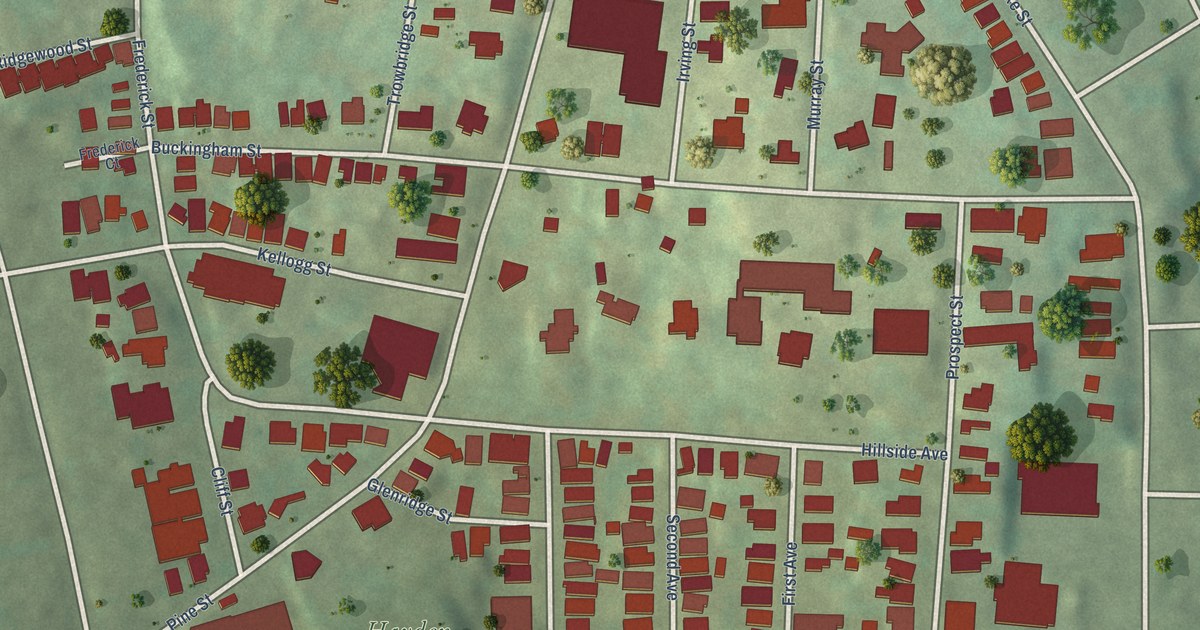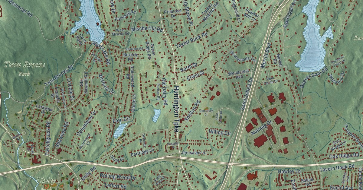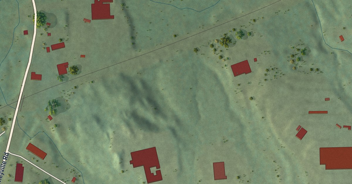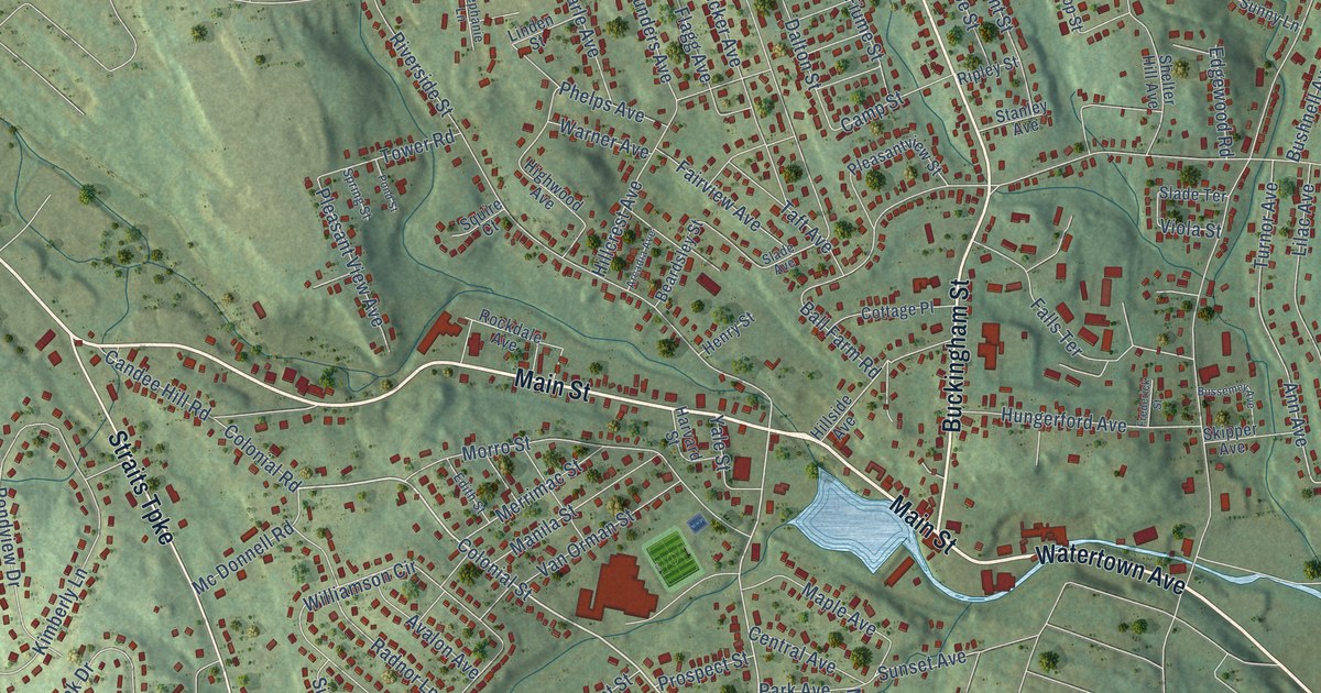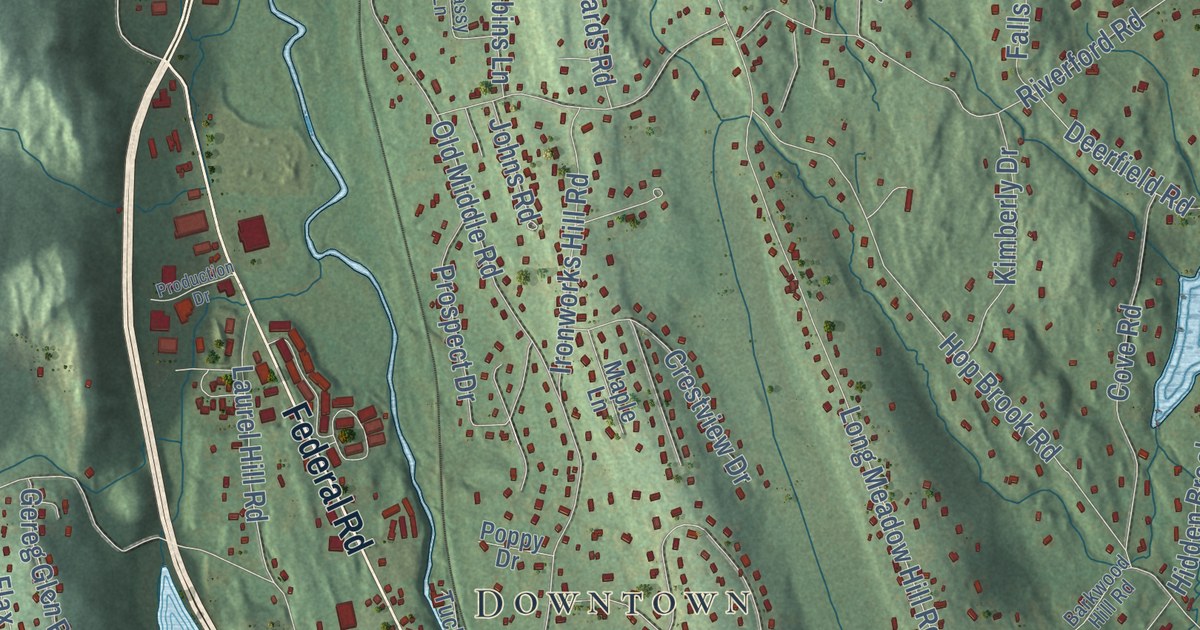
This beautifully detailed map of Brookfield, Connecticut was created in 2026 using aerial imagery combined with modern topographical, census, street and landmark data. It’s a one-of-a-kind view of Brookfield that combines accurate data with a vintage aesthetic. The map shows every building in its true location, many of the roads carry their names, and the shaded topographic relief shows the shape of the land.
See it on a wall
The Brookfield map as an 18 x 24 inch print in a black frame.

Explore an aerial view of Brookfield, Connecticut
On the map you’ll find Downtown, Candlewood Shores, Arrowhead Point, Barnabas Hill, Beaver Brook Mountain, Carmen Hill, Lake Hayward, Wewaka Brook Pond, School Park, Obtuse Hill, Brookfield Center, Candlewood Orchards, and more. If you look closely you can even find your house accurately drawn in its correct location. Zoom in on the preview to look for yours. Click here to learn more about the history of Brookfield.
Take a closer look at the Brookfield map
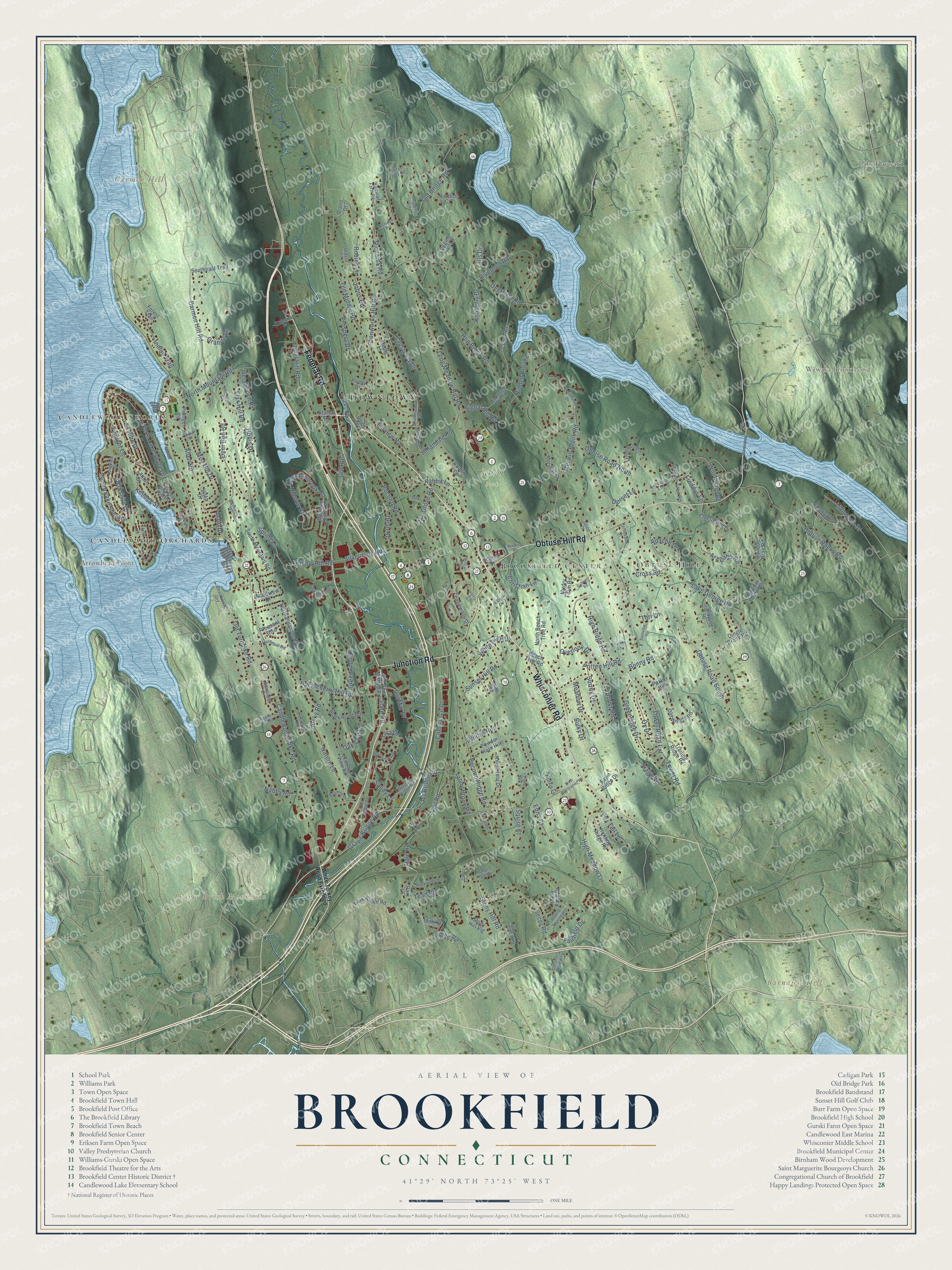
Click to explore a larger preview. The digital watermark does not appear on printed maps.
Names on this map
These names are printed on this map.
Places: Downtown, Candlewood Shores, Arrowhead Point, Barnabas Hill, Beaver Brook Mountain, Carmen Hill, Lake Hayward, Wewaka Brook Pond, School Park, Obtuse Hill, Brookfield Center and Candlewood Orchards.
Streets and roads: Whisconier Road, Federal Road, Obtuse Hill Road, Junction Road, Candlewood Lake Road, Ridge Road, Long Meadow Hill Road, Stony Hill Road, Tower Road, Pocono Road, Obtuse Road South, Hidden Brook Drive.
More street names, A to Z
Alcox Road, Alexander Drive, Allen Road, Apache Drive, Apple Hill Road, Aramon Circle, Arapaho Road, Arbor Drive, Arrowhead Road, Ashleigh Pvt, Ashwood Lane, Banquo Brae Road, Barkwood Hill Road, Barnview Terrace, Bayberry Drive, Beachwood Grv, Beech Tree Road, Berkshire Drive, Beverly Drive, Blackwood Road, Bonny Road, Bound Swamp Road, Bristol Path, Broadview Road, Carmen Hill Road, Cawdor Burn Road, Christian Lane, Commerce Drive, Common Driveway, Cove Road, Crestview Drive, Cross Pond Drive, Cross Road, Dairy Farm Drive, Dean Road, Deerfield Road, Deer Run Road, Deer Trail Drive, Del Mar Drive, Diana Drive, Dingle Brook Road, Dorset Lane, Drover Road, Edna Court, Elbow Hill Road, Fairfield Drive, Falls Drive, Farview Road, Fawn Ridge Drive, Fernbrook Drive, Fieldstone Road, Flax Hill Road, Fleetwood Lane, Forest Trail, Fox Tail Lane, Freddys Lane, Galloping Hl, Gallows Road, Gereg Glen Road, Granite Drive, Grassy Lane, Gray's Bridge Road, Grays Bridge Road, Greenknoll Drive, Greenridge Drive, Hamlin Court, Hearthstone Drive, Heather Lane, Hickory Hill Road, High Meadow Lane, High Ridge Road, Hillandale Road, Hillside Court, Hollis Drive, Hop Brook Road, Horsehill Road, Huckleberry Hill Road, Hunting Ridge Road, Inas Road, Indian Trail, Ironworks Hill Road, Jason Court, Johns Road, Josephs Lane, Kellogg Street, Kimberly Drive, Knollcrest Drive, Lake George Road, Lakeview Road, Laurel Drive, Laurel Hill Road, Ledgewood Drive, Lillinonah Drive, Logging Trail Lane, Longview Drive, Lyndenwood Drive, Main Drive, Maple Lane, Maple Tree Road, Mayflower Drive, Meadowbrook Road, Meadow Brook Road, Meadow Drive, Merwin Brook Road, Mist Hill Drive, Monika Lane, Mudry Farm Road, Murphys Lane, Nabby Road, Nature Lane, Nicoles Court, Norris Lane, North Beech Tree Road, North Lake Shore Drive, North Mountain Road, North Pleasant Rise, Oak Crest Drive, Oak Grove Road, Oak Lane, Oak Meadow Drive, Obtuse Road North, Obtuse Rocks Road, Old Bridge Road, Old Grays Bridge Road, Old Middle Road, Old New Milford Road, Old Route 7, Old State Road, Old Turnpike Road, Old Woods Road, Overlook Drive, Ox Drive, Parker Hill, Park Lane, Park Ridge Road, Parkwood Drive, Patricia Drive, Pleasant Rise, Pocono Ridge Road, Poppy Drive, Powder Horn Hill, Prange Road, Pritten Hill Road, Production Drive, Prospect Drive, Puritan Valley Road, Rabbit Lane, Rajcula Farm Road, Red Barn Lane, Richards Road, Riverford Road, Robins Lane, Rocky Road, Rollingwood Drive, Sand Cut Road, Sandy Lane, School Street, Secor Road, Shamrock Drive, Signal Hill Road, Silvermine Road, Skyline Drive, Southeast Trail, South Lake Shore Drive, South Mountain Road, Spring Lane, Squire Court, Stage Road, State Road, Station Road, Stoney Farm Lane, Stony Brook Road, Stony Hill Vlg, Sulky Drive, Sunset Hill Road, Surrey Drive, Tara Drive, Taylor Street, Tead Road, Toby Lane, Tori Lane, Tower Road Extension, Trailing Ridge Road, Tucks Road, Twilight Lane, Vail Road, Vale Road, Valley View Road, Vista Drive, Westview, West Whisconier Road, White Pine Drive, White Turkey Road Extended, Willow Run, Winding Road, Windwood Road, Woodcreek Road, Woodview Drive.
This beautifully detailed map of Brookfield makes an attractive addition to your office, library, or den, and it can even be used to teach children the geography and history of the area. It also makes a great gift for anyone with Brookfield roots. When you’re done exploring, click here to get your copy of the Brookfield map.