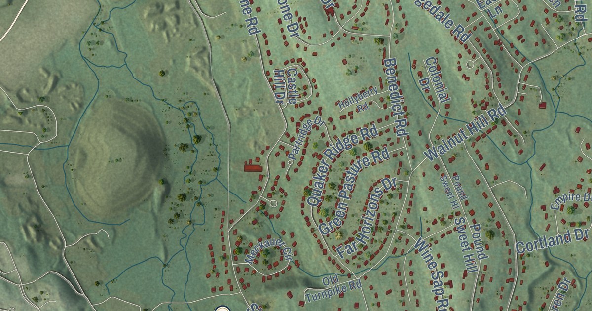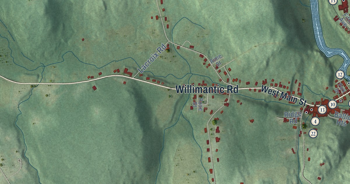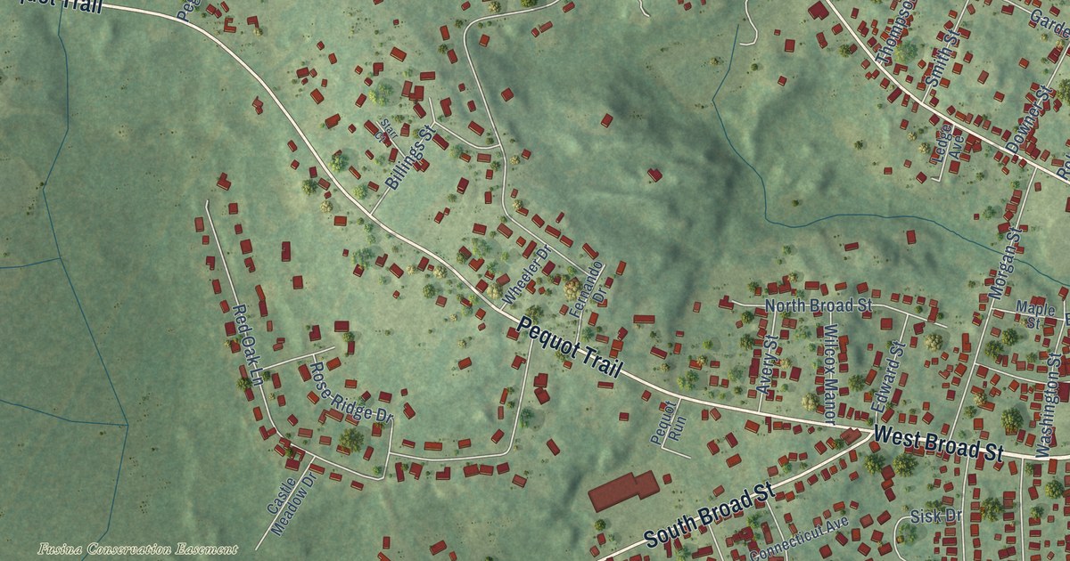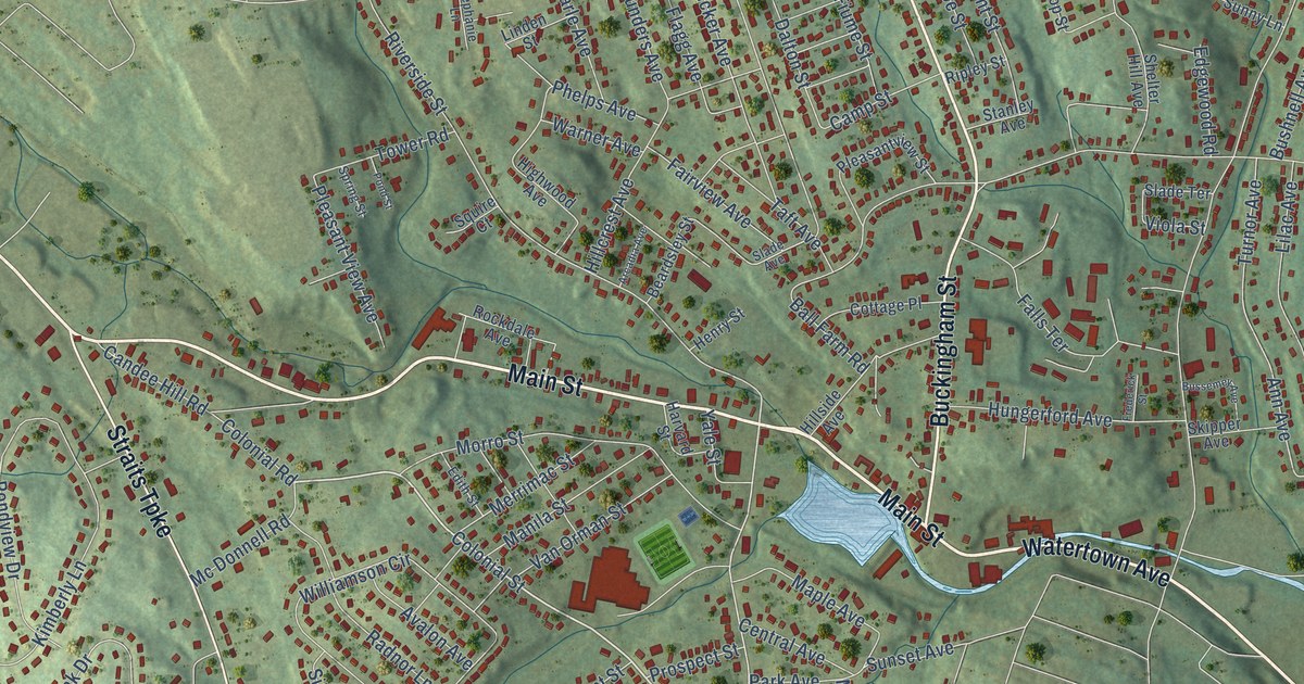
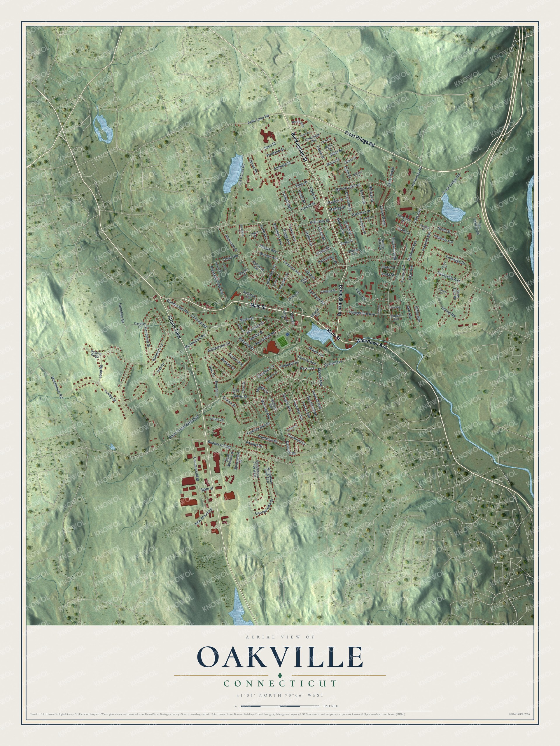
This beautifully detailed map of Oakville, Connecticut was created in 2026 using aerial imagery combined with modern topographical, census, street and landmark data. It's a modern aerial view of Oakville in Naugatuck Valley Planning Region, Connecticut, that combines modern data with a vintage aesthetic. The roads feature printed names, and if you look closely you can find your exact house accurately shown in its correct location.
Explore an aerial view of Oakville, Connecticut
On this map you'll find Main Street, Buckingham Street, Straits Turnpike, Frost Bridge Road, Watertown Avenue, Colonial Street, Davis Street, Georgetown Drive, Ann Avenue, Bunker Hill Road, Sunnyside Avenue, Sylvan Lake Road, and more. Each red shape is a building, so zoom in on the preview and look for yours.
Oakville is a community in Naugatuck Valley Planning Region. The Census Bureau counted 9,504 people here in 2020. Oakville sits about 2 miles southeast of Watertown, 3 miles northwest of Waterbury and 6 miles south of Thomaston. The map prints the town name in its title panel, with the coordinates below it.
Take a closer look at the Oakville map
Names on this map
These names are printed on this map.
Streets and roads: Main Street, Buckingham Street, Straits Turnpike, Frost Bridge Road, Watertown Avenue, Colonial Street, Davis Street, Georgetown Drive, Ann Avenue, Bunker Hill Road, Sunnyside Avenue, Sylvan Lake Road.
More street names, A to Z
Aldorisio Street, Arcadia Avenue, Augusta Street, Avalon Avenue, Ball Farm Road, Bamford Avenue, Beardsley Street, Birch Meadow Drive, Booth Avenue, Borowy Road, Burnham Street, Bushnell Avenue, Bussemey Avenue, Camp Street, Candee Hill Road, Capewell Avenue, Caroline Circle, Carson Avenue, Carter Street, Cedar Ridge, Central Avenue, Charlotte Street, Chase Street, Clermont Street, Clyde Street, Cobb Street, Colonial Road, Commercial Street, Cottage Place, Cummings Avenue, Dalton Street, Daveluy Court, Davis Street Extended, Delhurst Drive, Di Nunzio Road, Earle Avenue, Eaton Street, Echo Lake Road, Eddy Street, Edgewood Road, Edith Street, Elena Drive, Elmhurst Lane, Elm Street, Emile Avenue, Eustis Street, Evelyn Street, Everitt Lane, Fairview Avenue, Falls Avenue, Falls Terrace, Fiume Street, Flagg Avenue, Frances Ann Drive, Franklin Avenue, Frederick Street, French Street, Georgetown Drive East, Georgetown Drive West, Hadley Street, Harvard Street, Hazel Street, Heath Street, Henry Street, Highwood Avenue, Hillcrest Avenue, Hillside Avenue, Hilltop Road, Howland Street, Hubbell Avenue, Hungerford Avenue, Ice House Road, Jenks Street, Kimberly Lane, Lamphier Drive, Lancaster Street, Laurel Ridge, Libson Street, Lilac Avenue, Linden Street, Loop Road, Lovley Drive, Mango Circle, Manila Street, Maple Avenue, Mason Avenue, Mc Donnell Road, McLennan Drive, Melrose Avenue, Merrimac Street, Middlebury Road, Milliken Street, Monroe Street, Morin Street, Morro Street, New Wood Road, North Street, Norway Street, Oak Drive, Old Colonial Road, Orient Street, Park Avenue, Parkman Street, Paxton Street, Phelps Avenue, Phillips Drive, Pineridge Drive, Plainfield Drive, Pleasant View Avenue, Pleasantview Street, Pond Street, Pondview Drive, Portland Street, Prospect Street, Pullen Avenue, Radnor Lane, Ridgeway Avenue, Ripley Street, Riverside Street, Rockdale Avenue, Saco Street, Saugus Avenue, Saunders Avenue, Shaw Farm Road, Shelter Hill Avenue, Sills Drive, Skipper Avenue, Slade Avenue, Slade Street, Slade Terrace, Spring Street, Sprucewood Road, Squire Court, Stanley Avenue, State Street, Stephanie Lane, Summit Ridge, Sunny Lane, Sunset Avenue, Taft Avenue, Tarbell Avenue, Tower Road, Tucker Avenue, Turnor Avenue, Van Orman Street, Viola Street, Warner Avenue, Westview Drive, Williams Avenue, Williamson Circle, Winthrop Street, Yale Street.
Created by KNOWOL in 2026. The buildings are small red shapes, the roads carry their printed names, and shaded relief shows the shape of the land. The title panel reads "AERIAL VIEW OF OAKVILLE, CONNECTICUT" with 41°35' NORTH 73°06' WEST.
It looks right in a kitchen, an office or a den, and it's a gift for anyone who grew up in Oakville or moved away. Open the preview and find your street. See sizes and frames for the Oakville map.