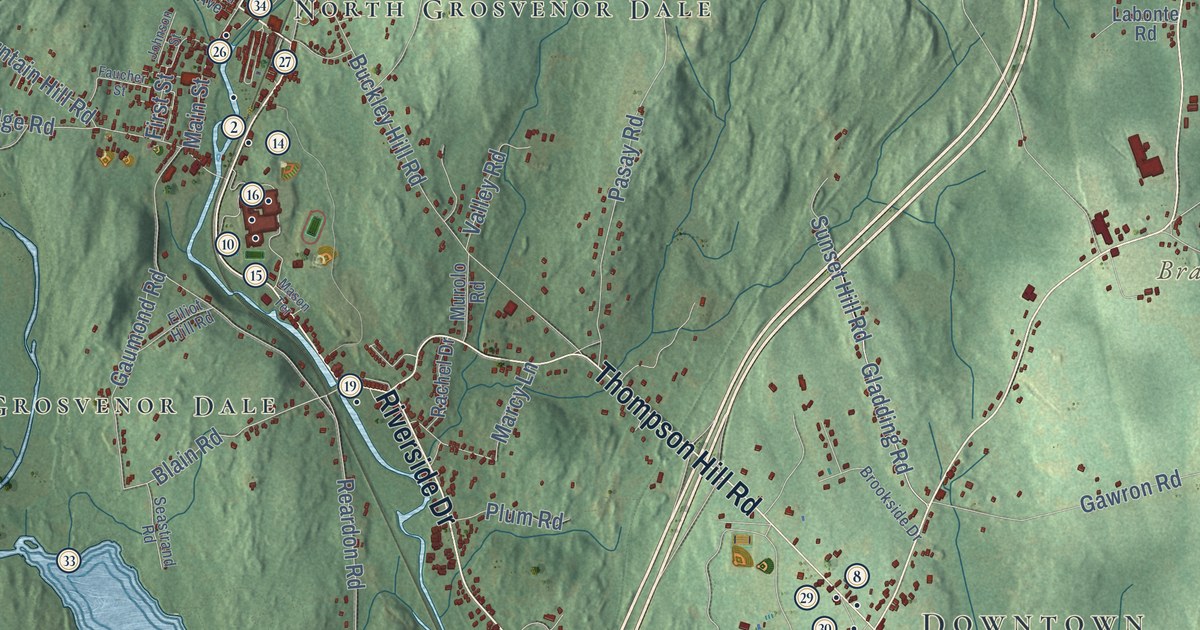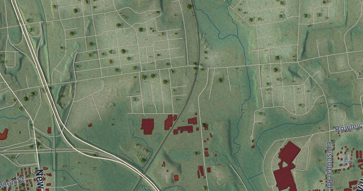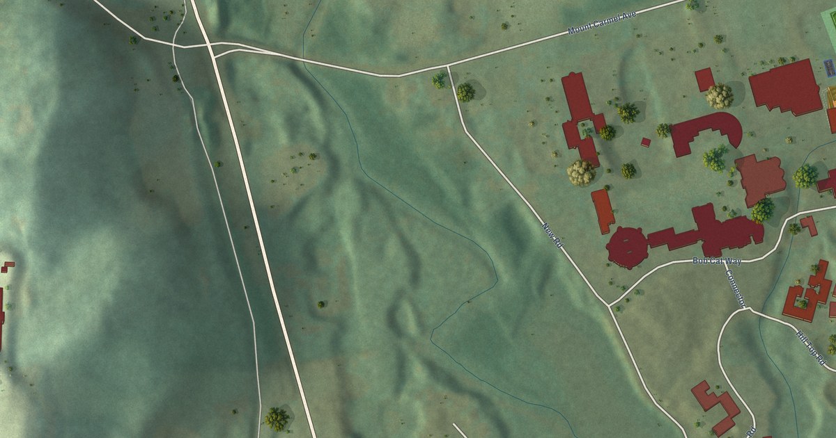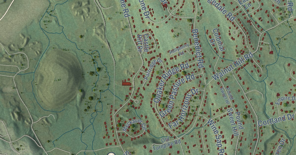
This beautifully detailed map of Bethel, Connecticut was created in 2026 using aerial imagery combined with modern topographical, census, street and landmark data. It’s a one-of-a-kind view of Bethel that combines accurate data with a vintage aesthetic. The map shows every building in its true location, many of the roads carry their names, and the shaded topographic relief shows the shape of the land.
See it on a wall
The Bethel map as an 18 x 24 inch print in a black frame.

Explore an aerial view of Bethel, Connecticut
On the map you’ll find Downtown, Codfish Hill, Bogus Mountain, Great Hill, Prospect Hill, Bethels Pond, Chestnut Ridge Reservoir, and Stephenson Preserve, along with Stony Hill Road, Putnam Park Road, Dodgingtown Road, Grassy Plain Street, and more. If you look closely you can even find your house accurately drawn in its correct location. Zoom in on the preview to look for yours. Click here to learn more about the history of Bethel.
Take a closer look at the Bethel map
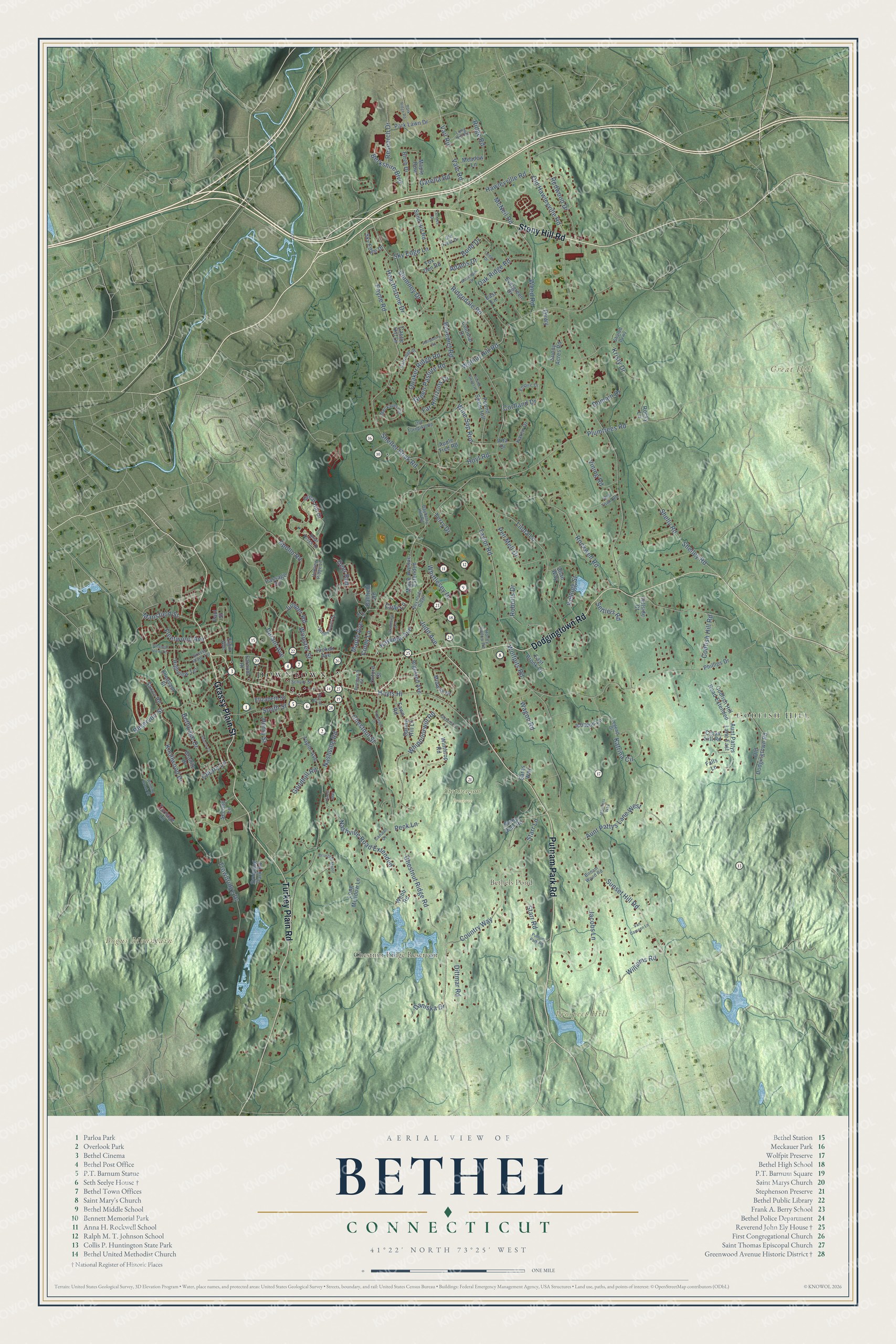
Click to explore a larger preview. The digital watermark does not appear on printed maps.
Names on this map
These names are printed on this map.
Places: Downtown, Codfish Hill, Bogus Mountain, Great Hill, Prospect Hill, Bethels Pond, Chestnut Ridge Reservoir and Stephenson Preserve.
Streets and roads: Stony Hill Road, Putnam Park Road, Dodgingtown Road, Grassy Plain Street, Turkey Plain Road, Chestnut Street, Cortland Drive, Maple Avenue, Sky Edge Lane, Chestnut Ridge Road, Starr Lane, Old Hawleyville Road.
More street names, A to Z
Adams Drive, Allan Way, Apollo Road, Apple Tree Road, Aunt Pattys Lane East, Aunt Pattys Lane West, Ballfield Road, Bayberry Hill Road, Benedict Road, Berkshire Boulevard, Bethpage Drive, Birch Drive, Birnam Wood Road, Briarcliff Manor, Briar Ridge Drive, Budd Drive, Canaan Drive, Castle Hill Drive, Cedar Drive, Cherry Lane, Chimney Drive, Cindy Lane, Codfish Hill Road, Codfish Hill Road Extended, Cole Lane, Colonial Drive, Country Way, Cross Hill Road, Daniska Drive, Deer Run, Dittmar Road, Domain Drive, Durant Avenue, Dvwy, East Brook Court, East Lane, Elgin Avenue, Elizabeth Street, Empire Drive, Evergreen Drive, Falls Lane, Far Horizons Drive, Farm Court, Farnum Hl, Fawn Road, Fleetwood Avenue, Forest Way, Fox Den Road, Garella Road, Goodhill Road, Governors Lane, Grandview Avenue, Granite Drive, Grassy Plain Terrace, Great Hill Drive, Green Pasture Road, Hawleyville Road, Hearthstone Drive, Henry Street, Hickok Avenue, Highland Avenue, Highview Terrace, Hillside Court, Hollyberry Road, Honey Hollow Road, Hoyt Road, Hoyts Hl, Hunting Ridge Lane, Ichabod Lane, Jacobs Lane, Jennifers Way, Judd Avenue, Juniper Road, Karen Drive, Katrina Circle, Kayview Avenue, Kellogg Street, Kingswood Drive, Knollwood Drive, Kristy Drive, Legend Drive, Linda Lane, Long Hill Road, Long Meadow Lane, Mansfield Street, Maple Avenue Extended, Maple Row, McNeil Road, Meadow Lane, Meckauer Circle, Midway Drive, Nashville Road, Nashville Road Extended, Oak Ridge Road, Old Dodgingtown Road, Old Field Drive, Old Town Road, Old Turnpike Road, Oxford Street, Park Lawn Drive, Park Ridge Road, Partridge Drive, Passage Road, Paul Street, Payne Road, Peck Lane, Pell Mell Drive, Phillips Drive, Pleasant Street, Pleasant View Terrace, Plumtrees Road, Pound Sweet Hill, Pound Sweet Hl, Prospect Street, Putnum Park Road, Quaker Ridge Road, Rector Street, Redwood Drive, Research Drive, Reservoir Street, Reynolds Ridge, Ridgedale Road, Ridge Road, Rita Drive, Roberts Drive, Rockwell Road, Rocky Lane, Sand Hill Road, Saras Way, Saxon Road, School Street, Second Lane, Settlers Road, Shared Dvwy, Sharon Court, Shelley Road, Shelly Road, Shelter Rock Road, Sky Edge Drive, South Street, Spring Hill Lane, Starr Road, Stone Dam Road, Sunny Acres Road, Sunset Hill Road, Sympaug Park Road, Taylor Avenue, Taylor Road, Terrace Drive, Terry Drive, Topstone Drive, Trowbridge Drive, Turnage Lane, Vail Road, Vale Road, Van Campen Lane, Vining Road, Wagon Road, Walnut Hill Road, Webb Road, Weed Road, Whippoorwill Road, Whittlesey Drive, Williams Road, Winding Brook Drive, Wine Sap Run, Winthrop Road, Wolfpits Road, Woodlawn Drive, Wooster Street.
This beautifully detailed map of Bethel makes an attractive addition to your office, library, or den, and it can even be used to teach children the geography and history of the area. It also makes a great gift for anyone who grew up in Bethel or moved away. When you’re done exploring, click here to get your copy of the Bethel map.