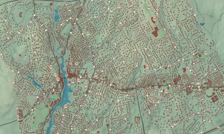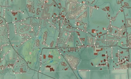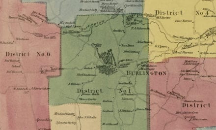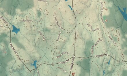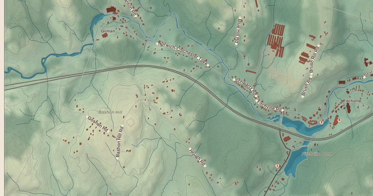
If you grew up in Bozrah, or you’ve ever spent a day out at Gardner Lake, you’ll find your town on this map just as it stands in 2026. Look for your road. Bozrah Street, Salem Turnpike, Norwich Colchester Turnpike, Fitchville Road, Bishop Road, South Road, Old South Road, Old Salem Road, Gilmans Road and Stockhouse Road are all printed by name, along with many more.
Bozrah is in New London County, Connecticut.
KNOWOL made this map in 2026 from public survey data, and gave it the look of an old atlas. The shaded hills come from United States Geological Survey elevation data, and the streets and the town line come from the Census Bureau. Bozrah’s villages are each printed by name: Fitchville, Gilman, Leffingwell and Bargytown. A guide of 16 numbered landmarks runs along the bottom, with the National Register site marked, and we checked it against National Park Service records.
From Norwich to New Concord to Bozrah
Bozrah was first settled as part of the original “nine-miles-square” of Norwich, and as part of the Parish of West Farms. In 1737 it became a parish of its own, called New Concord, or the Fourth Society of Norwich. In 1786 it was incorporated as the town of Bozrah. That’s the year on the title panel of the map: Incorporated 1786.
Bozrah is a place named in the Old Testament, and there’s a story in town about how the name was picked. According to the legend, the parish really wanted to be called Bath, after the famous spa in England. The man sent to Hartford with the request dressed in loud, many-colored homespun, and one amused legislator was reminded of a verse from Isaiah: “Who is this that cometh from Edom, with dyed garments from Bozrah?” The Assembly liked the joke so much that it named the town Bozrah. Whether or not it happened that way, the old name New Concord was dropped when the town was incorporated. Click here to learn more about the history of Bozrah.
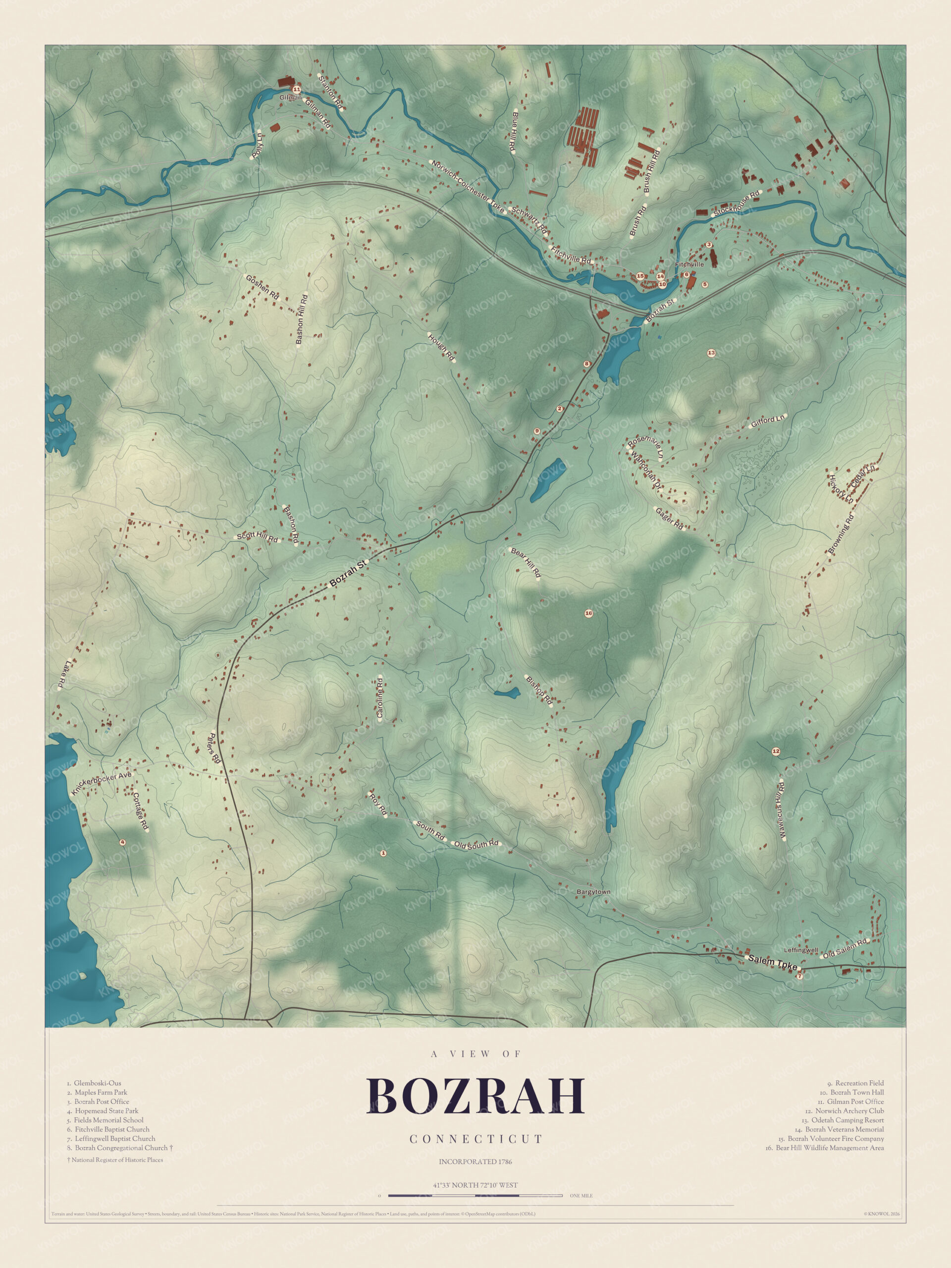
Click to explore a larger preview. The digital watermark does not appear on printed maps.
Names on this map
These names are printed on this map.
Places: Bargytown, Gilman, Fitchville, Blue Hill, Bear Hill Wildlife Management Area, Bozrah Congregational Church, Bozrah Town Hall, Bozrah Veterans Memorial, Brush Hill, Fields Memorial School, Hopemead State Park, Norwich Archery Club, Odetah Camping Resort and Recreation Field.
Streets and roads: Fitchville Rd, Bozrah St, Blue Hill Rd, Brush Hill Rd, Brush Rd, Stockhouse Rd, Hill Rd, Caroline Rd, Roy Rd, Old South Rd and Wawecus Hill Rd.
The Bozrah Congregational Church
The Bozrah Congregational Church (8) is a white Greek Revival meetinghouse on a knoll above Bozrah Street and Fitchville Pond. The town argued for two years over whether to repair the old meetinghouse or build a new one. Work on the new church started in January 1843. Town meetings were held there too, so the town put in $400 for the use of the basement, and the building served as the town’s meeting place for more than 100 years.
The parsonage next door was built in 1872 on land Clarissa Haughton gave for the purpose. The church and parsonage, at 17 and 23 Bozrah Street, were added to the National Register of Historic Places together on August 26, 1991, as the Bozrah Congregational Church and Parsonage.
Fitchville
Most of the town’s numbers gather around Fitchville, the town center, in the northeast part of the map. Fields Memorial School (5) is here. It’s the town’s school, for preschool through grade 8, and older students go on to high schools in neighboring towns. Bozrah Town Hall (10), the Bozrah Post Office (3), the Bozrah Volunteer Fire Company (15) and the Bozrah Veterans Memorial (14) are all close by. Fitchville was a mill village, and for a time it had a small Congregational society of its own. A Baptist church came after 1887, and the Fitchville Baptist Church (6) is in the guide.
Leffingwell, Gilman and Bargytown
Down in the southeast, Leffingwell is a crossroads on Route 82, with its own church, the Leffingwell Baptist Church (7). Gilman, up in the northwest, is an old mill village along Fitchville Road, and it has the Gilman Post Office (11). Bargytown is printed in the south of town.
Parks, Fields and Gardner Lake
Maples Farm Park (2) is near the middle of the map. The town bought it in 2007, added hiking trails in 2011 and improved them in 2014. The Recreation Field (9) is close by. The Bear Hill Wildlife Management Area (16) is to the southeast.
Gardner Lake, 529 acres and a popular place for recreation, fills the southwestern corner of town and reaches into Salem and Montville. Hopemead State Park (4), an undeveloped 60-acre recreation area, is out in the southwest as well. The guide also numbers Glemboski-Ous (1), the Norwich Archery Club (12) and the Odetah Camping Resort (13).
This map of Bozrah makes a handsome addition to a living room, office, library or den, and it can even help teach children the geography and history of the town. It’s a thoughtful gift for anyone who calls Bozrah home, grew up here, or moved away. Created by KNOWOL in 2026, it’s printed on museum quality archival paper in three sizes. Zoom in on the preview above to explore the details, then click here to get your copy of the Bozrah map.

Sources