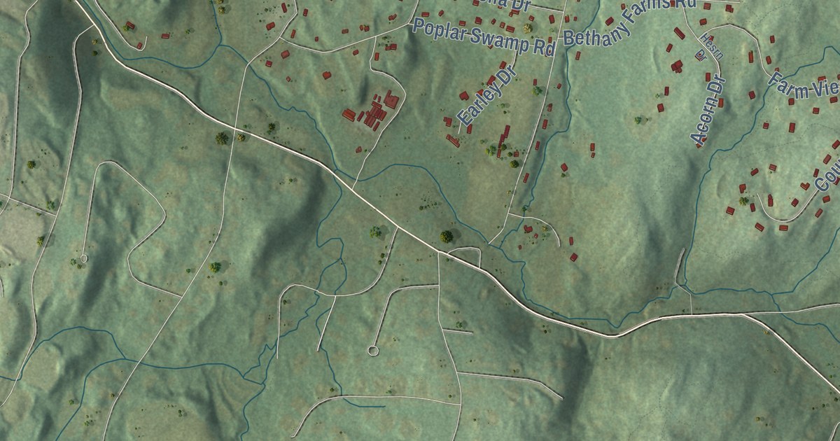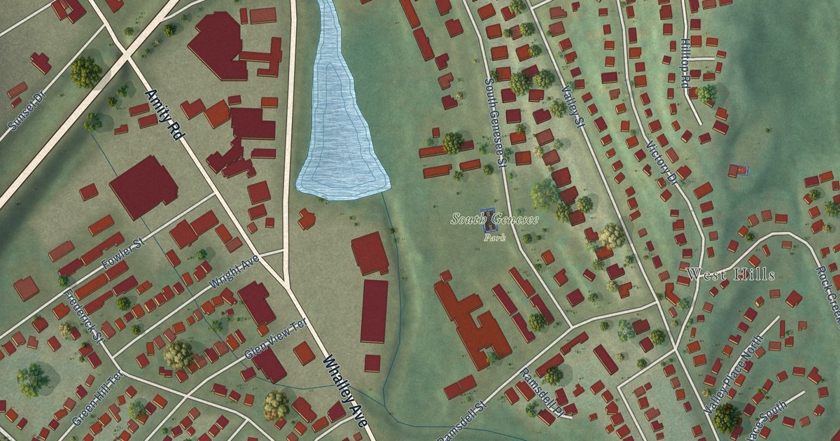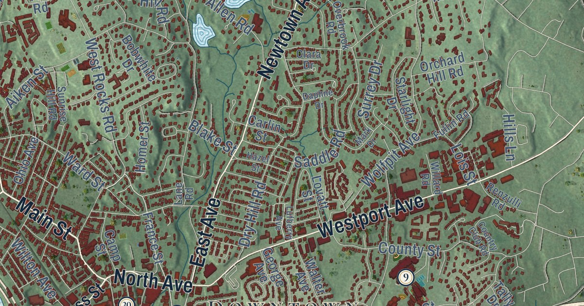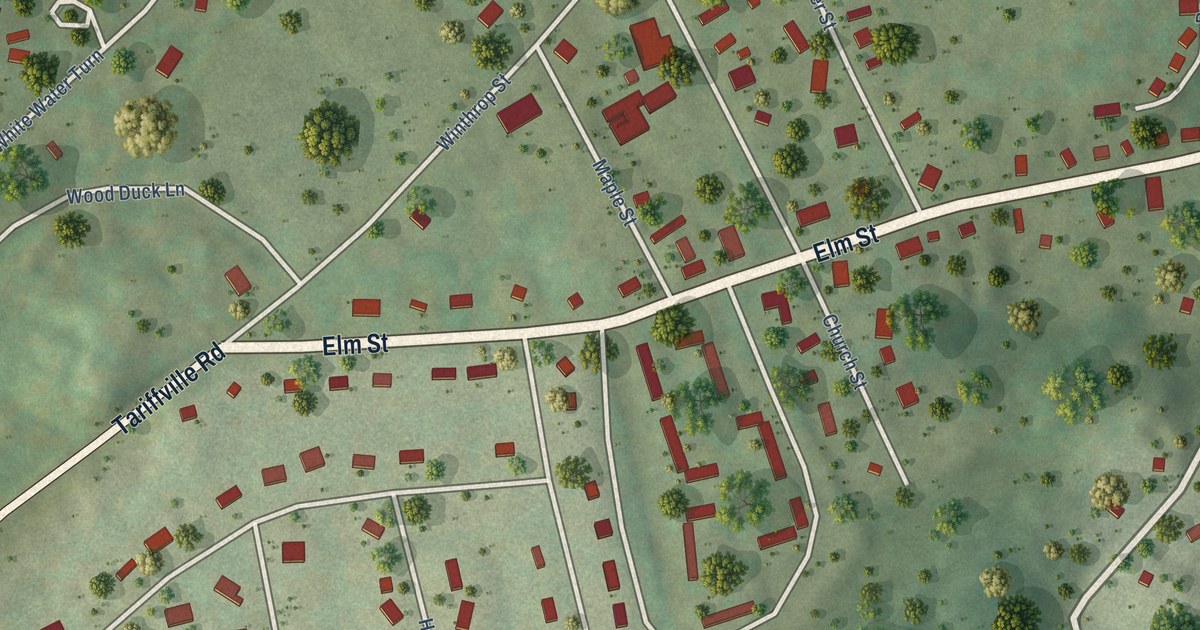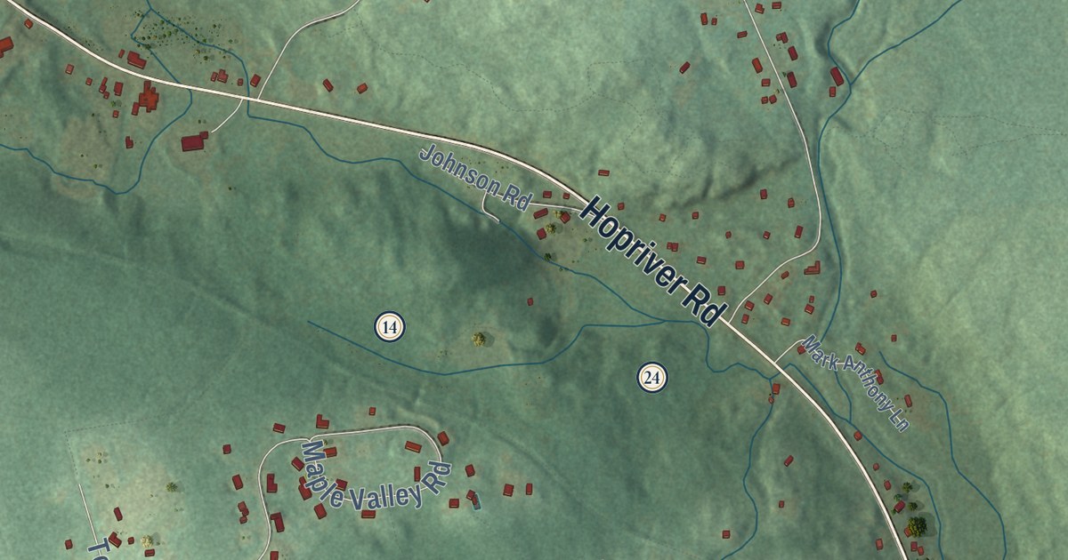
This beautifully detailed map of Bolton, Connecticut was created in 2026 using aerial imagery combined with modern topographical, census, street and landmark data. It’s a one-of-a-kind view of Bolton that combines accurate data with a vintage aesthetic. The map shows every building in its true location, many of the roads carry their names, and the shaded topographic relief shows the shape of the land.
See it on a wall
The Bolton map as an 18 x 24 inch print in a black frame.

Explore an aerial view of Bolton, Connecticut
On the map you’ll find Downtown, Box Hill, Monument Hill, Whites Hill, Bolton Lake, Bolton Notch Pond, Gay City State Park, Bolton Lake Lower, Rose Farm, Bolton Open Space, Bolton Heritage Farm, Bolton Notch State Park, and more. If you look closely you can even find your house accurately drawn in its correct location. Zoom in on the preview to look for yours. Click here to learn more about the history of Bolton.
Take a closer look at the Bolton map
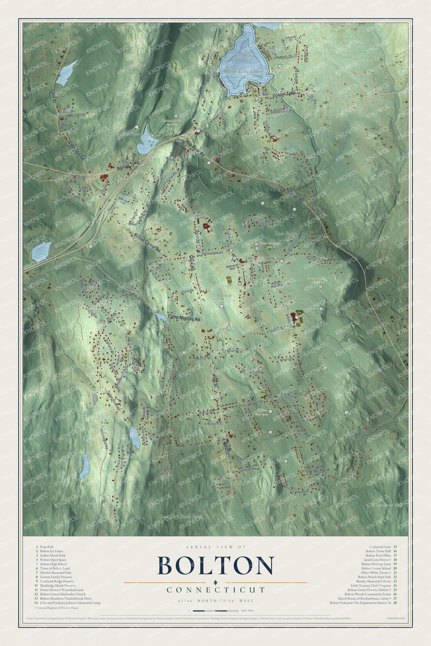
Click to explore a larger preview. The digital watermark does not appear on printed maps.
Names on this map
These names are printed on this map.
Places: Downtown, Box Hill, Monument Hill, Whites Hill, Bolton Lake, Bolton Notch Pond, Gay City State Park, Bolton Lake Lower, Rose Farm, Bolton Open Space, Bolton Heritage Farm, Bolton Notch State Park, Gorton Family Preserve and Herrick Memorial Park.
Streets and roads: Boston Turnpike, Camp Meeting Road, Bolton Center Road, Clark Road, West Street, Cider Mill Road, Hopriver Road, Hop River Road, Lake Street, Hebron Road, Villa Louisa Road, French Road.
More street names, A to Z
Alexis Drive, Anthony Road, Bayberry Lane, Birch Mountain Road, Box Mountain Road, Brandy Street, Brian Drive, Brookfield Road, Brookside Lane, Carpenter Road, Carter Street, Castlerock Lane, Colonial Road, Converse Road, Cook Drive, Country Club Road, Daria Drive, Dean Drive, Deer Run Road, Deming Road, Dimock Lane, Elizabeth Road, Enrico Road, Fairway Drive, Fernwood Drive, Fiano Road, Fiora Road, French Road Extended, Garth Lane, Goodwin Road, Green Hills Road, Hanover Farms Road, Hatfield Drive, High Ridge Farm Lane, Hillcrest Road, Howard Road, Iroquois Trail, Johnson Road, Keeney Drive, Kim Road, Laurwood Drive, Llynwood Drive, Lookout Landing, Loomis Road, Lori Road, Lucks Way, Lyman Road, Maple Valley Road, Mark Anthony Lane, Meadow Road, Mohegan Trail, Mount Sumner Drive, Normas Way, North Road, Notch Road, Old Coventry Road, Old School House Road, Plymouth Lane, Pond View Road, Quarry Road, Riga Lane, Rocco Road, Rolling Hills Trail, Rosewood Lane, School House Road, School Road, Shady Lane, Shoddy Mill Road, Skinner Road, South Road, Steeles Crossing Road, Stone Hedge Lane, Stony Road, Sunningdale Lane, Sunset Lane, Tanglewood Lane, Tinker Pond Road, Tolland Road, Toomey Road, Tumblebrook Road, Tunxis Trail, Valerie Drive, Vernon Road, Villa Louise Road, Volpi Road, Walden Way, Wall Street, Watrous Road, Webster Lane, Westridge Road, Westview Drive, Williams Road.
This beautifully detailed map of Bolton makes an attractive addition to your office, library, or den, and it can even be used to teach children the geography and history of the area. It also makes a great gift for anyone with Bolton roots. When you’re done exploring, click here to get your copy of the Bolton map.