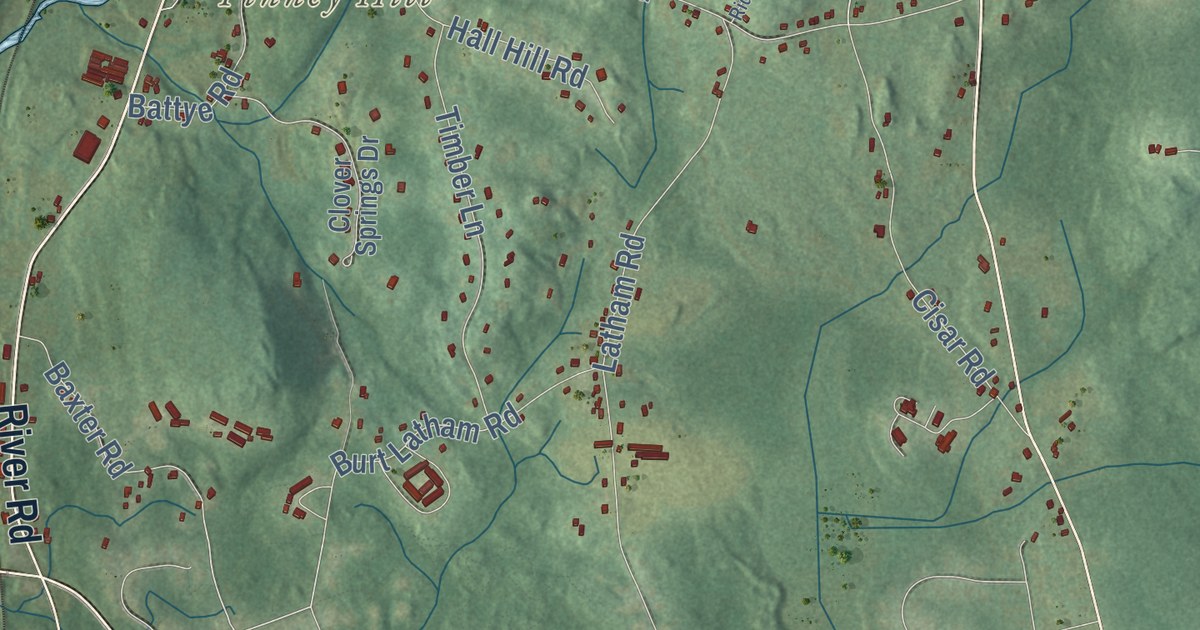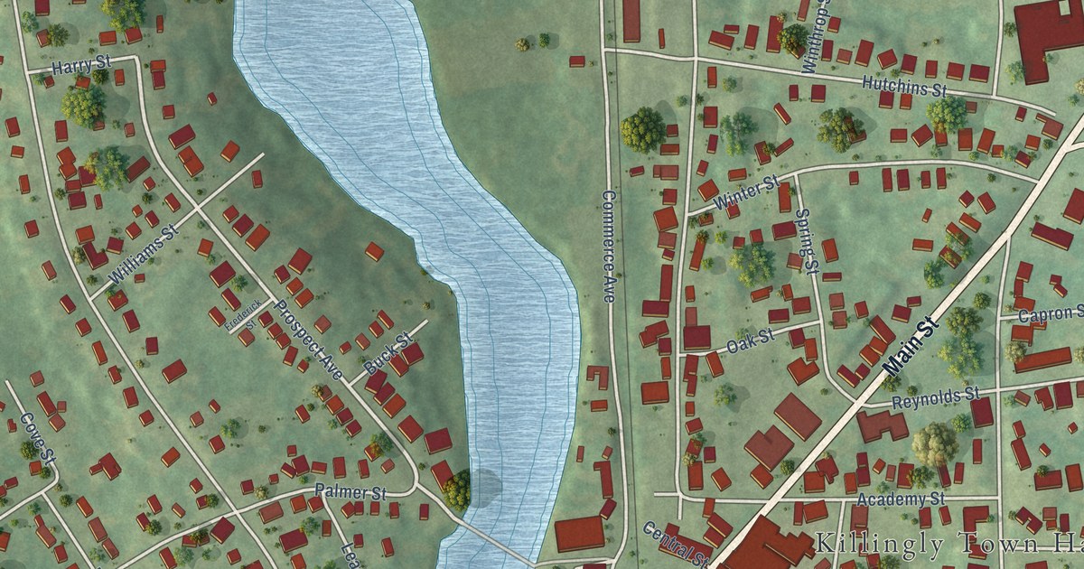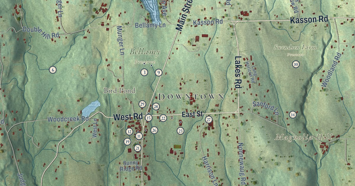
This beautifully detailed map of Bethlehem, Connecticut was created in 2026 using aerial imagery combined with modern topographical, census, street and landmark data. It’s a one-of-a-kind view of Bethlehem that combines accurate data with a vintage aesthetic. The map shows every building in its true location, many of the roads carry their names, and the shaded topographic relief shows the shape of the land.
See it on a wall
The Bethlehem map as an 18 x 24 inch print in a black frame.

Explore an aerial view of Bethlehem, Connecticut
On the map you’ll find Downtown, Gulls Hollow, Bird Hill, Carmel Hill, Church Hill, Magnolia Hill, Big Meadow Pond, Bird Pond, Regina Laudis Abbey, Bethlehem Fairgrounds, Bellamy Preserve, Swendsen Farm Preserve, and more. If you look closely you can even find your house accurately drawn in its correct location. Zoom in on the preview to look for yours. Click here to learn more about the history of Bethlehem.
Take a closer look at the Bethlehem map
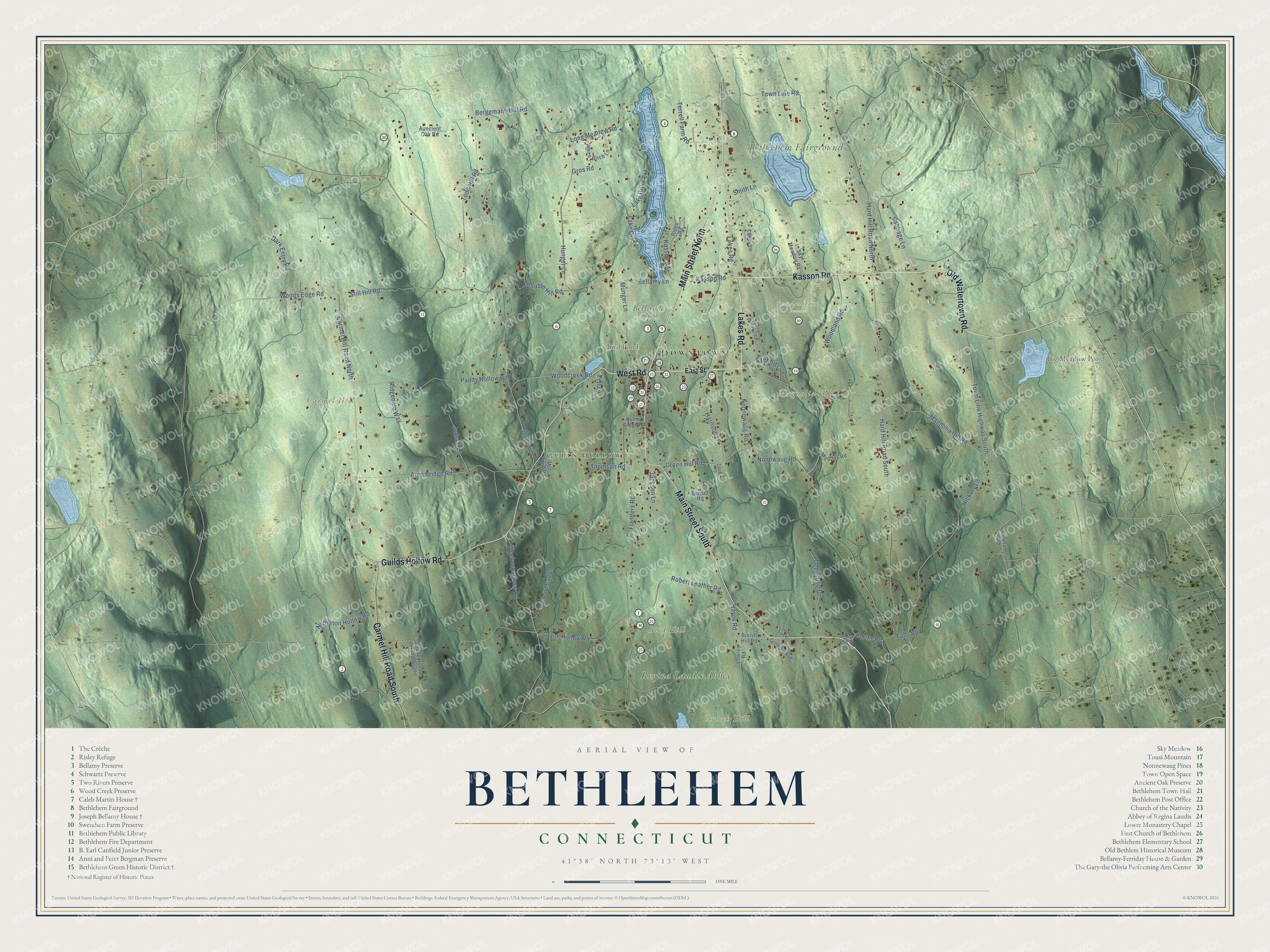
Click to explore a larger preview. The digital watermark does not appear on printed maps.
Names on this map
These names are printed on this map.
Places: Downtown, Gulls Hollow, Bird Hill, Carmel Hill, Church Hill, Magnolia Hill, Big Meadow Pond, Bird Pond, Regina Laudis Abbey, Bethlehem Fairgrounds, Bellamy Preserve and Swendsen Farm Preserve.
Streets and roads: Kasson Road, Lakes Road, Main Street North, West Road, Guilds Hollow Road, Old Watertown Road, Main Street South, Carmel Hill Road South, Town Line Highway South, Town Line Road, Woodcreek Road, Nonnewaug Road.
More street names, A to Z
Arch Bridge Road, Arrowhead Lane, Auncient Oak Road, Bellamy Lane, Bergemann Hill Road, Burritt Hill Road, Cabbage Lane, Carmel Hill Road North, Cowles Road, Crane Hollow Road, Crane Hollow Road South, Dark Entry Road, Deerwood Drive, Double Hill Road, East Street, Falls Road, Flanders Road, Green Hill Road, Gros Road, Hard Hill Road North, Hard Hill Road South, Harrison Lane, Hayes Road, Hickory Lane, Hinman Road, Hunger Lane, Jackson Lane, Judge Lane, Judson Lane, Kasson Avenue, Lake Drive, Lake Drive Extension, Lakes Lane, Long Horizon Road, Long Meadow Road, Maddox Road, Maddox Road 2, Magnolia Hill Road, Mill Pond Road, Munger Lane, Nettleton Hollow Road, Nonewaug Road, Orchard Avenue, Paddy Hollow Road, Porter Hill Road, Porter Road, Ridgedale Way, Ridge Road, Robert Leather Road, Sanford Lane, Sky Meadow Road, Smith Lane, Still Hill Road, Sunny Ridge Road, Sunset Road, Terrell Farm Road, Thomson Road, Todd Hill Road, Tousi Road, Tulip Tree Lane, Weekeepeemee Road, West Lane, White Birch Lane, Woodland Road, Woods Edge Road.
This beautifully detailed map of Bethlehem makes an attractive addition to your office, library, or den, and it can even be used to teach children the geography and history of the area. It also makes a great gift for anyone with Bethlehem roots. When you’re done exploring, click here to get your copy of the Bethlehem map.