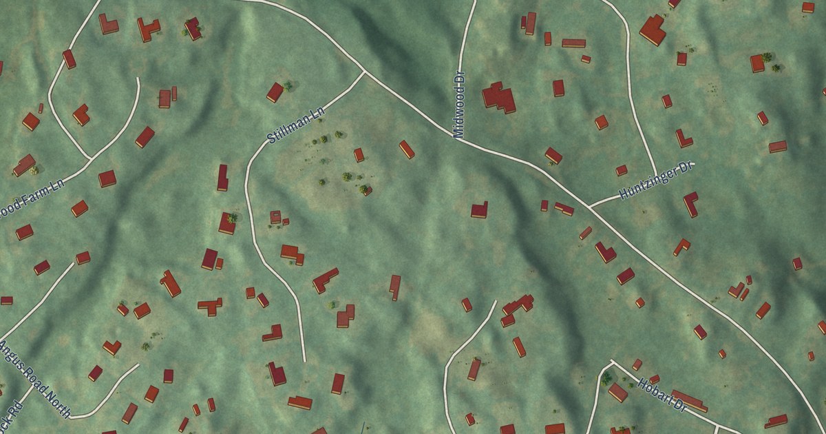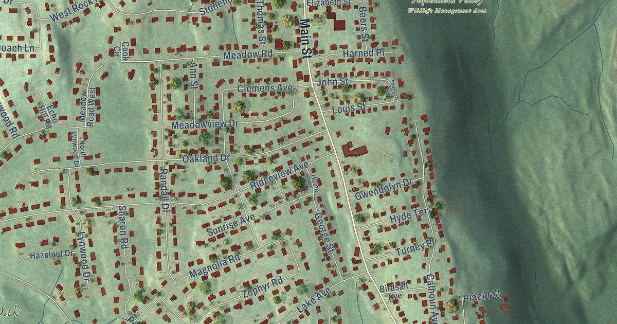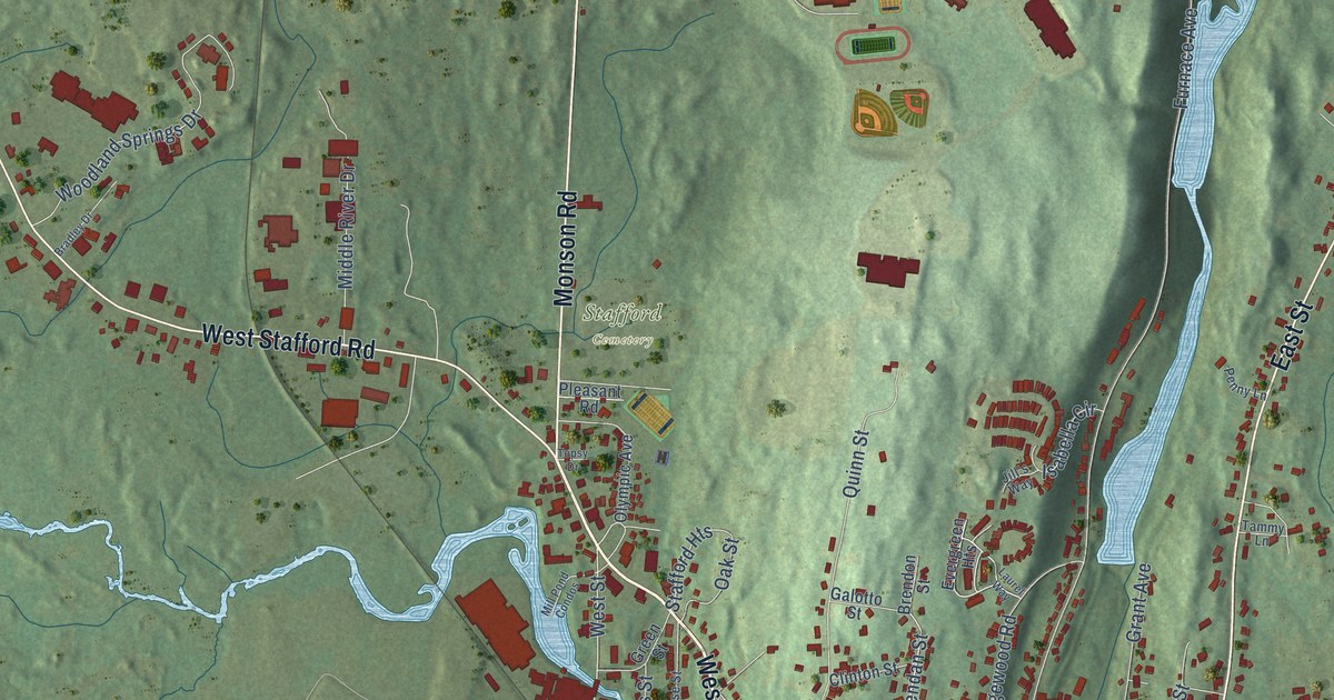
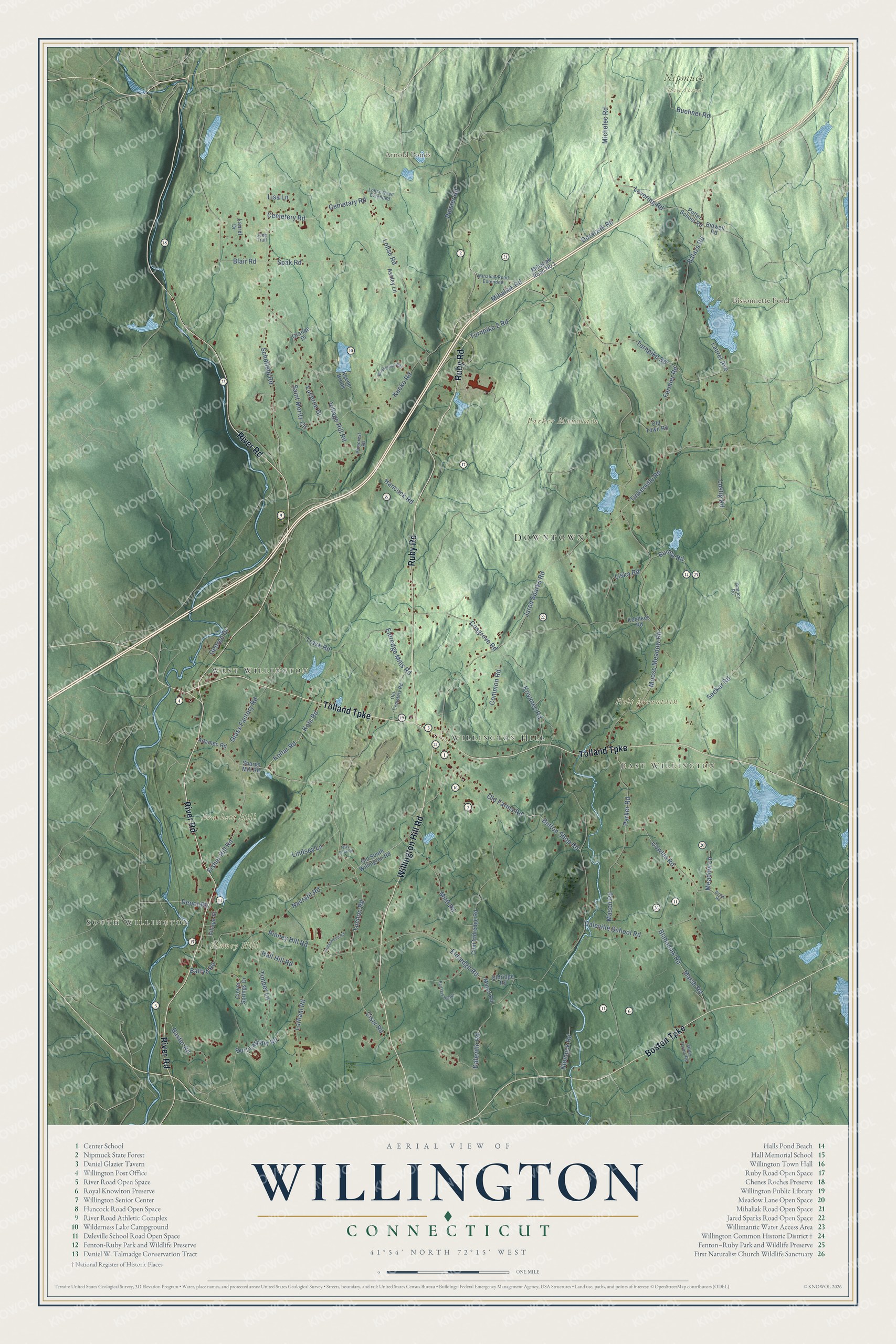
This beautifully detailed map of Willington, Connecticut was created in 2026 using aerial imagery combined with modern topographical, census, street and landmark data. It’s a one-of-a-kind view of Willington that combines accurate data with a vintage aesthetic. The map shows every building in its true location, many of the roads carry their names, and the shaded topographic relief shows the shape of the land.
See it on a wall
The Willington map as an 18 x 24 inch print in a black frame.

Explore an aerial view of Willington, Connecticut
On the map you’ll find Downtown, South Willington, West Willington, East Willington, Willington Hill, Brackett Hill, Holt Mountain, Parker Mountain, Pinney Hill, Arnold Ponds, Bissonnette Pond, Nipmuck State Forest, and more. If you look closely you can even find your house accurately drawn in its correct location. Zoom in on the preview to look for yours. Click here to learn more about the history of Willington.
Take a closer look at the Willington map
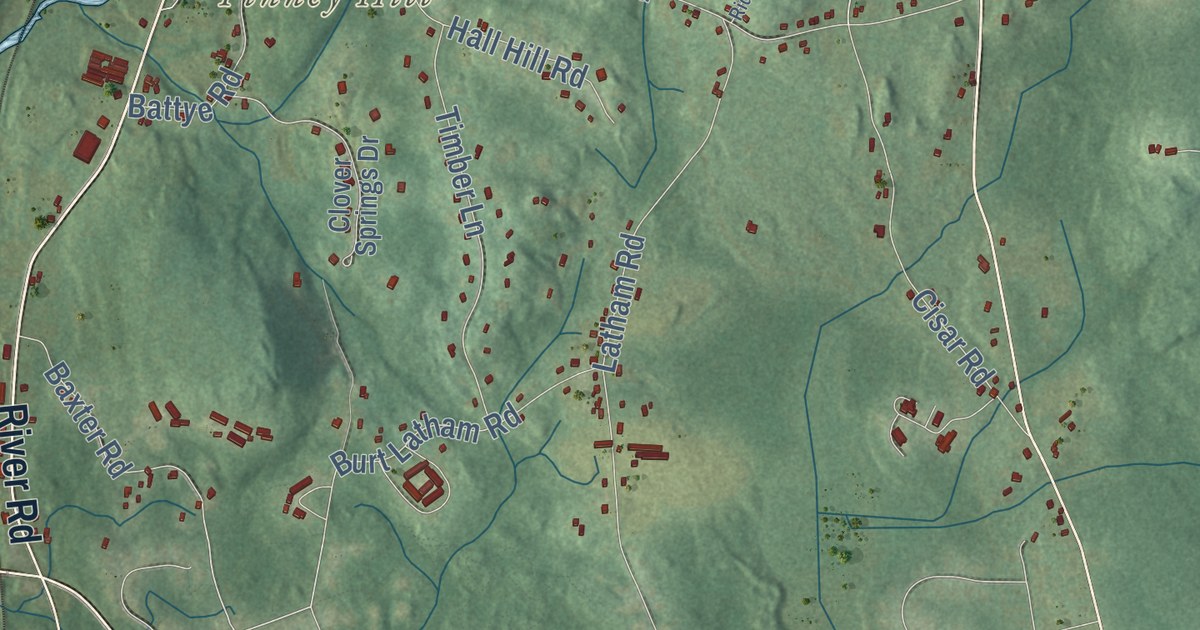
Click to explore a larger preview. The digital watermark does not appear on printed maps.
Names on this map
These names are printed on this map.
Places: Downtown, South Willington, West Willington, East Willington, Willington Hill, Brackett Hill, Holt Mountain, Parker Mountain, Pinney Hill, Arnold Ponds, Bissonnette Pond and Nipmuck State Forest.
Streets and roads: River Road, Tolland Turnpike, Ruby Road, Willington Hill Road, Boston Turnpike, Schofield Road, Turnpike 2 Road, Kollar Road, Luchon Road, Cowles Road, Turnpike Road, Tinkerville Road.
More street names, A to Z
Adamec Road, Amidon Road, Ashley Lane, Balazs Road, Battye Road, Baxter Road, Bidwell Road, Blahusiak Road, Blair Road, Buchner Road, Burma Road, Burt Latham Road, Busse Road, Button Shop Road, Cemetary Road, Cemetery Road, Cisar Road, Clint Eldredge Road, Clover Springs Drive, Common Road, Cosgrove Road, Daleville Road, Daleville School Road, Depot Road, Doratzak Road, Eldredge Mills Road, Eldredge Road, Eldridge Road, Fermier Road, Fifty Foot Road, Fisher Hill Road, George Drive, Glass Factory Road, Grange Drive, Hall Hill Road, Hancock Road, Jared Sparks Road, Jeep Trail, Kechkes Road, Keene Brook, Kola Road, Krivanec Road, Kucko Road, Latham Road, Laurel Avenue, Laurel Drive, Levering Road, Lindsey Lane, Lisa Lane, Liska Road, Lohse Road, Lohse Road Extended, Lucerne Drive, Lustig Road, Marco Road, Marsh Road, Mason Road, Meadow Lane, Michelec Road, Mihaliak Road, Mihaliak Road Extended, Mihaliak Road No 1, Miller Farms Road, Mirtl Road, Moose Meadow Road, Navratil Road, Nipmuck Road, Old Cemetery Road, Old Farms Road, Old South Willington Road, Old Town Road, Parker Road, Pinecrest Road, Pinney Hill Road, Polster Road, Potter School Road, Red Oak Hill Road, Ridgewood Road, Saint Moritz Circle, Seckar Road, Sharps Mill Road, Spak Road, Timber Lane, Trask Road, Village Hill Road, Village Street, Wilderness Way.
This beautifully detailed map of Willington makes an attractive addition to your office, library, or den, and it can even be used to teach children the geography and history of the area. It also makes a great gift for someone who left Willington and still calls it home. When you’re done exploring, click here to get your copy of the Willington map.