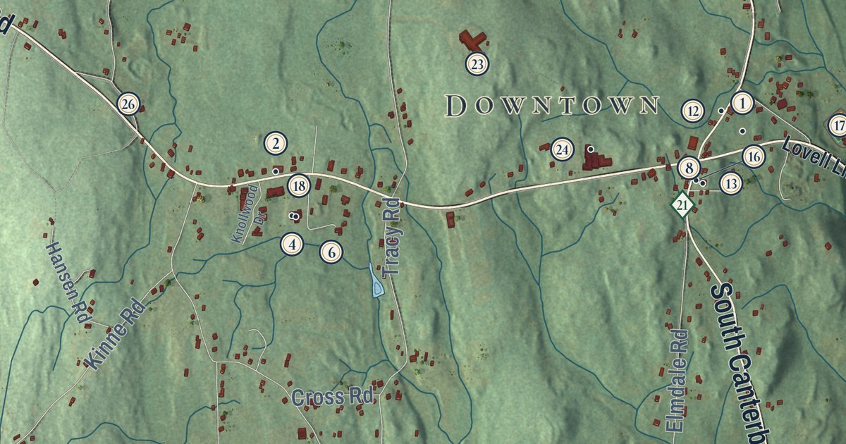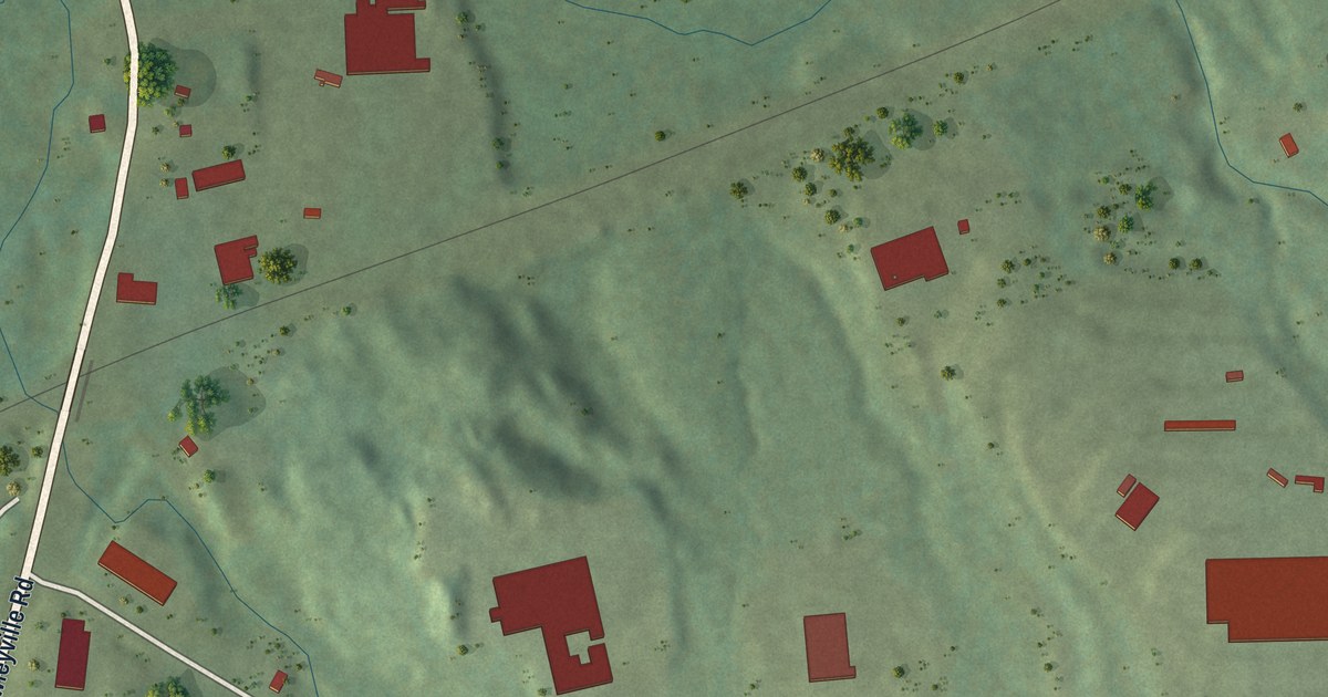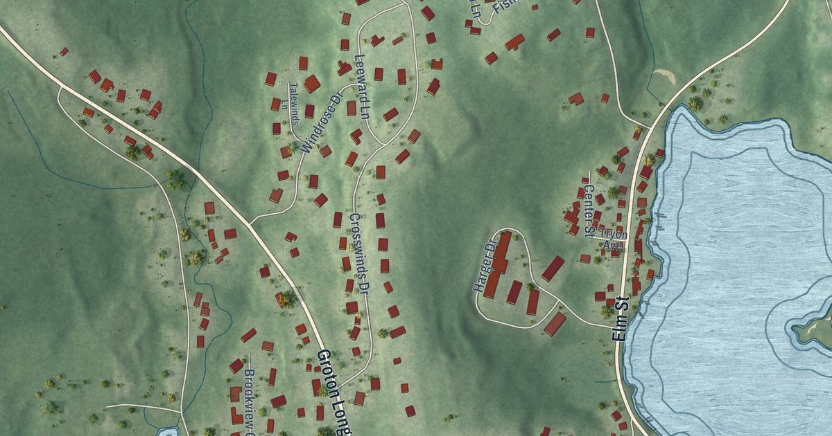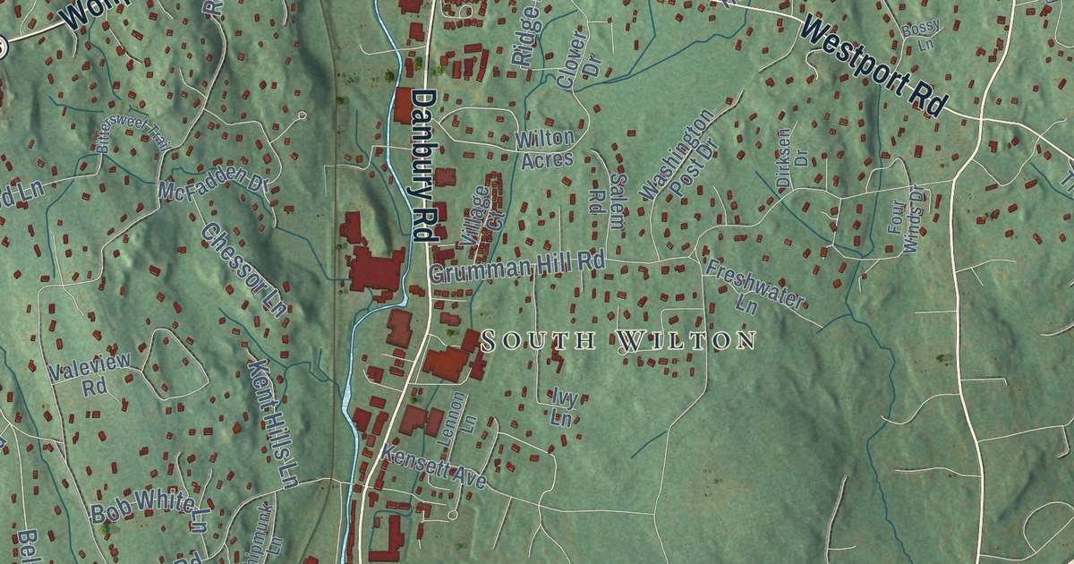
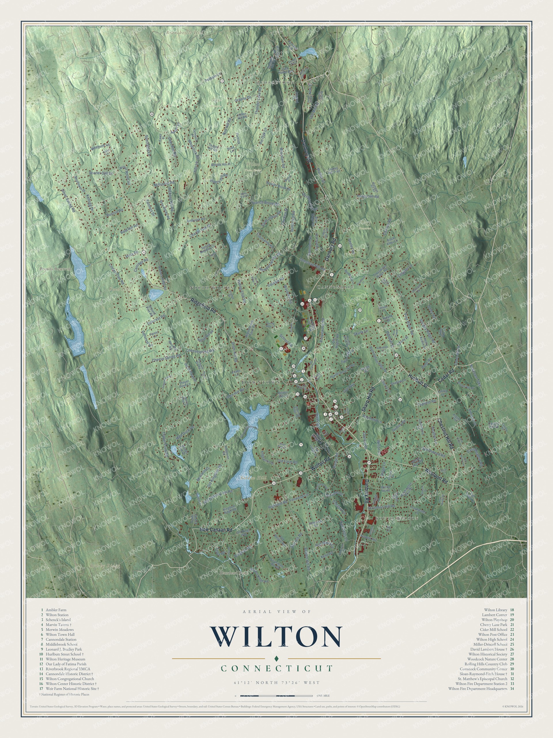
This beautifully detailed map of Wilton, Connecticut was created in 2026 using aerial imagery combined with modern topographical, census, street and landmark data. It’s a one-of-a-kind view of Wilton that combines accurate data with a vintage aesthetic. The map shows every building in its true location, many of the roads carry their names, and the shaded topographic relief shows the shape of the land.
See it on a wall
The Wilton map as an 18 x 24 inch print in a black frame.

Explore an aerial view of Wilton, Connecticut
On the map you’ll find Downtown, Georgetown, Bald Hill, Belden Hill, Branchville Hill, Brushy Ridge, Blanchard Pond, Browns Reservoir, Gregg Preserve, Weir Preserve, Wilton Town Forest, Cannondale, and more. If you look closely you can even find your house accurately drawn in its correct location. Zoom in on the preview to look for yours. Click here to learn more about the history of Wilton.
Take a closer look at the Wilton map
Click to explore a larger preview. The digital watermark does not appear on printed maps.
Names on this map
These names are printed on this map.
Places: Downtown, Georgetown, Bald Hill, Belden Hill, Branchville Hill, Brushy Ridge, Blanchard Pond, Browns Reservoir, Gregg Preserve, Weir Preserve, Wilton Town Forest, Cannondale, South Wilton and North Wilton.
Streets and roads: Danbury Road, Chestnut Hill Road, Hurlbutt Street, Cedar Road, New Canaan Road, Ridgefield Road, Westport Road, Wolfpit Road, Sharp Hill Road, Belden Hill Road, Seir Hill Road, Nod Hill Road.
More street names, A to Z
Ambler Lane, Antler Lane, Bald Hill Road, Belden Hill Lane, Bittersweet Trail, Black Alder Lane, Blue Ridge Lane, Blue Ridge Road, Boas Lane, Bob White Lane, Borglum Road, Bossy Lane, Boulder Brook Road, Branch Brook Road, Breeds Hill Place, Bristol Place, Bryants Brook Road, Buckingham Ridge Road, Bunker Hill Road, Cannon Road, Canterbury Lane, Carriage Road, Catalpa Road, Cavalry Hill Road, Cavalry Road, Charter Oak Drive, Cheesespring Road, Cheese Spring Road, Cherry Lane, Chessor Lane, Chicken Street, Chipmunk Lane, Clover Drive, Cobbs Mill Road, Coley Road, Collinswood Road, Crosswicks Ridge Road, Crowne Pond Lane, Deer Run Road, Deforest Lane, Deforest Road, Dirksen Drive, Drum Hill Road, Duck Pond Place, Dudley Road, Dumplin Hill Road, East Meadow Road, Edgewater Drive, English Drive, Evans Lane, Fairfax Avenue, Fawn Place, Fenwood Lane, Forest Lane, Forge Road, Four Winds Drive, Freshwater Lane, Friendlee Lane, Fullin Lane, Gaylord Drive, Glen Hill Road, Glen Side, Graenest Ridge Road, Granite Drive, Grey Rocks Road, Ground Pine Road, Grumman Hill Road, Heather Lane, Hemmelskamp Road, Henry Austin Drive, Hickory Hill Road, Highfield Road, Hillbrook Road, Honey Hill Road, Honey Hill Trail, Horseshoe Road, Huckleberry Hill Road, Hulda Hill Road, Hunting Ridge Lane, Hyland Drive, Indian Hill Road, Irmgard Lane, Ivy Lane, Keelers Ridge Road, Kellogg Drive, Kensett Avenue, Kent Hills Lane, Kent Road, Kingdom Ridge Road, Kristine Lilly Way, Langner Lane, Ledgewood Drive, Lennon Lane, Liberty Street, Linden Tree Road, Little Fox Lane, Loring Lane, Maplewood Lane, Marks Trail Road, Marvin Ridge Place, Mather Street, Mayflower Drive, McFadden Drive, Middlebrook Farm Road, Millstone Road, Moriarity Drive, Mountain Road, Musket Ridge Road, New Street, Newtown Turnpike, Oak Ledge Lane, Old Boston Road, Old Danbury Road, Old Driftway Drive, Old Farm Road, Old Highway, Old Huckleberry Road, Old Kingdom Road, Old Kings Highway, Old Mill Road, Old Ridgefield Road, Old Wagon Road, Olmstead Hill Road, Orchard Drive, Orems Lane, Own Home Avenue, Parish Road, Partrick Lane, Pelham Lane, Pheasant Run Road, Pilgrim Trail, Pimpewaug Road, Pine Ridge Road, Pin Oak Lane, Pipers Hill Road, Pond Road, Portland Avenue, Powder Horn Hill Road, Quiet Lk, Range Road, Raymond Lane, Reservoir Road, Richdale Drive, Ridge Lane, Riding Club Road, Rivergate Drive, River Ridge Lane, River Road, Ruscoe Road, Ryders Lane, Saint Johns Road, Salem Road, Saunders Drive, Scarlet Oak Drive, School Road, Scribner Hill Road, Seeley Road, Shadow Lane, Signal Hill Road, Silvermine Woods, Silver Spring Road, Skunk Lane, Spectacle Lane, Spoonwood Road, Springbrook Lane, Spruce Meadow Court, Stonebridge Road, Sturges Ridge Road, Sugarloaf Drive, Sunset Hill Road, Sunset Pass, Tall Trees Lane, Tanners Drive, Teapot Hill Road, Telva Road, Thayer Pond Lane, Thayer Pond Road, Thunder Lake Road, Timber Top Trail, Tito Lane, Topfield Road, Trails End Road, Turner Ridge Court, Turtleback Road, Twin Oak Lane, Valeview Road, Village Court, Vista Road, Walnut Place, Wampum Hill Road, Warncke Road, Washington Post Drive, Weeburn Lane, West Church Street, West Meadow Road, Whipstick Road, Wicks End Lane, Wild Duck Road, Wilridge Road, Wilton Acres, Wilton Court, Wilton Hunt Road, Wilton Woods Road, Windy Ridge Place, Woodhill Road, Woods End Drive.
This beautifully detailed map of Wilton makes an attractive addition to your office, library, or den, and it can even be used to teach children the geography and history of the area. It also makes a great gift for someone who left Wilton and still calls it home. When you’re done exploring, click here to get your copy of the Wilton map.