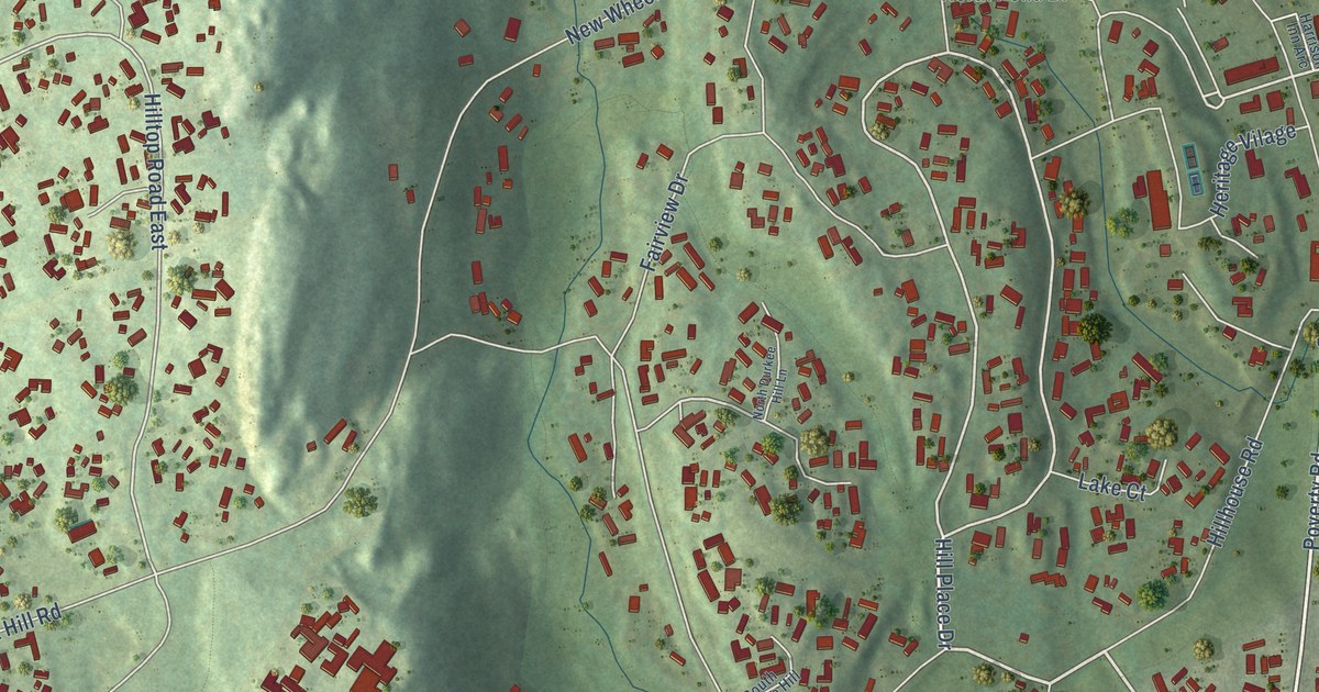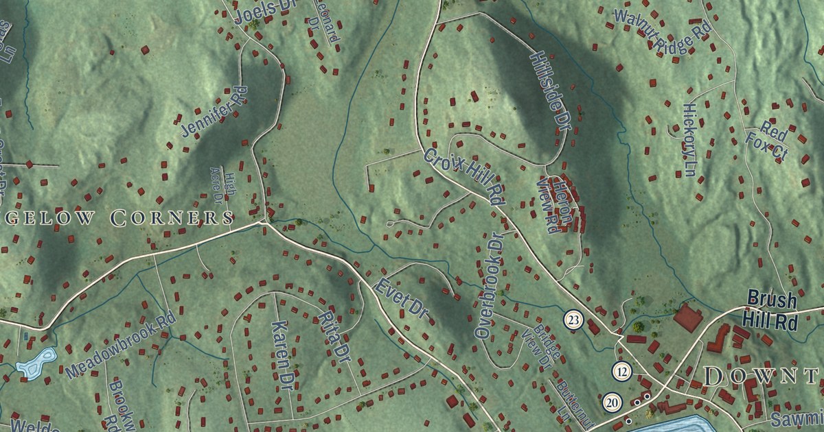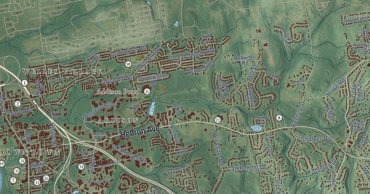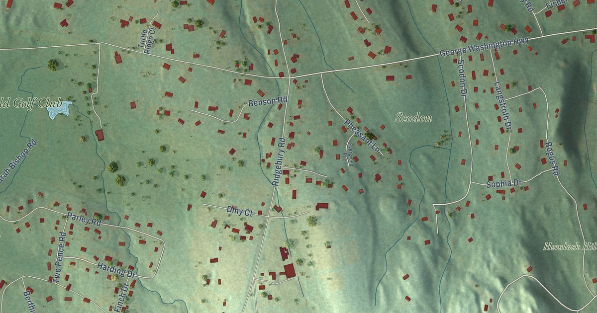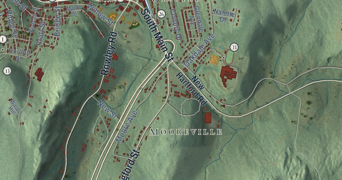
This beautifully detailed map of Winchester, Connecticut was created in 2026 using aerial imagery combined with modern topographical, census, street and landmark data. It’s a one-of-a-kind view of Winchester that combines accurate data with a vintage aesthetic. The map shows every building in its true location, many of the roads carry their names, and the shaded topographic relief shows the shape of the land.
See it on a wall
The Winchester map as an 18 x 24 inch print in a black frame.

Explore an aerial view of Winchester, Connecticut
On the map you’ll find Downtown, Nelsons Corner, Mooreville, Winsted, Babb Hill, Burr Mountain, Cameron Point, Club Island, Beckley Pond, Beecher Pond, Algonquin State Forest, Ehrich Woods, and more. If you look closely you can even find your house accurately drawn in its correct location. Zoom in on the preview to look for yours. Click here to learn more about the history of Winchester.
Take a closer look at the Winchester map
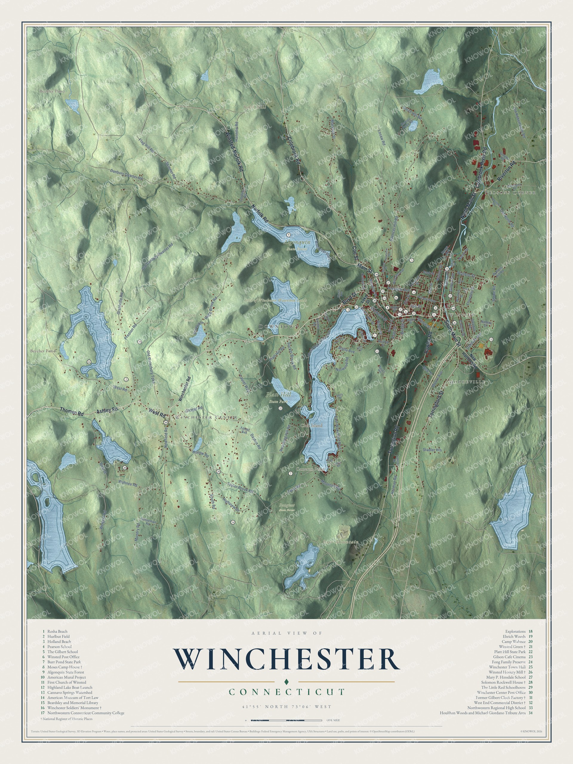
Click to explore a larger preview. The digital watermark does not appear on printed maps.
Names on this map
These names are printed on this map.
Places: Downtown, Nelsons Corner, Mooreville, Winsted, Babb Hill, Burr Mountain, Cameron Point, Club Island, Beckley Pond, Beecher Pond, Algonquin State Forest, Ehrich Woods, Paugnut State Forest, Platt Hill State Park, Rosgen Woods, Town of Winchester Watershed Lands and Winchester Center.
Streets and roads: Main Street, Ashley Road, South Main Street, West Road, North Main Street, Riverton Road, Coe Street, Thomen Road, Winsted-Norfolk Road, Torrington Road, Rowley Road, Norfolk Road.
More street names, A to Z
Alpha Avenue, Baker Street, Bank Street, Birdsall Street, Blue Street, Boyd Street, Bridge Street, Carey Avenue, Chapel Road, Colebrook River Road, Colebrook Road, Colony Drive, Cordano Road, Crescent Street, Danbury Quarter Road, Dayton Road, East Lake Street, East Wakefield Boulevard, Elm Street, Flag Hill Road, Florence Street, Forest Avenue, Gay Street, Gilbert Avenue, Girard Avenue, Glendale Avenue, Grantville Road, Griswold Lane, Groppo Road, Hannifin Road, Herman Road, High Street, Highview Drive, Hinsdale Avenue, Holabird Avenue, Hollow Road, Holmes Road, Horne Avenue, Hubbard Street, Huntington Road, Hurlbut Street, Lake Drive, Lake Street, Lanson Drive, Laurel Way, Losaw Road, Mad River Dam, Manchester Heights, Maple Street, Marshall Street, Meadow Street, Moore Avenue, Mountain Road, Mundry Road, Nalette Drive, Nanni Drive, Newfield Road, New Hartford Road, New Street, Norwood Road, Oakdale Avenue, Oak Street, Old Danbury Quarter Road, Old North Road, Old Robertsville Road, Old Waterbury Turnpike, Overlook Road, Peck Road, Perch Rock Trail, Platt Hill Road, Pratt Street, Preston Road, Reaching Hill Road, Rebillard Road, Ridge Street, River Edge Drive, Rockwell Street, Rowley Pond Road, Royer Street, Rugg Brook Road, Schueman Road, Shore Drive, Skinner Road, Smith Hill Road, South Road, Spencer Hill Road, Spencer Street, Stadler Heights, Stowe Road, Sucker Brook Road, Taylor Brook Road, Torringford Street, Unity Place, Vera Road, Wahnee Road, Waldron Street, Wallens Hill Road, Wallens Street, Walnut Street, Ward's Hill, Weigold Road, West Wakefield Boulevard, White Street, Williams Avenue, Willow Street, Winchester Road.
This beautifully detailed map of Winchester makes an attractive addition to your office, library, or den, and it can even be used to teach children the geography and history of the area. It also makes a great gift for anyone who grew up in Winchester or moved away. When you’re done exploring, click here to get your copy of the Winchester map.