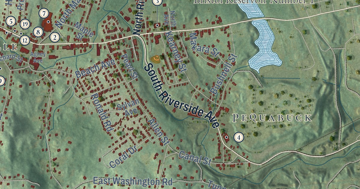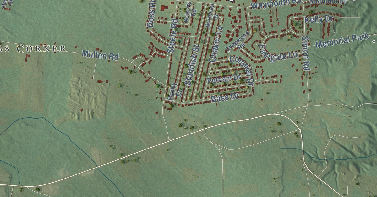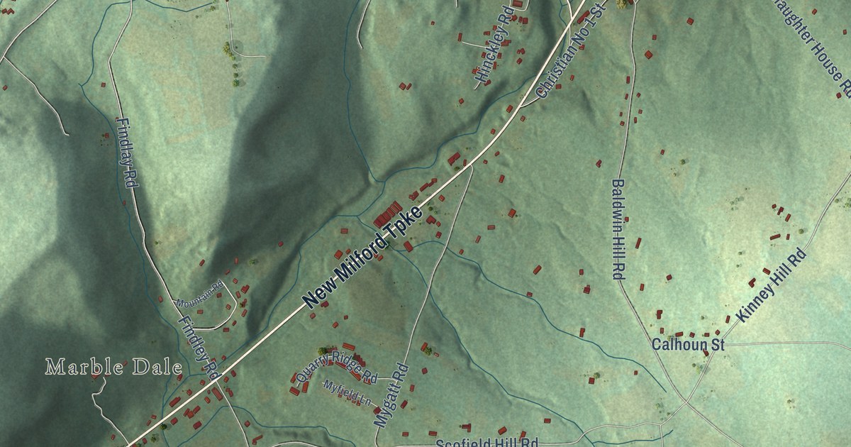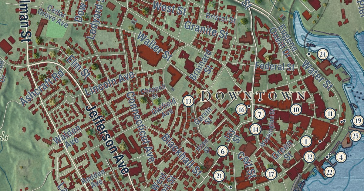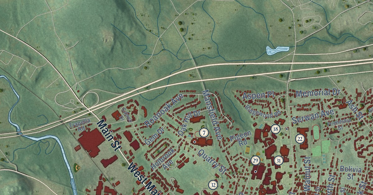
This beautifully detailed map of Windham, Connecticut was created in 2026 using aerial imagery combined with modern topographical, census, street and landmark data. It’s a one-of-a-kind view of Windham that combines accurate data with a vintage aesthetic. The map shows every building in its true location, many of the roads carry their names, and the shaded topographic relief shows the shape of the land.
See it on a wall
The Windham map as an 18 x 24 inch print in a black frame.

Explore an aerial view of Windham, Connecticut
On the map you’ll find Downtown, North Windham, Beaver Hill, Bush Hill, Chestnut Hill, Beaver Brook Pond, Bibbins Pond, Williams Crossing, South Windham, and Johnson Park, along with Main Street, Brick Top Road, and more. If you look closely you can even find your house accurately drawn in its correct location. Zoom in on the preview to look for yours. Click here to learn more about the history of Windham.
Take a closer look at the Windham map
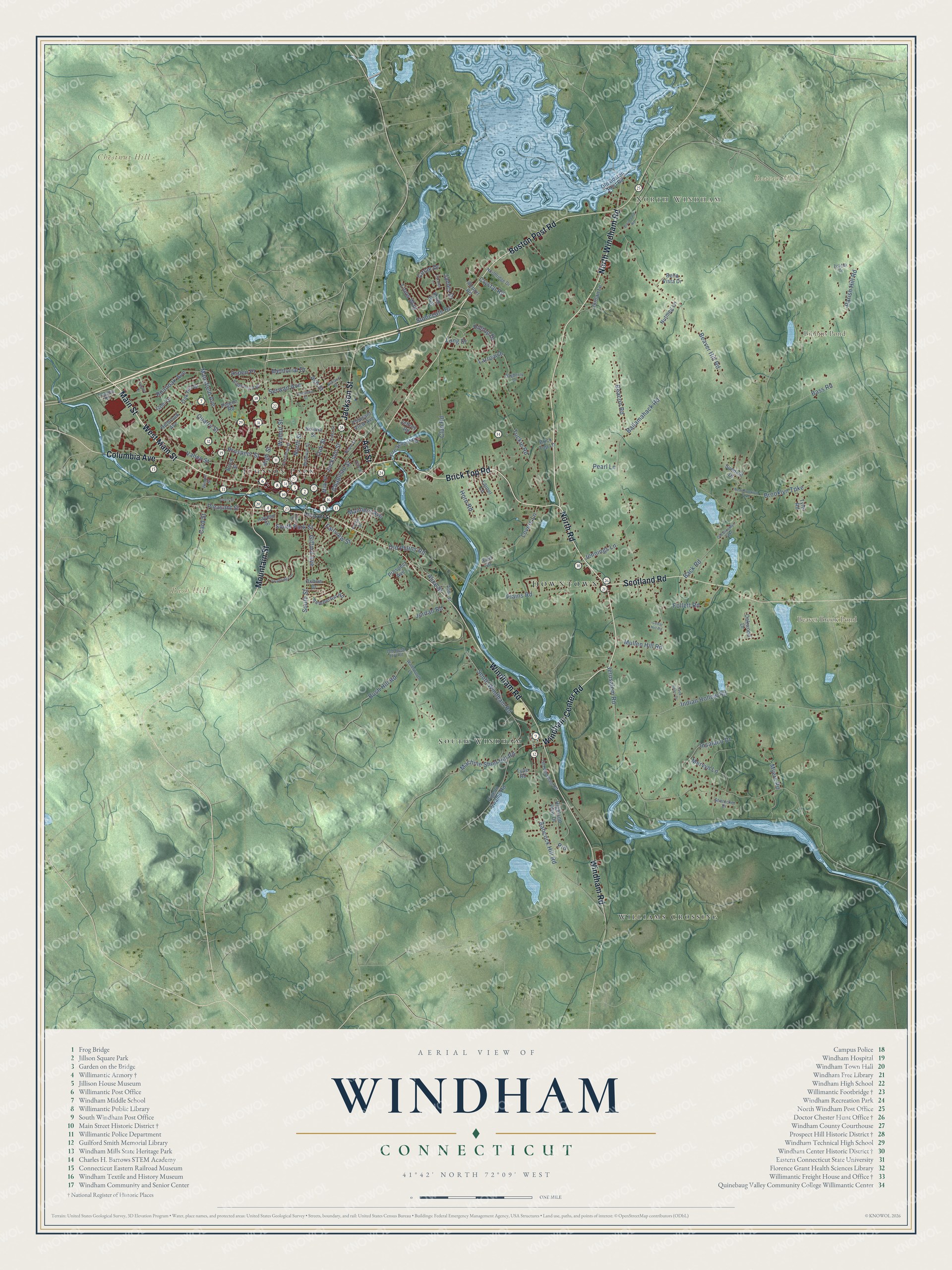
Click to explore a larger preview. The digital watermark does not appear on printed maps.
Names on this map
These names are printed on this map.
Places: Downtown, North Windham, Beaver Hill, Bush Hill, Chestnut Hill, Beaver Brook Pond, Bibbins Pond, Williams Crossing, South Windham and Johnson Park.
Streets and roads: Main Street, Brick Top Road, North Road, North Windham Road, Windham Center Road, West Main Street, Scotland Road, Columbia Avenue, Jackson Street, Boston Post Road, Mountain Street, Windham Road.
More street names, A to Z
Abbe Street, Airport Road, Alice Street, Ashland Street, Ash Street, Aspen Place, Babcock Hill Road, Back Road, Ballamahack Road, Bass Road, Bayberry Lane, Beacon Road, Beaver Hill Road, Bella Vista Drive, Bellevue Street, Birch Street, Bolivia Street, Boulevard Road, Brick Top Lane, Brooklyn Turnpike, Bush Hill Road, Cameo Drive, Card Street, Carolyn Lane, Cedar Hill Road, Chapman Street, Chestnut Street, Circle Drive, Club Road, Crystal Road, Davis Street, Earl Drive, Elm Street, Fairview Street, Fire School Road, Follett Road, Friendship Street, Gem Drive, Gifford Avenue, Hayden Street, Highland View Drive, High Street, Hilltop Drive, Holbrook Avenue, Hope Street, Horn Road, Indian Hollow Road, Insalaco Drive, Jack Henry Drive, James Drive, Jeffrey Road, Jennings Lane, Jerusalem Road, John Street, Jordan Lane, Jordan Road, Larrow Drive, Laurel Lane, Lima Street, Lions Way, Long Drive, Lovers Lane, Machine Shop Hill Road, Manners Avenue, Mansfield Avenue, Memorial Drive, Mervyn Lane, Milk Street, Mullen Hill Road, Myers Road, New Brooklyn Turnpike, Northridge Drive, North Street, Nutmeg Lane, Oak Hill Drive, Oak Street, Oakwood Drive, Old Boston Post Road, Old Brooklyn Turnpike, Old Bush Hill Road, Old Plains Road, Old Windham Road, Oxbow Drive, Parish Hill Road, Pearl Lane, Pemberton Road, Pigeon Road, Pigeon Swamp Road, Plains Road, Pleasant Street, Pleasant View Avenue, Pond Way, Potter Street, Prd, Prospect Avenue, Prospect Street, Quarry Street, Ridgewood Road, Roanoak Avenue, Serwan Avenue, Shetucket Drive, South Park Street, Southridge Drive, South Street, South Windham Road, Stonegate Drive, Sundale Drive, Trapella Road, Tuckie Road, Tyler Road, Type Road, Valley Street, Wadsworth Lane, Walnut Street, Wilson Street, Zoldak Drive.
This beautifully detailed map of Windham makes an attractive addition to your office, library, or den, and it can even be used to teach children the geography and history of the area. It also makes a great gift for anyone with Windham roots. When you’re done exploring, click here to get your copy of the Windham map.