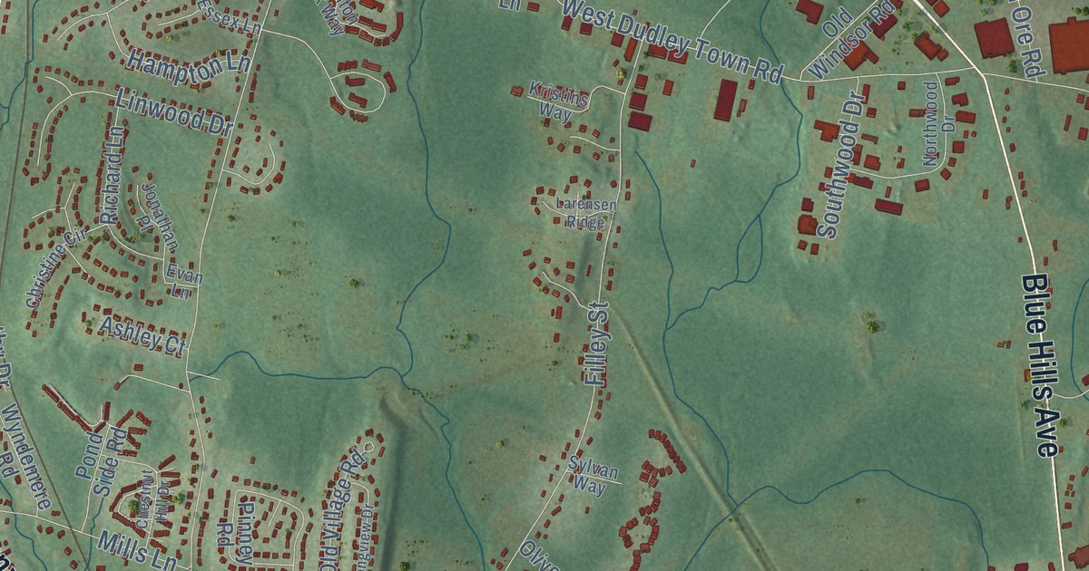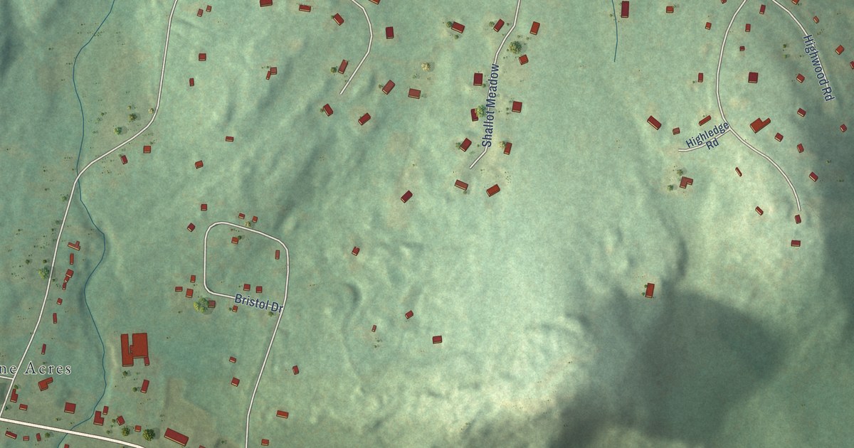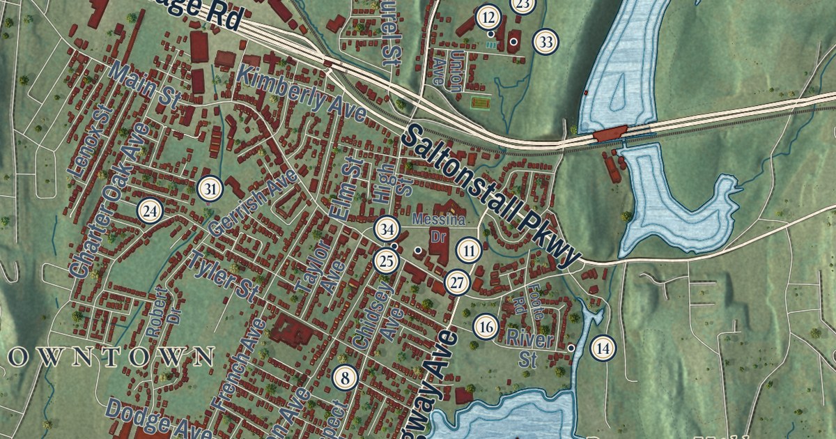
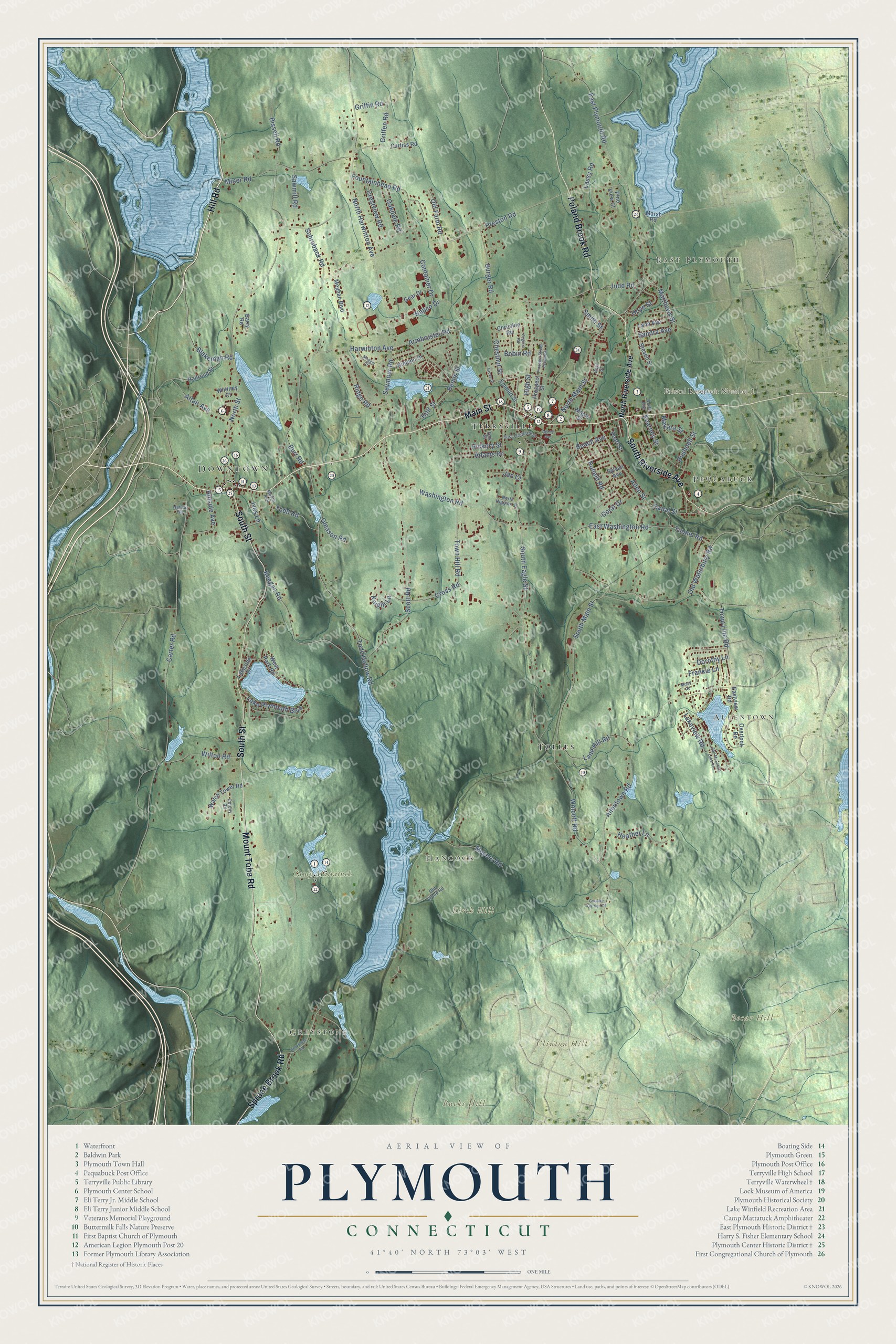
This beautifully detailed map of Plymouth, Connecticut was created in 2026 using aerial imagery combined with modern topographical, census, street and landmark data. It’s a one-of-a-kind view of Plymouth that combines accurate data with a vintage aesthetic. The map shows every building in its true location, many of the roads carry their names, and the shaded topographic relief shows the shape of the land.
See it on a wall
The Plymouth map as an 18 x 24 inch print in a black frame.

Explore an aerial view of Plymouth, Connecticut
On the map you’ll find Downtown, Greystone, East Plymouth, Allentown, Pequabuck, Hancock, Becar Hill, Birch Hill, Bucks Hill, Clinton Hill, Bristol Reservoir Number 1, Camp Mattatuck, and more. If you look closely you can even find your house accurately drawn in its correct location. Zoom in on the preview to look for yours. Click here to learn more about the history of Plymouth.
Take a closer look at the Plymouth map
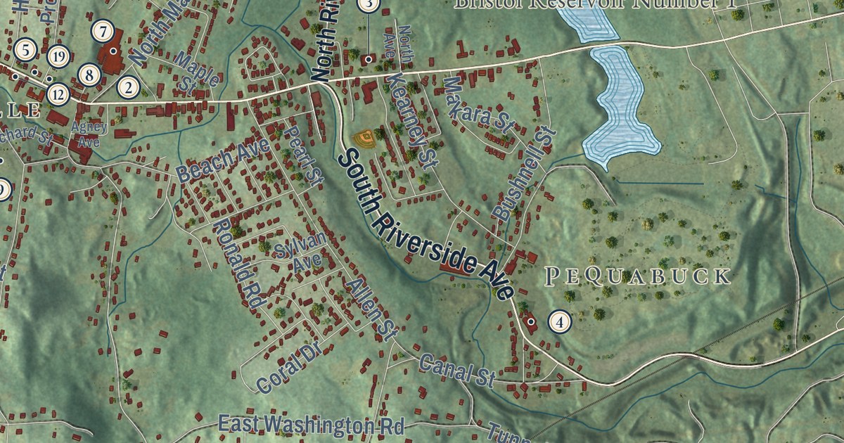
Click to explore a larger preview. The digital watermark does not appear on printed maps.
Names on this map
These names are printed on this map.
Places: Downtown, Greystone, East Plymouth, Allentown, Pequabuck, Hancock, Becar Hill, Birch Hill, Bucks Hill, Clinton Hill, Bristol Reservoir Number 1, Camp Mattatuck, Tolles and Terryville.
Streets and roads: Hill Road, Main Street, South Riverside Avenue, Mount Tobe Road, South Street, Poland Brook Road, Spruce Brook Road, South Main Street, East Plymouth Road, Wolcott Road, North Street, South Eagle Street.
More street names, A to Z
Adams Drive, Agney Avenue, Allen Street, Allentown Road, Altair Avenue, Armbruster Road, Barry Road, Beach Avenue, Bemis Street, Bissell Road, Blakeman Road, Bobin Road, Burger Road, Burr Road, Bushnell Street, Canal Street, Carter Road, Chestnut Street, Christine Road, Colony Road, Container Drive, Coral Drive, Country Garden Court, Crestview Road, Cross Road, Curtiss Road, Dorothy Lane, East Orchard Street, Eastview Road, East Washington Road, Emmett Street, Fall Mountain Lake Road, Fountainhead Road, Frankie Lane, Gear Drive, Gleason Road, Gold Street, Greystone Road, Griffen Road, Griffin Road, Grove Street, Haney Road, Harwinton Avenue, Heather Lane, Hickory Street, High Street, Hillside Avenue, Holt Street, Hoye Street, Ives Lane, Jan Court, Judd Road, Kearney Street, Keegan Road, Kimann Drive, Knight Lane, Lake Plymouth Boulevard, Lakeside Drive, Lakeview Road, Lane Hill Road, Lassy Road, Lynn Avenue, Maggie Court, Makara Street, Maple Avenue, Maple Street, Marsh Road, Matthews Street, Meghan Boulevard, Meyers Road, Minor Road, Missy Road, Napco Drive, North Avenue, North Harwinton Avenue, North Higgins Street, North Main Street, North Riverside Avenue, Oakdale Road, Oak Street, Old Farm Road, Old Waterbury Road, Old Wood Road, Overlook Road, Pearl Street, Pine View Court, Preston Road, Prospect Street, Prospect Street Extended, Railroad Street, Ridge Road, Ronald Road, Sandra Avenue, Sawmill Road, Schroback Road, Scott Road, Seymour Road, Smith Street, Steven Street, Sylvan Avenue, Todd Hollow Road, Todd Road, Town Hill Road, Town Line Road, Tunnel Road, Virginia Road, Washington Road, Watch Tower Road, West Park Road, Whitney Court, Wilton Road.
This beautifully detailed map of Plymouth makes an attractive addition to your office, library, or den, and it can even be used to teach children the geography and history of the area. It also makes a great gift for someone who left Plymouth and still calls it home. When you’re done exploring, click here to get your copy of the Plymouth map.