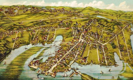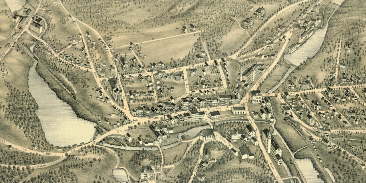
This historic map of Stafford Springs, Connecticut was created in 1878 by O.H. Bailey, a prominent 19th century map maker. The map shows a bird’s eye view of the town as it used to be, including street names and old landmarks.
Landmarks on the map include St. Mary’s Convent, Mineral Springs Manufacturing Company, Stafford National Bank, Stafford Granite Mills, Converseville Company, Phoenix Woolen Company, Rowitser Brothers, Warren’s Block, Comins Carriage Shop, Bidwell & Smith Meat Market, Brooks Road Scrapers, Haymarket Square, and more.
This historic map of Stafford Springs was restored by KNOWOL. Reproductions of the map are available here.
Bird’s Eye View of Stafford Springs, CT in 1878
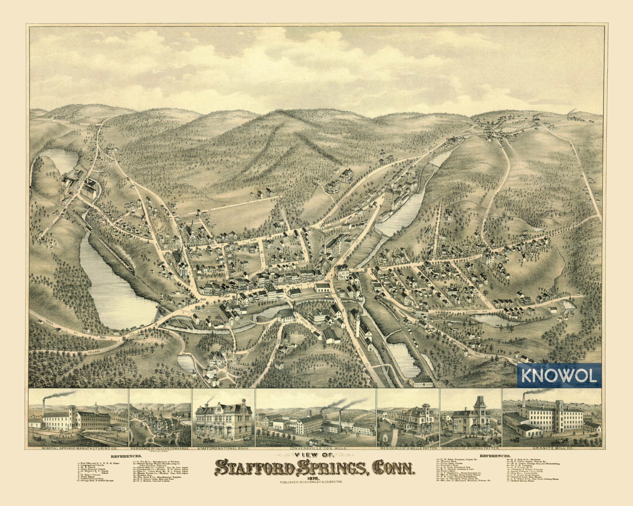
This old map of Stafford Springs makes an attractive addition to your office, library, or den and can even be used to teach children the geography and history of the area. When you’re done exploring, click here to get your copy.