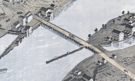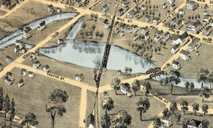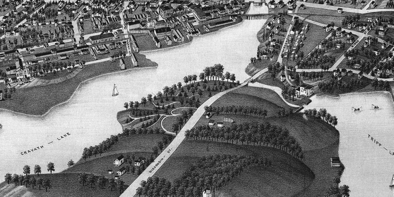
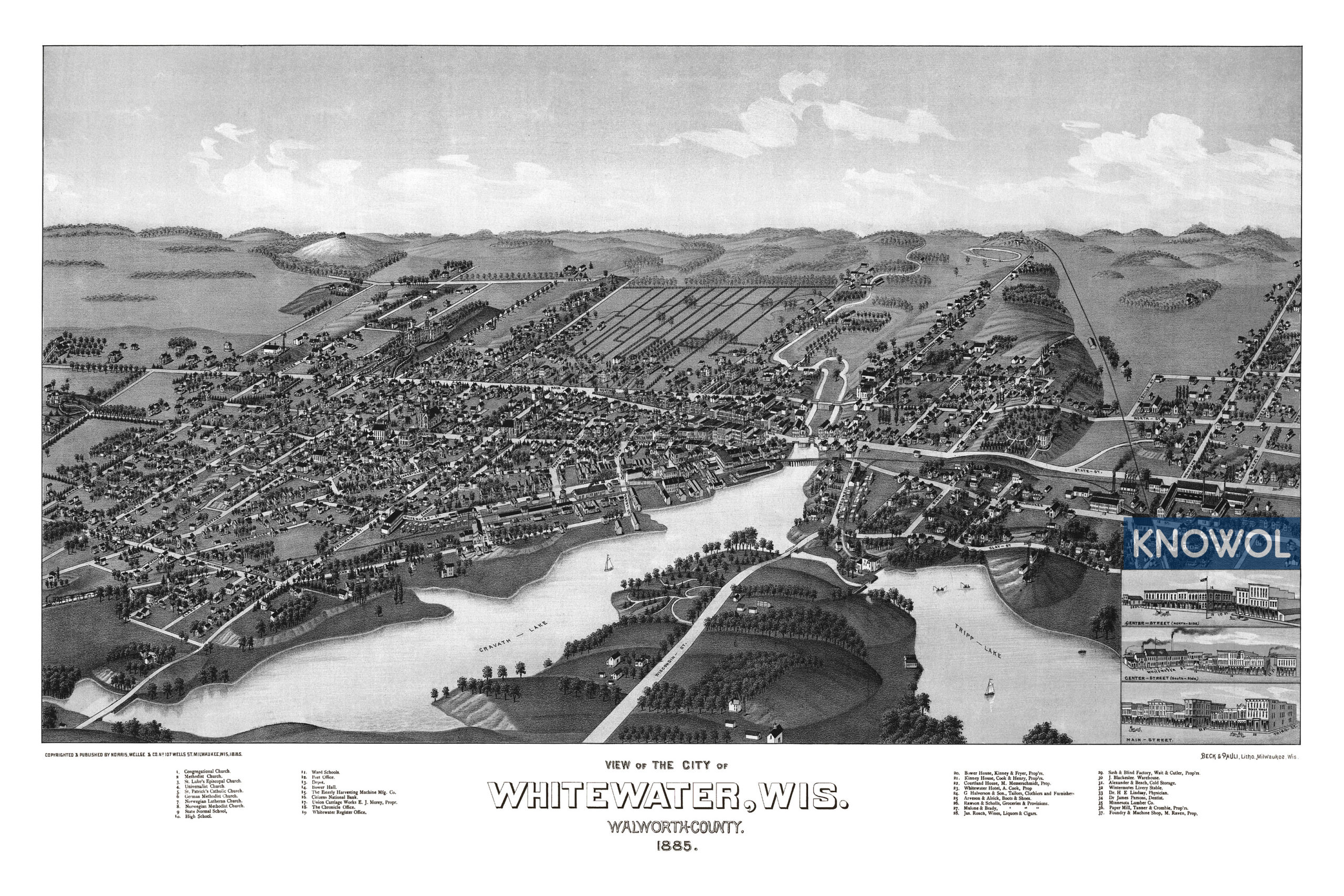
This historic map of Whitewater, Wisconsin was created in 1885 by George E. Norris & Henry Wellge, prominent 19th century map makers. The map shows a bird’s eye view of Whitewater, including street names and old landmarks.
Landmarks on the map include St. Luke’s Episcopal Church, St. Patrick’s Catholic Church, German Methodist Church, Norwegian Lutheran Church, Ward Schools, Bower Hall, Whitewater Register Office, Tripp-Lake, Union Carriage Works, Esterly Harvesting Machine Manufacturing Company, The Chronicle Office, and more.
This vintage map of Whitewater, WI was restored by KNOWOL. Reproductions of the map are available here.
Bird’s Eye View of Whitewater, Wisconsin in 1885
This old map of Whitewater makes an attractive addition to your office, library, or den and can even be used to teach children the geography and history of the area. When you’re done exploring, click here to get your copy.