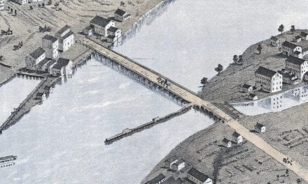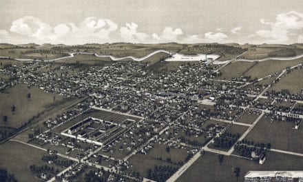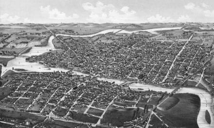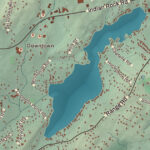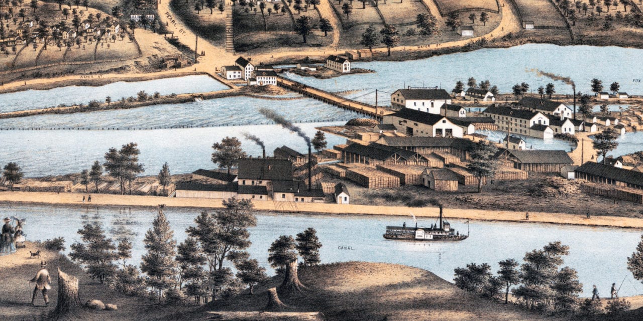
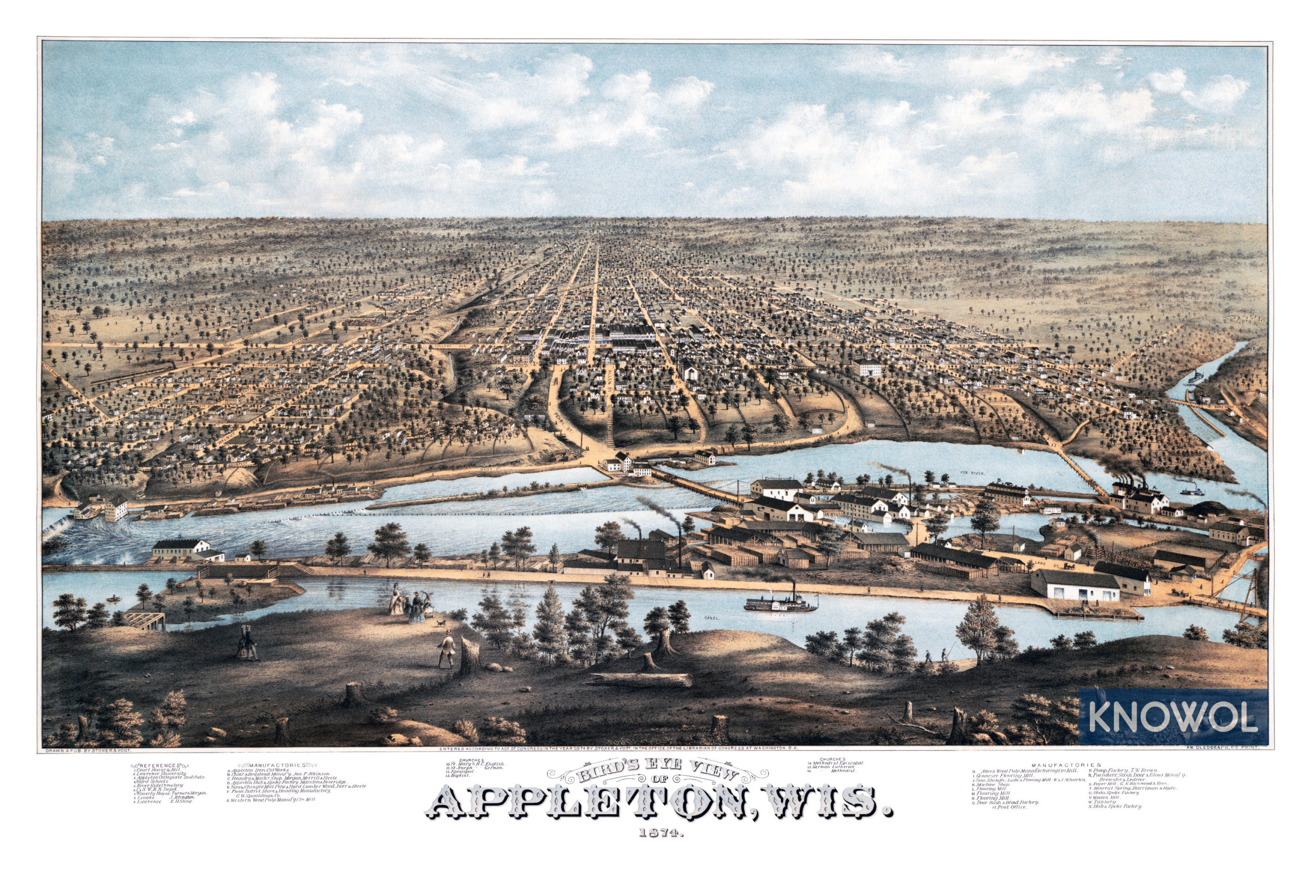
This historic map of Appleton, Wisconsin was created in 1874 by J.J. Stoner and C.H. Vogt, prominent 19th century map makers. The map shows a bird’s eye view of the area as it used to be, including street names and old landmarks.
Landmarks on the map include Appleton Collegiate Institute, Lawrence University, Waverly House, Appleton Iron Company, Appleton Hub & Spoke Company, Gennesee Flouring Mill, Mineral Spring, Woolen Mill, churches, and more.
This historic map of Appleton has been restored by KNOWOL. Reproductions of the restored map are available here.
Historic Old Map of Appleton, Wisconsin from 1874
This vintage map of Appleton makes an attractive addition to your office, library, or den, and can even be used to teach children the geography and history of the area. When you’re done exploring, click here to get your copy of the restored map.