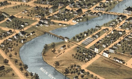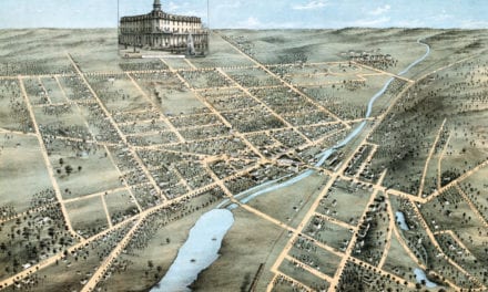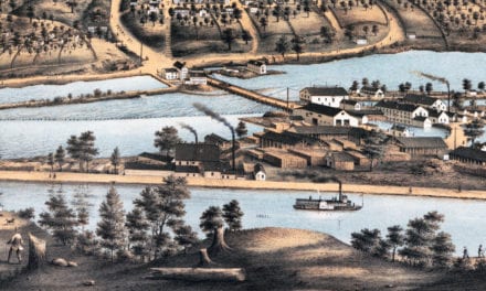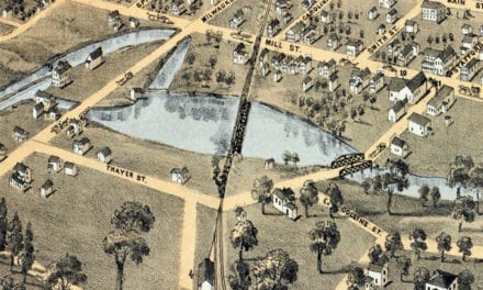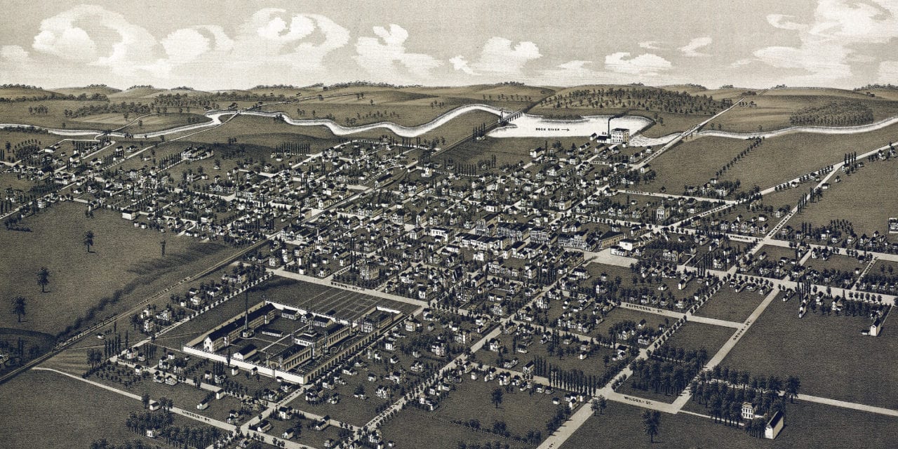
This historic old map of Waupun, Wisconsin was created in 1885 by George Norris and Henry Wellge, two prominent 19th century cartographers. The map shows a bird’s eye view of Waupun as it used to be, including street names and old landmarks.
Landmarks on the map include Waupun Opera House, Wisconsin State Prison, Reynolds House, City Hotel, Railroad House, Times Office, The Norwegian Plow Company, Morris Carriage Manufactory, McFarland Blacksmithing & Wagon Works, Peter Seifert’s Waupun Brewery, Warren Brothers Livery and Bus Line, Bryce & Furguson Hardware, Rowells & Donovan Wines, Liquors, and Pool Room, grain elevators, churches, and more.
This historic map of Waupun, WI has been restored by KNOWOL. Reproductions of the map are available here.
Bird’s Eye View of Waupun, Wisconsin in 1885
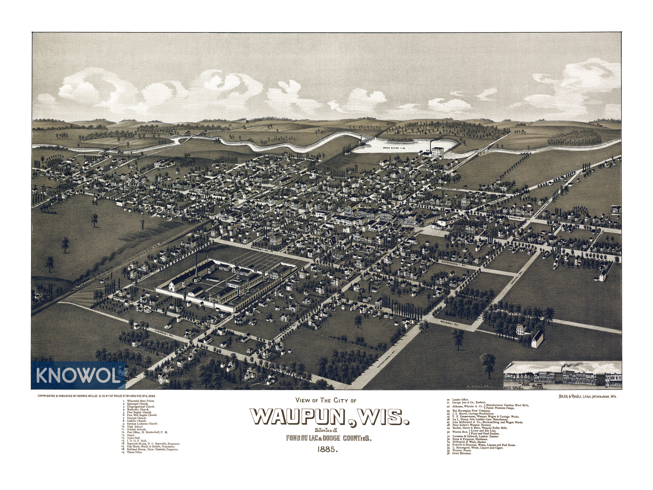
This historic map of Waupun will make an attractive addition to your office, library, or den and can even be used to teach children the geography and history of the area. When you’re done exploring, click here to get your copy.