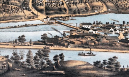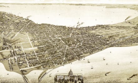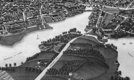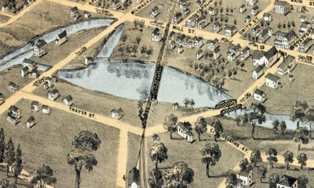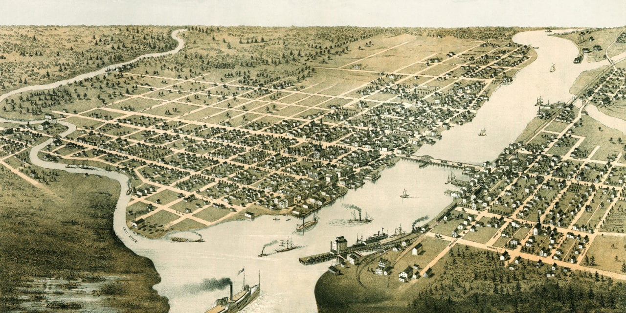
This map of Green Bay, Wisconsin was created in 1867 by Albert Ruger, a prominent 19th century map maker. The map has been lovingly restored by the team at KNOWOL. Reproductions of the restored map are available through our store. A high resolution version can be viewed below.
The map shows a bird’s eye view of Green Bay, WI in 1867. Landmarks on the map include Beaumont House, Green Bay Hotel, Chicago and North Western Railway Depot, School Houses, and the remains of Fort Howard.
Bird’s Eye View of Green Bay, Wisconsin in 1867
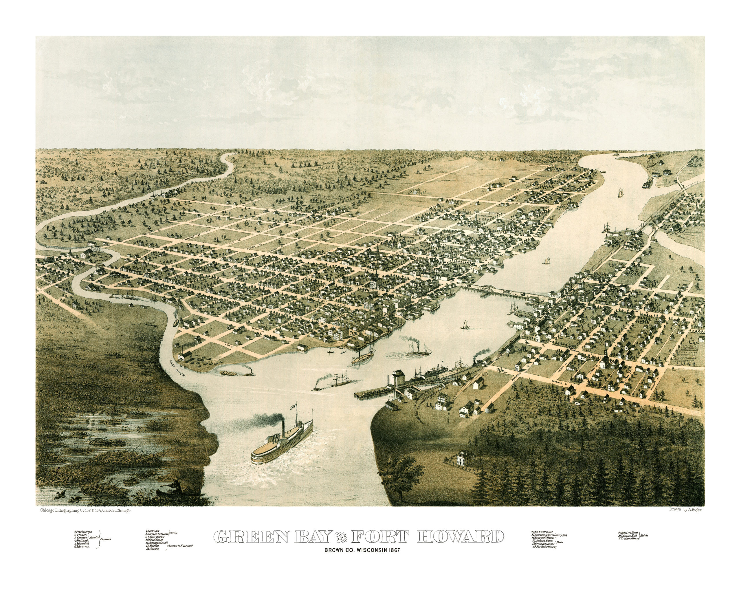
This vintage map will make an attractive addition to your home or office, and can even be used to teach children the geography and history of Green Bay. Each reproduction is printed on museum quality, archival paper to ensure that this piece of Green Bay history can be passed on to the next generation. Click here to get your copy of the map.