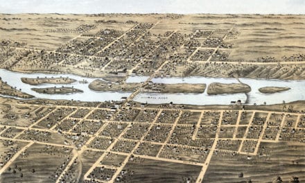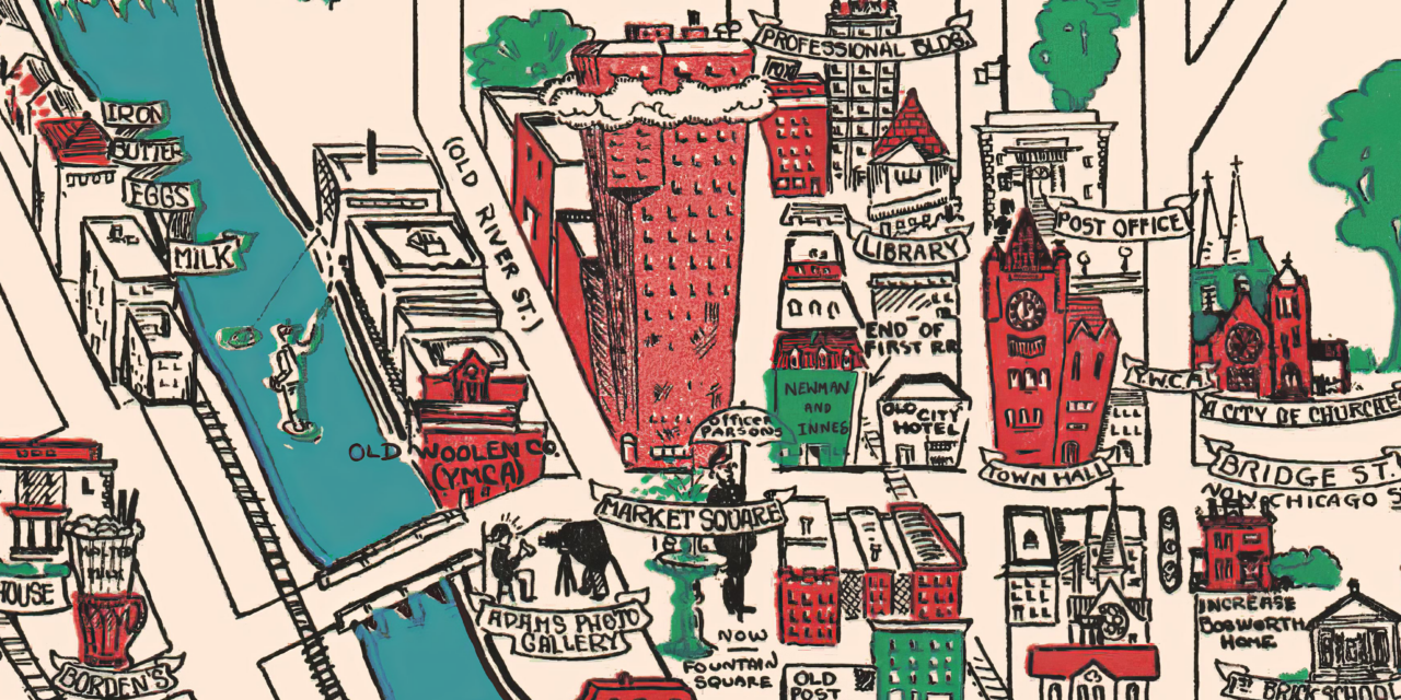
This vintage map is titled “Elgin Past and Present, and was produced in 1930 by the Elgin Branch of the American Association of Women. This animated historical map was created ninety five years after the town was formed, and highlights historical sights and landmarks.
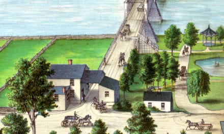
Historic Elgin landmarks on the map include Trout Park, The Fox River, McKinley School, Audubon Museum, Elgin High School, Raymond Homestead, Paynes “Hoss Car”, Fox River Railroad, Elgin BBQ, Old Woolen Company, Market Square, Turner Hall, and more.
This vintage map of Elgin has been lovingly restored by KNOWOL. Reproductions of the restored map are available here.
Vintage Map of Elgin, Illinois from 1930
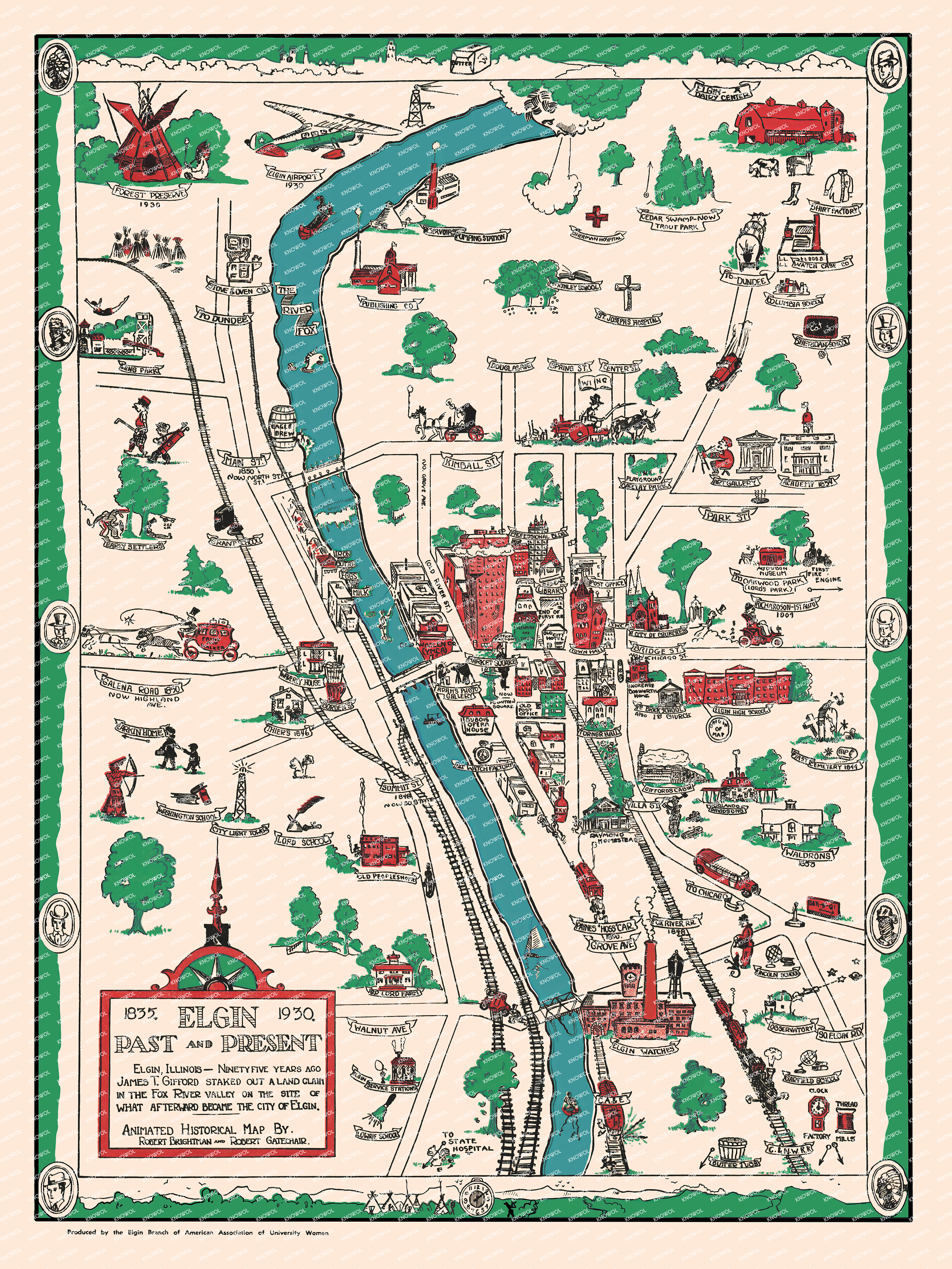
This beautifully restored map of Elgin makes an attractive addition to your office, library, or den and can even be used to teach children the geography and history of the area. When you’re done exploring, click here to get your copy of the restored map.