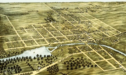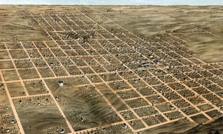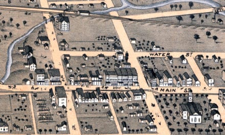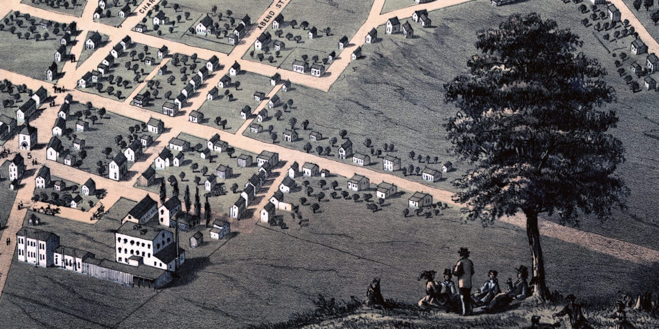
This historic map of Belleville, Illinois was created in 1867 by Albert Ruger, a prominent 19th century map maker. The map shows a bird’s eye view of the area as it once was, including street names and old landmarks.
Landmarks on the map include Public Square, Court House, District School Houses, Turner Hall, Engine Houses, Railroad Depot, Market House, Coal Mines, Convent of the Immaculate Conception and more.
This historic map of Belleville was restored by KNOWOL. Reproductions of the restored map are available in our store. Explore the full map below.
Vintage Map of Belleville, Illinois from 1867
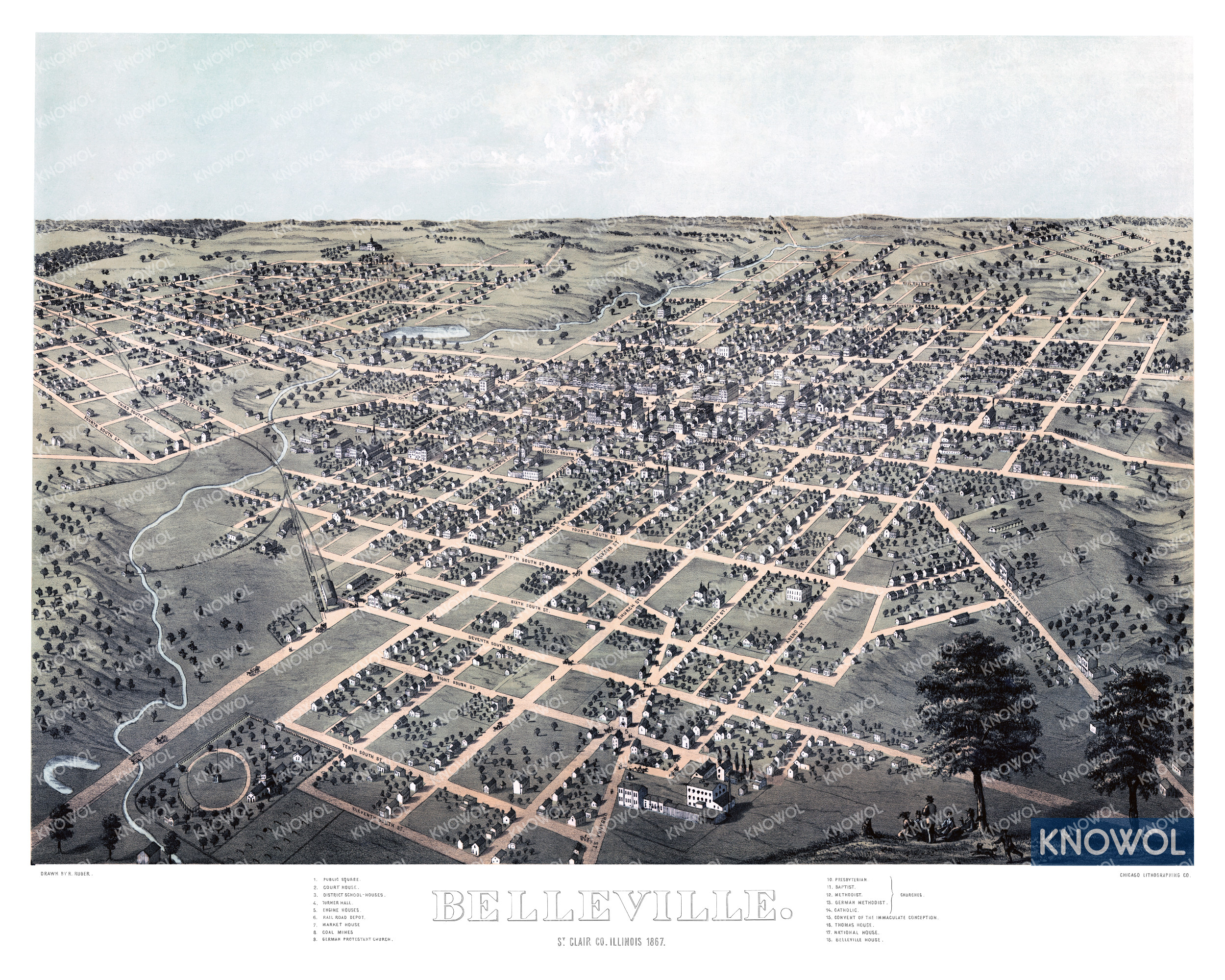
This beautifully restored map of Belleville will make an attractive addition to your office, library, or den and can even be used to teach children the geography and history of the area. When you’re done exploring, click here to get your copy of the restored map.