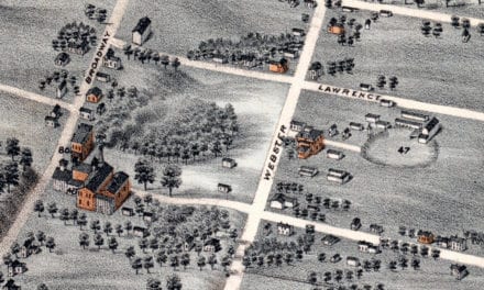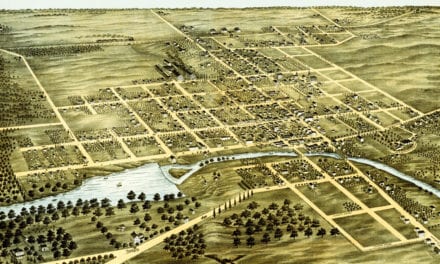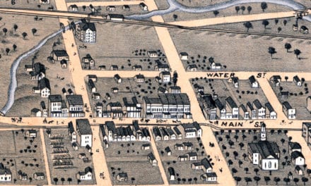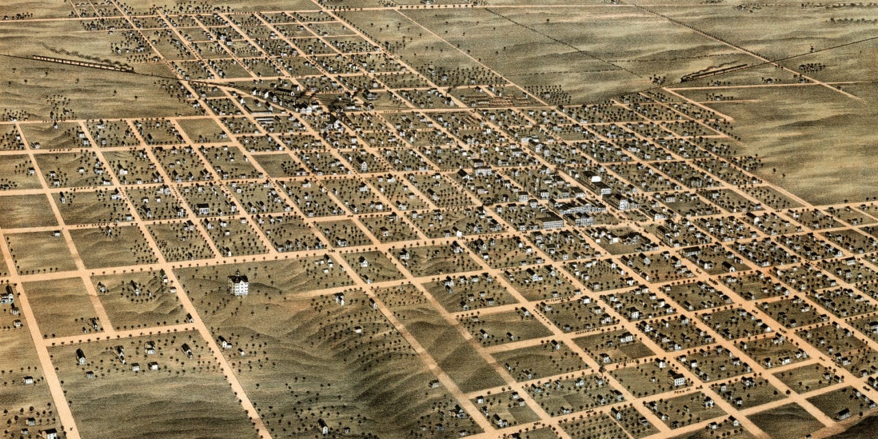
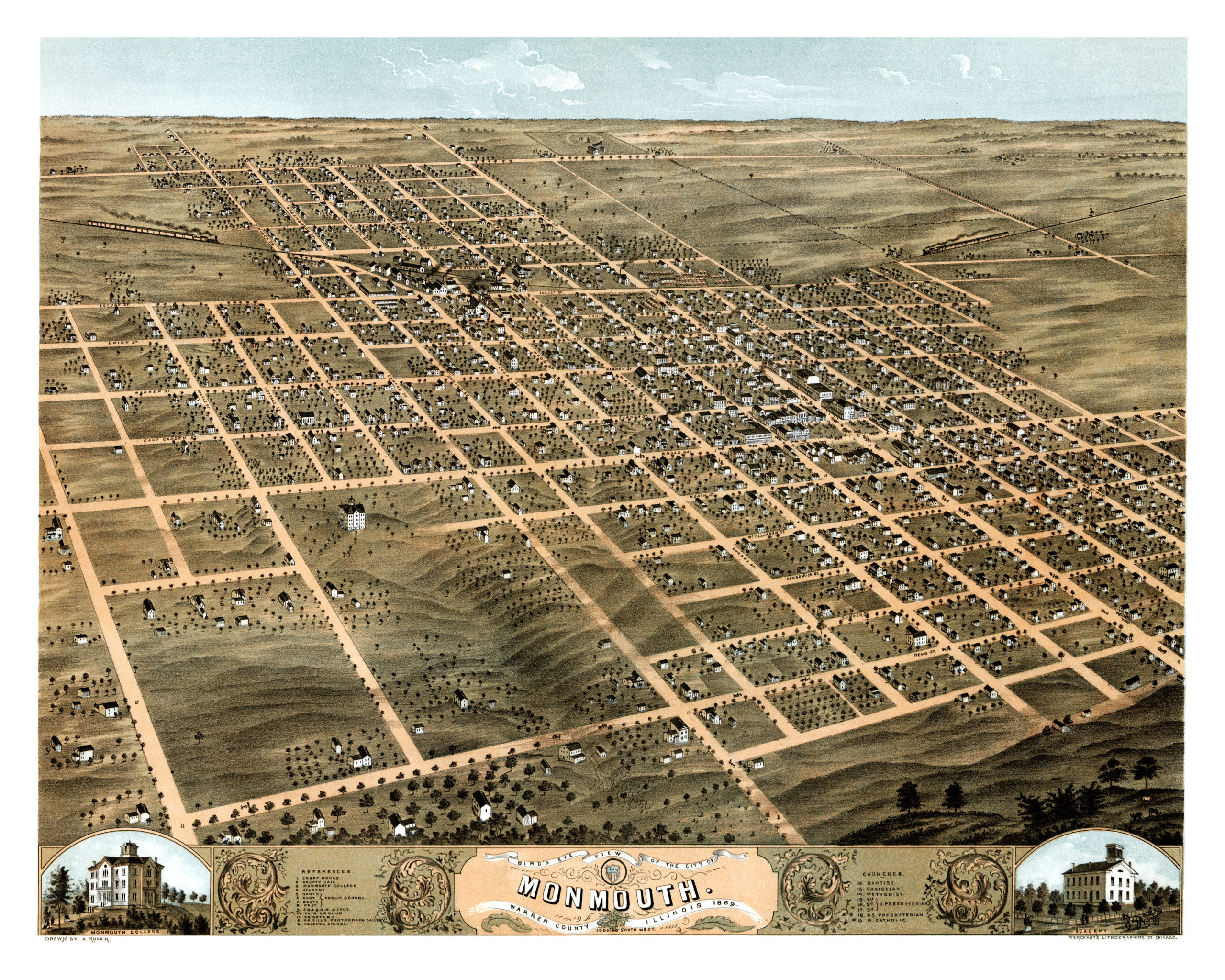
This map of Monmouth, Illinois was created in 1869 by Albert Ruger, a prominent 19th century map maker. The map shows a bird’s eye view of Monmouth as it was, including street names and old landmarks.
The map shows a bird’s eye view of Monmouth looking South West. Landmarks on the map include Monmouth Academy, Monmouth College, Fair Grounds, Cemetery, Hamill’s Photograph Gallery and North, East, South and West Public Schools, in addition to one “Colored School”.
This historic map of Monmouth has been restored by KNOWOL. Reproductions of the map are available here.
Bird’s Eye View of Monmouth, Illinois in 1869
This map of Monmouth will make an attractive addition to your office, library, or den and can even be used to teach children the geography and history of the area. When you’re done exploring, click here to get your copy.