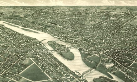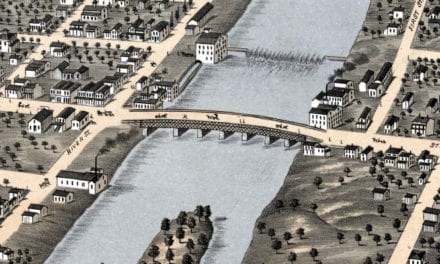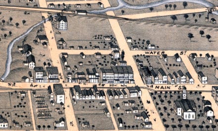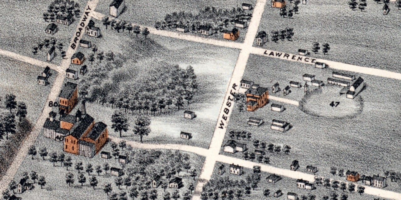
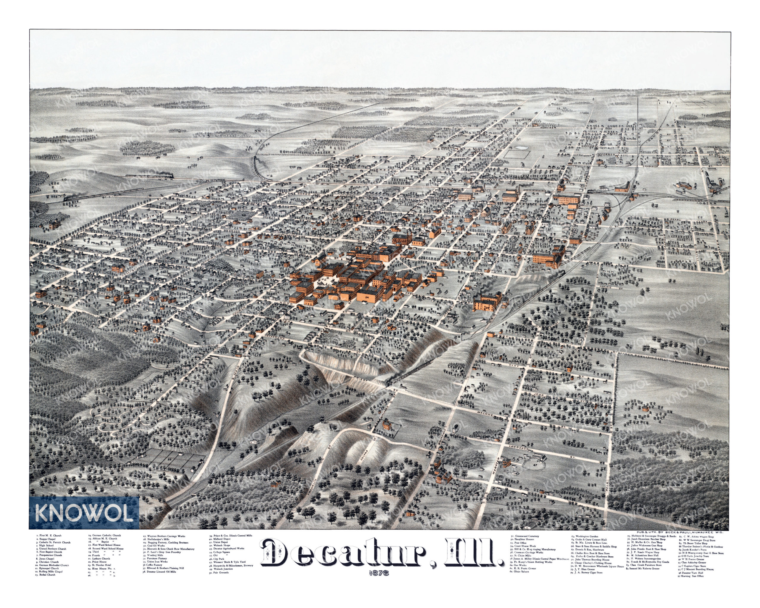
This historic map of Decatur, Illinois was created in 1878 by Beck & Pauli, prominent 19th century map makers. The map shows a bird’s eye view of the city as it used to be, including street names and old landmarks.
Landmarks on the map include Schneider’s Beer Hall, Barney’s Cigar Store, Craemer’s Carriage Works, Cheap Charley’s Clothing House, Brenneman’s Wholesale Liquor, Danzeisen Butcher Shop, Weber’s Summergarden, Aikin’s Wagon Shop, and more.
This historic map of Decatur been restored by KNOWOL. Reproductions of the restored map are available here.
Historic Old Map of Decatur, Illinois from 1878
This vintage map of Decatur makes an attractive addition to your office, library, or den, and can even be used to teach children the geography and history of the area. When you’re done exploring, click here to get your copy of the restored map.