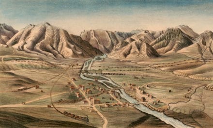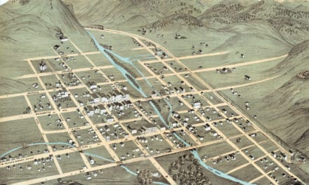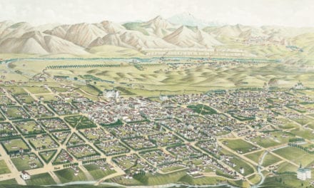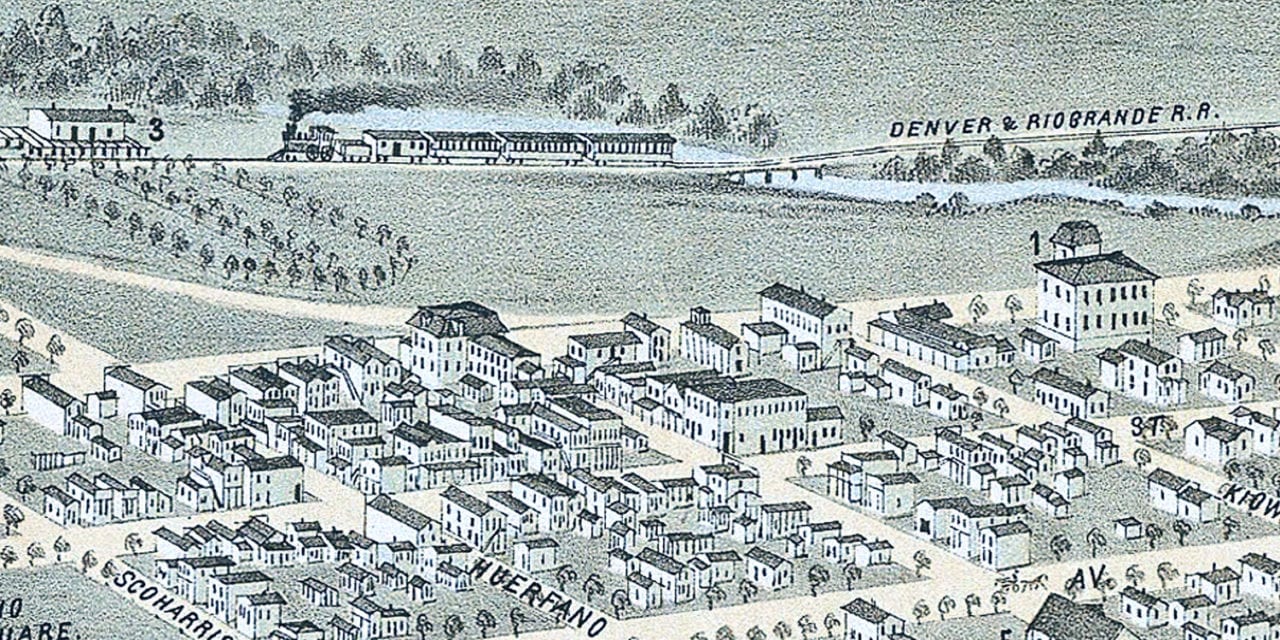
This historic map is the earliest known bird’s eye view of Colorado Springs, Colorado City and Manatou. The map was created in 1874 by E.S. Glover, a prominent 19th century map maker. The map shows a bird’s eye view of the area as it used to look, including street names and old landmarks.
Landmarks on the map include County Court House, Railroad Depot, Pike’s Peak, Bear Creek Canon, Engleman’s Canon, Ute Pass, Garden of the Gods, Colorado City Hotels, and more.
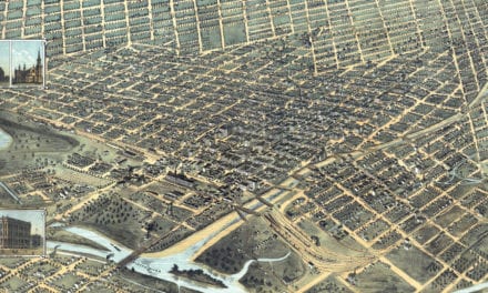
This historic map of Colorado Springs has been restored by KNOWOL. Reproductions of the restored map are available here.
Historic Old Map of Colorado Springs, Colorado from 1874
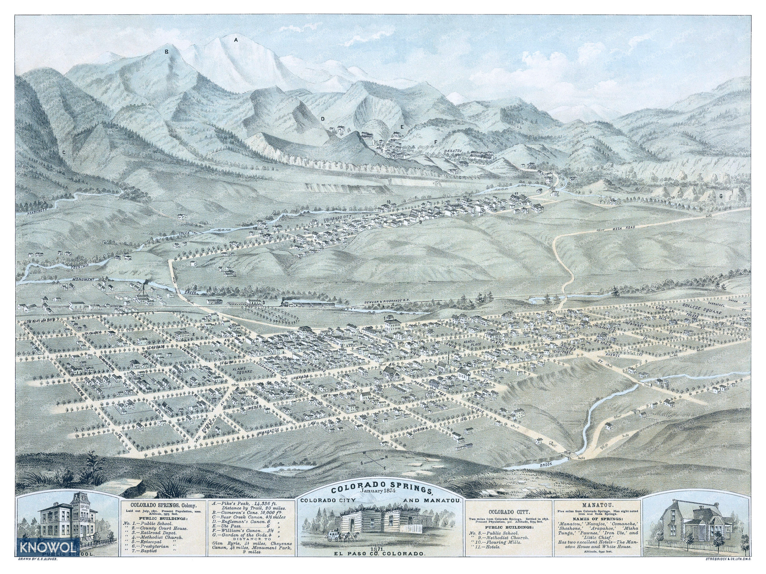
This vintage map of El Paso County makes an attractive addition to your office, library, or den, and can even be used to teach children the geography and history of the area. When you’re done exploring, click here to get a copy of the restored map.