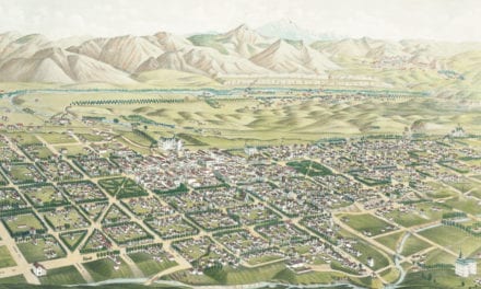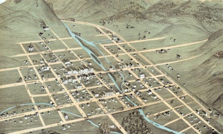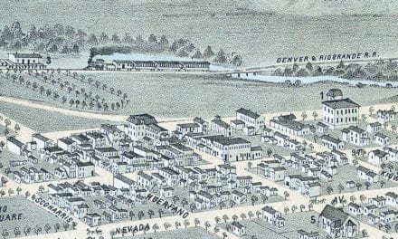
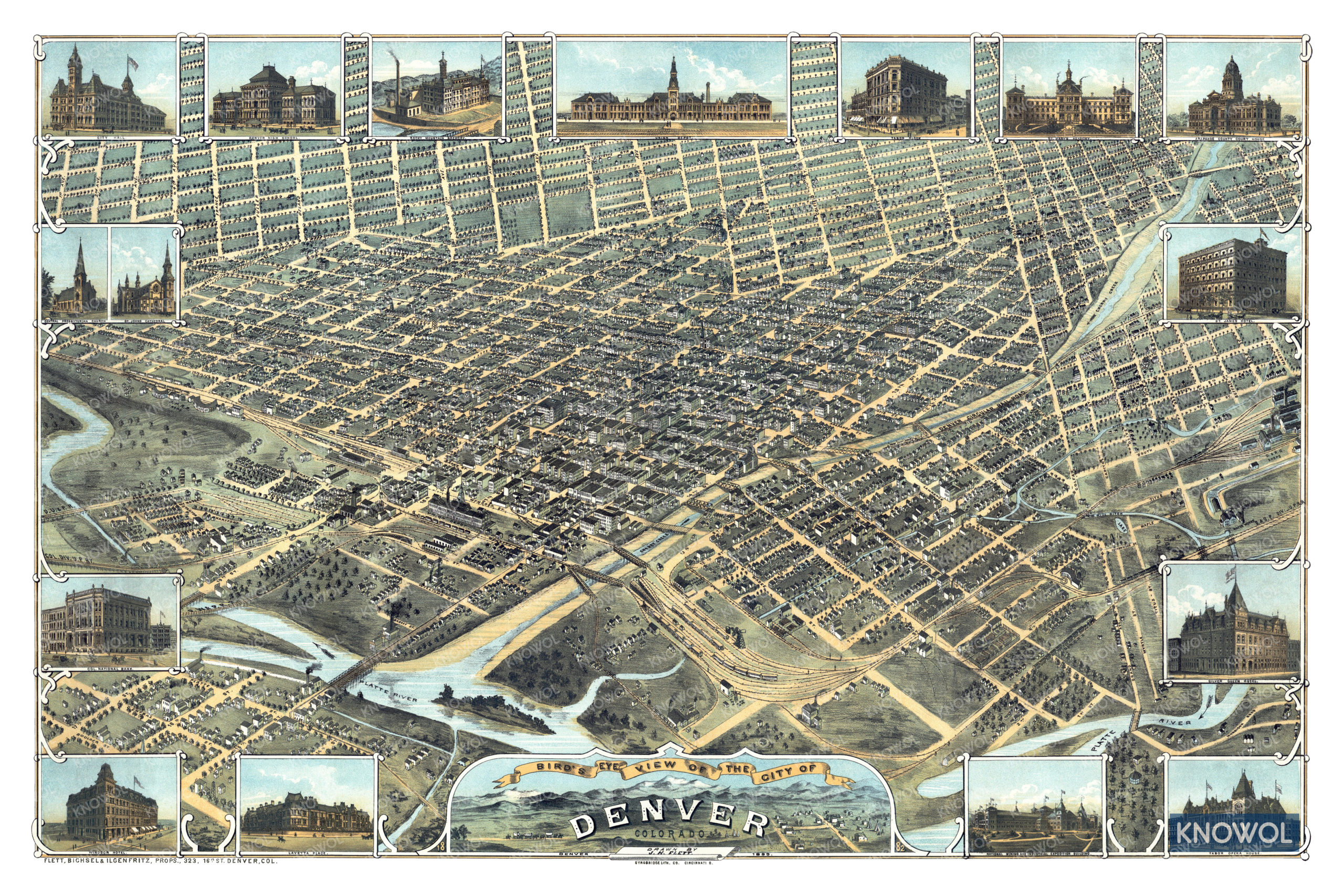
This map of Denver, Colorado was created in 1882 by J.H. Flett, a prominent 19th century cartographer. The map shows a detailed bird’s eye view of the city as it was, including street names and old landmarks.
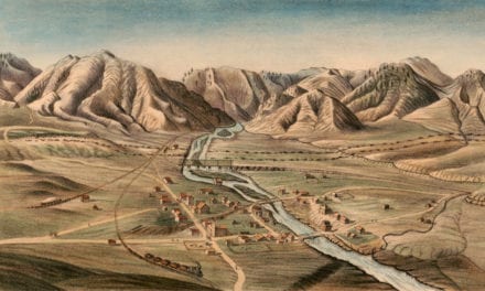
Denver landmarks on the map include Lavetta Place, Rocky Mountain Brewery, Windsor Hotel, City Hall, Denver High School, Union Depot, Tabor Block, St. Mary’s Academy, St. James Hotel, Tabor Opera House, and more. An inset at the bottom of the map features a drawing of Denver in 1859.
This historic map of Denver, CO has been restored by KNOWOL. Reproductions of the map are available here.
Bird’s Eye View of Denver, Colorado in 1882
This beautiful old map will make an attractive addition to your office, library, or den and can even be used to teach children the geography and history of Denver. When you’re done exploring, click here to get your copy of the map.