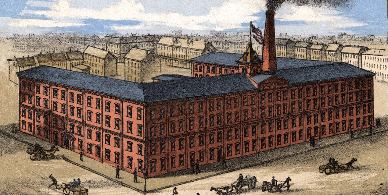
This vintage map of Hoboken, New Jersey was created in 1881 and shows a bird’s eye view of the city as it once was, including street names, old landmarks, railroads, steamship piers, factories, churches, hotels, businesses, homes, and the busy waterfront along the Hudson River. This is the highest quality colorized version of the map to exist. It was restored and colorized by KNOWOL.
Historic Hoboken landmarks on the map include City Hall, First National Bank of Hoboken, Stevens Institute of Technology, German Club, Busch Hotel, Park Hotel, Hamburg American Packet Co., U.S. Bonded Warehouse “Hoboken Stores,” North German Lloyd S.S. Piers, National Line S.S. Pier, Hoboken Riding Academy and Livery Stable, New Jersey Ice Co., Hoboken Coal Co.’s Pier, Weber’s Germania Garden Theatre, Hoboken Academy, Castle Point Coal Co.’s Pier, Atlantic Boat Club House, American Lead Pencil Co.’s Manufactory, Fonteine Pin Manufacturing Co.’s Works, Geo. Focht Iron Works, Steamer Marion Rockaway Boat, Steamer Long Branch, and many of the churches, streets, docks, rail yards, factories, and waterfront businesses that shaped Hoboken in the late 1800s.
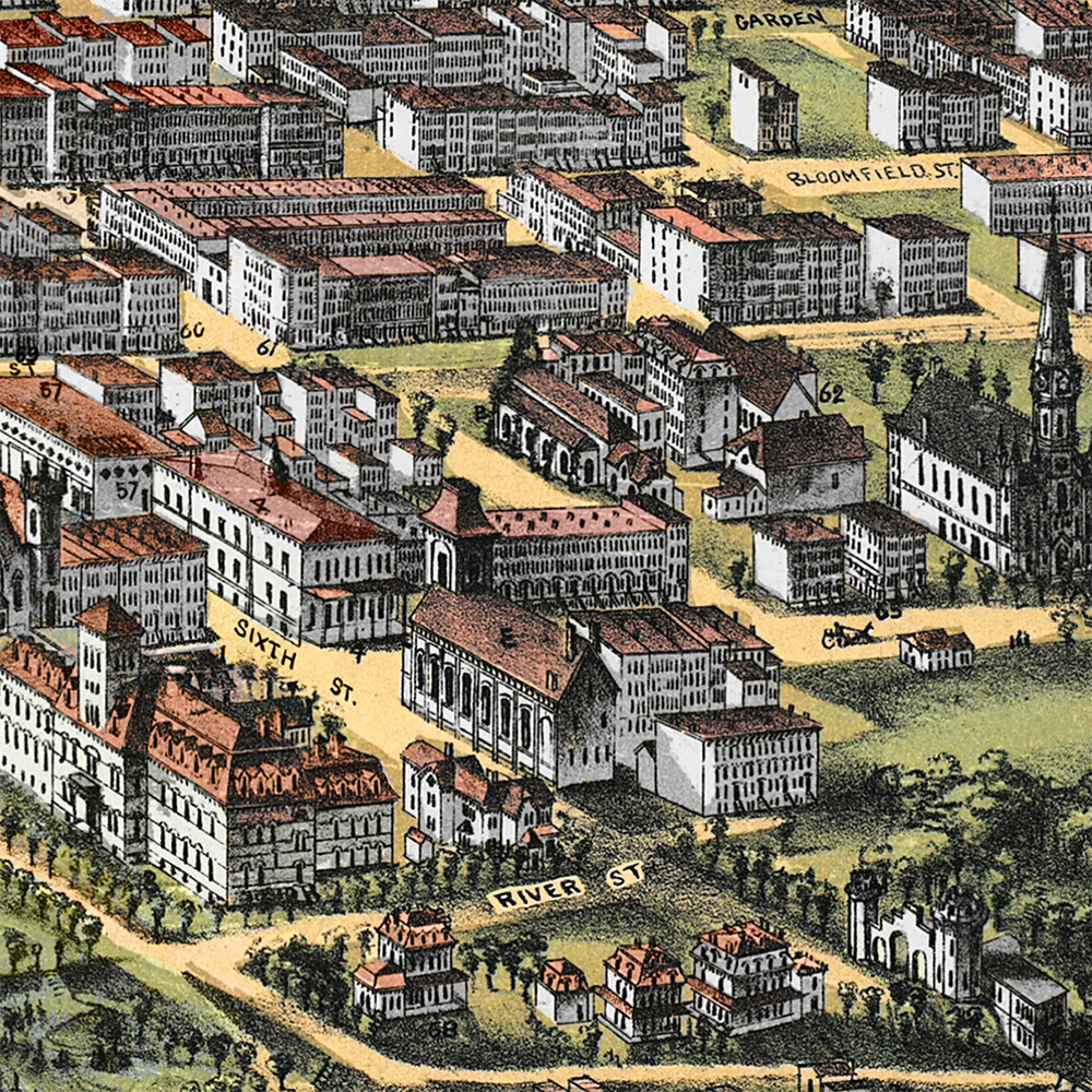
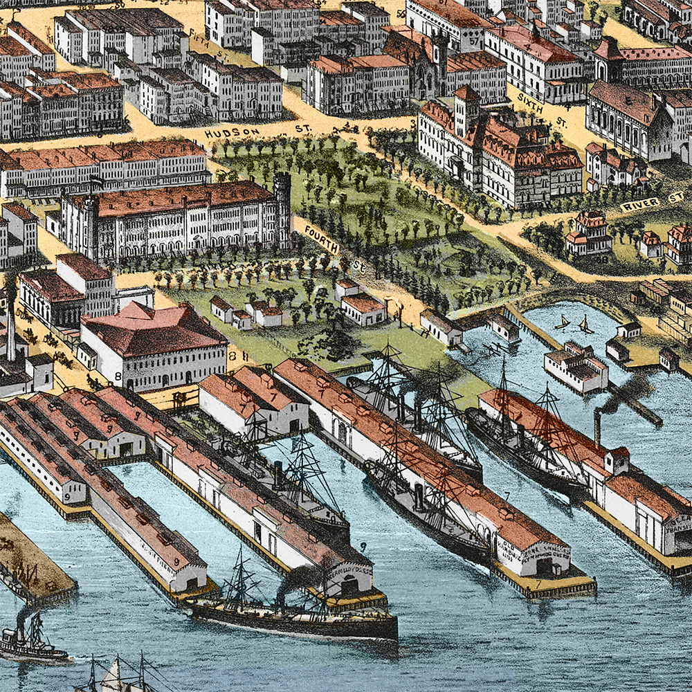
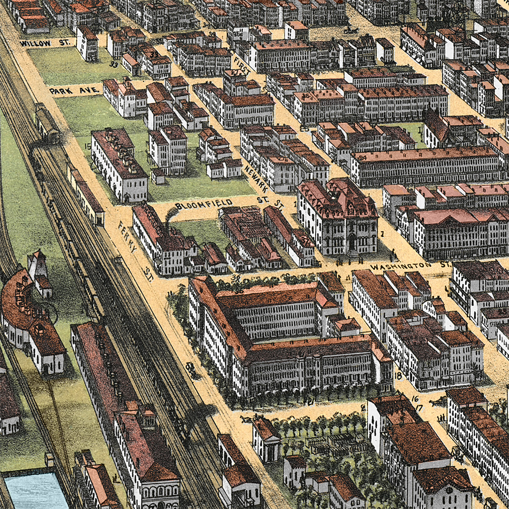
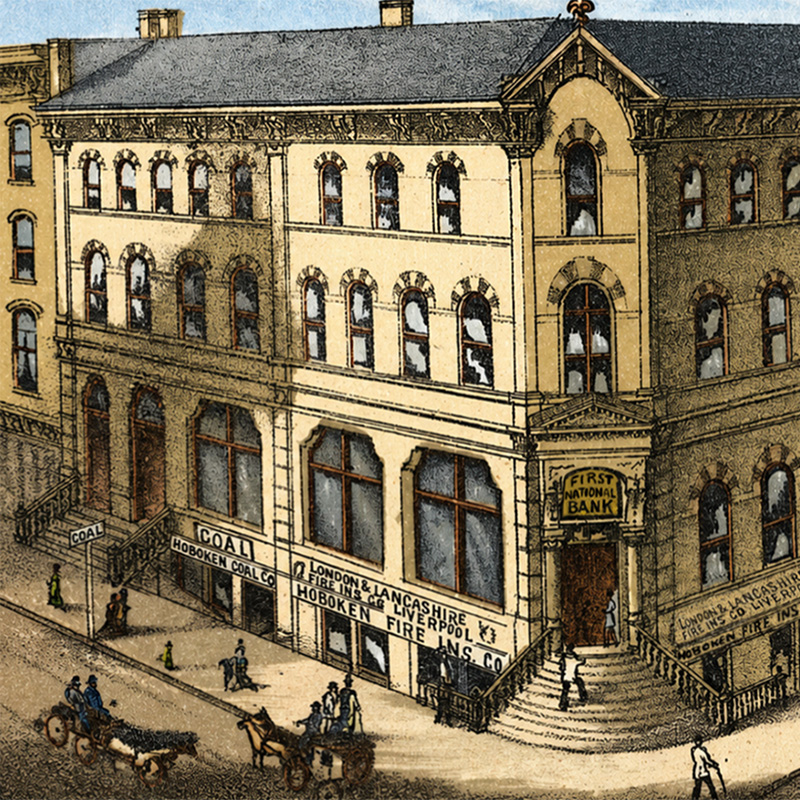
This vintage map of Hoboken has been lovingly restored and colorized by KNOWOL. Reproductions of the restored map are available here. You can click on the image below to view a large version.
Vintage Map of Hoboken, New Jersey 1881
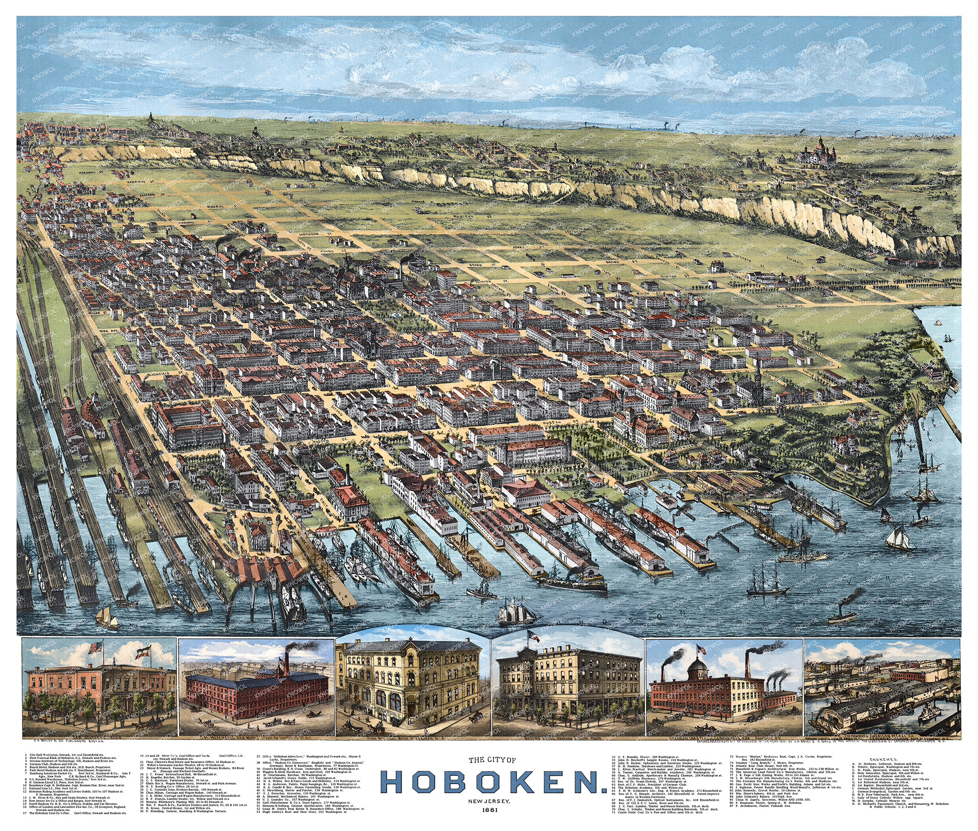
Restored 1881 bird’s-eye map of Hoboken, New Jersey, showing historic streets, Hudson River piers, railroads, churches, factories, homes, and landmarks.
At the time this map was drawn, Hoboken was one of the most active waterfront cities on the Hudson River. The city was shaped by its ferry traffic, steamship lines, rail connections, manufacturing districts, and close ties to New York Harbor. Long piers stretched into the river, ocean steamers crowded the shoreline, rail yards moved goods through the city, and Hoboken’s dense grid of streets was filled with churches, hotels, schools, factories, homes, and local businesses.
This beautiful old map of Hoboken makes an attractive addition to your office, library, or den and can even be used to teach children the geography and history of the area. When you’re done exploring, click here to get your copy of the restored map.