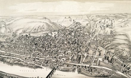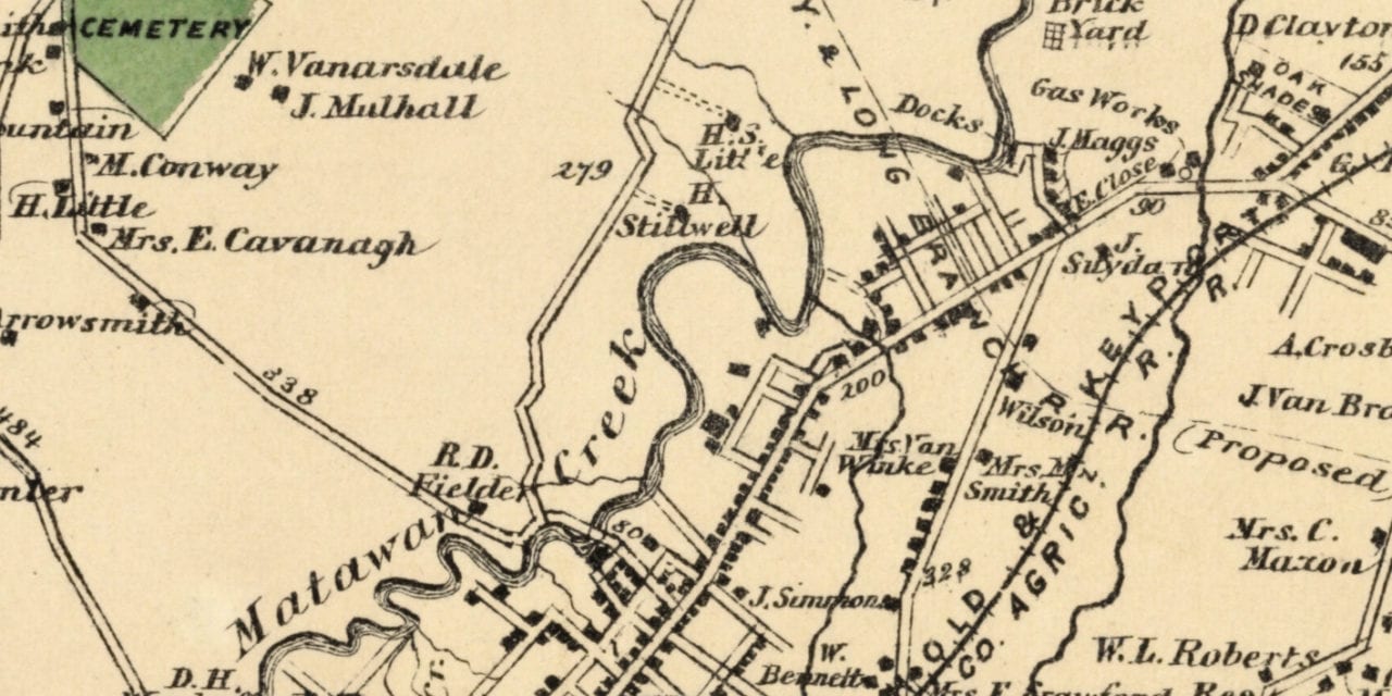
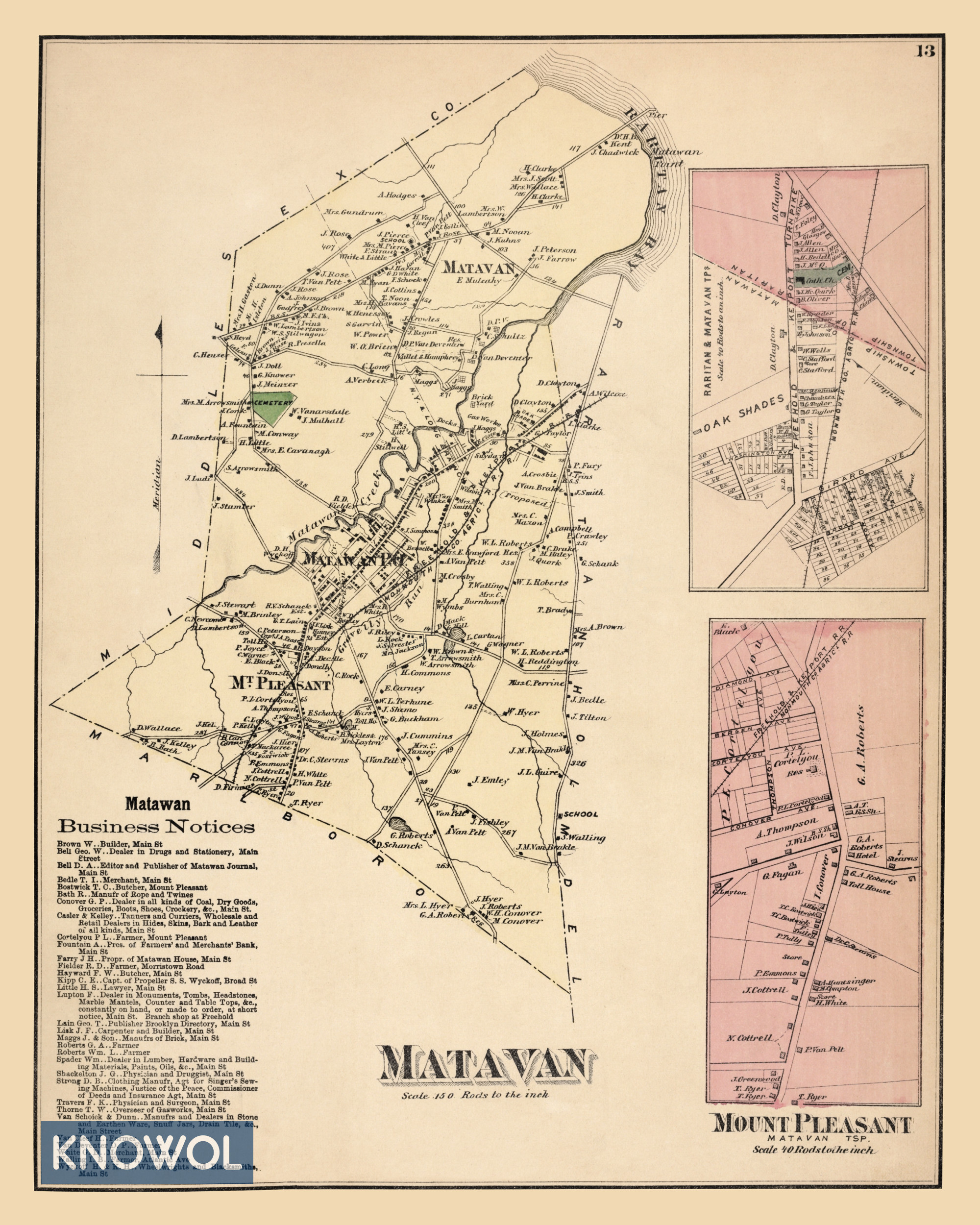
This old landowners map of Matavan, New Jersey was created in 1873 by Frederick W. Beers, a prominent 19th century cartographer. Each plot of land is labeled with the name of the person or business who owned it at the time.
Matavan Township included the village of Middletown Point, Mt. Pleasant, and Matawan. The Township was named for the creek as well as the village of Matawan.
The spelling of “Matawan” and “Matavan” was used interchangeably at the time, with “Matavan” being the official spelling. In 1977, the residents of “Matawan” Township voted to change the name to Aberdeen.
Landmarks on the map include the Matawan Post Office, Raritan Bay, Matawan Point, Freehold & Keyport Turnpike, Oak Shades, Bostwick the Butcher, Matawan Creek, the proposed New York & Long Branch Railroad, and more.
This historic map of Matawan was restored by KNOWOL. Reproductions of the restored map are available here.
Landowners Map of Matavan, NJ from 1873
This old map of Matavan makes an attractive addition to your office, library, or den and can even be used to teach children the geography and history of the area. When you’re done exploring, click here to get your copy.