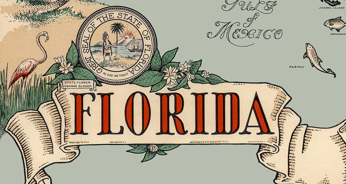
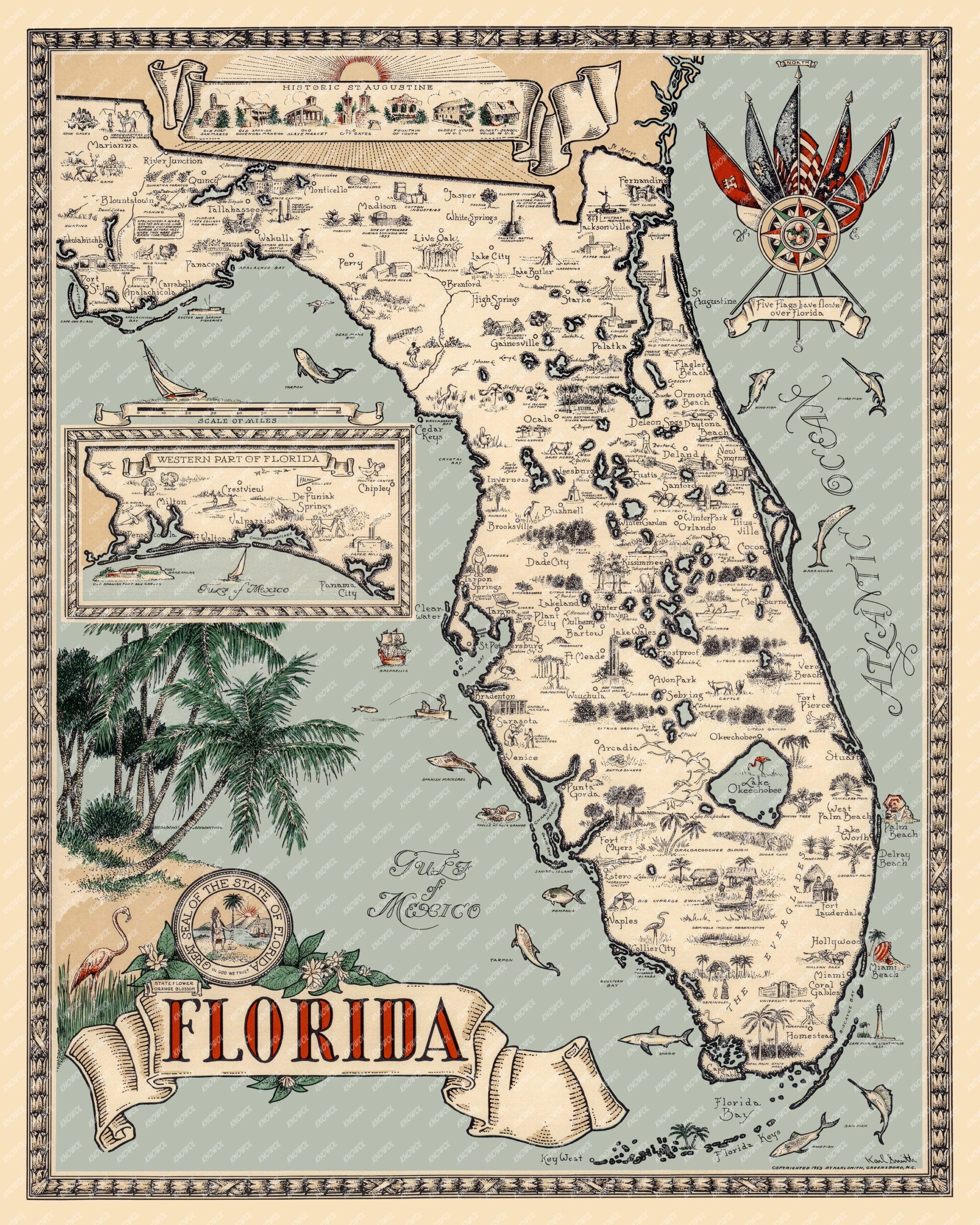
This vintage pictorial map of Florida was created in 1953 and illustrated by Karl Smith of Greensboro, North Carolina. The map presents a beautiful mid-century view of the Sunshine State, showing Florida’s historic landmarks, tropical wildlife, beaches, cities, legends, and coastal wonders from Pensacola to Key West. This vintage pictorial map of Florida was restored by KNOWOL. Reproductions of the restored map are available here.
Cleverly combining Florida history, tourism, and natural beauty, this pictorial chart captures the romance of old Florida in wonderful detail. The map features Historic St. Augustine, the “Five Flags” that have flown over Florida, the Everglades, Lake Okeechobee, orange groves, Seminole villages, palm trees, flamingos, alligators, fish, birds, Spanish forts, lighthouses, and many famous Florida towns and cities.
The map also includes a charming inset of Western Florida, with Pensacola, Fort Walton, DeFuniak Springs, Panama City, and the Gulf Coast. Across the rest of the state are drawings of springs, cattle country, citrus groves, tropical birds, coastal resorts, and the famous Florida Keys.
Vintage Map of Florida, 1953
This historic map of Florida will make an attractive addition to your office, library, den, beach house, or Florida room. It is also a wonderful gift for anyone who loves Florida history, vintage maps, tropical wildlife, and the lost charm of old Florida.
When you’re done exploring, click here to get your copy of this historic Florida map.